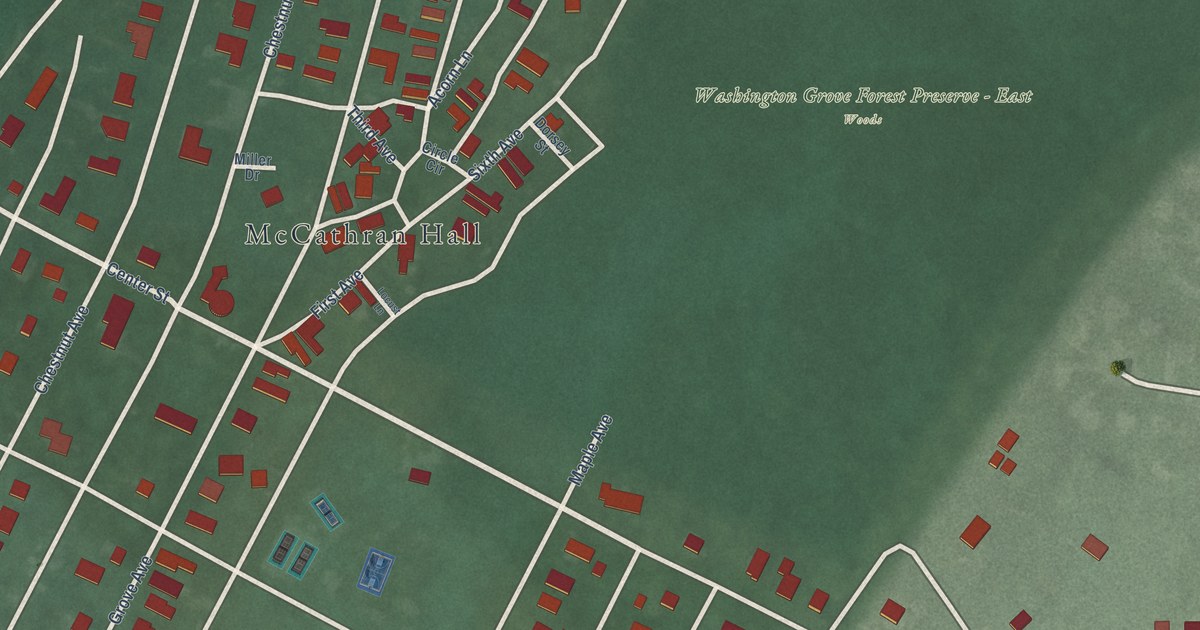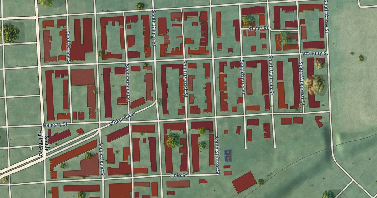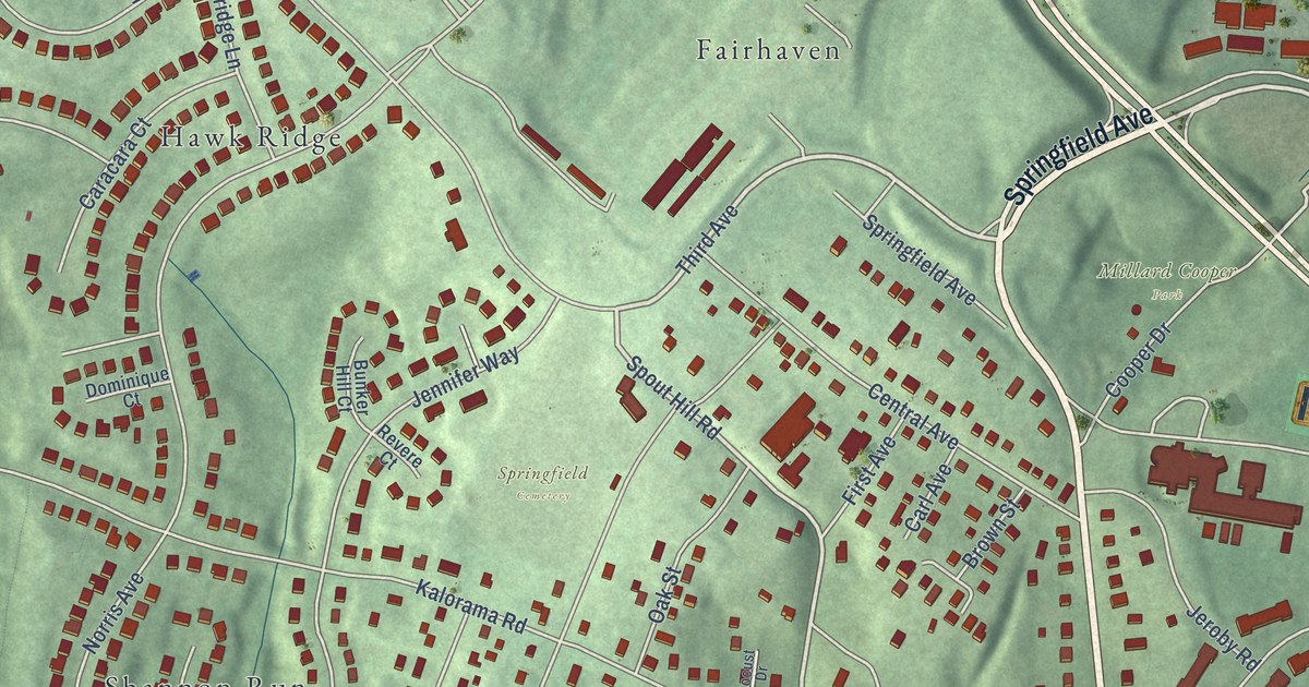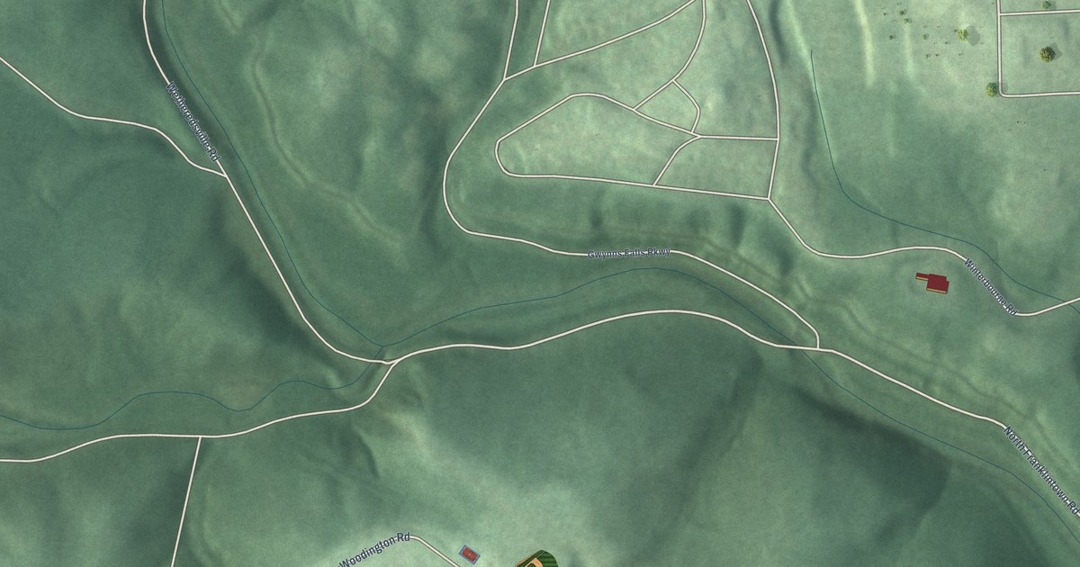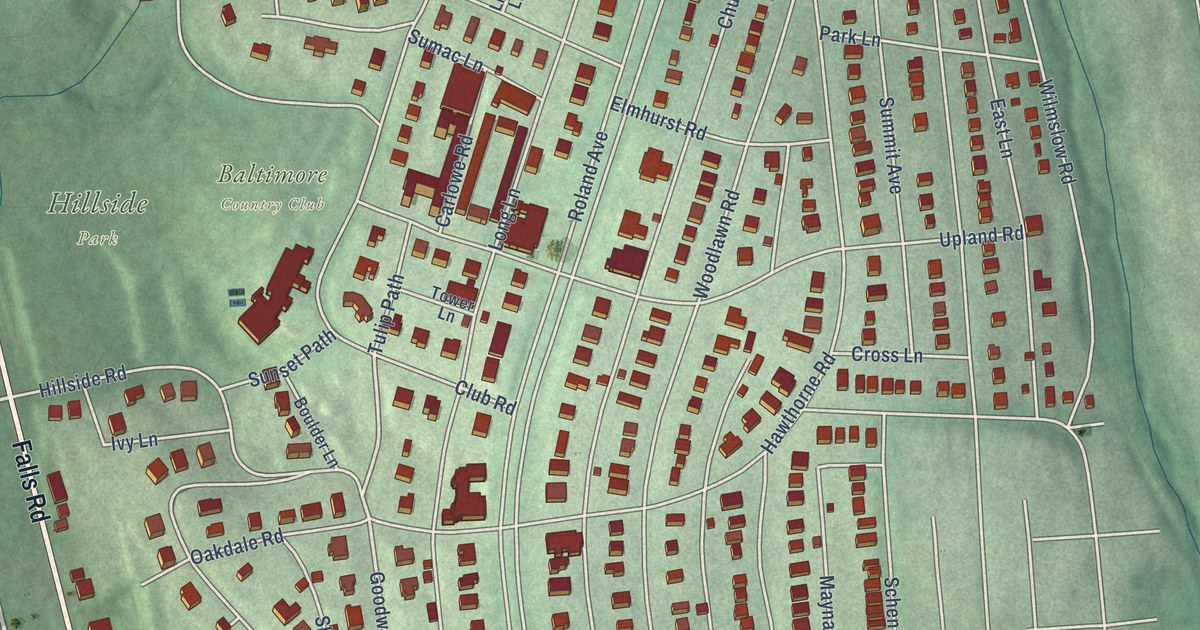
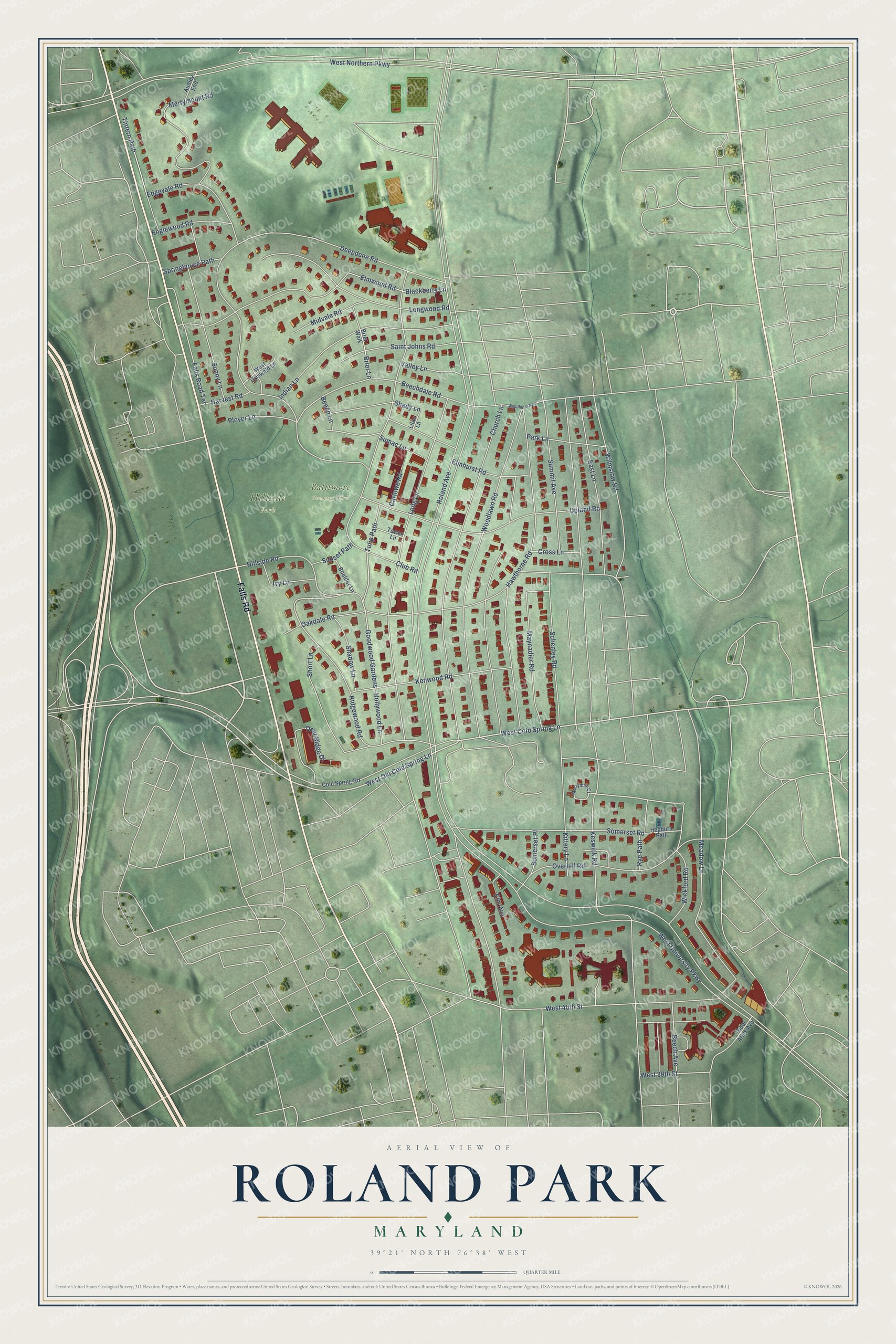
This beautifully detailed map of Roland Park, Maryland was created in 2026 using aerial imagery combined with modern topographical, census, street and landmark data. It's a modern aerial view of Roland Park in Baltimore City, Maryland, that combines modern data with a vintage aesthetic. The roads feature printed names, and if you look closely you can find your exact house accurately shown in its correct location.
Explore an aerial view of Roland Park, Maryland
On this map you'll find Baltimore Country Club, Hillside Park, Falls Road, West Old Cold Spring Lane, West Cold Spring Lane, Falls Road Terrace, Goodwood Gardens, Beechdale Road, Tintern Path, Roland Avenue, West University Parkway, Edgevale Road, and more. Each red shape is a building, so zoom in on the preview and look for yours.
Roland Park has a story worth telling. The National Register of Historic Places puts it this way: "The Lake Drive Apartments is an
illustration of the national trend in housing in the first quarter of the twentieth century, as
apartment buildings became an integral part of the urban culture that considered the apartment
a sign of financial and social status."
Roland Park is a neighborhood in Baltimore City.
Take a closer look at the Roland Park map
Names on this map
These names are printed on this map.
Places: Baltimore Country Club and Hillside Park.
Streets and roads: Falls Road, West Old Cold Spring Lane, West Cold Spring Lane, Falls Road Terrace, Goodwood Gardens, Beechdale Road, Tintern Path, Roland Avenue, West University Parkway, Edgevale Road, Keswick Road, West Northern Parkway.
More street names, A to Z
Audley End, Beech Avenue, Beech Lane, Blackberry Lane, Boulder Lane, Brier Lane, Brier Walk, Carlowe Road, Church Lane, Club Road, Cold Spring Road, Cross Lane, Deepdene Road, Deer Ridge Drive, East Lane, Elm Avenue, Elmhurst Road, Elmwood Road, Englewood Road, Harvest Road, Hawthorne Road, Hepburn Path, Hillside Road, Hollywood Lane, Indian Lane, Ivy Lane, Kenwood Road, Kittery Lane, Lilac Lane, Long Lane, Longwood Road, Maynadier Road, Meadow Lane, Merryman Court, Merrymount Road, Midvale Road, Oakdale Road, Overhill Road, Park Lane, Plover Lane, Ridgewood Road, Rye Path, Saint Johns Road, Schenley Road, Shadow Lane, Shady Lane, Short Lane, Somerset Place, Somerset Road, Springhouse Path, Sumac Lane, Summit Avenue, Sunny Lane, Sunset Path, Tower Lane, Tudor Arms Avenue, Tulip Path, Upland Road, Valley Lane, West 39th Street, West 40th Street, West Griswald Lane, Wickford Road, Wilmslow Road, Woodlawn Road, Wyndhurst Avenue.
Created by KNOWOL in 2026. The buildings are small red shapes, the roads carry their printed names, and shaded relief shows the shape of the land. The title panel reads "AERIAL VIEW OF ROLAND PARK MARYLAND" with 39°21' NORTH 76°38' WEST.
It looks right in a kitchen, an office or a den, and it's a gift for anyone who grew up in Roland Park or moved away. Open the preview and find your street. See sizes and frames for the Roland Park map.