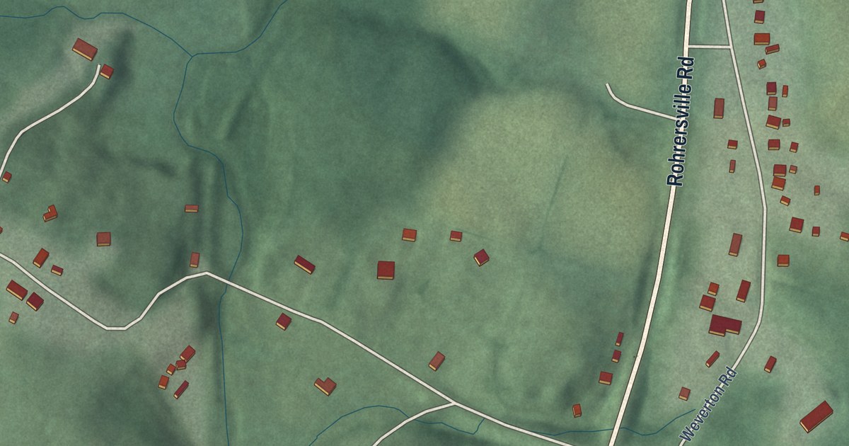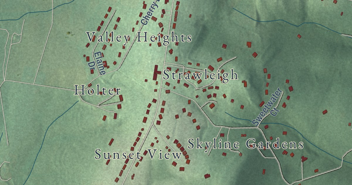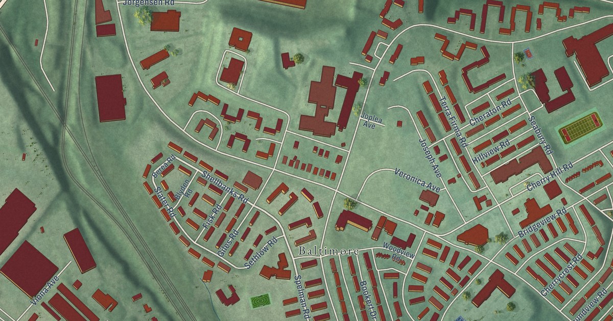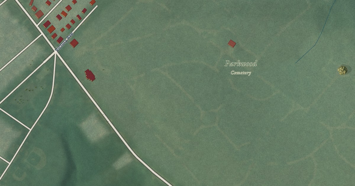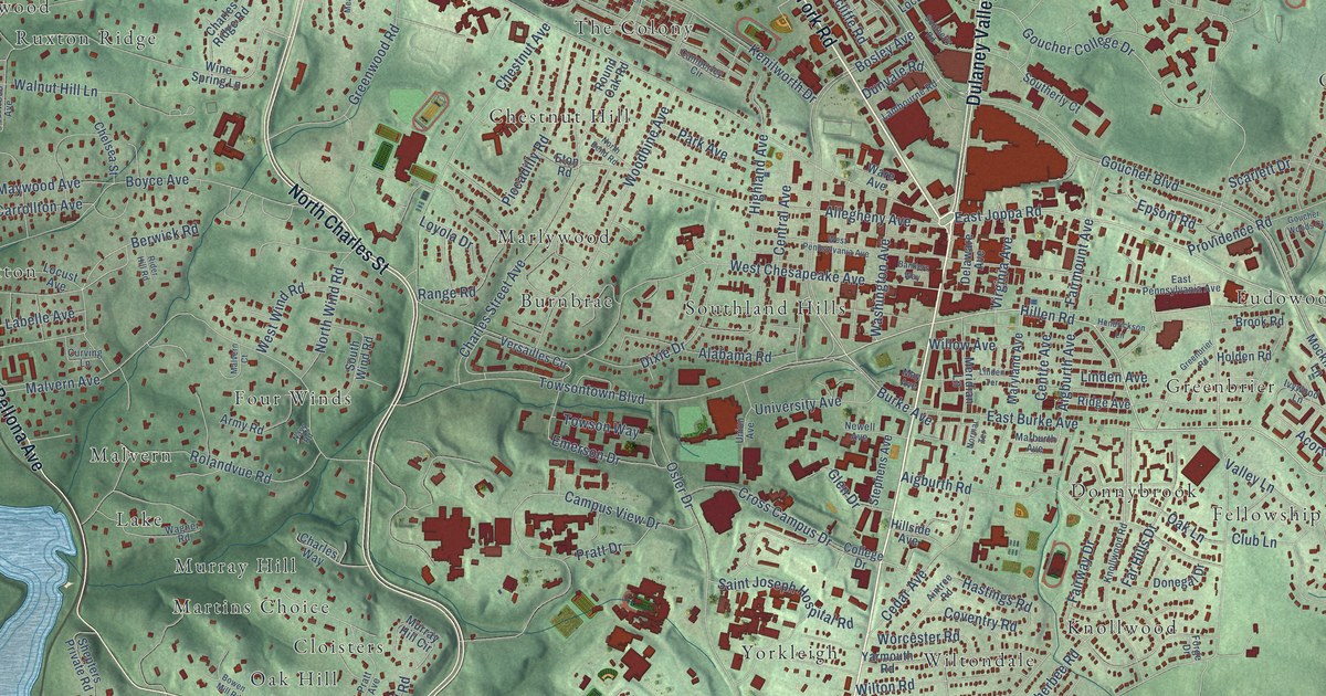
This beautifully detailed map of Towson, Maryland was created in 2026 using aerial imagery combined with modern topographical, census, street and landmark data. It’s a one-of-a-kind view of Towson that combines accurate data with a vintage aesthetic. The map shows every building in its true location, many of the roads carry their names, and the shaded topographic relief shows the shape of the land.
Explore an aerial view of Towson, Maryland
On the map you’ll find Anneslie, Armagh, Bare Hills, Bridleshire, Burnbrae, Campus Hills, Chestnut Hill, Cloisters, Dembeigh Hill, Donnybrook, Eudowood, Fellowship Forest, and more. If you look closely you can even find your house accurately drawn in its correct location. Zoom in on the preview to look for yours.
Did you know this about Towson, Maryland?
From Baltimore Heritage: "Saint James is the second-oldest church operating in Towson and the oldest of the area’s Black congregations."
Towson is a community in Baltimore County.
Take a closer look at the Towson map
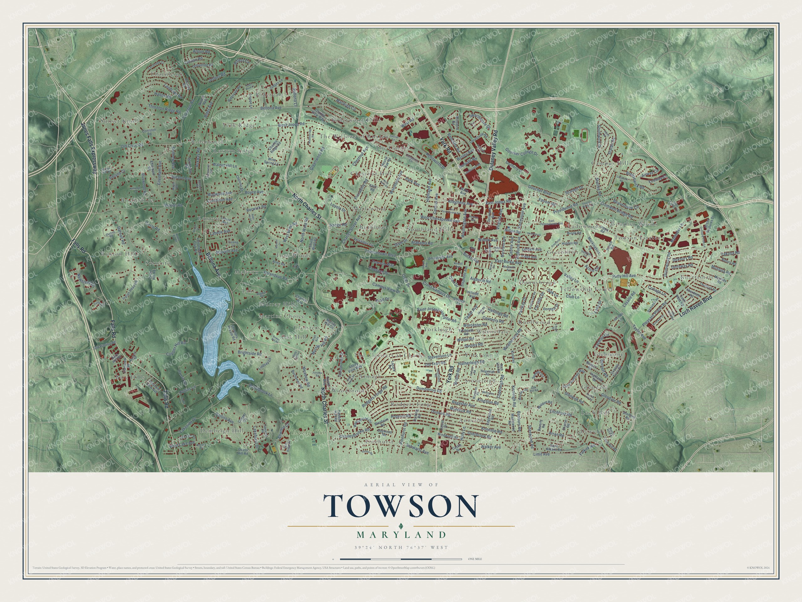
Street and place names on the Towson, Maryland map
These names are printed on the map of Towson, Maryland.
Places: Anneslie, Armagh, Bare Hills, Bridleshire, Burnbrae, Campus Hills, Chestnut Hill, Cloisters, Dembeigh Hill, Donnybrook, Eudowood, Fellowship Forest, Four Winds, Glendale, Glenmont, Goucher Woods, Greenbrier, Idlewylde, Knettishall, Knollwood, Lake, Loch Hill, Malvern, Marlywood, Martins Choice, Murray Hill, Oak Hill, Pinehurst, Ridervale, Riderwood, Riderwood Hills, Rodgers Forge, Ruxton, Ruxton Hills, Ruxton Ridge, Sorrento, Southland Hills, Stoneleigh, Sunset Knoll, The Cloisters at Charles, The Colony, The Willows of Ruxton, Thornleigh, Towson Estates, Wiltondale, Woodbrook, York Ridge, Yorkleigh, Yorktown and Elkridge Club.
Streets and roads: York Road, North Charles Street, Loch Raven Boulevard, Falls Road, Bellona Avenue, Dulaney Valley Road, Jones Falls Expressway, East Joppa Road, Putty Hill Avenue, Hillen Road, Limit Avenue, Bosley Avenue.
More street names, A to Z
Abbey View Way, Aberdeen Road, Acorn Circle, Aigburth Avenue, Aigburth Road, Aintree Road, Airway Circle, Alabama Road, Allegheny Avenue, Allwood Court, Alston Road, Anneslie Road, Army Road, Arran Road, Ballston Road, Banbury Road, Bankers Way, Barclay Road, Bare Hill Road, Barksdale Road, Barnett Road, Barroll Road, Beaverbank Circle, Bellona Lane, Berwick Road, Betty Bush Lane, Beverly Road, Blenheim Road, Bowen Mill Road, Boyce Avenue, Breezewick Road, Brightside Road, Bristol Road, Brixton Road, Brook Road, Buchanan Road, Burke Avenue, Burnley Road, Camberley Circle, Campus View Drive, Canter Way, Carrbridge Circle, Carrollton Avenue, Castle Drive, Cedar Avenue, Central Avenue, Centre Avenue, Charlesbrooke Road, Charles Ridge Road, Charles Street Avenue, Charles View Way, Charles Way, Chelsea Street, Chestnut Avenue, Circle Hill Road, Circle Road, Clarks Lane, Clarkview Road, Cloister Gate Drive, Club Lane, College Drive, Coniston Road, Cooper Circle, Copeleigh Road, Copper Hill Road, Cottage Lane, Coventry Road, Crestwick Road, Cromwell Bridge Road, Cross Campus Drive, Curving Lane, Darnall Road, Delaware Avenue, Dellsway Road, Dennis Avenue, Devon Hill Road, Dixie Drive, Donegal Drive, Dorking Road, Doxbury Road, Drumwood Road, Dumbarton Road, Dunkirk Road, Dunvale Road, East Burke Avenue, East Pennsylvania Avenue, Ecoway Court, Edgewood Road, Ellenham Avenue, Ellenham Road, Emerson Drive, Epsom Road, Eton Road, Fairford Lane, Fairmount Avenue, Fairview Road, Fairway Drive, Falkirk Road, Far Hills Drive, Forge Drive, Galliton Lane, Gaywood Road, Glendale Road, Glen Drive, Glen Eagles Court, Glen Keith Boulevard, Glenkirk Road, Goucher Boulevard, Goucher College Drive, Goucher Woods Court, Greenbrier Road, Green Pastures Drive, Greenwood Road, Haddon Hall Road, Halton Road, Hastings Road, Hatherleigh Road, Heather Hill Road, Heathfield Road, Hendrickson Lane, Highland Avenue, Highland Drive, Hillside Avenue, Holden Road, Hollins Avenue, Hollins Lane, Holly Lane, Hopkins Road, Hunt Ridge Road, Indian Head Road, Ivywood Lane, Jacobo Lane, Jeffers Circle, Jeffers Road, Joppa Road, Judges Lane, Kenilworth Drive, Kenleigh Road, Kimway, Kingston Road, Kirkwall Court, Kittredge Lane, Knollwood Road, Labelle Avenue, Lachlan Circle, Lake Drive, Lake Falls Road, Lakehurst Drive, Lakeside Drive, Lakeview Road, Lambourne Road, Lanark Road, Landon Road, Landrake Road, Lasalle Road, Lhirondelle Club Road, Linden Avenue, Linden Terrace, Lindsay Lane, Litchfield Road, Loch Hill Road, Loch Ness Road, Locust Avenue, Locust Drive, Locustvale Road, Loyola Drive, Maldon Road, Malvern Avenue, Malvern Court, Maple Avenue, Maplewood Road, Marburth Avenue, Marleigh Circle, Maryland Avenue, Maxalea Road, May Avenue, Maywood Avenue, Meadowridge Road, Meadow Road, Meridian Lane, Mockingbird Lane, Murdock Road, Murray Hill Circle, Murray Hill Road, Mussula Road, Myamby Road, Mylander Lane, Naturo Road, Navy Road, Newell Avenue, Newstead Lane, Normal Terrace, North Bend Road, North Tyrone Road, North Wind Road, Oak Hill Road, Oak Lane, Old Court Road, Old Pimlico Road, Old Trail Road, Orchard Tree Lane, Osler Drive, Overbrook Road, Oxford Road, Park Avenue, Piccadilly Road, Pinehurst Road, Pleasant Plains Road, Pleasant View Avenue, Pratt Avenue, Pratt Drive, Prince Road, Providence Road, Queens Ferry Road, Racquet Road, Radcliffe Road, Range Road, Raven Hill Road, Regester Avenue, Rich Hill Road, Rider Avenue, Rider Hill Road, Ridervale Road, Ridge Avenue, Ridgeleigh Road, Robin Hood Court, Rodgers Forge Road, Roland Avenue, Roland Court, Roland Run Road, Rolandvue Road, Roldrew Avenue, Round Oak Road, Ruxlea Court, Ruxton Hill Road, Ruxton Road, Ruxway Road, Ruxwood Road, Saint Albans Road, Saint Andrews Way, Saint Joseph Hospital Road, Scarlett Drive, Schwartz Avenue, Sharon Road, Shefford Road, Shelley Road, Shepters Private Road, Sherwood Avenue, Sherwood Road, Sibley Road, Skyline Road, Southerly Court, Southerly Road, Southwick Drive, South Wind Road, Springway Road, Starbit Road, Stephens Avenue, Stevenson Lane, Summit Circle, Sussex Road, Swarthmore Drive, Taylor Avenue, Templeton Road, Theo Lane, Thetford Road, Thicket Road, Thornton Ridge Road, Thornton Road, Towsontown Boulevard, Towson Way, Trappe Lane, Union Avenue, University Avenue, Valley Lane, Versailles Circle, Virginia Avenue, Wagner Road, Walker Avenue, Walnut Hill Lane, Walnutwood Circle, Wardman Road, Ware Avenue, Washington Avenue, Weatherbee Road, Wellington Road, West Chesapeake Avenue, West Joppa Road, West Lake Avenue, West Pennsylvania Avenue, West Road, West Wind Road, Willow Avenue, Wilton Road, Windwood Road, Wine Spring Lane, Winsford Road, Woodbine Avenue, Woodbrook Lane, Worcester Road, Yakona Road, Yarmouth Road.
See the Towson, Maryland map on a wall
The Towson map as an 18 x 24 inch print in a black frame.

This beautifully detailed map of Towson makes an attractive addition to your office, library, or den, and it can even be used to teach children the geography and history of the area. It also makes a great gift for anyone who grew up in Towson or moved away. When you’re done exploring, click here to get your copy of the Towson map.