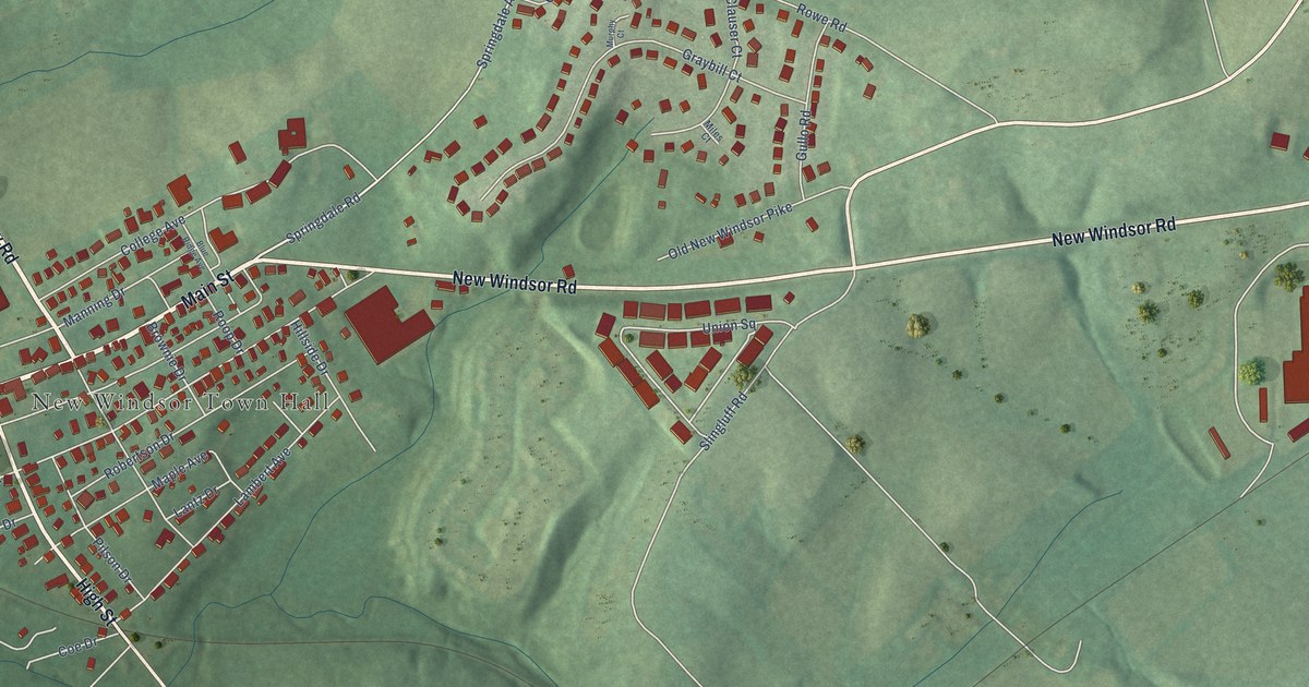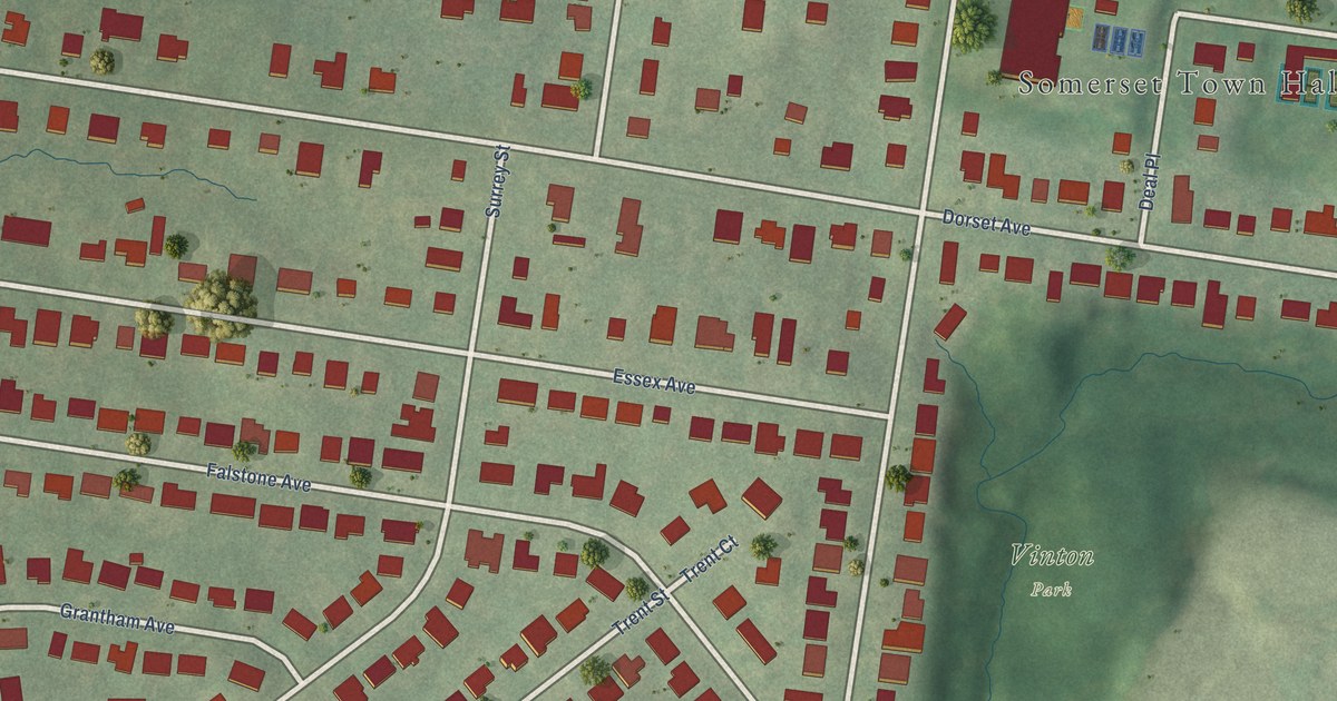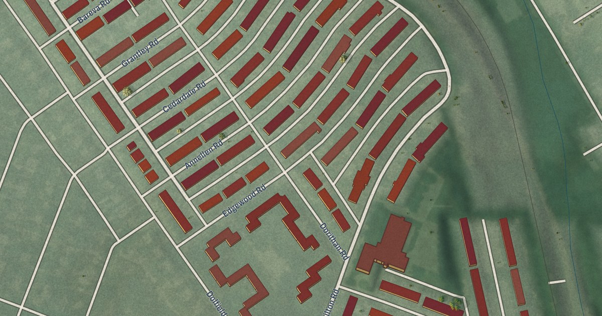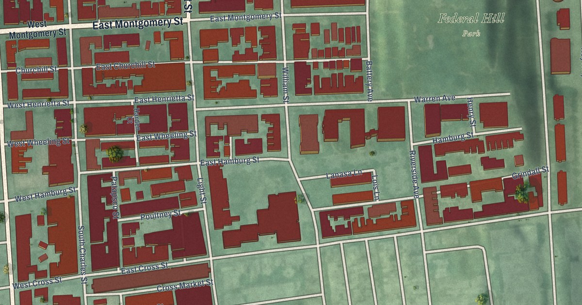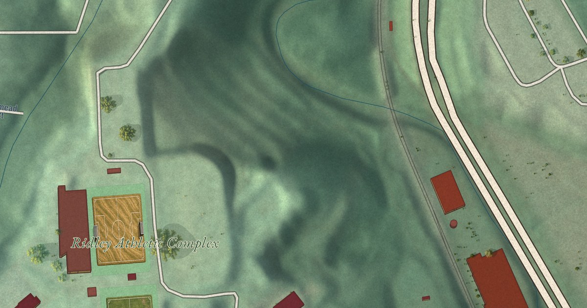
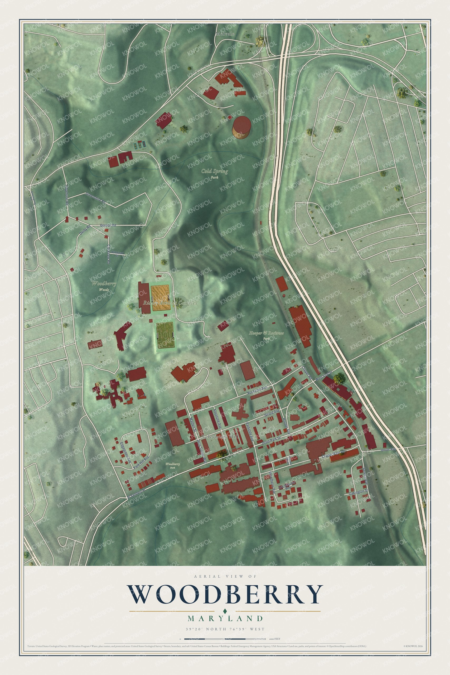
This beautifully detailed map of Woodberry, Maryland was created in 2026 using aerial imagery combined with modern topographical, census, street and landmark data. It's a modern aerial view of Woodberry in Baltimore City, Maryland, that combines modern data with a vintage aesthetic. The roads feature printed names, and if you look closely you can find your exact house accurately shown in its correct location.
Explore an aerial view of Woodberry, Maryland
On this map you'll find Cold Spring Park, Ridley Athletic Complex, Woodberry Woods, Hooper & Rockrose Park, Woodberry Park, Melvale, Television Hill, Clipper Road, Gordon Road, Al Sanders Place, Druid Park Drive, Jerry Turner Way, and more. Each red shape is a building, so zoom in on the preview and look for yours.
Here is a piece of Woodberry history, in the words of the record. The National Register of Historic Places puts it this way: "The dwellings in
Brick Hill, solidly-built masonry duplexes situated on lots large enough to
accommodate a kitchen garden, typify the housing provided for workers during
the industry's second phase of expansion in the 1870s."
Woodberry is a neighborhood in Baltimore City.
Take a closer look at the Woodberry map
Names on this map
These names are printed on this map.
Places: Cold Spring Park, Ridley Athletic Complex, Woodberry Woods, Hooper & Rockrose Park, Woodberry Park, Melvale and Television Hill.
Streets and roads: Clipper Road, Gordon Road, Al Sanders Place, Druid Park Drive, Jerry Turner Way, Malden Street, Rockrose Avenue, Greenshire Road, Parkdale Avenue, Hooper Avenue, Girard Avenue, Clipper Park Road.
More street names, A to Z
Ashmead Court, Clarkdale Road, Derby Road, Edgegreen Avenue, Edgehurst Road, Eric Schaefer Way, Foundry Mews, Greenspring Avenue, Keystone Avenue, Oakington Street, Park Hill Avenue, Seneca Avenue, Union Avenue, West 41st Street, Woodberry Avenue.
Created by KNOWOL in 2026. The buildings are small red shapes, the roads carry their printed names, and shaded relief shows the shape of the land. The title panel reads "AERIAL VIEW OF WOODBERRY MARYLAND" with 39°20' NORTH 76°39' WEST.
It suits a den, a classroom or a front hall, and it makes a gift for anyone with Woodberry roots. Open the preview and find the block you know. See sizes and frames for the Woodberry map.