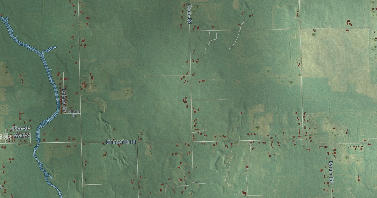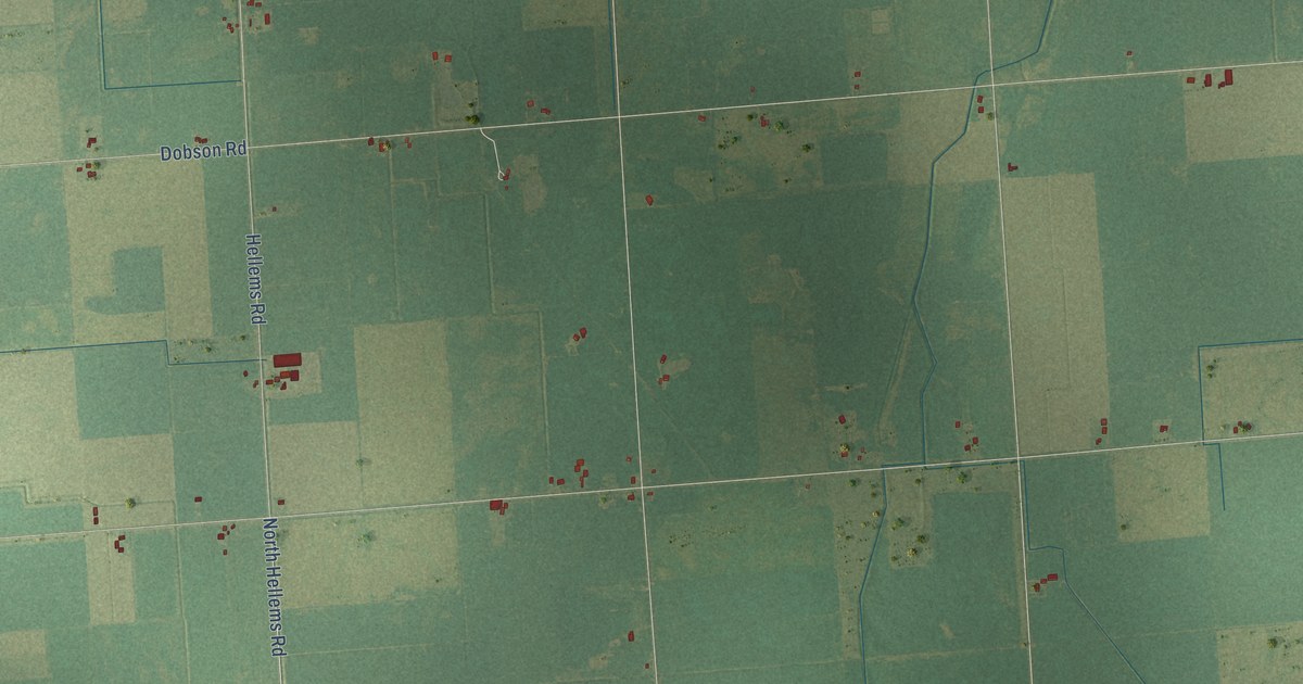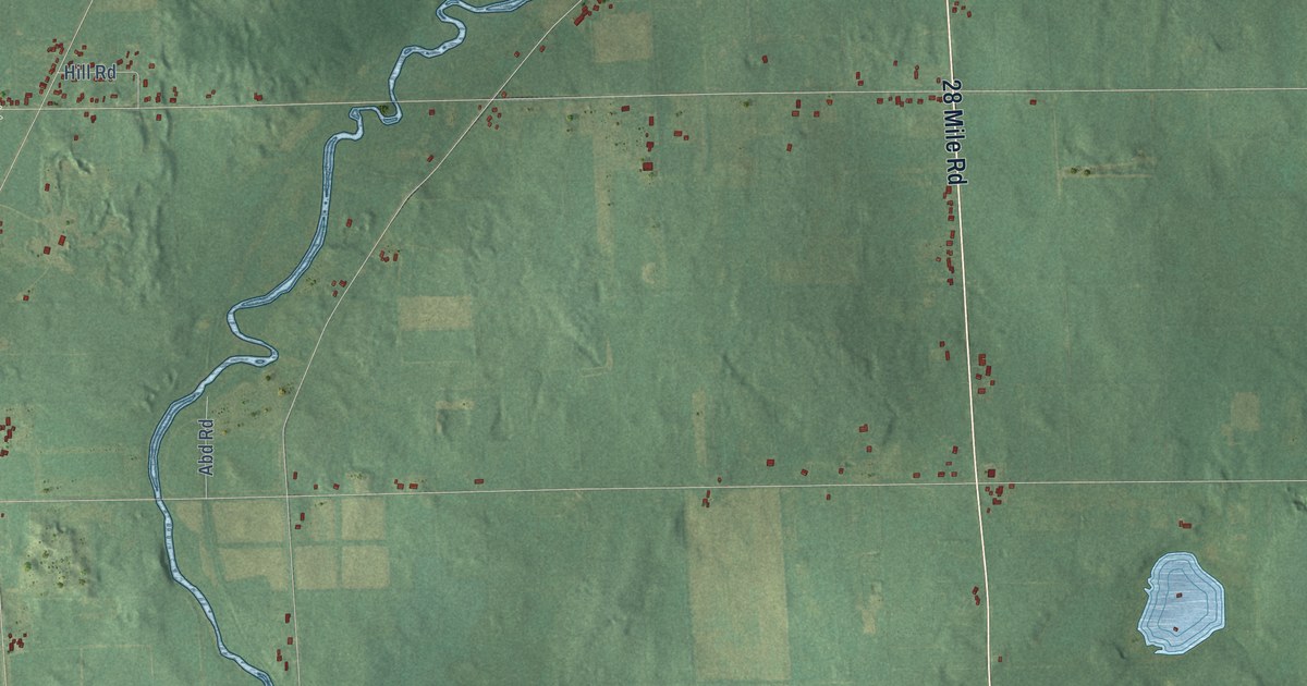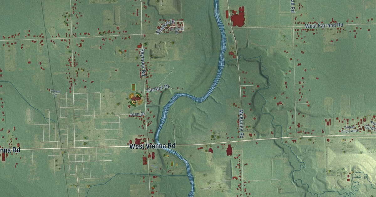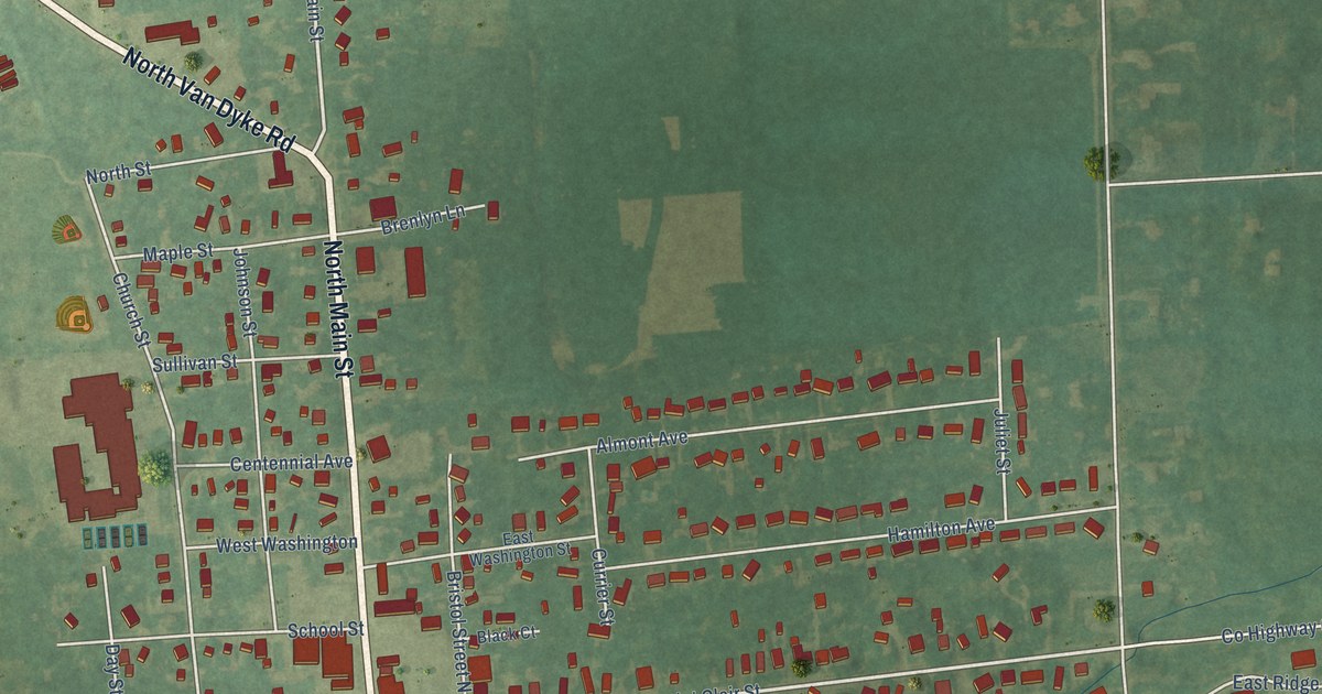
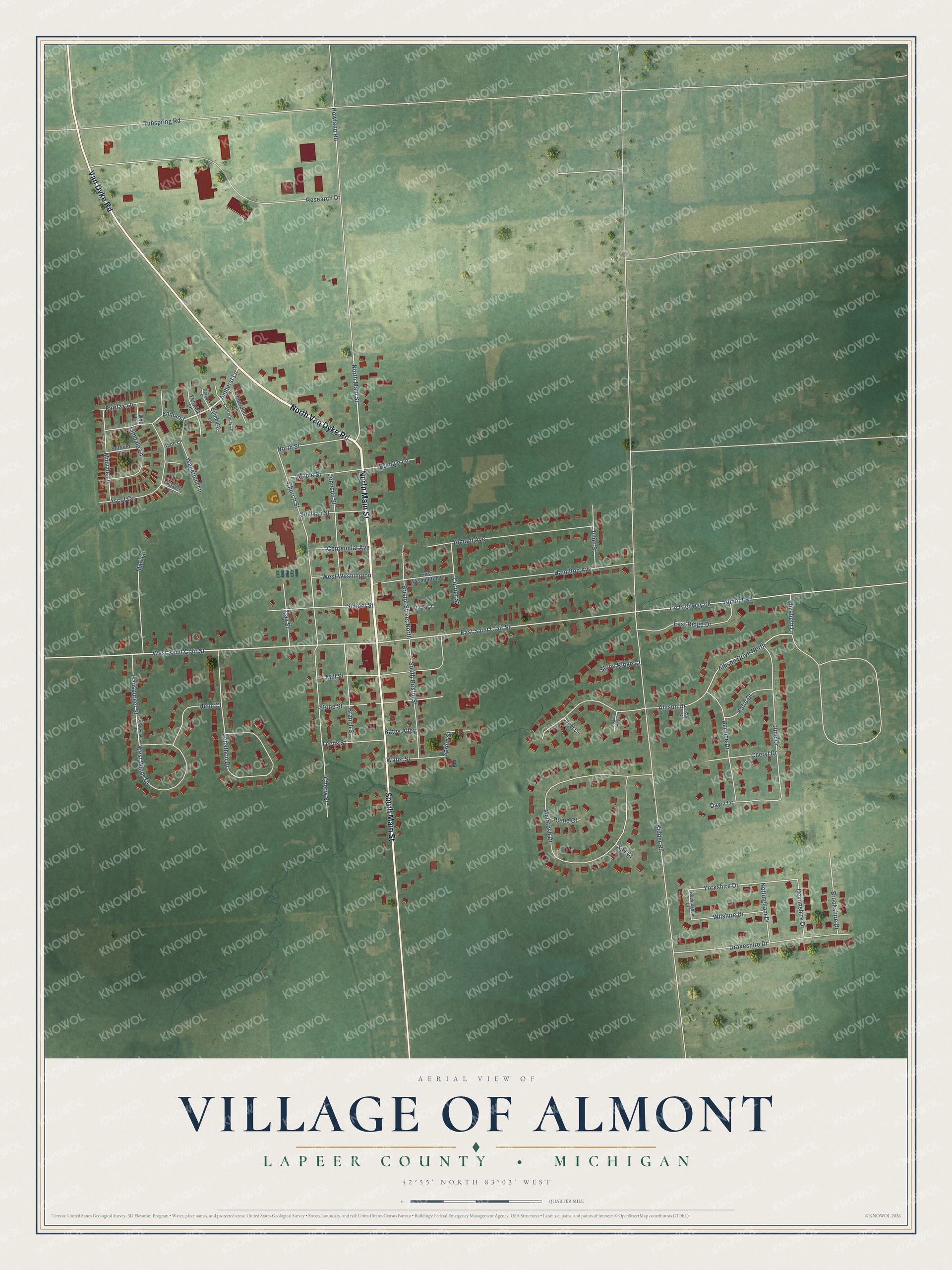
This beautifully detailed map of Almont, Michigan was created in 2026 using aerial imagery combined with modern topographical, census, street and landmark data. It's a modern aerial view of Almont in Lapeer County, Michigan, that combines modern data with a vintage aesthetic. The roads feature printed names, and if you look closely you can find your exact house accurately shown in its correct location.
Explore an aerial view of Almont, Michigan
On this map you'll find North Main Street, North Van Dyke Road, Van Dyke Road, South Main Street, Amherst Lane, Amherst, West Saint Clair Street, East Saint Clair Street, Yorkshire Drive, Church Street, Kidder Road, McIntosh Drive, and more. Each red shape is a building, so zoom in on the preview and look for yours.
Here is a piece of Almont history, in the words of the record. The History of Lapeer County puts it this way: "The Astor House, formerly called the Exchange, was the first hotel in the village of Almont. It was built in 1836 by Hubbard Hall, and soon after was purchased and kept by Henry Wing."
Almont is a village in Lapeer County. The Census Bureau counted 2,846 people here in 2020.
Take a closer look at the Almont map
Names on this map
These names are printed on this map.
Streets and roads: North Main Street, North Van Dyke Road, Van Dyke Road, South Main Street, Amherst Lane, Amherst, West Saint Clair Street, East Saint Clair Street, Yorkshire Drive, Church Street, Kidder Road, McIntosh Drive.
More street names, A to Z
Aberdeen Lane, Allison Drive, Allison Drive North, Almont Avenue, Almont Road, Ascot Circle, Avon Lane, Bates Alley, Bernice Drive, Black Court, Branch Street, Brenlyn Lane, Bristol Street North, Brookshire Drive, Buckingham Drive, Canterbury Lane, Centennial Avenue, Cherry Street, Cheryl Drive, County Highway 68, Currier Street, Dawn Drive, Day Street, Devonshire Drive, Dorset Lane, Drakeshire Drive, East Ridge Drive, East Washington Street, Edinburg Lane, Elizabeth Lane, Elmdale Lane, Fairfax Lane, Fenwick Lane, Hamilton Avenue, Hansburger Street, Heim Court, Howland Road, Janet Lane, Johnson Street, Jonathon Drive, Juliet Street, June Drive, Katie Drive, Kay Court, Maple Street, Mari Lane, Midvale Lane, Mill Street, North Street, Nottingham Drive, Oak Lane, Research Drive, Rome Court, Saint Joseph Court, School Street, South Bristol Street, Spring Street, Spy Court, Stone Ridge Court, Stone Street, Suffield Lane, Sullivan Street, Teeds Street, Thornbury Lane, Tubspring Road, Wakefield Lane, Water Street, West Washington, West Winds Drive, Westwinds Drive, Wilshire Drive.
Created by KNOWOL in 2026. The buildings are small red shapes, the roads carry their printed names, and shaded relief shows the shape of the land. The title panel reads "AERIAL VIEW OF VILLAGE OF ALMONT, LAPEER COUNTY • MICHIGAN" with 42°55' NORTH 83°03' WEST.
It suits a den, a classroom or a front hall, and it makes a gift for anyone with Almont roots. Open the preview and find the block you know. See sizes and frames for the Almont map.