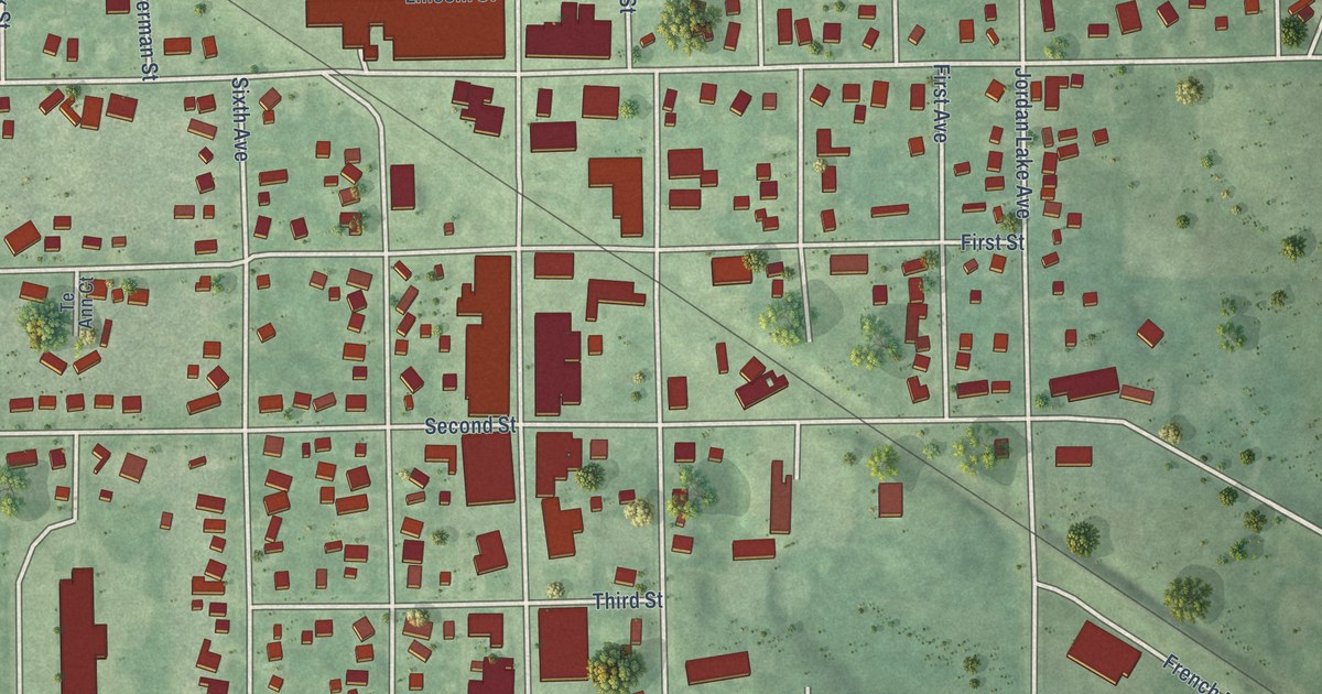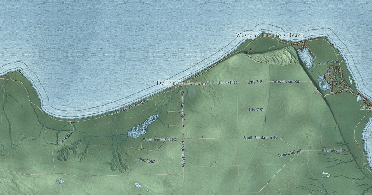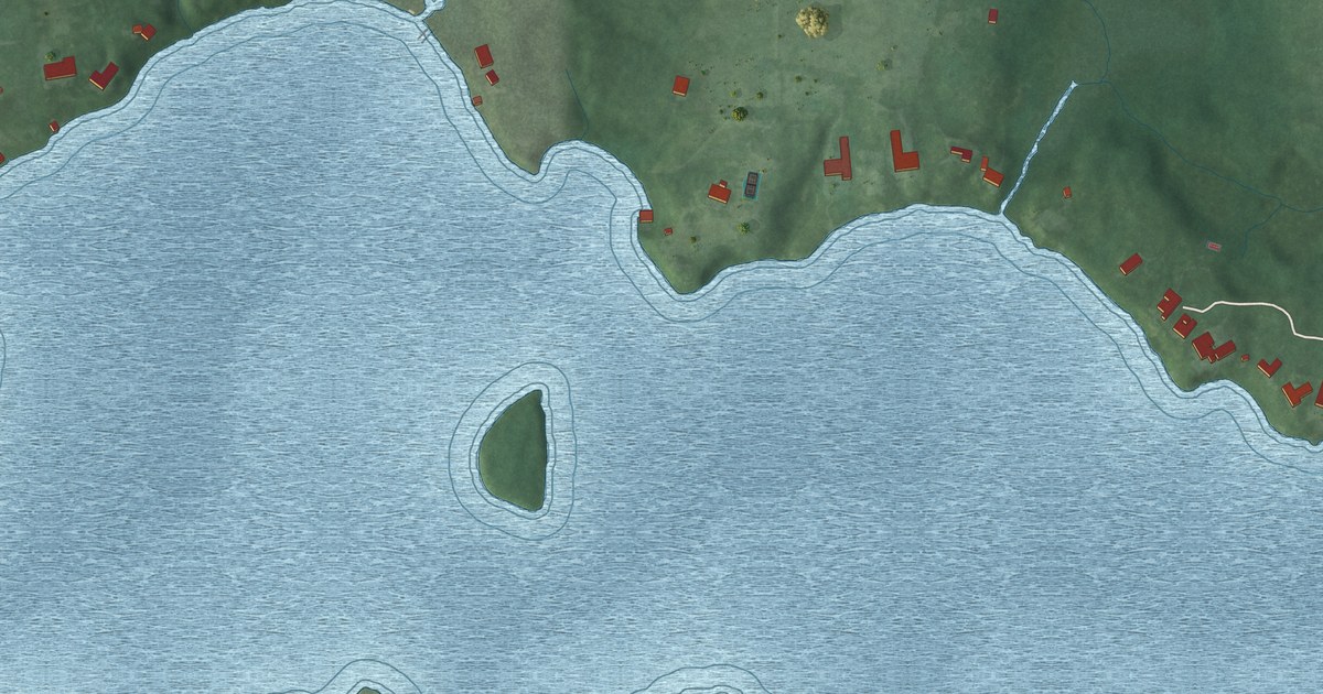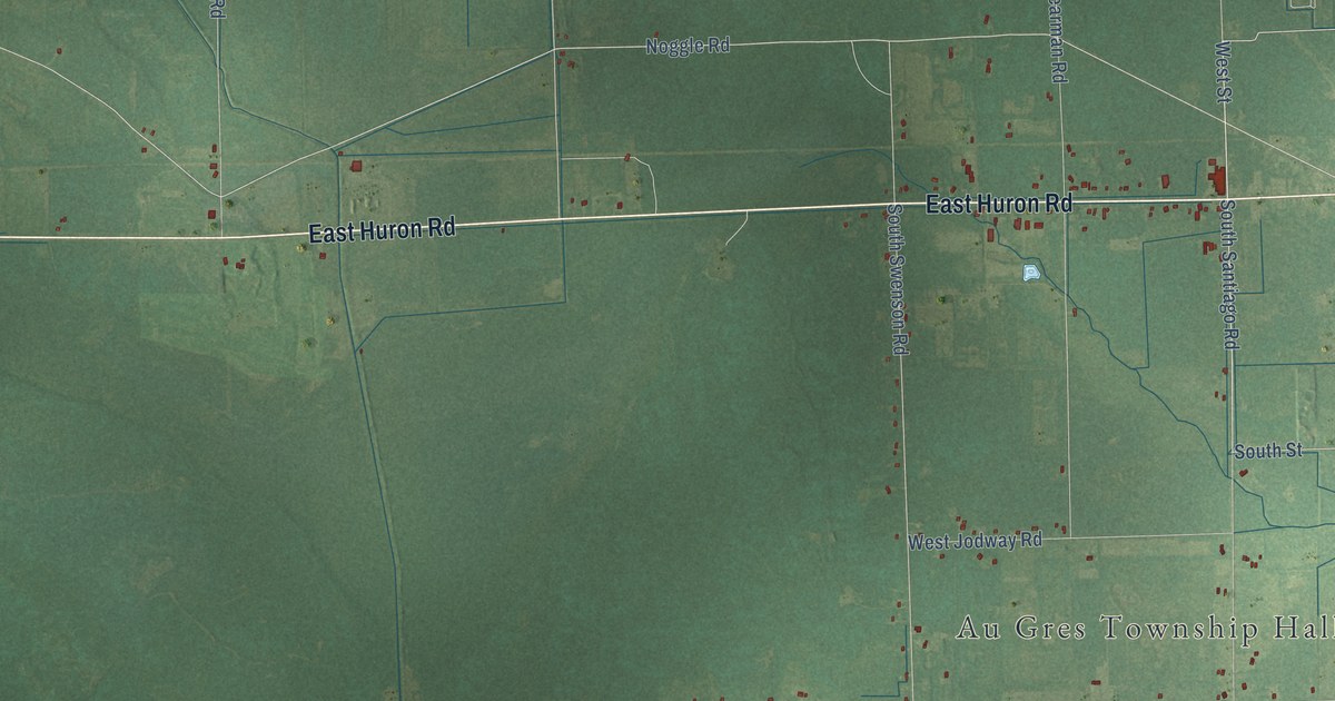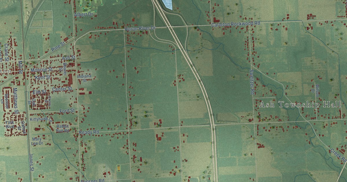
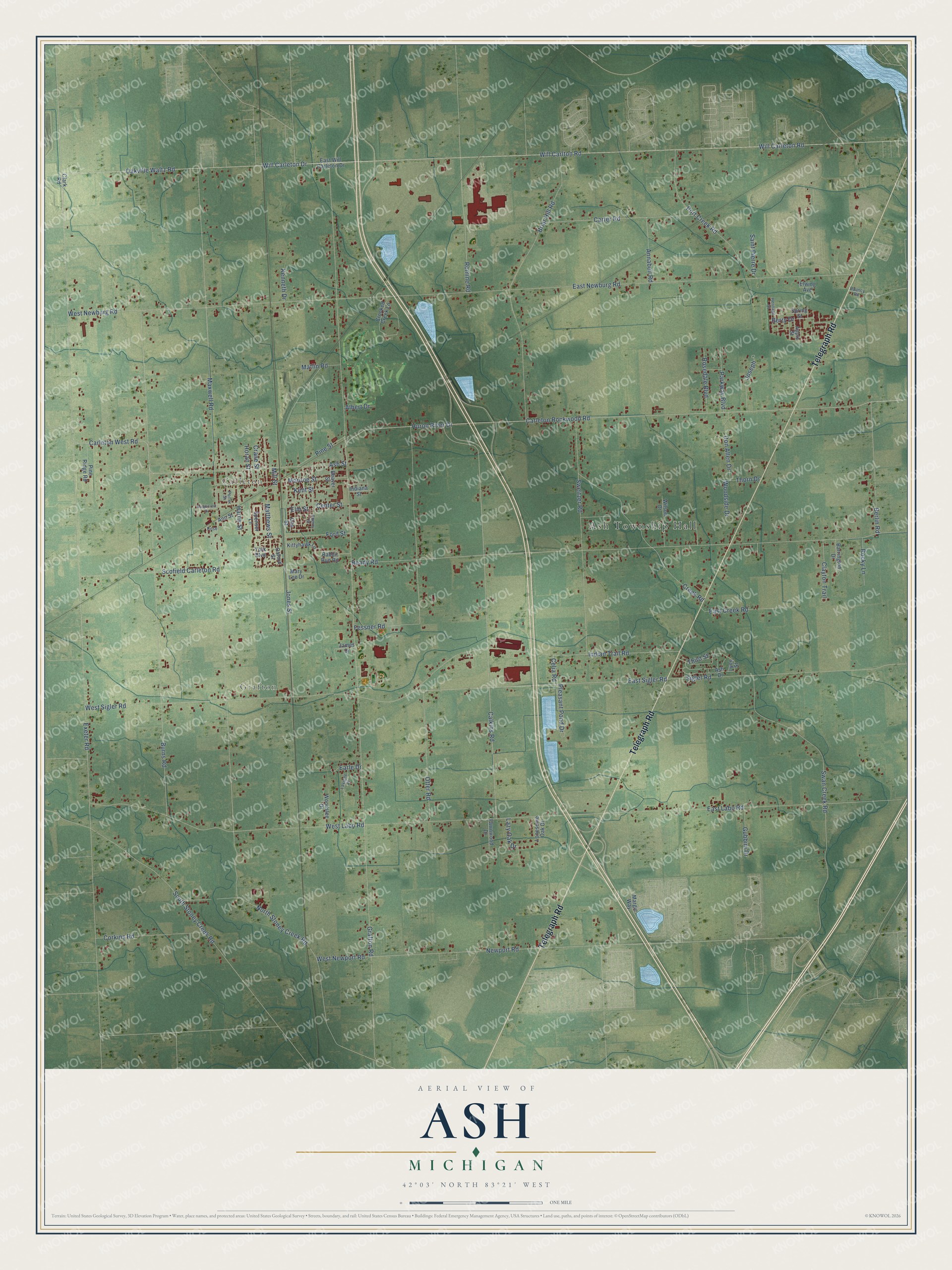
This beautifully detailed map of Ash, Michigan was created in 2026 using aerial imagery combined with modern topographical, census, street and landmark data. It's a modern aerial view of Ash in Monroe County, Michigan, that combines modern data with a vintage aesthetic. The roads feature printed names, and if you look closely you can find your exact house accurately shown in its correct location.
Explore an aerial view of Ash, Michigan
On this map you'll find Ash Township Hall, Grafton, Carleton, Telegraph Road, Will Carleton Drive, Oakville Waltz Road, Exeter Road, Carleton Rockwood Road, Will Carleton Road, Huron River Drive, Carleton West Road, East Sigler Road, and more. Each red shape is a building, so zoom in on the preview and look for yours.
Every town has a first chapter, and Ash is no exception. The record at arcgis.com puts it this way: "On March 17, 1847, they celebrated the dedicatory mass of their first church, which was built of logs donated by parishioners."
The Census Bureau counted 7,860 people here in 2020.
Take a closer look at the Ash map
Names on this map
These names are printed on this map.
Places: Ash Township Hall, Grafton and Carleton.
Streets and roads: Telegraph Road, Will Carleton Drive, Oakville Waltz Road, Exeter Road, Carleton Rockwood Road, Will Carleton Road, Huron River Drive, Carleton West Road, East Sigler Road, Newport Road, Grafton Road, Maxwell Road.
More street names, A to Z
Albert Drive, Annabell Road, Ann Street, Apple Street, Ash Drive, Ash Street, Barrington Drive, Beaver Street, Berlin Road, Berry Drive, Briar Hill Road, Burns Road, Calkins Road, Carter Road, Celia Road, Center Street, Cherry Street, Clark Road, Clayton Trail, Corkins Road, Crane Street, Creek Road, Crooked Creek Lane, Dauncy Road, Don Allen Drive, Earle Drive, East Creek Road, East Labo Road, East Newburg Road, East Will Carleton Drive, Elm Street, Elwing Avenue, Fawnwood Drive, Fessner Road, Ford Street, Gubbini Drive, Harris Street, Heritage Street, Horan Street, Indiana Street, Indian Trail Road, James Drive, Jones Street, Joseph, Kenneth Drive, Kent Street, Kittyhawk Lane, Lavigne Drive, Lazy Oak Drive, Lonesome Oak Drive, Lynn Street, Maplecrest Drive, Margie Way, Mary Lee Drive, Matlin Road, Matthews Street, Mill Street, Monroe Street, North Stoney Creek Road, Oak Street, Otter Road, Oxford Street, Parkway Boulevard, Pine Ridge Road, Pine Street, Pleasant Pond Drive, Port Creek Road, Porter Street, Rabbit Run Road, Ready Road, Rocky Lane, Romine Road, Rose, Rosedale Boulevard, Saint Pierre Drive, Scofield Carleton Road, Sigler Road, South Stoney Creek Road, Spenser Lane, Spring Street, Swan Creek Road, Sweitzer Road, Third Street, Thorn Drive, West Labo Road, West Newburg Road, West Newport Road, West Sigler Road, Will Carlton Road, Wilson Drive, Woodside Drive, Woodslee Drive, York Boulevard.
Created by KNOWOL in 2026. The buildings are small red shapes, the roads carry their printed names, and shaded relief shows the shape of the land. The title panel reads "AERIAL VIEW OF ASH, MICHIGAN" with 42°03' NORTH 83°21' WEST.
Hang it in the hallway, the office or the cabin, or give it to someone who left Ash and still calls it home. Open the preview and look for a street you know. See sizes and frames for the Ash map.