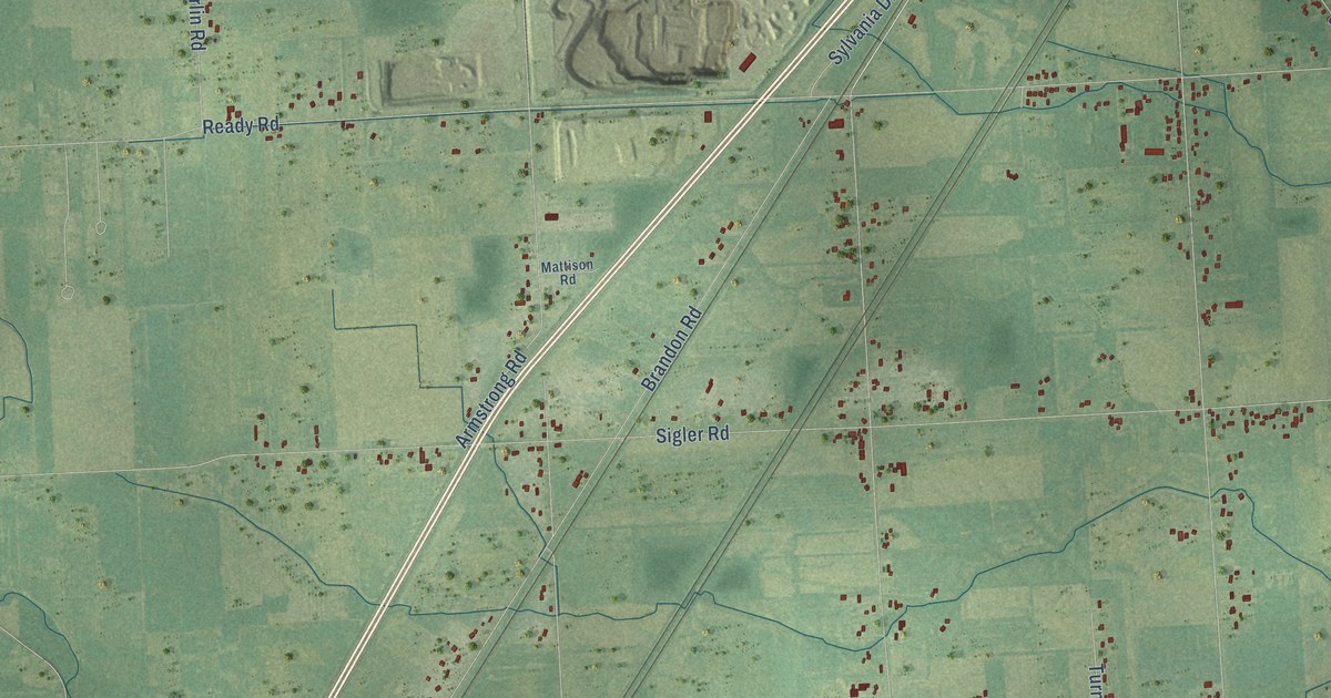
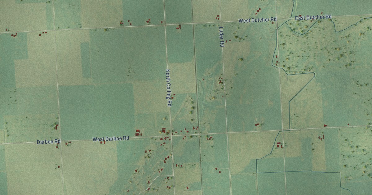
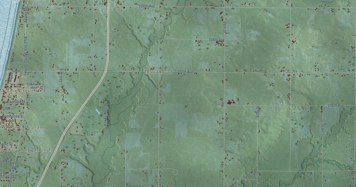
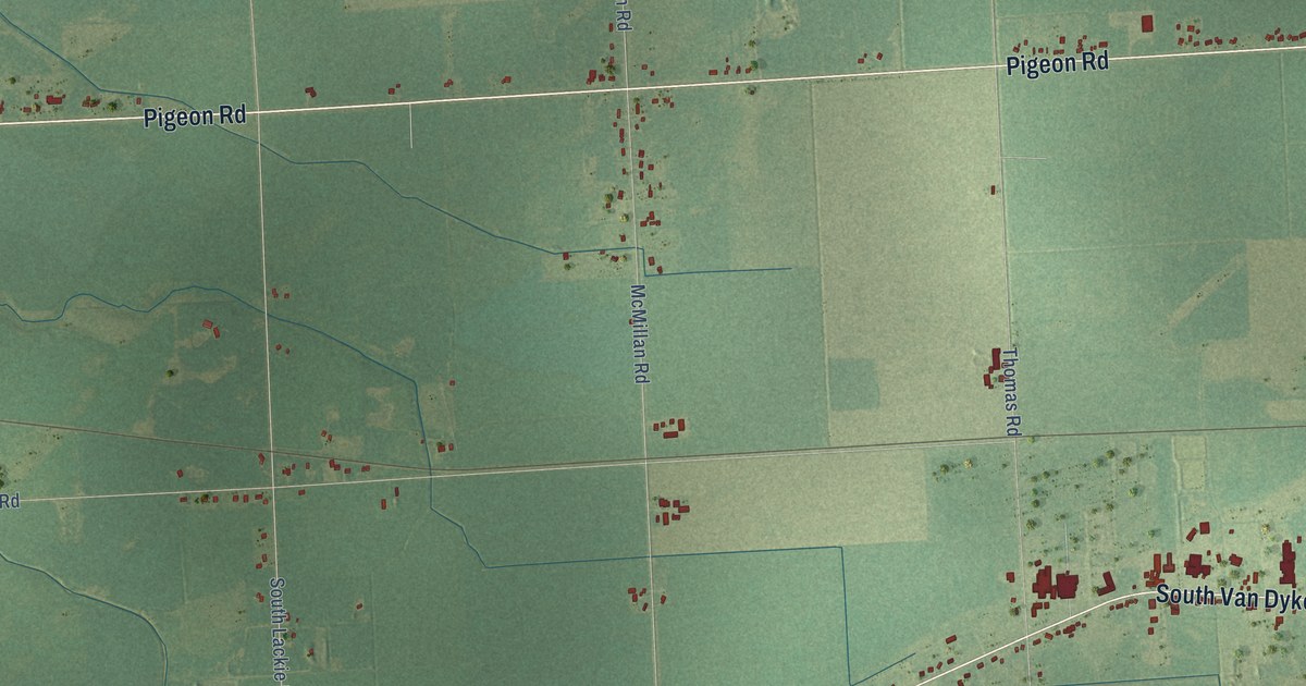
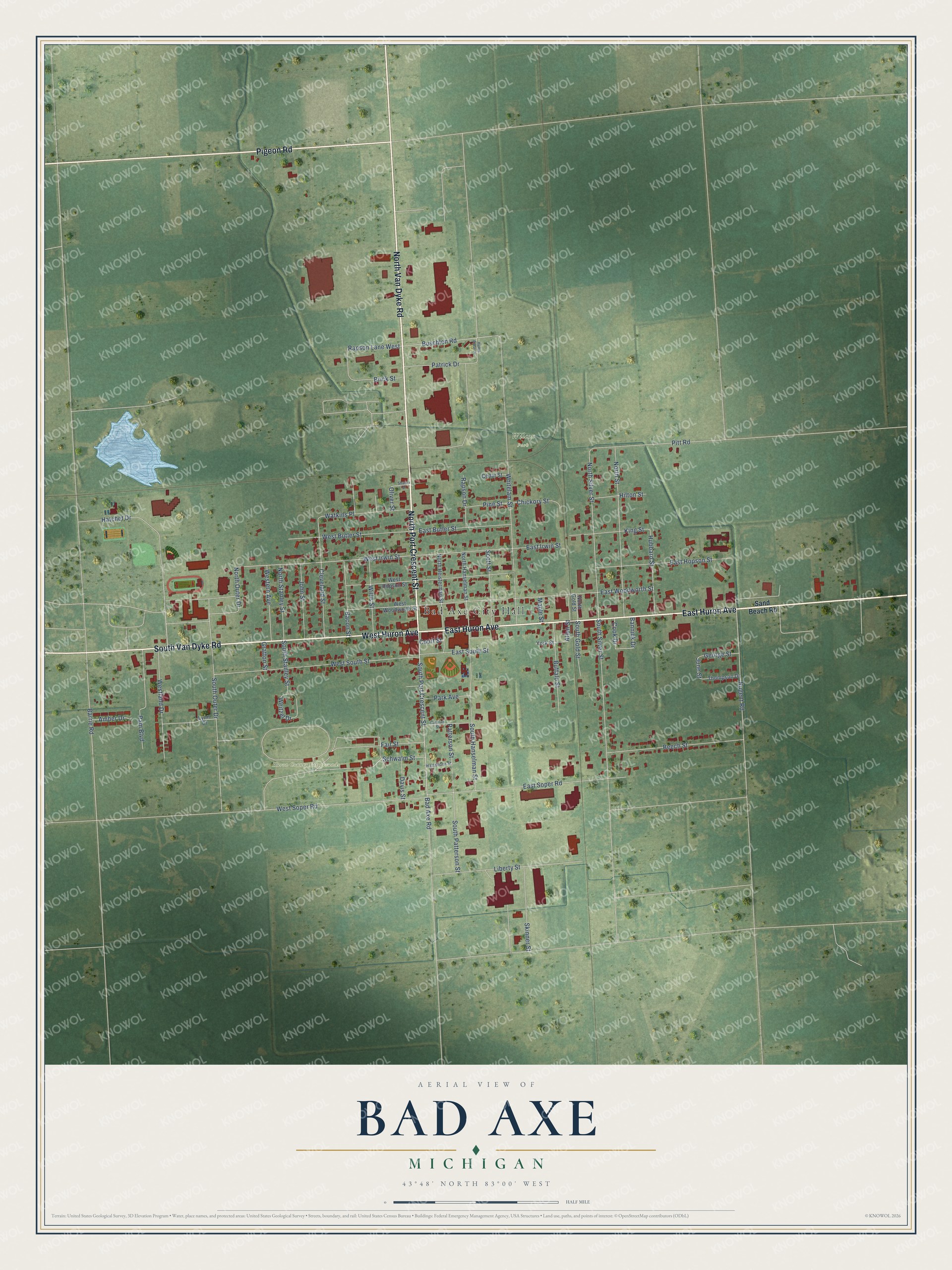
This beautifully detailed map of Bad Axe, Michigan was created in 2026 using aerial imagery combined with modern topographical, census, street and landmark data. It's a modern aerial view of Bad Axe in Huron County, Michigan, that combines modern data with a vintage aesthetic. The roads feature printed names, and if you look closely you can find your exact house accurately shown in its correct location.
Explore an aerial view of Bad Axe, Michigan
On this map you'll find Bad Axe City Hall, Huron County Fairgrounds, Wilcox Park, East Huron Avenue, North Van Dyke Road, North Port Crescent Street, South Van Dyke Road, Pigeon Road, West Huron Avenue, South Port Crescent Street, West Irwin Street, North Outer Drive, and more. Each red shape is a building, so zoom in on the preview and look for yours.
Every town has a first chapter, and Bad Axe is no exception. The Pioneer History of Huron County puts it this way: "Some Catholic families settled in Verona long before the village of Bad Axe was founded, but for many years they had no place of worship."
Bad Axe is a city in Huron County. The Census Bureau counted 3,021 people here in 2020.
Take a closer look at the Bad Axe map
Names on this map
These names are printed on this map.
Places: Bad Axe City Hall, Huron County Fairgrounds and Wilcox Park.
Streets and roads: East Huron Avenue, North Van Dyke Road, North Port Crescent Street, South Van Dyke Road, Pigeon Road, West Huron Avenue, South Port Crescent Street, West Irwin Street, North Outer Drive, Buschlen Road, Rapson Lane West, North Silver Street.
More street names, A to Z
Allen Street, Amber Drive, Bacon Street, Bad Axe Road, Bannick Drive, Barrie Road, Beech Street, Brick Street, Buffalo Street, Carolan Street, Cedar Street, Chickory Street, Cleveland Street, Cook Drive, Court Street, Davis Street, East Butler Street, East Hopson Street, East Irwin Street, East Soper Road, East South Street, East Woodworth Street, Fair Street, George Street, Gratton Street, Hartshorn Street, Hatchet Drive, Hilton Street, Hubbard Street, Huron Crest Drive, John Street, June Street, King Street, Liberty Street, Lynn Court, Maple Street, North Gold Street, North Hanselman Street, North Heisterman Street, North Stanley Street, North Street, Nugent Road, Oliver Street, Pam Boulevard, Park Avenue, Patrick Drive, Patterson Street, Pine Street, Pitt Road, Rapson Drive, Sand Beach Road, Schwalm Street, Scott Street, Sharon Drive, Skinner Street, South Gold Street, South Hanselman Street, South Outer Drive, South Patterson Street, South Silver Street, South Stanley Street, Thompson Drive, Watkins Place, Weitzel Drive, West Butler Street, Western Avenue, West Hopson Street, Westland Drive, West Soper Road, West South Street, West Woodworth Street, Whitelam Street, Willis Street, York Street.
Created by KNOWOL in 2026. The buildings are small red shapes, the roads carry their printed names, and shaded relief shows the shape of the land. The title panel reads "AERIAL VIEW OF BAD AXE, MICHIGAN" with 43°48' NORTH 83°00' WEST.
Hang it in the hallway, the office or the cabin, or give it to someone who left Bad Axe and still calls it home. Open the preview and look for a street you know. See sizes and frames for the Bad Axe map.