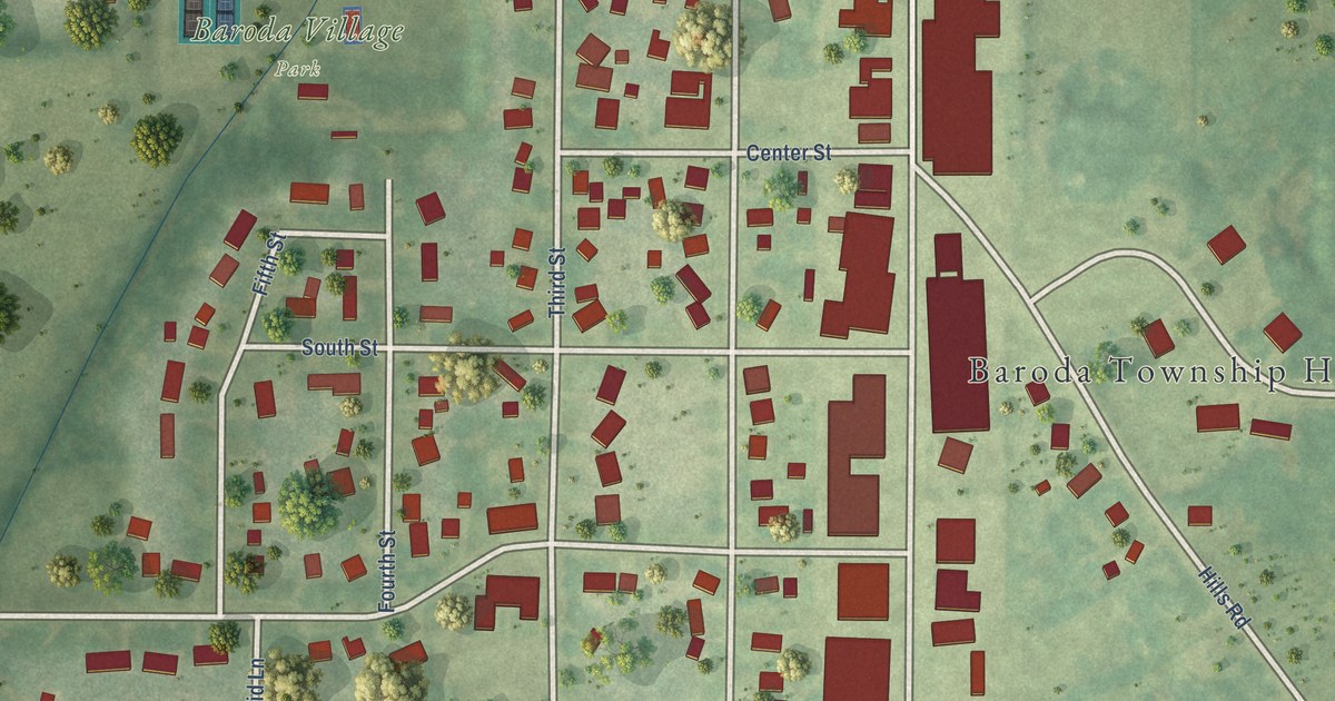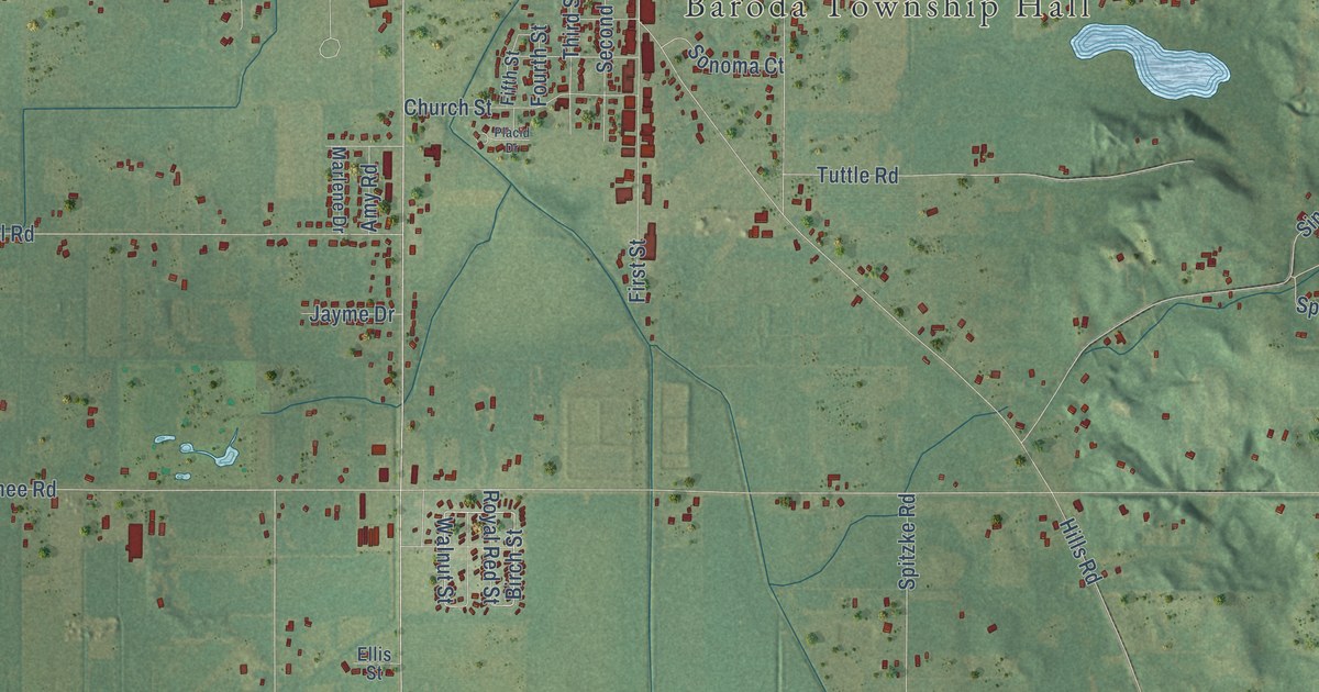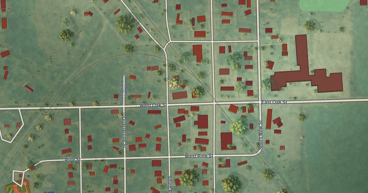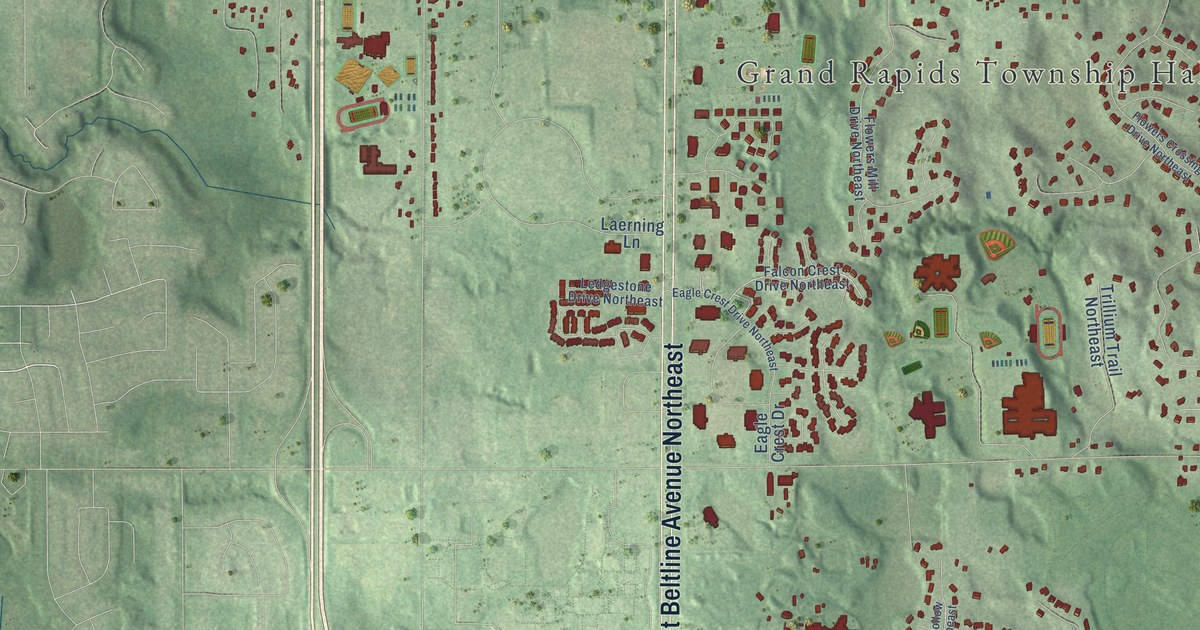
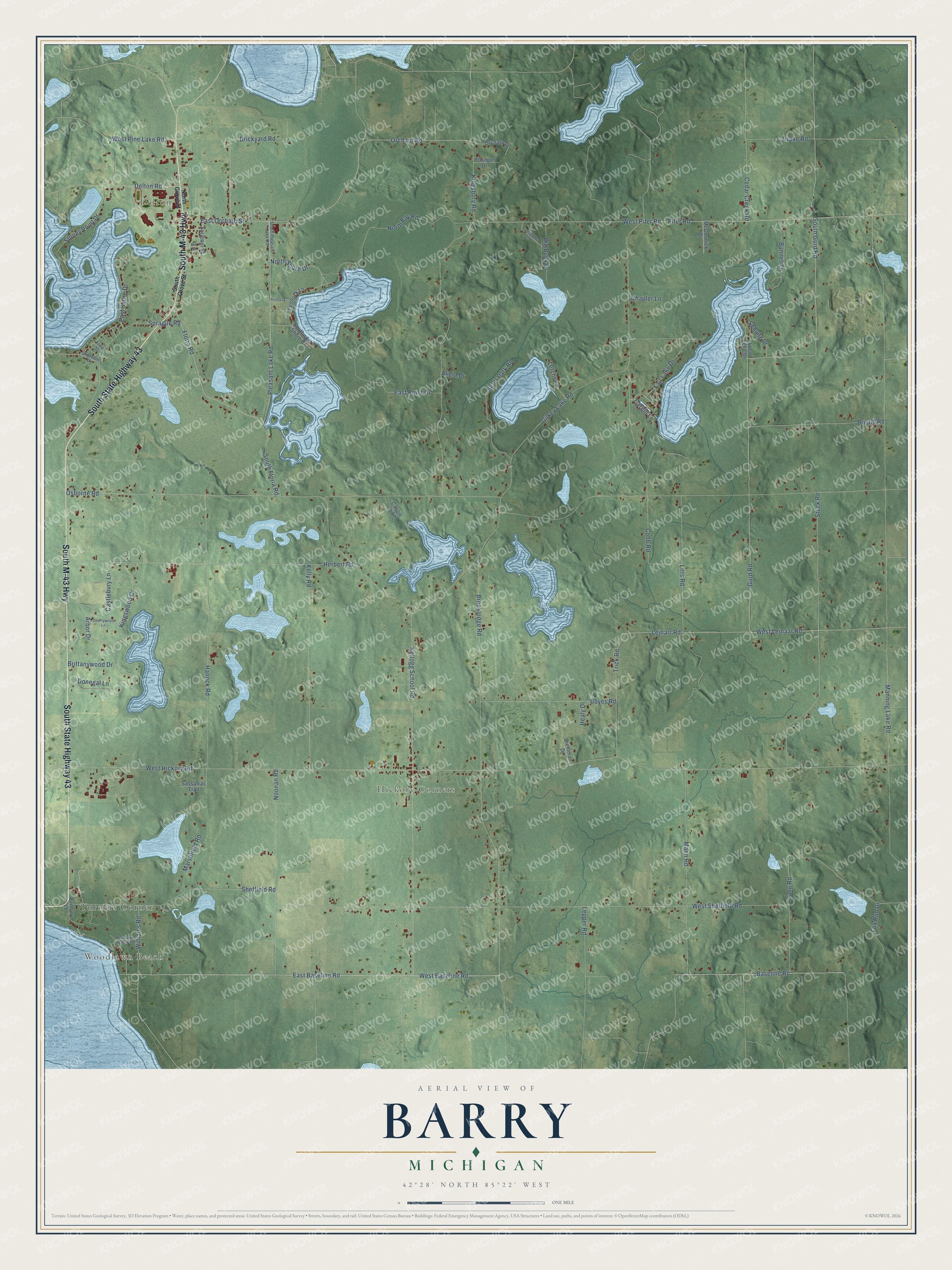
This beautifully detailed map of Barry, Michigan was created in 2026 using aerial imagery combined with modern topographical, census, street and landmark data. It's a modern aerial view of Barry in Barry County, Michigan, that combines modern data with a vintage aesthetic. The roads feature printed names, and if you look closely you can find your exact house accurately shown in its correct location.
Explore an aerial view of Barry, Michigan
On this map you'll find Woodlawn Beach, Delton, Hickory Corners, Turners Corner, South State Highway 43, South M-43 Highway, Pleasant Lake Road, Floria Road, North Shore Drive, East Orchard Street, Orchard Road, West Baseline Road, and more. Each red shape is a building, so zoom in on the preview and look for yours.
Here is a piece of Barry history, in the words of the record. The History of Allegan and Barry Counties puts it this way: "By an act of the Legislature of the State of Michigan passed in March, 1836, the township of Barry was formed, comprising the whole territory of Barry County."
The Census Bureau counted 3,417 people here in 2020.
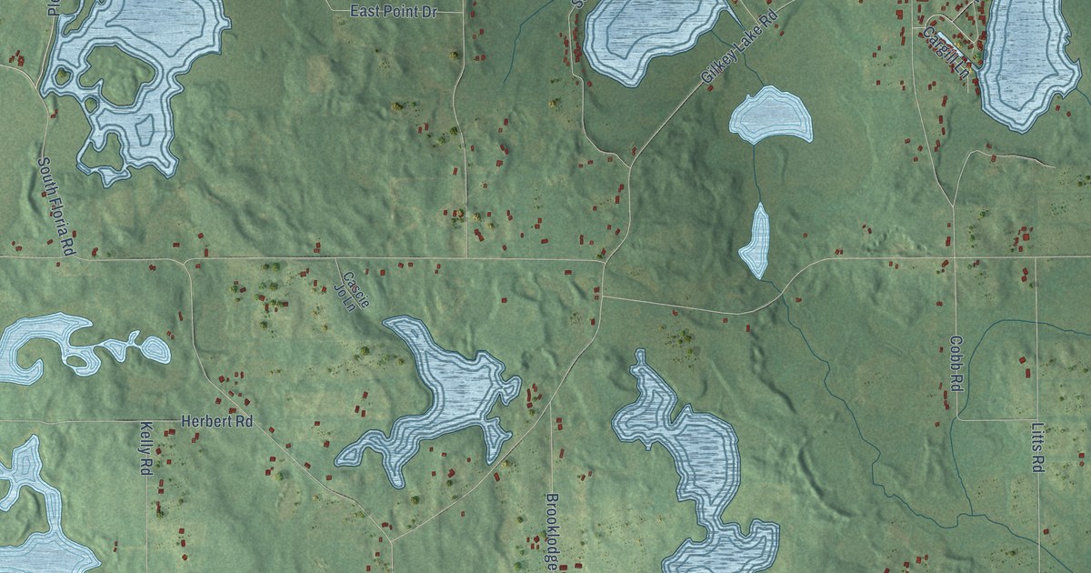
Take a closer look at the Barry map
Names on this map
These names are printed on this map.
Places: Woodlawn Beach, Delton, Hickory Corners and Turners Corner.
Streets and roads: South State Highway 43, South M-43 Highway, Pleasant Lake Road, Floria Road, North Shore Drive, East Orchard Street, Orchard Road, West Baseline Road, Arbor Drive, East Shore Drive, Donegal Lane, Osborne Road.
More street names, A to Z
Alicia Drive, Baseline Road, Big Buck Drive, Boyes Road, Brickyard Road, Bristol Road, Brittanywood Drive, Brooklodge Road, Bunbury Lane, Bunnell Drive, Cargill Lane, Cascie Jo Lane, Castlebury Lane, Cedar Creek Road, Chapler Lane, Cherrywood Lane, Christopher Lane, Cobb Road, Delton Road, Diehlman Drive, Drake Road, East Baseline Road, East Point Drive, Fair Lake Drive, Fox Run Drive, Gilkey Lake Road, Gurd Road, Hallock Road, Healy Drive, Herbert Road, Kellogg School Road, Kelly Road, Kingsbury Road, Kingswood Drive, Kline Street, Lang Road, Leinarr Road, Lepper Road, Letchs Lane, Litts Road, Loon Echo Drive, Manning Lake Road, Mann Road, Marshfield Road, McCormick Drive, Mill Street, Noonan Road, North Bay Road, North Grove Street, Orchard Drive, Pennock, Pennock Lane, Pifer Road, Sassafras Trail, Schultz Drive, Scott Park Road, Scribner Street, Sheffield Road, Shoreline Drive, South Floria Road, South Grove Street, South Gurd Road, South Pleasant Lake Road, Southwest Shore Drive, Sprague Road, Stoney Point Drive, Stuck Road, Trick Road, West Hickory Road, West Leinaar Road, West Pifer Road, West Pine Lake Road, West Sheffield Road, Williams Road, Woodlawn Beach Road, Younger Drive.
Created by KNOWOL in 2026. The buildings are small red shapes, the roads carry their printed names, and shaded relief shows the shape of the land. The title panel reads "AERIAL VIEW OF BARRY, MICHIGAN" with 42°28' NORTH 85°22' WEST.
It suits a den, a classroom or a front hall, and it makes a gift for anyone with Barry roots. Open the preview and find the block you know. See sizes and frames for the Barry map.