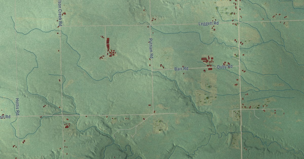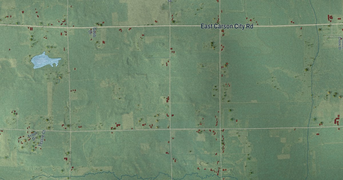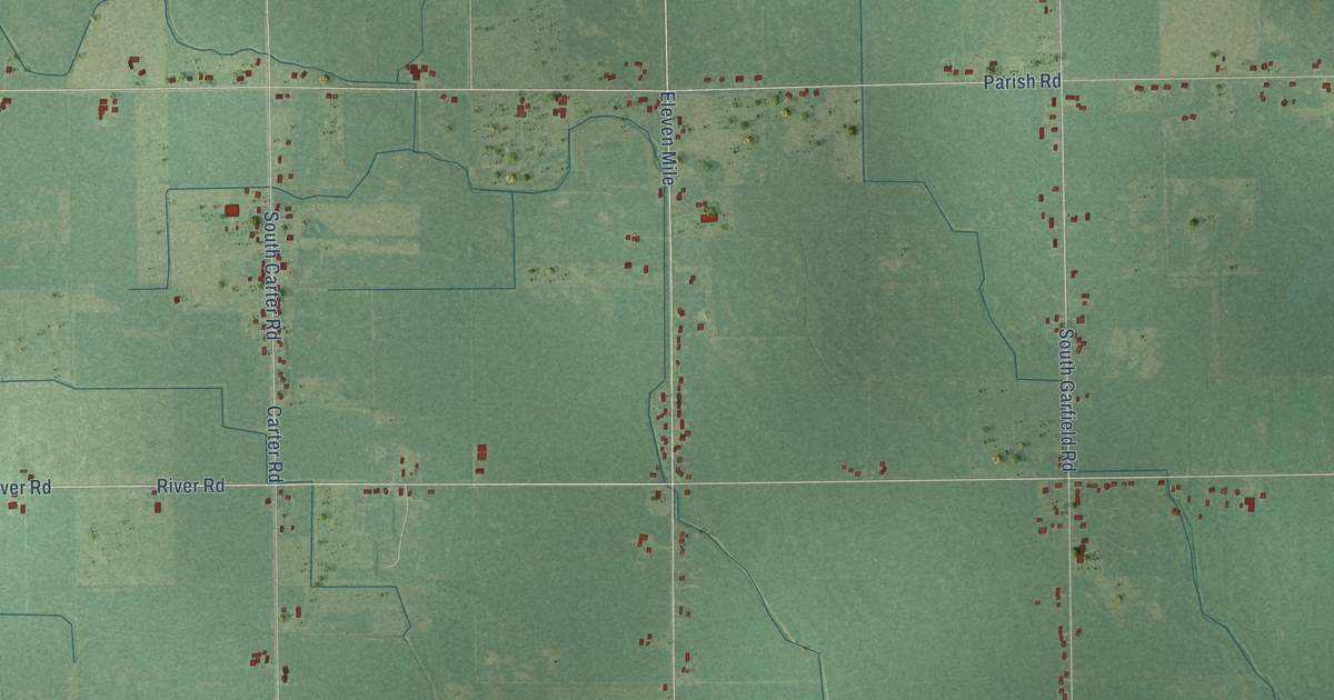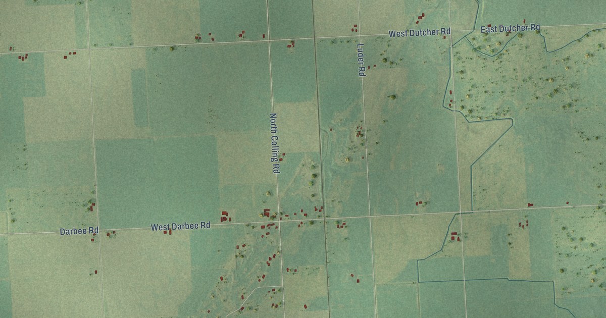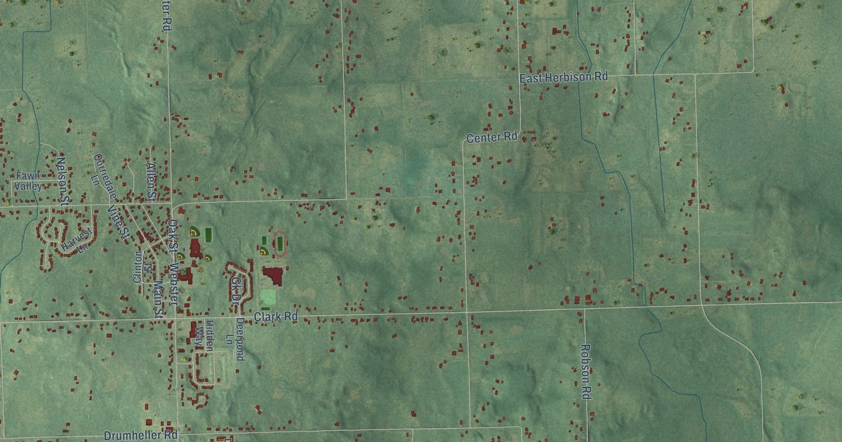
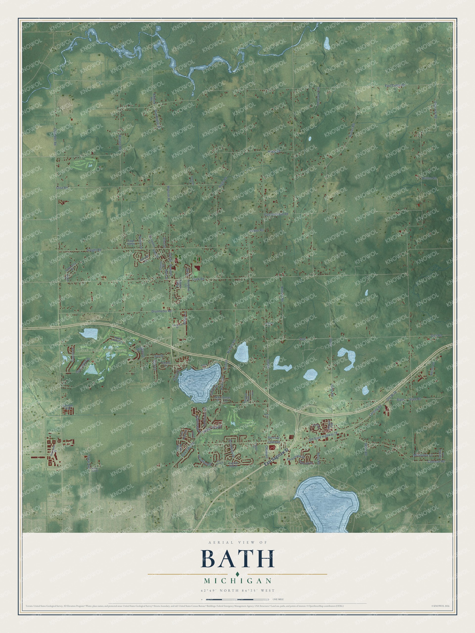
This beautifully detailed map of Bath, Michigan was created in 2026 using aerial imagery combined with modern topographical, census, street and landmark data. It's a modern aerial view of Bath in Clinton County, Michigan, that combines modern data with a vintage aesthetic. The roads feature printed names, and if you look closely you can find your exact house accurately shown in its correct location.
Explore an aerial view of Bath, Michigan
On this map you'll find Hawk Hollow Golf Course, East Saginaw Street, Old M-78, Lansing Road, Old State Highway 78, Perry Road, Center Road, Coleman Road, State, State Road, Park Lake Road, Hunter Road, and more. Each red shape is a building, so zoom in on the preview and look for yours.
Bath has a story worth telling. The History of Shiawassee and Clinton Counties puts it this way: "The honor of being the first settler in Bath is accorded to Ira Cushman, who came to the township and entered a part of section 19 in 1836. In February, 1837, he brought his family and commenced the first improvement."
The Census Bureau counted 13,292 people here in 2020.
Take a closer look at the Bath map
Names on this map
These names are printed on this map.
Places: Hawk Hollow Golf Course and Park Lake.
Streets and roads: East Saginaw Street, Old M-78, Lansing Road, Old State Highway 78, Perry Road, Center Road, Coleman Road, State, State Road, Park Lake Road, Hunter Road, Center.
More street names, A to Z
Abbey Lane, Allen Street, Angle Road, Ann Drive, Ashbrook Drive, Austin Way, Babcock Road, Bergen Avenue, Britton Road, Broadview Drive, Burdick's Lane, Canterbury Trail, Chadwell, Chadwell Road, Chandler Road, Clark Road, Classic Drive, Clinton Street, Clise Road, Club Course Drive, Coleman, Corriedale Lane, County Line Road, Culver Drive, Cynthia Lane, Davis Lane, Deerpath Drive, Deerpond Lane, Drumheller Road, Dunmaglas Drive, East Cutler Road, East Herbison Road, English Oak Drive, Fawn Valley, Forestview Drive, Gary Lane, Geoffery Lane, Gk Drive, Hamersley Drive, Harvest Lane, Hawk Hollow Drive, Heathfield Drive, Hidden Way, Hilltop Court, Howe Road, Hunsaker Street, Lapham Drive, Lattice Lane, Main Street, Missaukee Lane, Mulligan Drive, Nector Lane, Nelson Street, Nichols, Nichols Road, Oak Street, Ocha Drive, Outer Drive, Pastoral Path, Peacock Road, Pilgrimage Place, Pine Hollow Drive, Robson Road, Shore Road, Sleight Road, Somerset Drive, Springer Way, Stanke Drive, Stoll, Stoll Road, Sunset Lane, Tamarack Trail, Timber View Drive, Timothy Lane, Towar Avenue, Tres Beau Lane, Upton, Upton Road, Vine Street, Watson Road, Webster, Webster Road, Zuiderzee.
Created by KNOWOL in 2026. The buildings are small red shapes, the roads carry their printed names, and shaded relief shows the shape of the land. The title panel reads "AERIAL VIEW OF BATH, MICHIGAN" with 42°49' NORTH 84°25' WEST.
It looks right in a kitchen, an office or a den, and it's a gift for anyone who grew up in Bath or moved away. Open the preview and find your street. See sizes and frames for the Bath map.