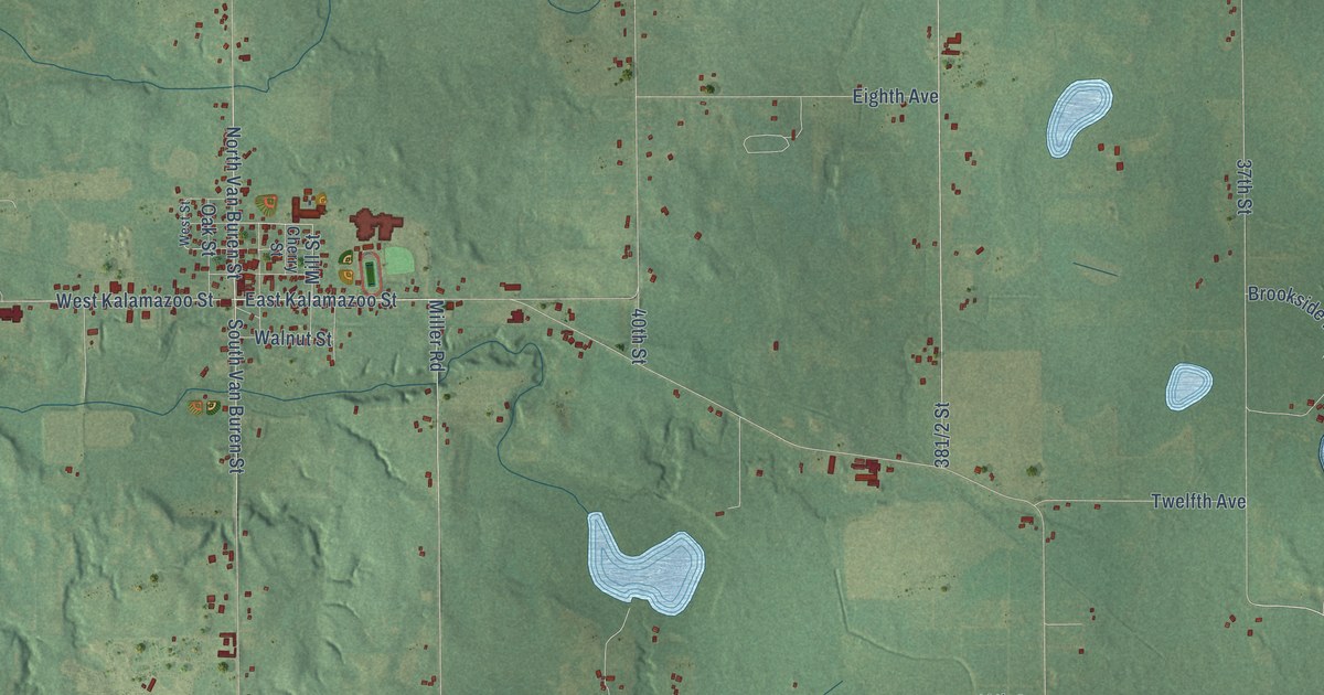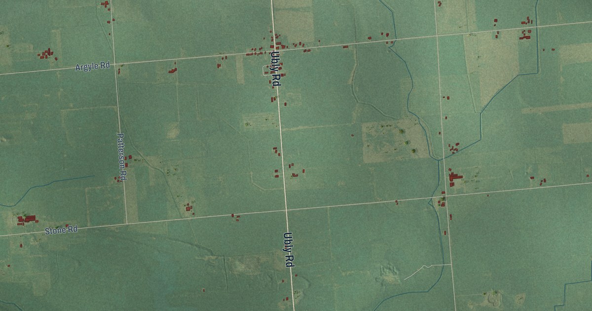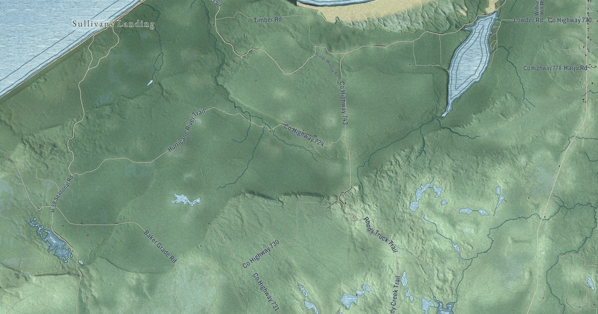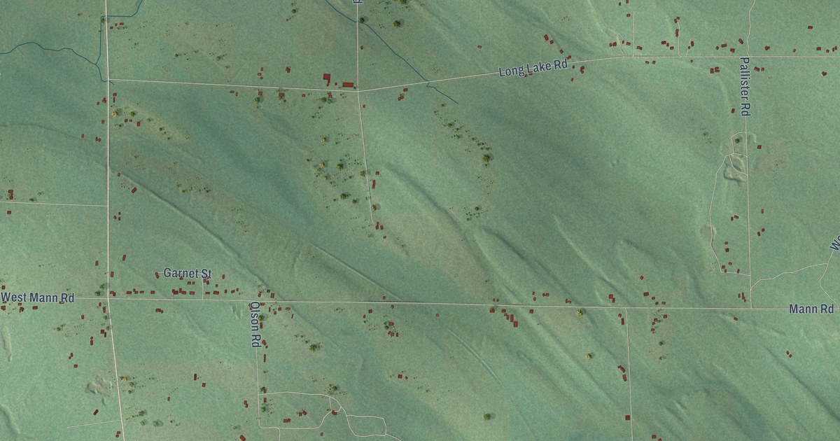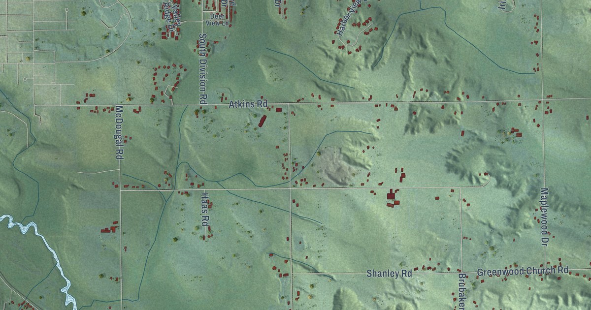
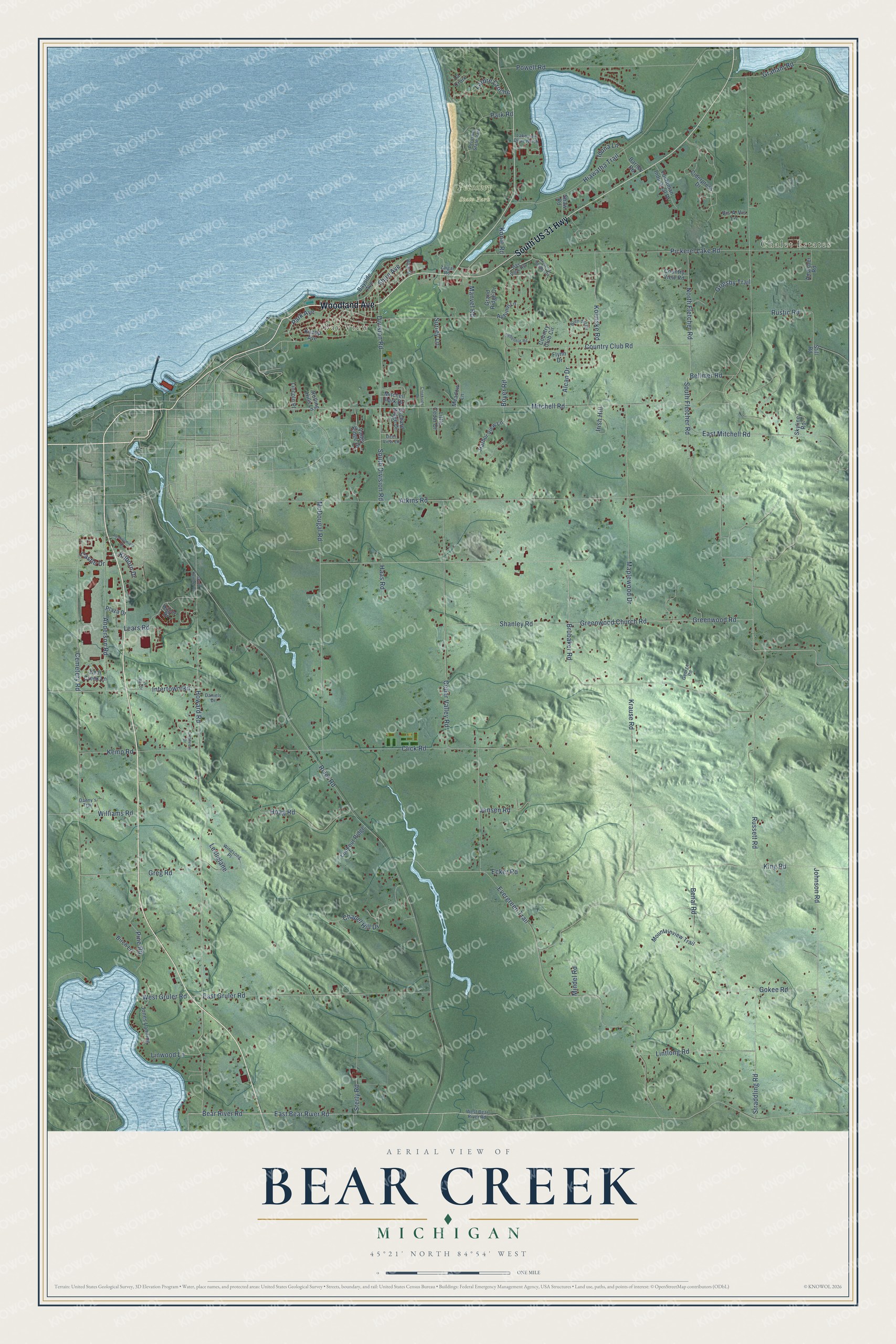
This beautifully detailed map of Bear Creek, Michigan was created in 2026 using aerial imagery combined with modern topographical, census, street and landmark data. It's a modern aerial view of Bear Creek in Emmet County, Michigan, that combines modern data with a vintage aesthetic. The roads feature printed names, and if you look closely you can find your exact house accurately shown in its correct location.
Explore an aerial view of Bear Creek, Michigan
On this map you'll find Chalet Estates, Bay View, Petoskey State Park, Woodland Avenue, South US 31 Highway, Mitchell Road, Bear River Road, Howard Road, East Bear River Road, Shire Avenue, Division Road, Evergreen Trail, and more. Each red shape is a building, so zoom in on the preview and look for yours.
Every town has a first chapter, and Bear Creek is no exception. The Traverse Region puts it this way: "The early history of Bear Creek is almost entirely confined to matters connected with the Presbyterian mission, which was established in the year 1852. The name Bear Creek is applied to the region in the vicinity of the mouth of the stream known by that name."
The Census Bureau counted 6,542 people here in 2020.
Take a closer look at the Bear Creek map
Names on this map
These names are printed on this map.
Places: Chalet Estates, Bay View and Petoskey State Park.
Streets and roads: Woodland Avenue, South US 31 Highway, Mitchell Road, Bear River Road, Howard Road, East Bear River Road, Shire Avenue, Division Road, Evergreen Trail, Greenwood Road, River Road, Greenwood Church Road.
More street names, A to Z
Alcan Drive, Amacher Road, Anderson Road, Atkins Road, Autumn Lane, Barney Road, Bayside Avenue, Bay View Heights, Bear Creek Lane, Bellmer Road, Benal Road, Birch Lane, Boyer Road, Bren del Drive, Brubaker Road, Castle Drive, Cedar Valley Road, Cemetery Road, Chapel Hill Drive, Ciderpress Drive, Click Road, Country Club Circle, Country Club Road, Country View Road, Creekside Drive, Crestview Drive, Daniels Drive, Danny's Trail, Deer View Lane, East Gruler Road, East Mitchell Road, Ecker Road, Flynn Drive, Fochtman Industrial Drive, George Road, Gokee Road, Graham Road, Grand Ridge Drive, Greg Road, Grigsby Trail, Haas Road, Hager Drive, Harbor View Lane, Hiawatha Trail, Hoag Road, Iduna Lane, Intertown Road, Irish Hill, Jensen Road, Johnson Road, Jones Landing, Kemp Road, Kilborn Drive, King Road, Knapp Avenue, Kolinske Road, Konle Road, Krause Road, Lachaumiere Drive, La Croix, Lakeside Drive North, Larbre Croche, Lears Road, Le Roi Drive, Leslielane, Lincoln Place, Lintlong Road, Linwood Lane, Little Cedar Drive, Lookout Ridge, Manvel Road, Maplewood Drive, McDougal Road, Meadow Lane, Mindel Road, Mitchell Park Drive, Mountainview Trail, North Fletcher Road, Orchard Ridge Drive, Park Avenue, Park Road, Pickerel Lake Road, Pine Road, Plaza Drive, Powell Road, Rice Street, Rolling Hills Lane, Russett Road, Rustic Road, Shanley Road, Shaw Road, Siebenhar Road, Skyline Road, South Division Road, South Fletcher Road, South Howard Road, Sterly Road, Still Road, Straddling Road, Surrey Lane, Traverse Heights Drive, Valley Ridge Drive, Vis-A-Vis Lane, West Bear River Road, West Gruler Road, Williams Road, Windsong Place, Zaigar Road.
Created by KNOWOL in 2026. The buildings are small red shapes, the roads carry their printed names, and shaded relief shows the shape of the land. The title panel reads "AERIAL VIEW OF BEAR CREEK, MICHIGAN" with 45°21' NORTH 84°54' WEST.
Hang it in the hallway, the office or the cabin, or give it to someone who left Bear Creek and still calls it home. Open the preview and look for a street you know. See sizes and frames for the Bear Creek map.