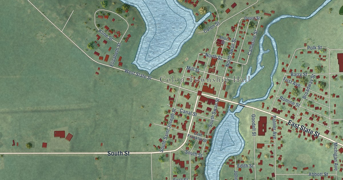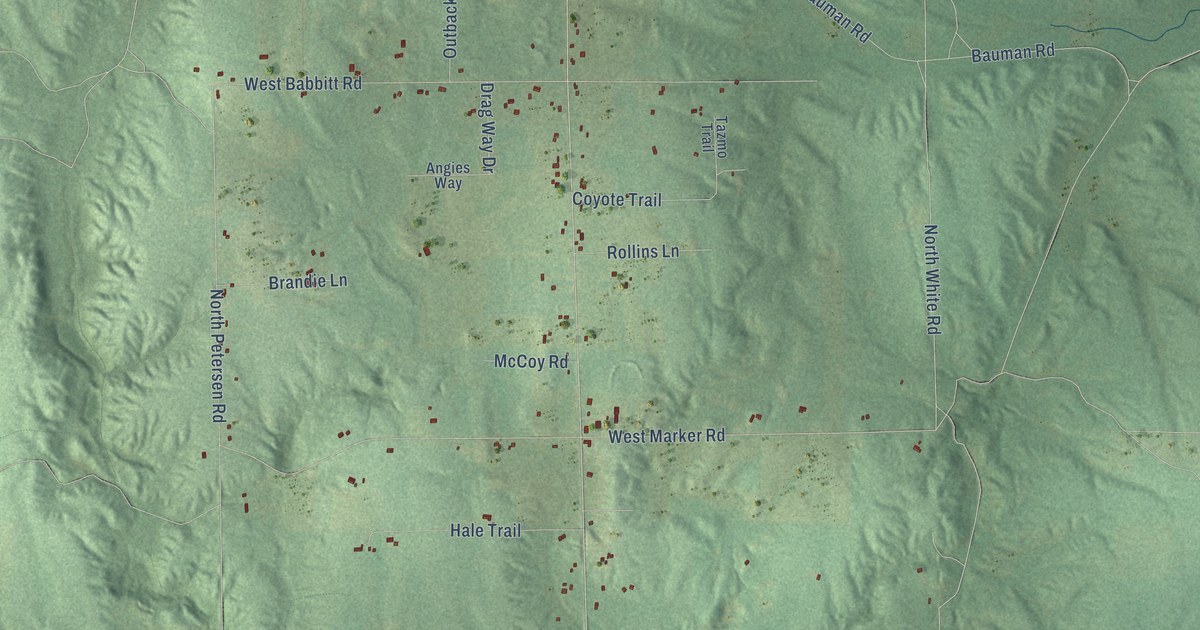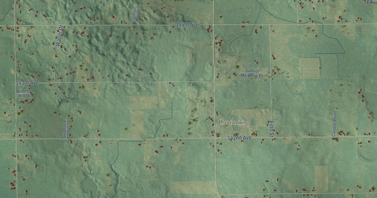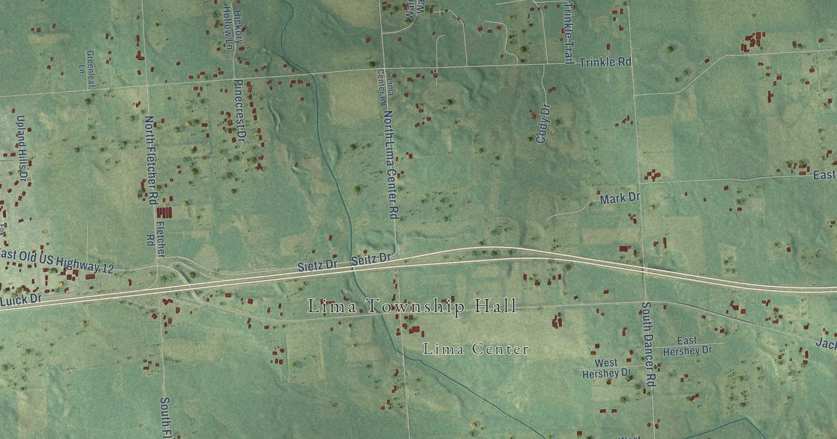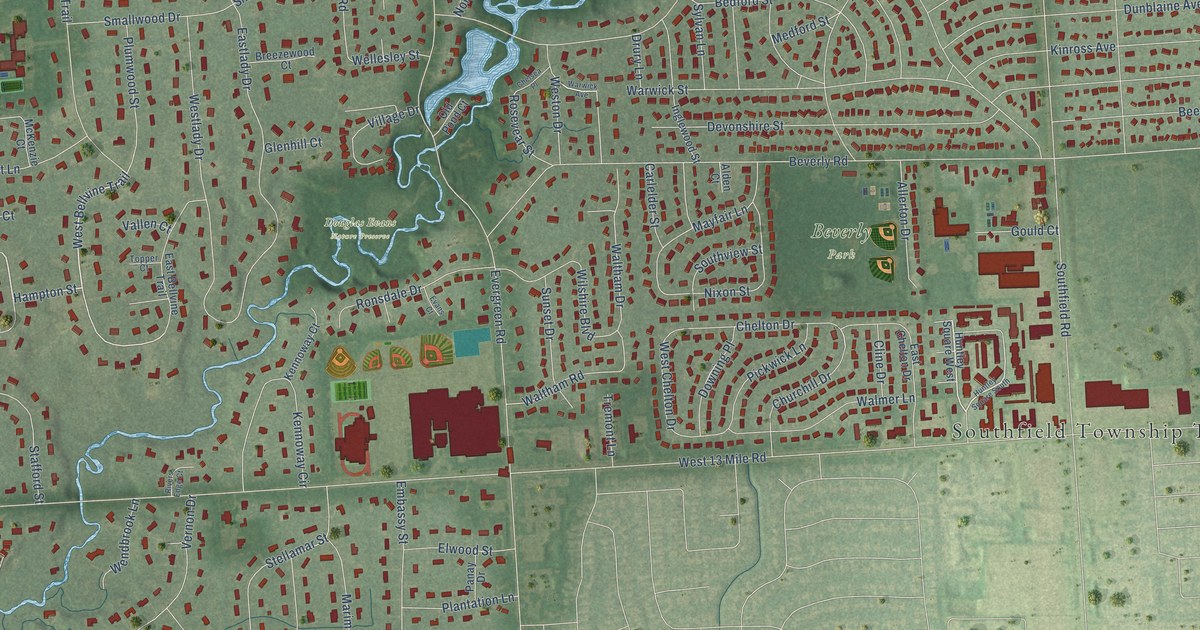
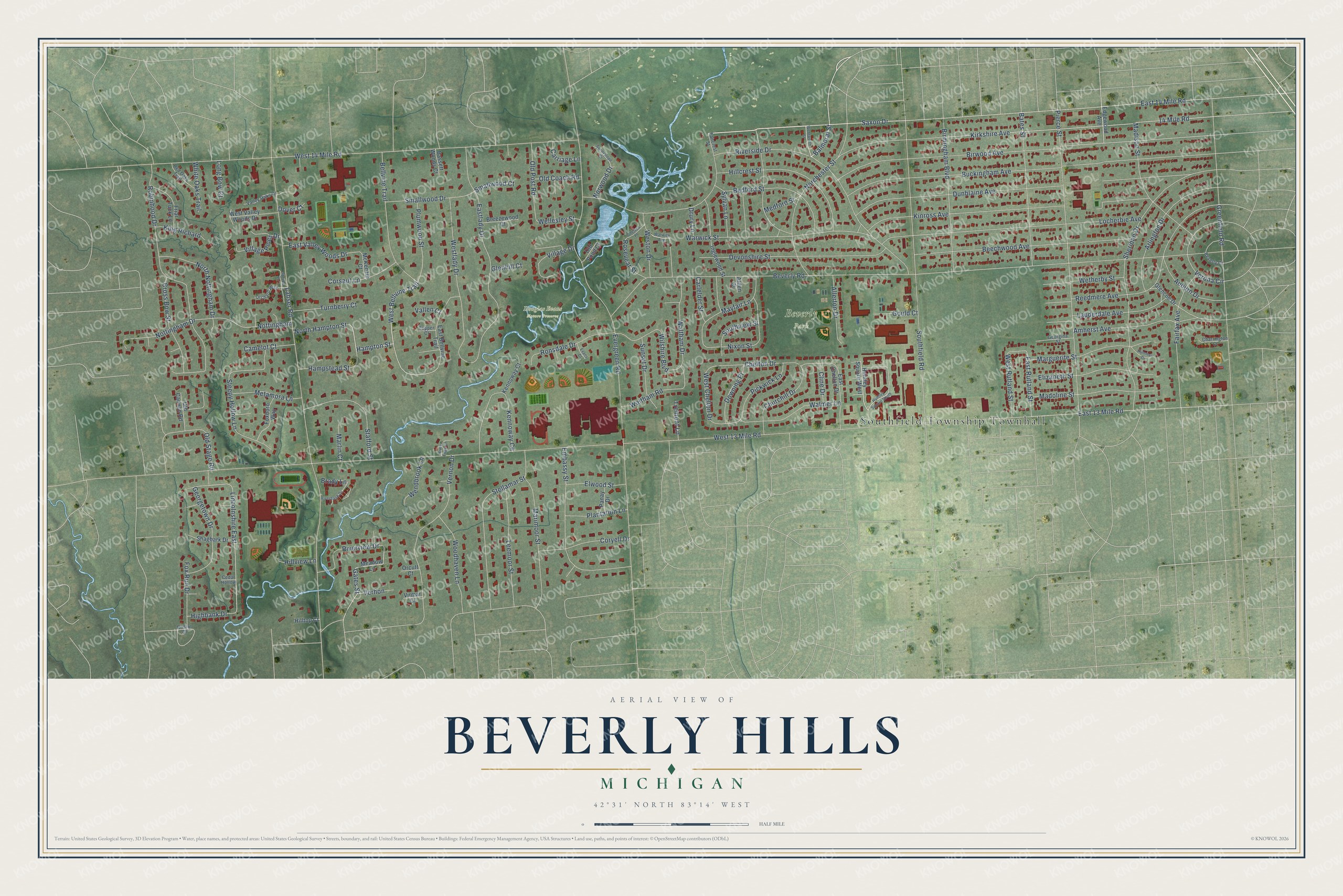
This beautifully detailed map of Beverly Hills, Michigan was created in 2026 using aerial imagery combined with modern topographical, census, street and landmark data. It's a modern aerial view of Beverly Hills in Oakland County, Michigan, that combines modern data with a vintage aesthetic. The roads feature printed names, and if you look closely you can find your exact house accurately shown in its correct location.
Explore an aerial view of Beverly Hills, Michigan
On this map you'll find Southfield Township Townhall, Beverly Park, Douglas Evans Nature Preserve, West 14 Mile Road, Balmoral Street, Saxon Drive, West Bellvine Trail, Hampton Street, Gates Street, Bellvine Trail, Lincolnshire East, Birwood Avenue, and more. Each red shape is a building, so zoom in on the preview and look for yours.
Every town has a first chapter, and Beverly Hills is no exception. The Southfield Township puts it this way: "Finally, the Village of Westwood was incorporated in April 1958, and shortly thereafter changed its name to the Village of Beverly Hills."
Beverly Hills is a village in Oakland County. The Census Bureau counted 10,584 people here in 2020.
Take a closer look at the Beverly Hills map
Names on this map
These names are printed on this map.
Places: Southfield Township Townhall, Beverly Park and Douglas Evans Nature Preserve.
Streets and roads: West 14 Mile Road, Balmoral Street, Saxon Drive, West Bellvine Trail, Hampton Street, Gates Street, Bellvine Trail, Lincolnshire East, Birwood Avenue, East Rutland Street, West 13 Mile Road, Beverly Road.
More street names, A to Z
14 Mile Road, Alden Court, Allerton Drive, Amherst Avenue, Arlington Drive, Auburn Drive, Bassett Woods Court, Bates Street, Bedford Street, Beechwood Avenue, Beverly Court, Birmingham Boulevard, Brady Lane, Breezewood Court, Bristol Court, Buckingham Avenue, Camelot Court, Carlelder Street, Carriage Lane, Cedar Hollow, Charrington Court, Chelsea Place, Chelton Drive, Churchill Drive, Cline Drive, Corsaut Lane, Coryell Drive, Cross Bow Street, Devonshire Street, Dover Court, Downing Place, Drury Lane, Dunblaine Avenue, East 13 Mile Road, East 14 Mile Road, East Bellvine Trail, East Chelton Drive, Eastlady Drive, East Valley Woods Drive, Edgewood Avenue, Elizabeth Street, Elwood Street, Embassy Street, Evans Court, Evergreen Road, Faircrest Street, Fairfax Avenue, Foxboro Way, Fox Run Drive, Friar Tuck Lane, Georgetown Drive, Georgina Street, Glencoe Drive, Glenhill Court, Gould Court, Greenfield Road, Hampstead Street, Highbank Drive, Hillcrest Street, Hilltop Court, Hillview Lane, Hummel Drive, Huntley Square South, Huntley Square West, Inglewood Street, Kennoway Circle, Kennoway Court, King Richard, Kinross Avenue, Kirkshire Avenue, Lahser Road, Lauderdale Avenue, Leemoor Street, Locherbie Avenue, Long Bow Court, Madison Street, Madoline Street, Marguerite Street, Marimoor Street, Marlin Court, Mayfair Lane, McKenzie Court, Meadow Lane, Medford Street, Metamora Lane, Nixon Street, Norchester Street, North Hampton Street, North Nottingham Drive, Norwood Drive, Nottingham, Nottingham Drive, Old Cannon Road, Old Coach Road, Old Pond Court, Old Post Road, Old Stage Road, Orchard Way, Orcutt Court, Panay Drive, Pickwick Lane, Pierce Street, Plantation Lane, Plumwood Street, Red Oaks Trail, Reedmere Avenue, Riverbank Drive, Rivers Edge Court, Riverside Drive, Riverview Drive, Robinhood Drive, Ronsdale Drive, Rosevear Street, Shagbark Drive, Sheridan Drive, Sleepy Hollow Lane, Smallwood Court, Smallwood Drive, Southfield Road, Southview Street, Spruce Lane, Stafford Street, Stellamar Street, Sunnyslope Drive, Sunset Drive, Sylvan Lane, Topper Court, Tremont Lane, Turnberry Court, Vallen Court, Valley Oaks Drive, Verhon, Vernon Drive, Verona Circle, Village Drive, Village Pines Drive, Virmar Court, Walmer Lane, Waltham Drive, Waltham Road, Warwick Avenue, Warwick Street, Wellesley Street, Wendbrook Lane, Wentworth Street, West Chelton Drive, Westlady Drive, Weston Drive, West Rutland Street, West Valley Woods Drive, Wetherby Street, White Oaks Trail, Wilshire Boulevard, Woodhaven Lane.
Created by KNOWOL in 2026. The buildings are small red shapes, the roads carry their printed names, and shaded relief shows the shape of the land. The title panel reads "AERIAL VIEW OF BEVERLY HILLS, MICHIGAN" with 42°31' NORTH 83°14' WEST.
Hang it in the hallway, the office or the cabin, or give it to someone who left Beverly Hills and still calls it home. Open the preview and look for a street you know. See sizes and frames for the Beverly Hills map.