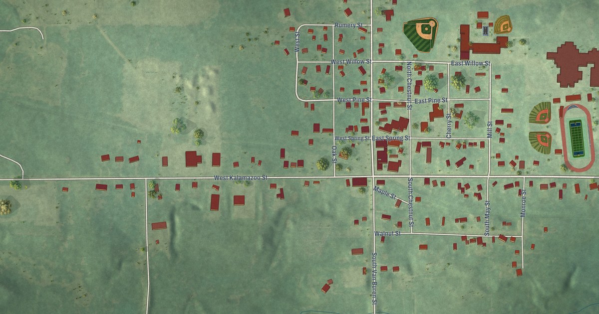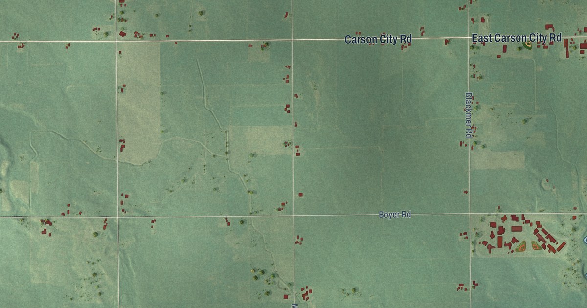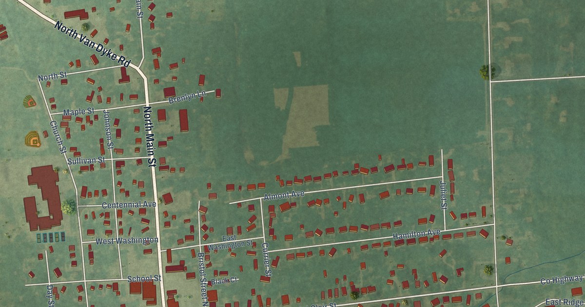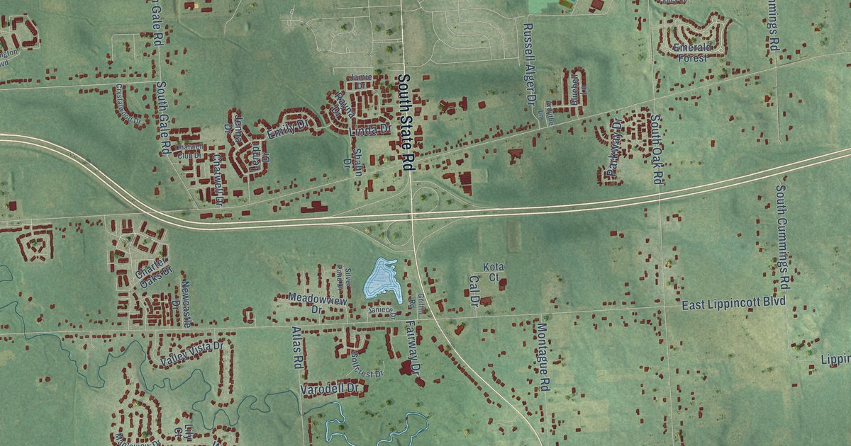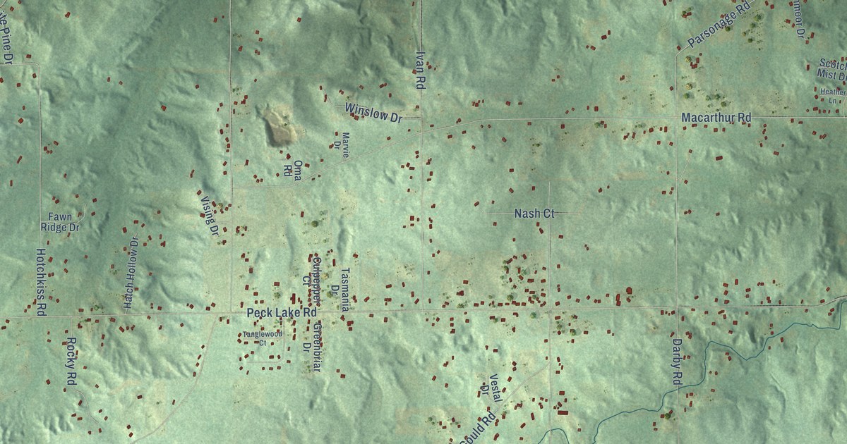
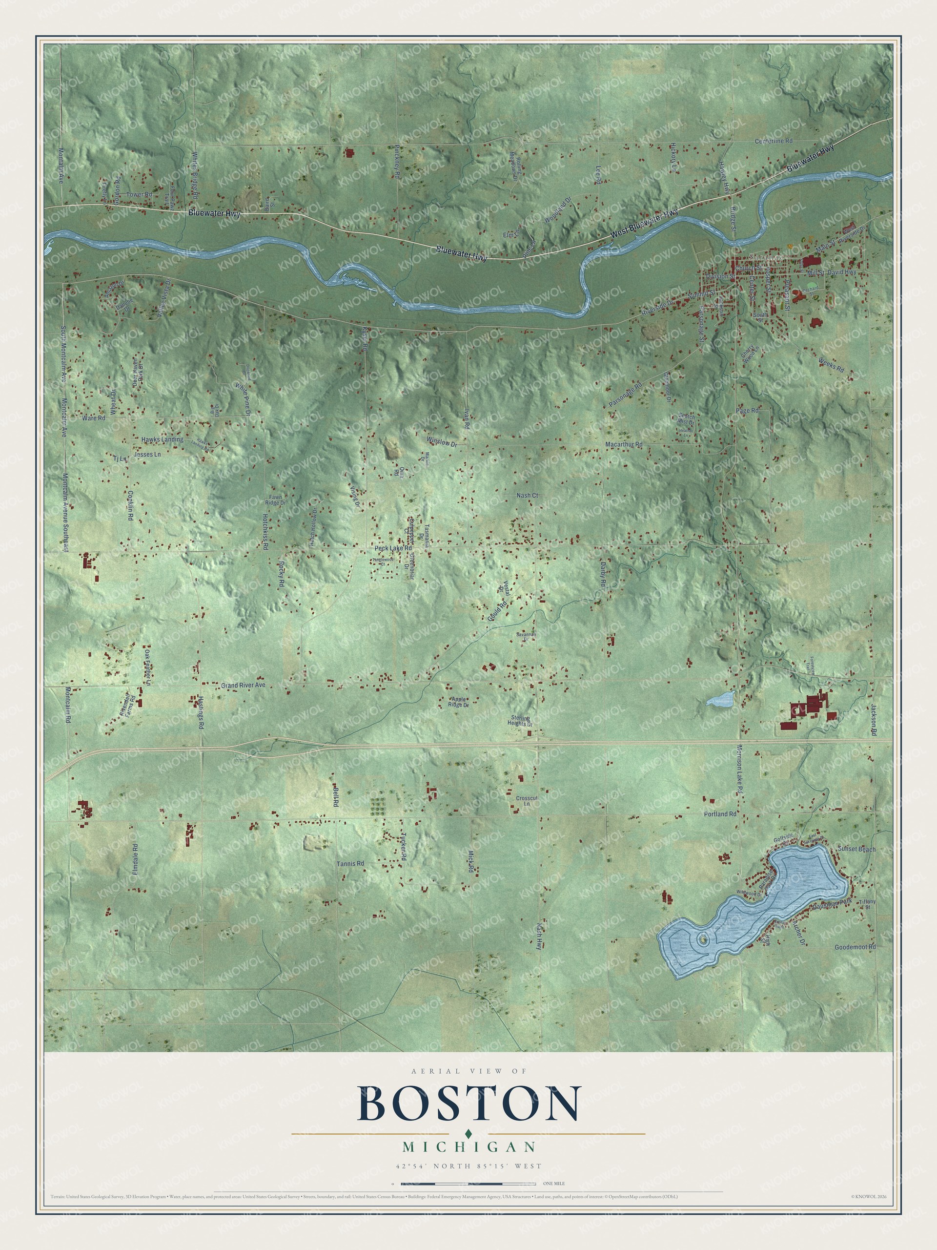
This beautifully detailed map of Boston, Michigan was created in 2026 using aerial imagery combined with modern topographical, census, street and landmark data. It's a modern aerial view of Boston in Ionia County, Michigan, that combines modern data with a vintage aesthetic. The roads feature printed names, and if you look closely you can find your exact house accurately shown in its correct location.
Explore an aerial view of Boston, Michigan
On this map you'll find Saranac, Bluewater Highway, West Bluewater Highway, Montcalm Avenue Southeast, South Montcalm Avenue, Montcalm Avenue, Riverside Drive, Summit Street, Bridge Street, Montcalm Road, Vosper Street, Goodemoot Road, and more. Each red shape is a building, so zoom in on the preview and look for yours.
Every town has a first chapter, and Boston is no exception. The History of Ionia and Montcalm Counties puts it this way: "Boston's first school was taught in Timothy White's house in the summer of 1838 by Sarah Alden, sister to Mr. Timothy White's wife."
The Census Bureau counted 6,021 people here in 2020.
Take a closer look at the Boston map
Names on this map
These names are printed on this map.
Places: Saranac and Dausman Park.
Streets and roads: Bluewater Highway, West Bluewater Highway, Montcalm Avenue Southeast, South Montcalm Avenue, Montcalm Avenue, Riverside Drive, Summit Street, Bridge Street, Montcalm Road, Vosper Street, Goodemoot Road, Mill Street.
More street names, A to Z
Amazon Drive, Apple Ridge Drive, Archer Drive, Baird Street, Bell Road, Big Oak Drive, Breezy Point, Centerline Road, Center Street, Cherry Wood Lane, Church Street, Conklin Road, Crosscut Lane, Culpepper Court, Danube Drive, Darby Road, David Highway, Deer Haven Park Drive, Division Street, Dogwood Drive, East Lakeview Drive, Elmdale Road, Elm Lane, Fawn Ridge Drive, Firefly Lane, Forestview Trail, Four Pawz Trail, Fuller Street, Glenmoor Drive, Golfside Court, Gordon Road, Gould Road, Grand River Avenue, Greenbriar Drive, Hastings Road, Hatch Hollow Drive, Hawks Landing, Hawks Landing Road, Hawley Highway, Heather Lane, Hickory Lane, High Street, Hotchkiss Road, Ivan Road, Jackson Road, Jackson Street, Jesses Lane, Kyser Road, Lee Road, Macarthur Road, Main Street, Marvie Drive, Mick Road, Montalm Avenue, Morrison Lake Road, Nash Court, Nash Highway, Oak Feather Lane, Oma Road, Orchard Street, Page Road, Paradise Park Drive, Parsonage Road, Parsonage Street, Peck Lake Road, Pinckney Road, Pine Lane, Pleasant Street, Portland Road, Rivendell Farms Road, Rocky Road, Rolling Meadows Drive, Savannah Drive, Scotch Mist Drive, South Street, Sterling Heights Drive, Sunset Beach, Tanglewood Court, Tannis Road, Tasmania Drive, Tiffany Street, Tj Lane, Tower Road, Tucker Road, Valley Vista Drive, Vestal Drive, Vising Drive, Ware Road, Weeks Road, West Riverside Drive, Wheat Drive, White Pine Drive, Whites Bridge Road, Wildwood Drive, Winslow Drive, Woodland Drive.
Created by KNOWOL in 2026. The buildings are small red shapes, the roads carry their printed names, and shaded relief shows the shape of the land. The title panel reads "AERIAL VIEW OF BOSTON, MICHIGAN" with 42°54' NORTH 85°15' WEST.
Hang it in the hallway, the office or the cabin, or give it to someone who left Boston and still calls it home. Open the preview and look for a street you know. See sizes and frames for the Boston map.