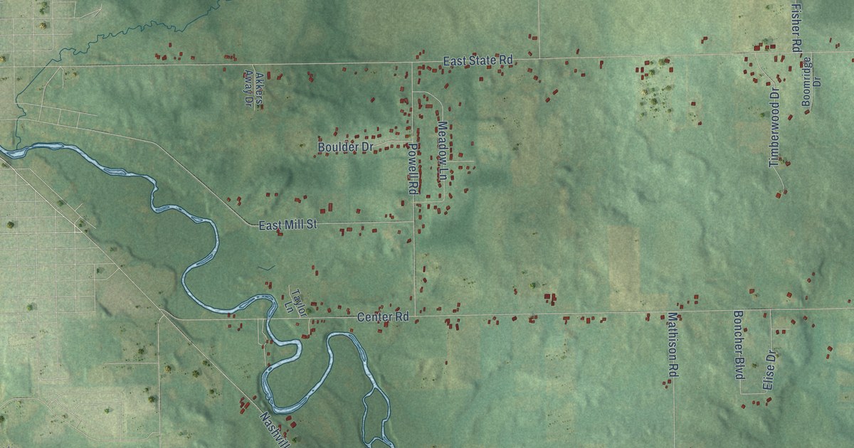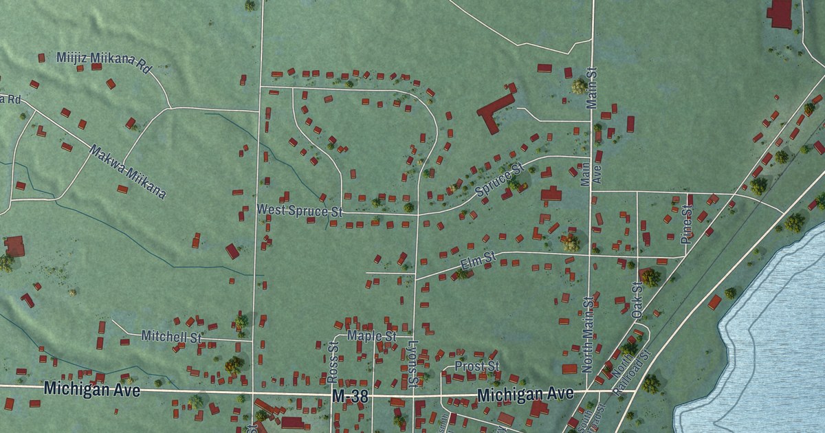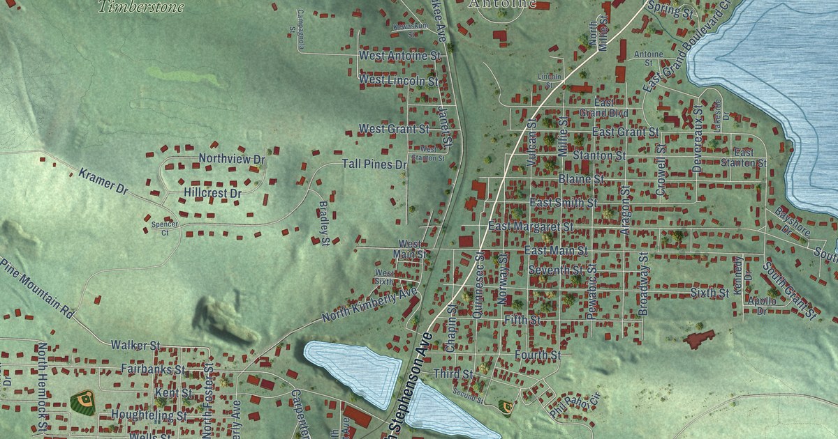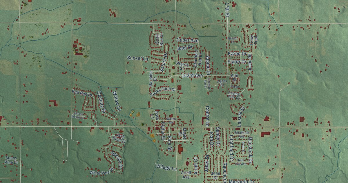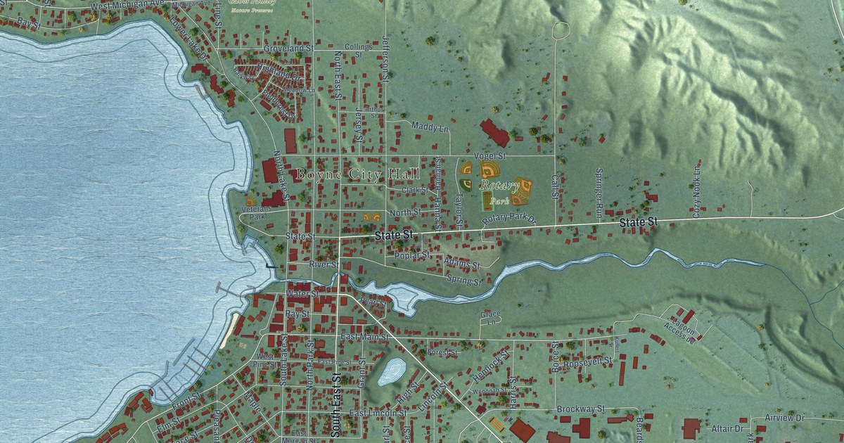
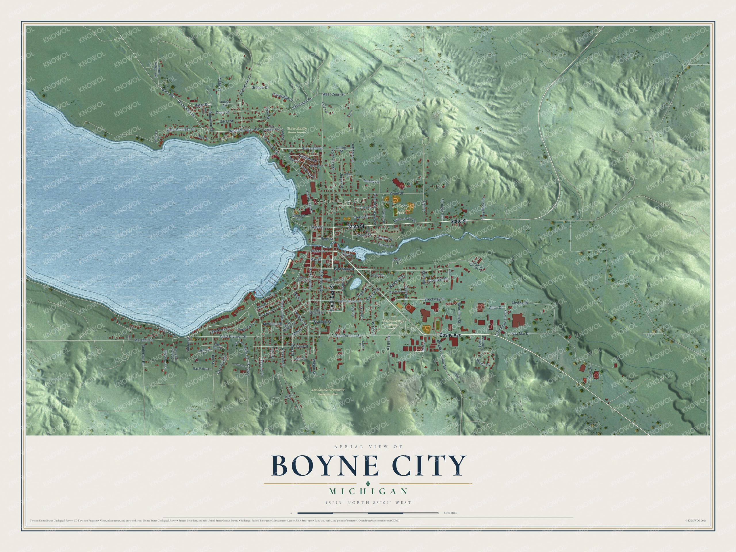
This beautifully detailed map of Boyne City, Michigan was created in 2026 using aerial imagery combined with modern topographical, census, street and landmark data. It's a modern aerial view of Boyne City in Charlevoix County, Michigan, that combines modern data with a vintage aesthetic. The roads feature printed names, and if you look closely you can find your exact house accurately shown in its correct location.
Explore an aerial view of Boyne City, Michigan
On this map you'll find Boyne City Hall, Avalanche Preserve Recreation Area, Gabos Family Nature Preserve, Maple Lawn Cemetery, Rotary Park, Boyne Avenue, State Street, South East Street, West Michigan Avenue, Front Street, Charlevoix Road, East Main Street, and more. Each red shape is a building, so zoom in on the preview and look for yours.
Here is a piece of Boyne City history, in the words of the record. The History of Northern Michigan and Its People puts it this way: "William J. Lewis when a boy attended a subscription school in Clinton county, and in 1880 came to Boyne City. He established the first meat market in the village."
Boyne City is a city in Charlevoix County. The Census Bureau counted 3,816 people here in 2020.
Take a closer look at the Boyne City map
Names on this map
These names are printed on this map.
Places: Boyne City Hall, Avalanche Preserve Recreation Area, Gabos Family Nature Preserve, Maple Lawn Cemetery, Rotary Park, Air Industrial Park and Veterans Park.
Streets and roads: Boyne Avenue, State Street, South East Street, West Michigan Avenue, Front Street, Charlevoix Road, East Main Street, Mich Avenue, West Court Street, Ridge Street, Brockway Street, River Street.
More street names, A to Z
Adams Street, Addis Street, Airview Drive, Alice Street, Altair Drive, Anderson Road, Ann Street, Arthur Street, Barkway, Bay Ridge Lane, Bay Street, Bc East Jordan Road, Beardsley Street, Boice Street, Boyne Summit Street, Brown Street, Call Street, Charlevoix Street, Cherry, Clark Street, Collings Street, Court Street, Cozy Nook Lane, Deer Run Drive, Deer Run Street, Douglas Street, Earl Street, East Court Street, East Division Street, East Lincoln Street, East Michigan Avenue, East Morgan Street, East Pine Street, Elm Street, Erber Drive, Fieldcrest Drive, First Street, Forest Park Lane, Forest Street, Franklin Street, Grace Lane, Grant Street, Groveland Street, Grunow Drive, Hannah Street, Hanna Street, Harborage Heights Trail, Harborview, Harris Street, Haven Court, Hawkridge Drive, Hemlock Street, Highland Drive, High Street, Hull Street, Jefferson Street, Jersey Street, Kuhn Drive, Kunert Street, Lac Vue Road, Lagoon Access de, Lake Park Drive, Lakeshore Drive, Lakeview Drive, Leroy Street, Lewis Street, Lexa Mar Drive, Lincoln Street, Line Street, Lower Lake Drive, Lyle Lane, Lynn Street, Maddy Lane, Maple, Marshall Fields Drive, Marshall Street, McKinley Street, Meadow Lane, Mission Drive, Moll Drive, Nordic Drive, North East Street, North Lake Street, North Park Street, North Street, Pearl Street, Pleasant Avenue, Pleasant Street, Poplar Street, Ray Street, Reh Lane, Ridge Avenue, Robinson Street, Roosevelt Street, Rotary Park Drive, Second Street, Sidney Street, Silver Street, South Lake Street, Springer Run, Spring Street, Sutliff Lane, Taylor Street, Terrace Street, Timber Lane, Timber Ridge Trail, Trent Street, Vogel Street, Water Street, Wenonah Street, West Division Street, West Michigan Street, West Morgan Street, West Pine Street, West Street, Wilson Street, Woodland Drive.
Created by KNOWOL in 2026. The buildings are small red shapes, the roads carry their printed names, and shaded relief shows the shape of the land. The title panel reads "AERIAL VIEW OF BOYNE CITY, MICHIGAN" with 45°13' NORTH 85°01' WEST.
It suits a den, a classroom or a front hall, and it makes a gift for anyone with Boyne City roots. Open the preview and find the block you know. See sizes and frames for the Boyne City map.