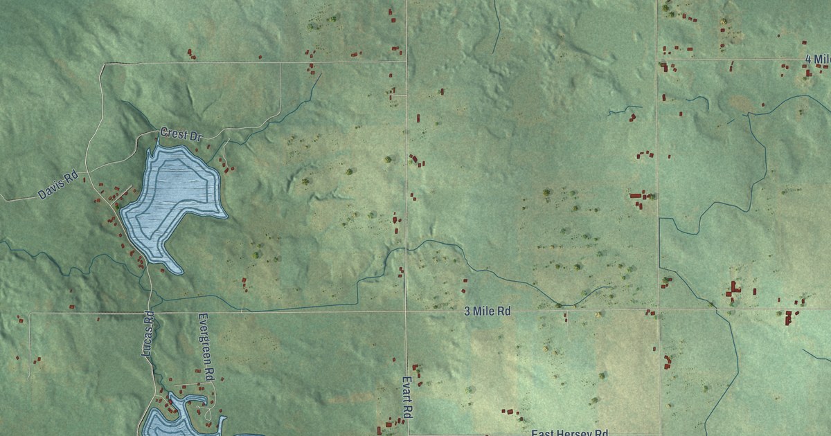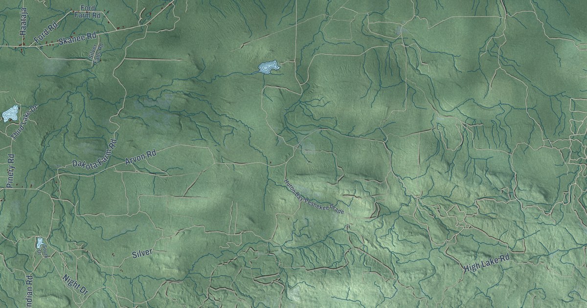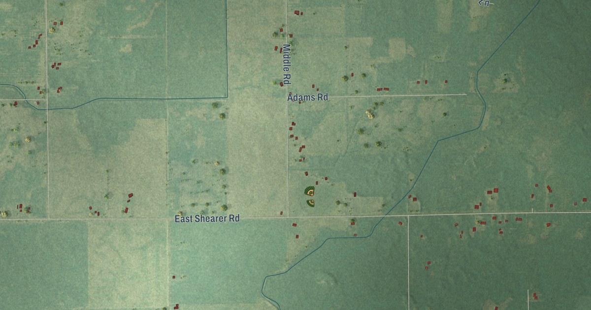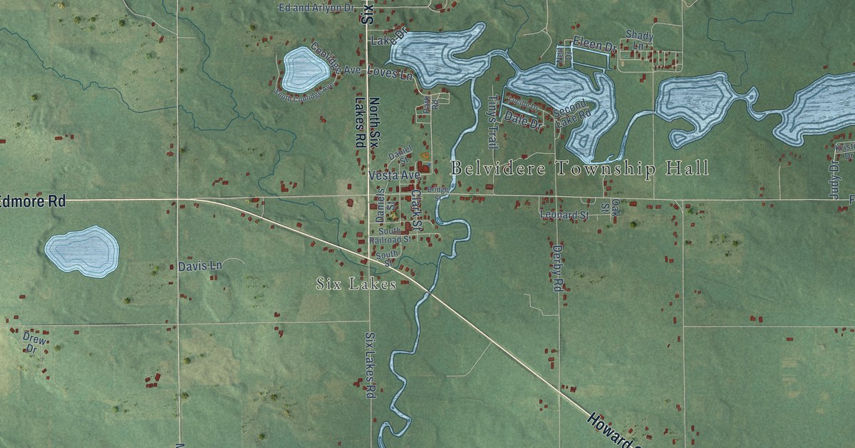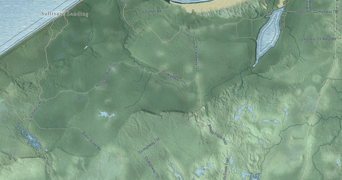
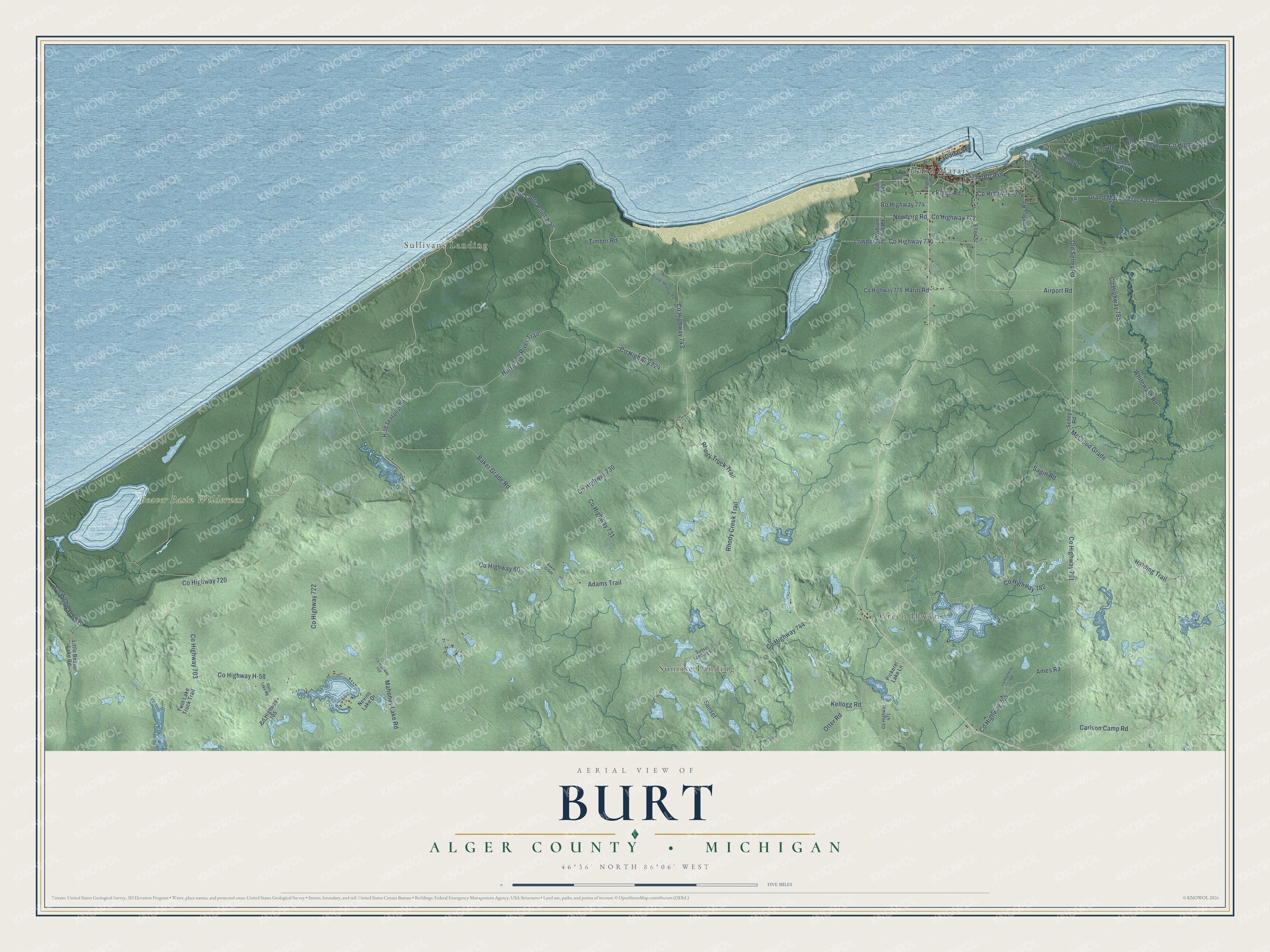
This beautifully detailed map of Burt, Michigan was created in 2026 using aerial imagery combined with modern topographical, census, street and landmark data. It's a modern aerial view of Burt in Alger County, Michigan, that combines modern data with a vintage aesthetic. The roads feature printed names, and if you look closely you can find your exact house accurately shown in its correct location.
Explore an aerial view of Burt, Michigan
On this map you'll find Grand Marais, Green Haven, Sullivans Landing, Sunrise Landing, Beaver Basin Wilderness, Co Highway 720, Au Sable Point Trail, Co Highway 782, Rhody Creek Trail, Sagin Road, Co Highway 724, Co Highway 743, and more. Each red shape is a building, so zoom in on the preview and look for yours.
Every town has a first chapter, and Burt is no exception. The record at arcgis.com puts it this way: "Grand Marais, which is among Michigan's oldest place names, received its name from French explorers, missionaries, and traders who passed here in the 1600s."
The Census Bureau counted 411 people here in 2020.
Take a closer look at the Burt map
Names on this map
These names are printed on this map.
Places: Grand Marais, Green Haven, Sullivans Landing, Sunrise Landing and Beaver Basin Wilderness.
Streets and roads: County Highway 720, Au Sable Point Trail, County Highway 782, Rhody Creek Trail, Sagin Road, County Highway 724, County Highway 743, Rhody Truck Trail, Adams Trail, Mahoney Lake Road, Airport Road, Everett Avenue.
More street names, A to Z
Alger Avenue, Ames Road, Baker Grade, Baker Grade Road, Beaver Meadow Road, Canal Street, Carlson Camp Road, Cemetery Road, County Highway 60, County Highway 471, County Highway 699, County Highway 703, County Highway 705, County Highway 708, County Highway 722, County Highway 730, County Highway 731, County Highway 744, County Highway 765, County Highway 768, County Highway 770, County Highway 772, County Highway 774, County Highway 776, County Highway 778, County Highway 781, County Highway 785, County Highway 796, County Highway H-58, Deer Lane, East Bay Lane, Ellen Street, Grand Marais Truck Trail, H-58 Seasonal Road, H58 West, Harding Trail, Harju Road, Hurricane River Trail, Kellogg Road, King Road, Little Beaver Lake Road, Lowder Road, McCloud Grade, Nevins Lake Drive, Newberg Road, Old Seney Road, Otter Road, Pickerel Lake Lane, Ridge Road, Ross Lake Road, Sable Lake Road, Sandy Lane, School Forest Road, School Road, Seney Road, Sucker Rv Road, Sunset, Sunset Landing Road, Timber Road, Twin Lake Truck Trail, Whitewash Road, William Hill Road.
Created by KNOWOL in 2026. The buildings are small red shapes, the roads carry their printed names, and shaded relief shows the shape of the land. The title panel reads "AERIAL VIEW OF BURT, ALGER COUNTY • MICHIGAN" with 46°36' NORTH 86°06' WEST.
Hang it in the hallway, the office or the cabin, or give it to someone who left Burt and still calls it home. Open the preview and look for a street you know. See sizes and frames for the Burt, Alger County map.