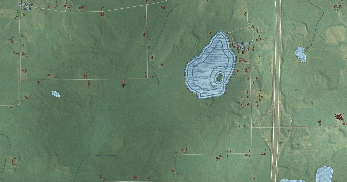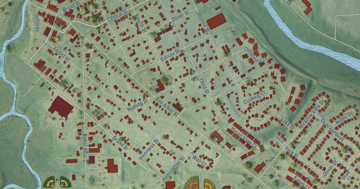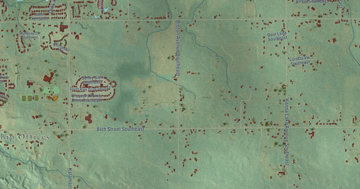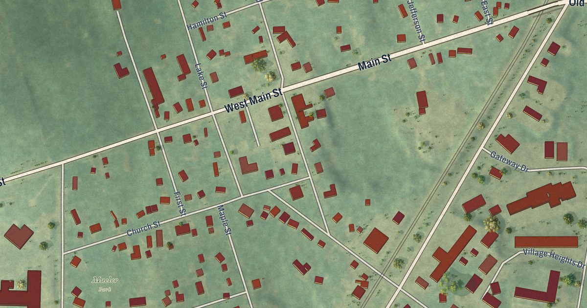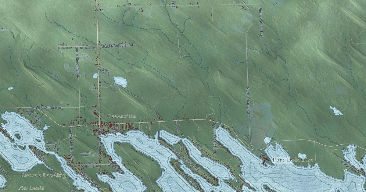
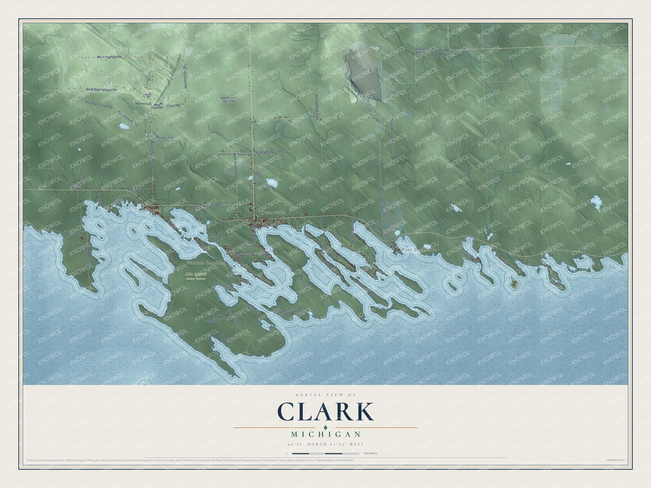
This beautifully detailed map of Clark, Michigan was created in 2026 using aerial imagery combined with modern topographical, census, street and landmark data. It's a modern aerial view of Clark in Mackinac County, Michigan, that combines modern data with a vintage aesthetic. The roads feature printed names, and if you look closely you can find your exact house accurately shown in its correct location.
Explore an aerial view of Clark, Michigan
On this map you'll find Port Dolomite, Hessel, Patrick Landing, Cedarville, Aldo Leopold Nature Preserve, West Cedar Street, South Meridian Street, South Park Avenue, Quarry Road, Bay City Lake Road, West State Avenue, East Swede Road, and more. Each red shape is a building, so zoom in on the preview and look for yours.
Here is a piece of Clark history, in the words of the record. The National Register of Historic Places puts it this way: "The first established schoolhouse in Les Cheneaux area was built in Hessel in 1887, and was
located immediately behind the present schoolhouse."
The Census Bureau counted 1,917 people here in 2020.
Take a closer look at the Clark map
Names on this map
These names are printed on this map.
Places: Port Dolomite, Hessel, Patrick Landing, Cedarville and Aldo Leopold Nature Preserve.
Streets and roads: West Cedar Street, South Meridian Street, South Park Avenue, Quarry Road, Bay City Lake Road, West State Avenue, East Swede Road, North Three Mile Road, North Quarry Road, West Saint Ignace Road, Brulee Point Road, Big Lasalle Island.
More street names, A to Z
Boggy Path, Cedar Street, Chard Road, Club Road, Crow Pointe Road, East 30 Mile Road, East Fox Lair Trail, East Grove Street, East Little la Salle Island, East Nordquist Road, East Sherlund Lane, Logging Trail, Nopaming Drive, North Blindline Road, North Chard Road, North Czech Lane, North Drive, North Patrick Trail, North Steel Creek Road, North Webb Road, North Winberg Road, Nye Road, Palmerlee Road, Pr Drive, Rudd Road, South 4 Mile Block Road, South Ann Street, South Cedar Campus Road, South Coryell Island, South Duck Bay Trail, South Fenlon Street, South Flower Bay Road, South Forest Lane, South Fox Street, South Hessel Point Road, South Hill Island Road, South Islington Road, South Lakeside Road, South Long Island, South Marquette Bay Trail, South Palmerlee Road, South Pleasant Avenue, South Prentiss Bay Drive, South Rudd Road, South Strongs Island, South Wisner Point Trail, South Woodland Road, Vern Nordquist Road, West Bay City Lake Road, West Cedarst Road, West Chard Road, West Club Road, West Dunn Hill, West Flower Creek Road, West Kromiller Road, West Mertaugh Camp Road, West Nordquist Road, West Poglese Road, West Runway Trail, West Shore Club Drive, Wheeler Way.
Created by KNOWOL in 2026. The buildings are small red shapes, the roads carry their printed names, and shaded relief shows the shape of the land. The title panel reads "AERIAL VIEW OF CLARK, MICHIGAN" with 46°00' NORTH 84°22' WEST.
It suits a den, a classroom or a front hall, and it makes a gift for anyone with Clark roots. Open the preview and find the block you know. See sizes and frames for the Clark map.