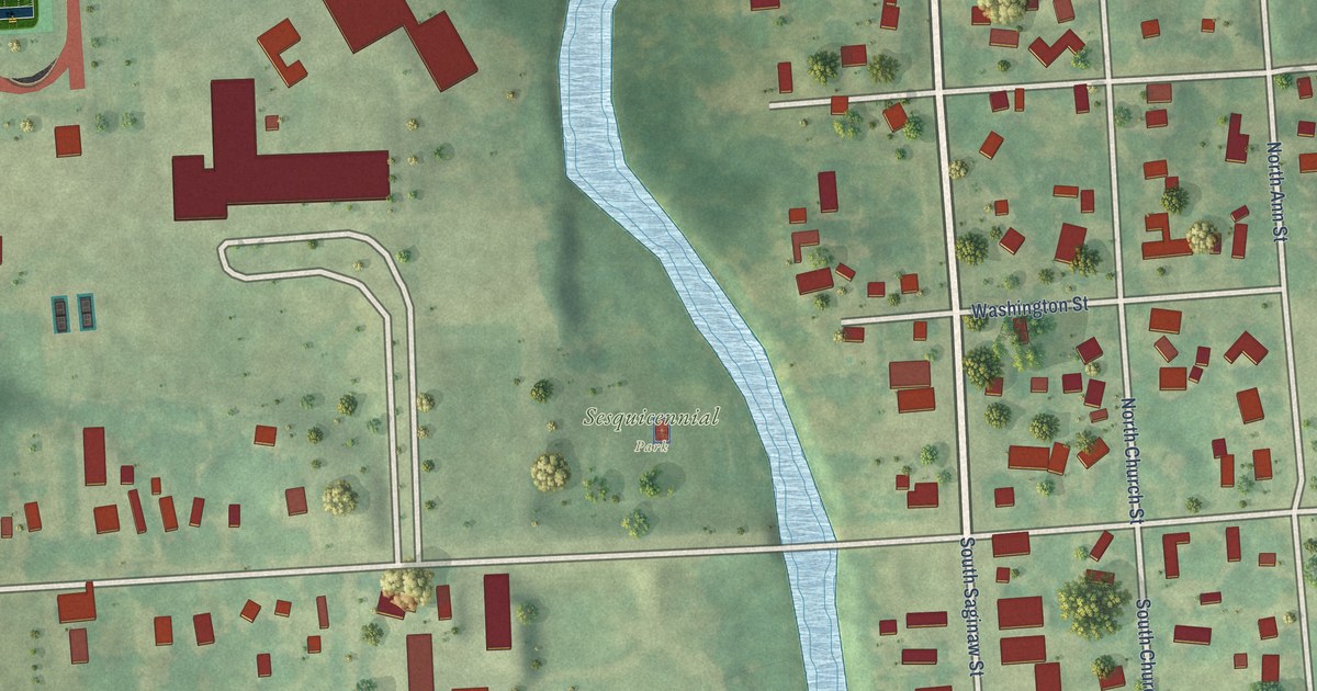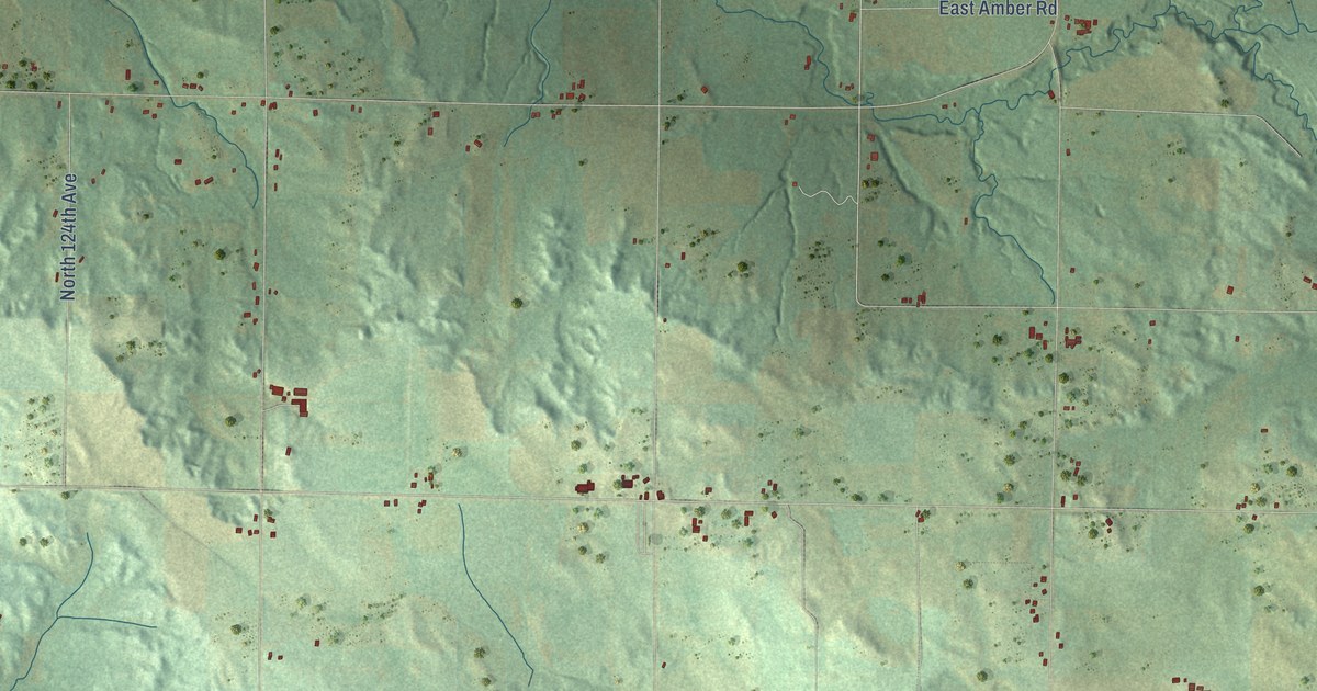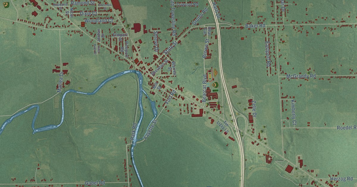
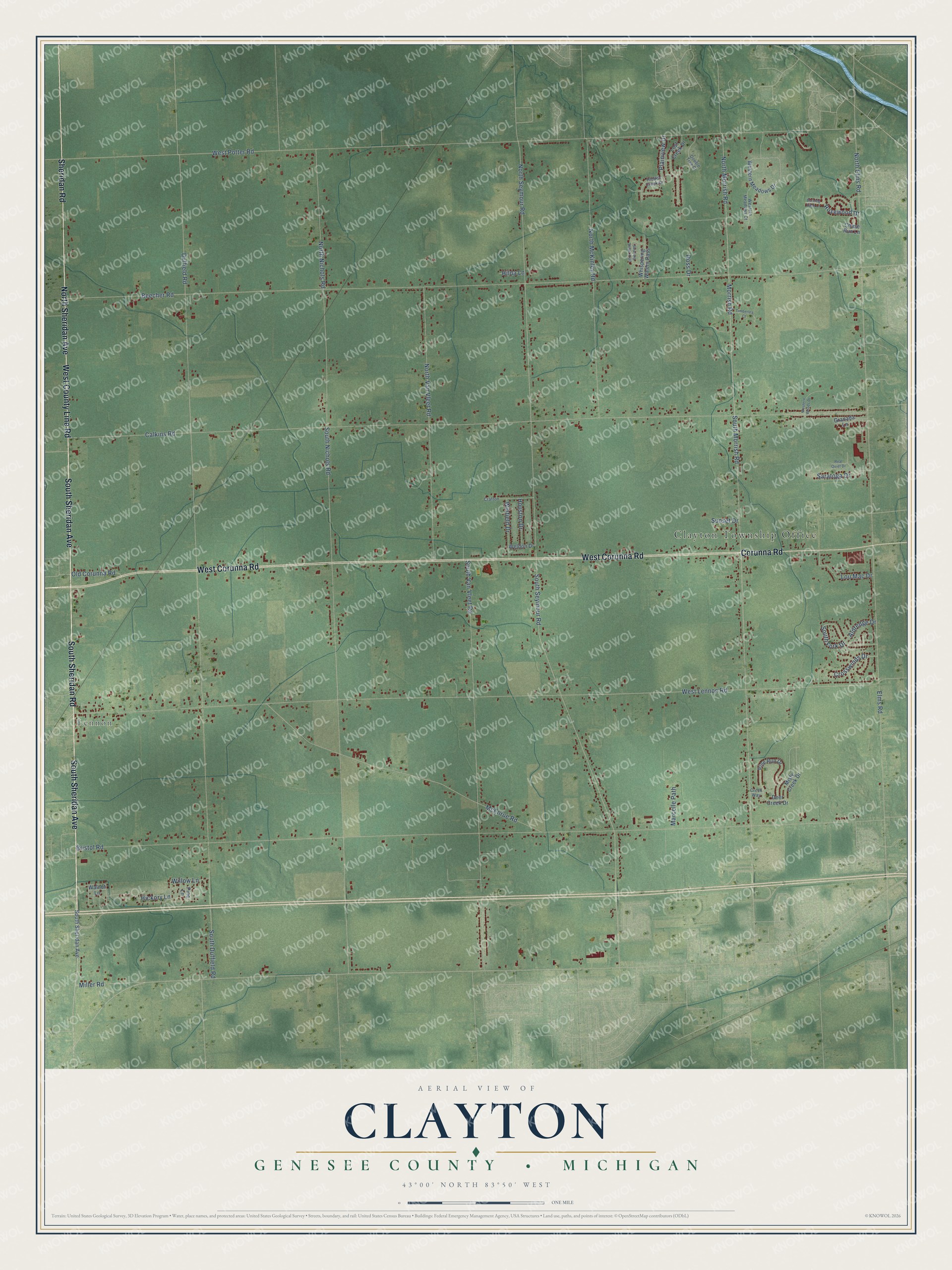
This beautifully detailed map of Clayton, Michigan was created in 2026 using aerial imagery combined with modern topographical, census, street and landmark data. It's a modern aerial view of Clayton in Genesee County, Michigan, that combines modern data with a vintage aesthetic. The roads feature printed names, and if you look closely you can find your exact house accurately shown in its correct location.
Explore an aerial view of Clayton, Michigan
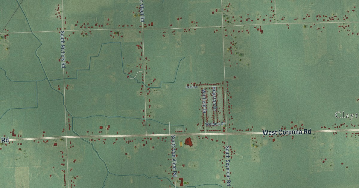
On this map you'll find Clayton Township Office, Lennon, South Sheridan Avenue, South Sheridan Road, West County Line Road, Sheridan Road, West Corunna Road, North Sheridan Avenue, Corunna Road, South Morrish Road, North Seymour Road, Hickory Lane, and more. Each red shape is a building, so zoom in on the preview and look for yours.
Clayton has a story worth telling. The History of Genesee County puts it this way: "In 1848 he sent his eldest son to Pontiac with a load of wheat, and he brought back a load of apples, which were the first brought into Clayton."
The Census Bureau counted 7,460 people here in 2020.
Take a closer look at the Clayton map
Names on this map
These names are printed on this map.
Places: Clayton Township Office and Lennon.
Streets and roads: South Sheridan Avenue, South Sheridan Road, West County Line Road, Sheridan Road, West Corunna Road, North Sheridan Avenue, Corunna Road, South Morrish Road, North Seymour Road, Hickory Lane, West Lennon Road, Calkins Road.
More street names, A to Z
Aldredge Drive, Beecher Road, Bristol Road, Burning Bush Lane, Chase Run Lane, Crafton, Creek Way, Crosswinds Drive, Deer Creek Drive, Double Tree Drive, Duffield Road, Elms Road, Granada Lane, Hidden Creek Drive, Hilda Lane, Houston Drive, Lost Creek Drive, Lou Mac Drive, Marcelle Path, McEnrue Road, Miller Road, Misty Creek Drive, Morrish Road, North Elms Road, North McKinley Road, North Morrish Road, North Nichols Road, North Van Vleet Road, Old Corunna Road, Pine Lane, Pine Run Drive, Plainview Drive, Real Quiet Drive, Rosewood Drive, Ross Drive, Saratoga Drive, Skipping Stone Trail, South Duffield Road, South Fork Drive, South Nichols Road, South Seymour Road, South Van Vleet Road, Sunset Drive, Timberlea Court, Walnut Lane, Weldon Drive, Western Meadows Court, Western Meadows Drive, Western Woods Drive, West Potter Road, Whispering Waters Pass, Willow Lane, Winfield Drive.
Created by KNOWOL in 2026. The buildings are small red shapes, the roads carry their printed names, and shaded relief shows the shape of the land. The title panel reads "AERIAL VIEW OF CLAYTON, GENESEE COUNTY • MICHIGAN" with 43°00' NORTH 83°50' WEST.
It looks right in a kitchen, an office or a den, and it's a gift for anyone who grew up in Clayton or moved away. Open the preview and find your street. See sizes and frames for the Clayton, Genesee County map.