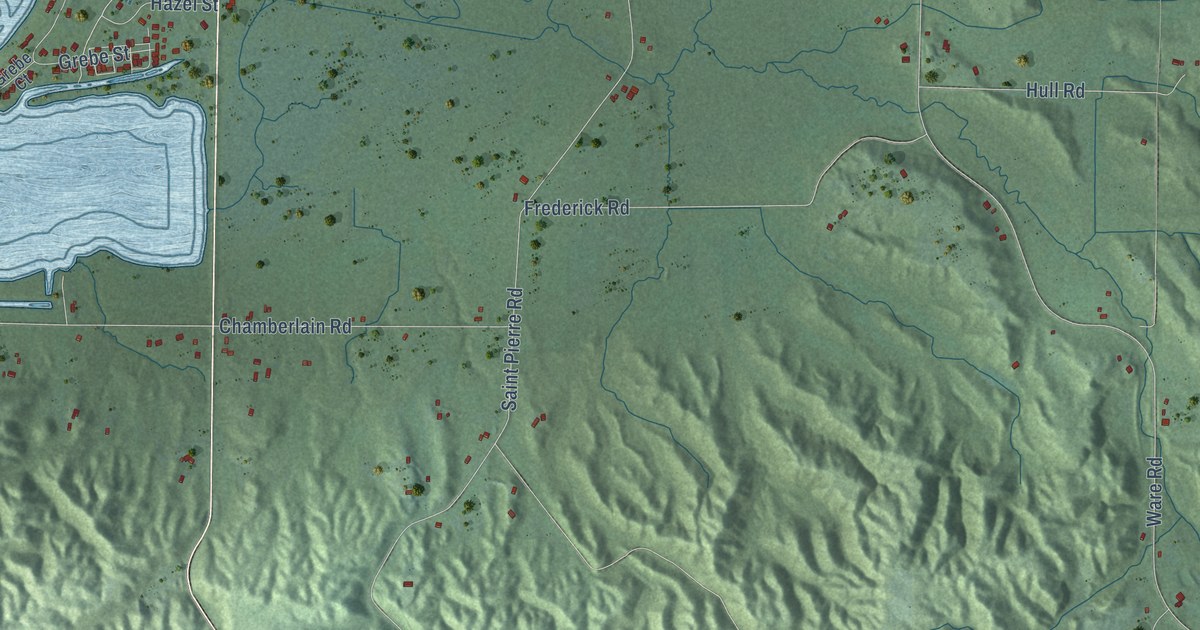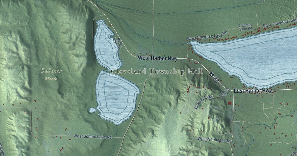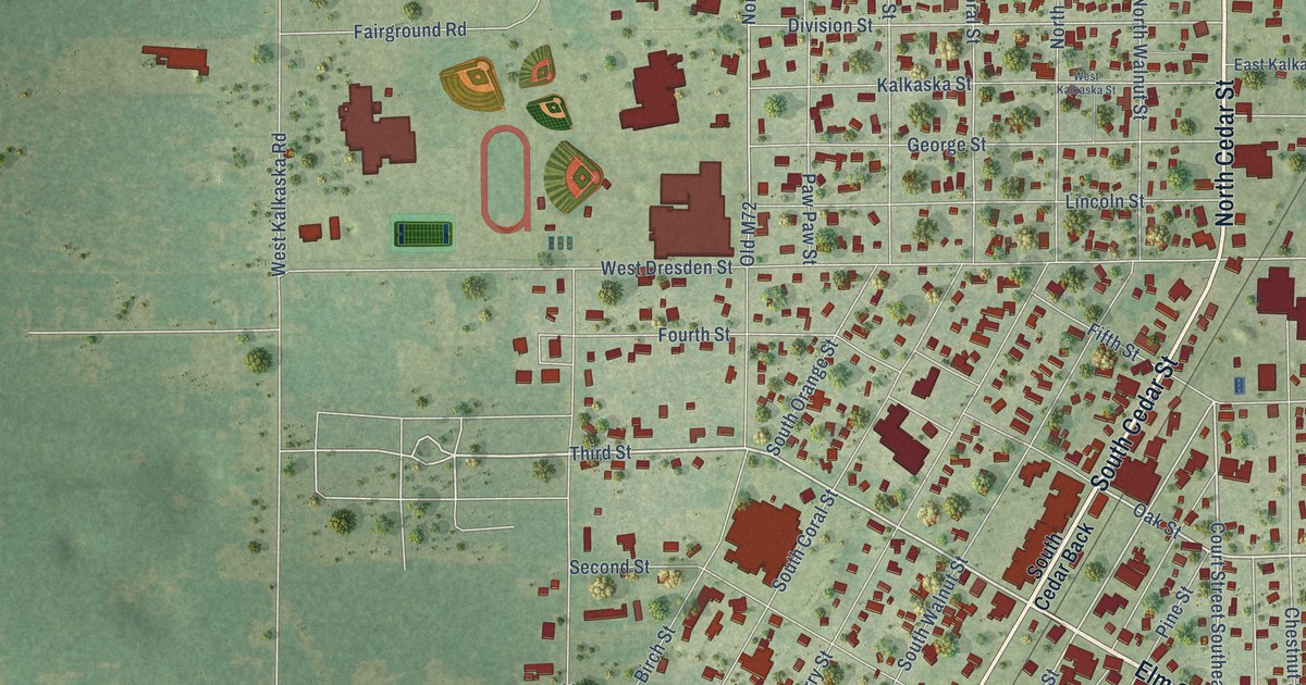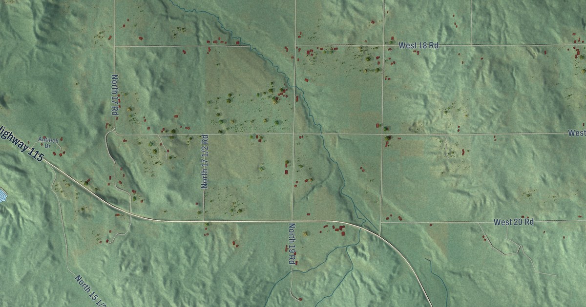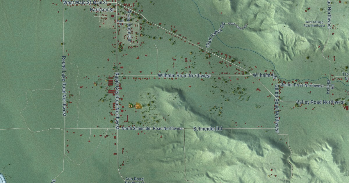
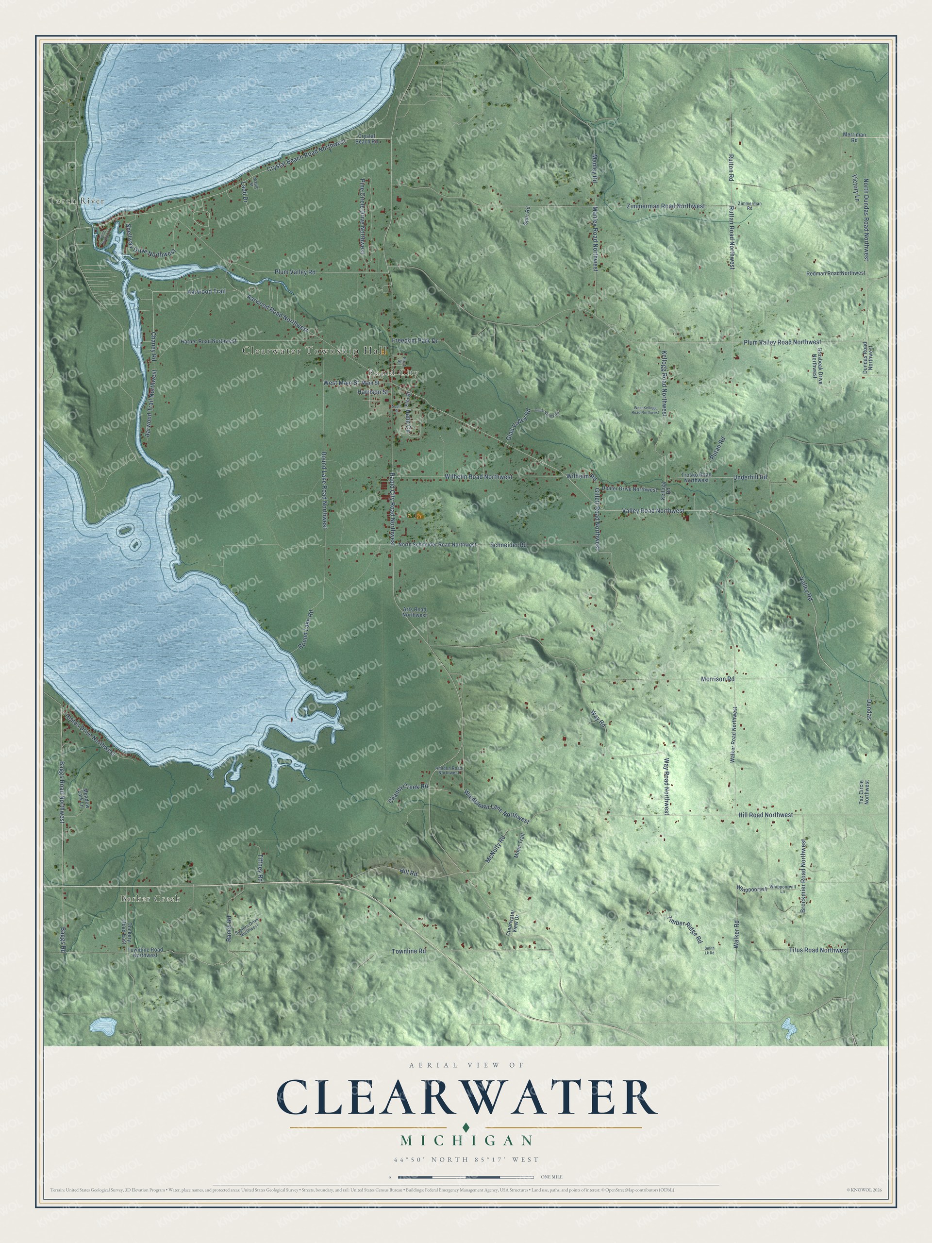
This beautifully detailed map of Clearwater, Michigan was created in 2026 using aerial imagery combined with modern topographical, census, street and landmark data. It's a modern aerial view of Clearwater in Kalkaska County, Michigan, that combines modern data with a vintage aesthetic. The roads feature printed names, and if you look closely you can find your exact house accurately shown in its correct location.
Explore an aerial view of Clearwater, Michigan
On this map you'll find Clearwater Township Hall, Torch River, Barker Creek, Rapid City, Valley Road, Valley Road Northwest, North Dundas Road Northwest, Crystal Beach Road Northwest, Plum Valley Road, Townline Road, Underhill Road, West Main Street, and more. Each red shape is a building, so zoom in on the preview and look for yours.
Every town has a first chapter, and Clearwater is no exception. The Traverse Region puts it this way: "Mr. Boss took a leading part in the organization of the town of Clearwater, and was the first supervisor from that town."
The Census Bureau counted 2,497 people here in 2020.
Take a closer look at the Clearwater map
Names on this map
These names are printed on this map.
Places: Clearwater Township Hall, Torch River, Barker Creek and Rapid City.
Streets and roads: Valley Road, Valley Road Northwest, North Dundas Road Northwest, Crystal Beach Road Northwest, Plum Valley Road, Townline Road, Underhill Road, West Main Street, Rapid City Road Northwest, Baggs Road, Baggs Road Northwest, Hill Road.
More street names, A to Z
Aarwood Road Northwest, Aarwood Trail, Aarwood Trail Northwest, Amidon Road Northwest, Arts Road Northwest, Brockmier Road Northwest, Chaney Creek Road, Chaney Road, Clearwater View Drive, Crystal Beach Road, Deater Drive Northwest, Dockery Road East, Dundas, Dundas Road Northwest, Elm Street, First Street, Freedom Park Drive, Gillett Road Northwest, Glade Valley Road, Glad Valley Road, Grosbeak Drive Northwest, Hahn Circle, Harper Road Northwest, Harrison Street, Hill Road Northwest, Hoiles Drive Northwest, Kellogg Road, Kellogg Road Northwest, Ladd Drive, Main Street, Manley Road, Manley Road Northwest, Maple Street, McNulty Road, Meadow Lark Lane, Merriman Road, Moon Trail, Morrison Road, North Schneider Road Northwest, Pine Circle Drive Northwest, Plum Valley Road Northwest, Ranch Road, Redman Road Northwest, Round Lake Road, Round Lake Road Northwest, Rutan Road, Ruttan Road Northwest, Rutton Road, Saphire Drive Northwest, Schneider Road, Shellway Drive Northwest, Smith Lk Road, South Street, Spur Road, Taz Circle Northwest, Tiffney Road, Timber Ridge Road, Titus Road Northwest, Torch Bridge Court, Townline Road Northwest, Trosko Road Northwest, Victory Lane, Walker Road, Walker Road Northwest, Way Road, Way Road Northwest, West Kellogg Road Northwest, Whippoorwill, Whippoorwill Lane, Wilhelm Road, Wilhelm Road Northwest, Windblown Lane Northwest, Zimmerman Road, Zimmerman Road Northwest.
Created by KNOWOL in 2026. The buildings are small red shapes, the roads carry their printed names, and shaded relief shows the shape of the land. The title panel reads "AERIAL VIEW OF CLEARWATER, MICHIGAN" with 44°50' NORTH 85°17' WEST.
Hang it in the hallway, the office or the cabin, or give it to someone who left Clearwater and still calls it home. Open the preview and look for a street you know. See sizes and frames for the Clearwater map.