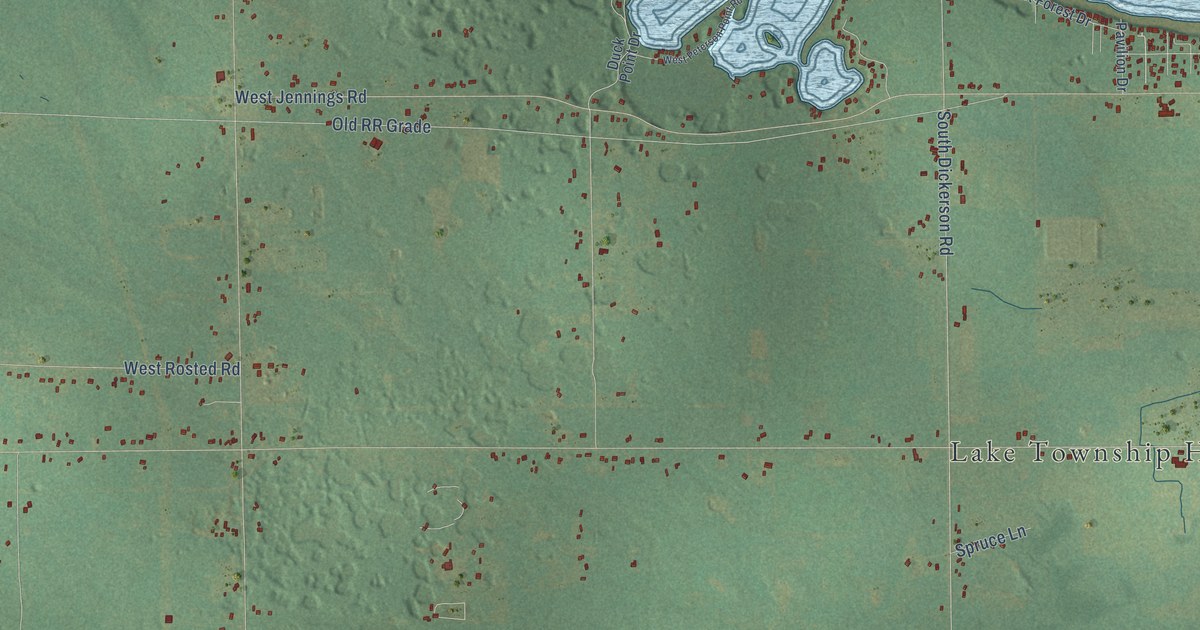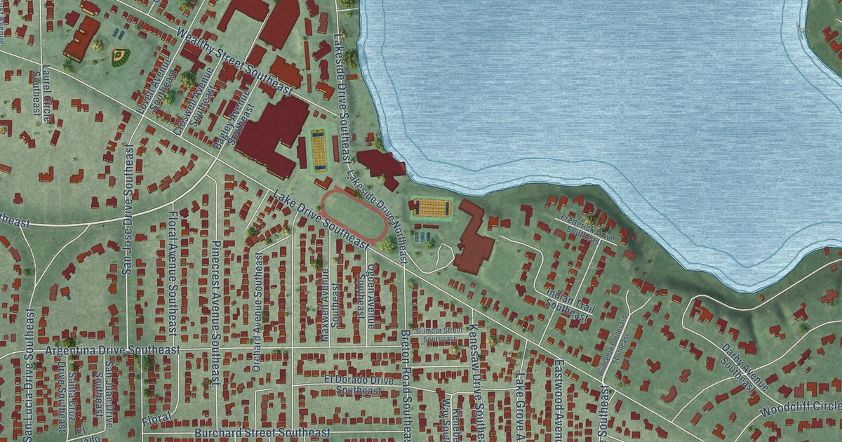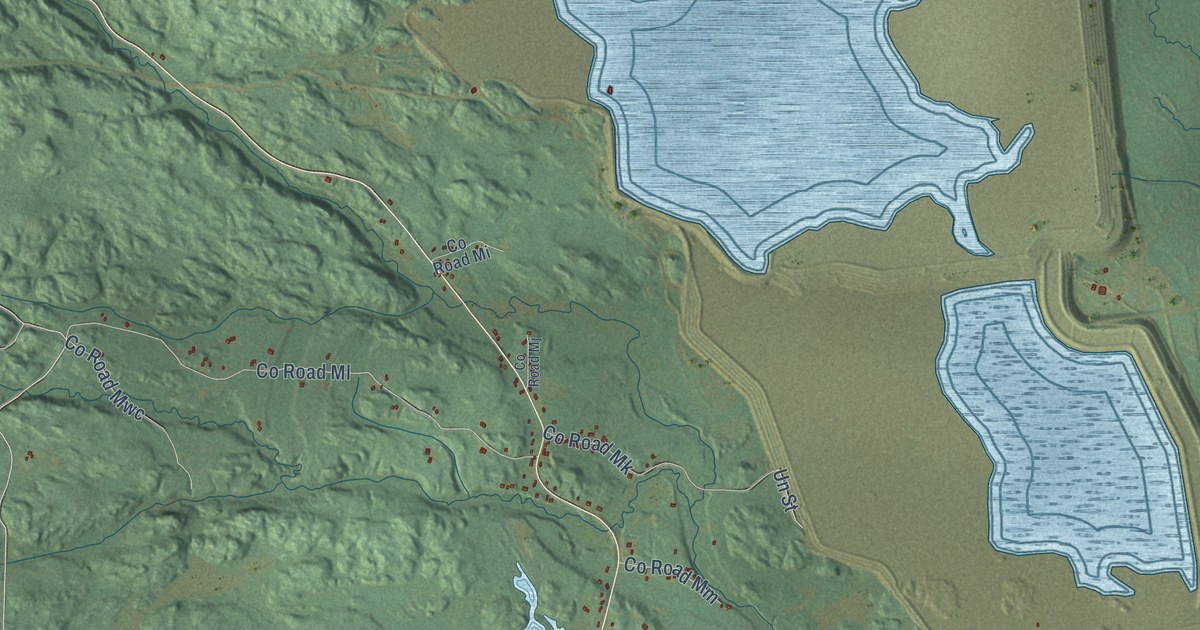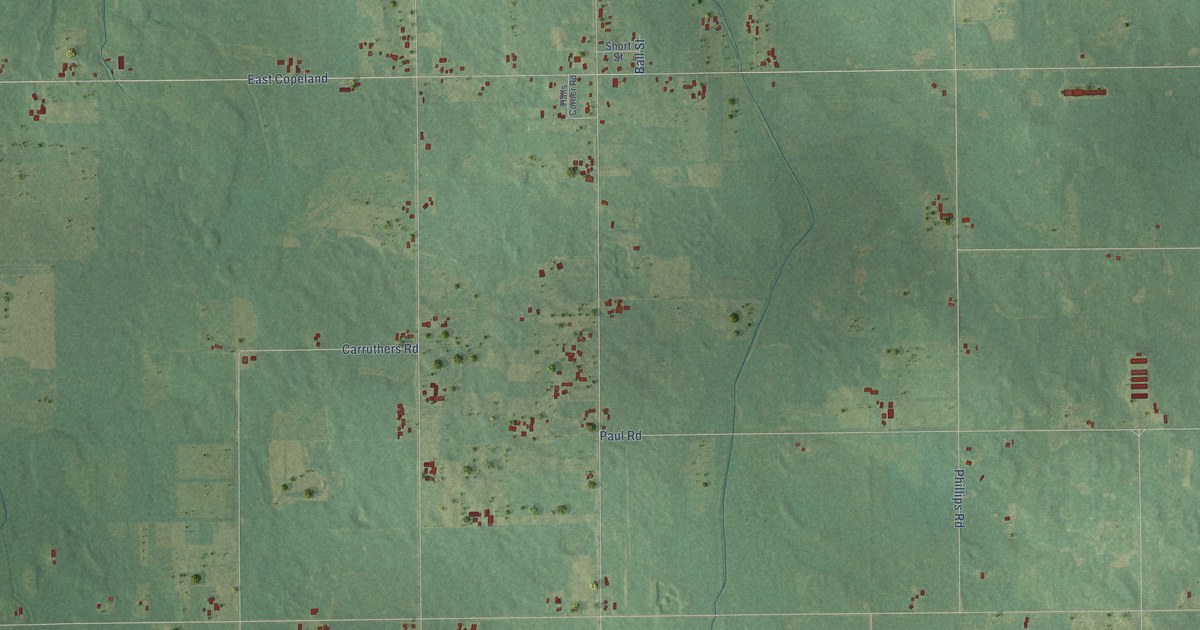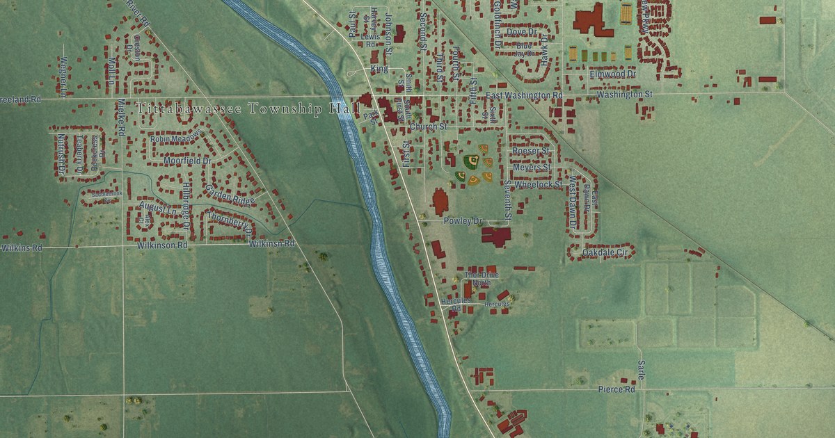
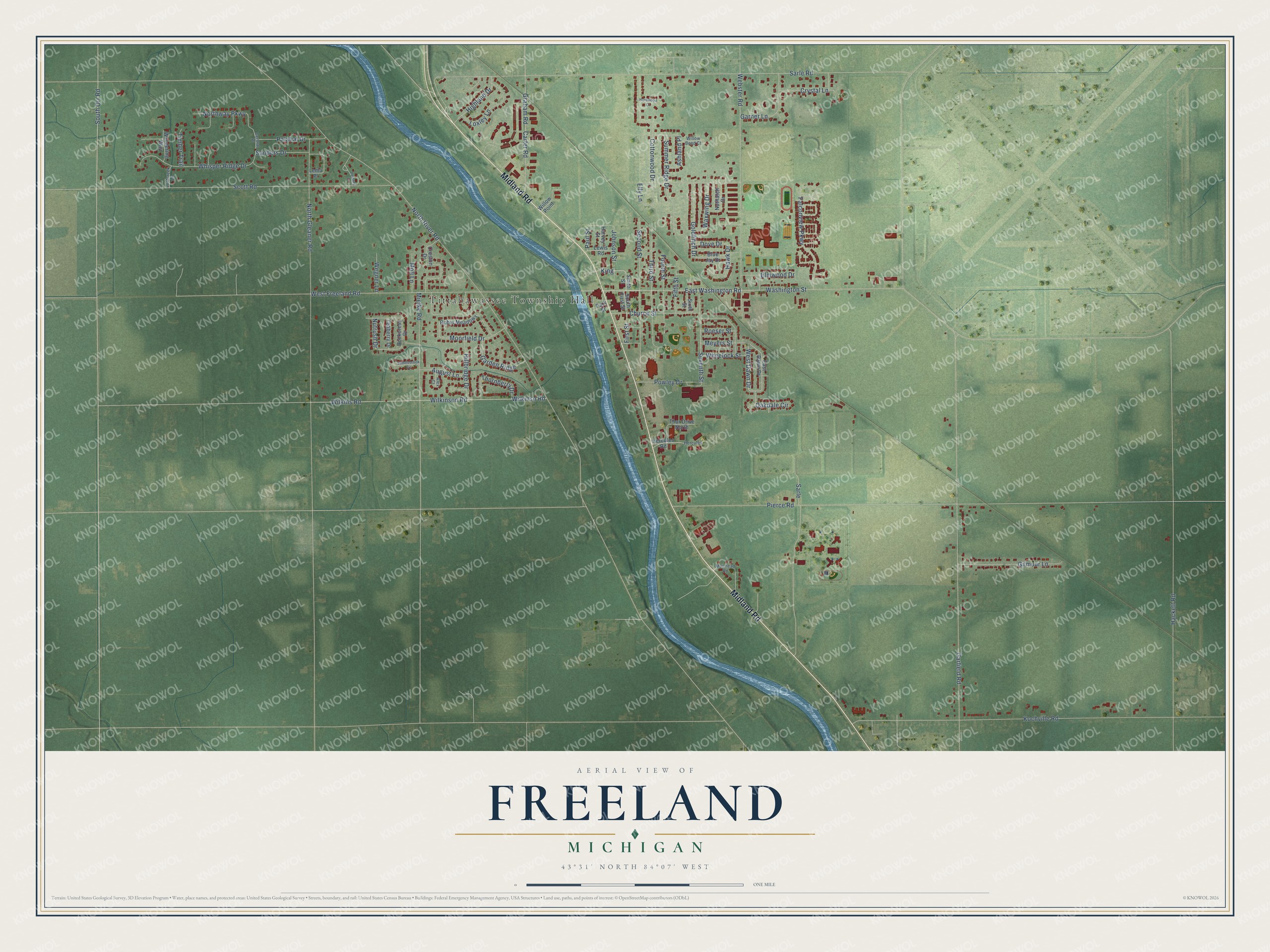
This beautifully detailed map of Freeland, Michigan was created in 2026 using aerial imagery combined with modern topographical, census, street and landmark data. It's a modern aerial view of Freeland in Saginaw County, Michigan, that combines modern data with a vintage aesthetic. The roads feature printed names, and if you look closely you can find your exact house accurately shown in its correct location.
Explore an aerial view of Freeland, Michigan
On this map you'll find Tittabawassee Township Hall, Midland Road, Washington Street, King, West Dawn Drive, Seventh Street, Wilkinsn Road, Nutrush Drive, Sarle Road, West Freeland Road, Garfield Road, Pierce Road, and more. Each red shape is a building, so zoom in on the preview and look for yours.
Every town has a first chapter, and Freeland is no exception. The Saginaw County History puts it this way: "A bit of partisan politics, with a postoffice as the stake, was the opening chapter in the history of Freeland Village."
Freeland is a community in Saginaw County. The Census Bureau counted 7,630 people here in 2020.
Take a closer look at the Freeland map
Names on this map
These names are printed on this map.
Places: Tittabawassee Township Hall.
Streets and roads: Midland Road, Washington Street, King, West Dawn Drive, Seventh Street, Wilkinsn Road, Nutrush Drive, Sarle Road, West Freeland Road, Garfield Road, Pierce Road, North River Road.
More street names, A to Z
Alex Court, Ashland Place, August Lane, Blue Jay Drive, Carter Road, Central Place, Church Street, Cottonwood Drive, Creston Drive, Crystal Lane, Delaney Drive, Dove Drive, East Dawn Drive, East Washington Road, Elly Lane, Elmwood Drive, Falconview Parkway, Fifth Street, First Street, Fourth Street, Garden Ridge, Garner Lane, Gilmour Lane, Goldfinch Drive, Graham Road, Hackett Road, Hardwood Court, Harvey Street, Hawk Drive, Hercules, Hercules Road, Highland Drive, Hillbridge Drive, Johnson Street, Kochville Road, Lema Place, Lewis Road, Lostcreek Lane, Loxley Lane, Meyers Street, Mielke Road, Moll Lane, Moorfield Drive, Muirhead Road, North Gleaner Road, Northway Parkway, Nuthatch Drive, Oakdale Circle, Palatial Drive, Park Street, Paul Street, Powley Drive, Robin Meadows, Rockcress Drive, Roeser Street, Saddlebrook Circle, Sanders Drive, Sarle, Scott Road, Second Street, Sixth Street, Smith Street, South First Street, South Orr Road, Summer Ridge Drive, Teaberry Drive, Third Street, Thor Drive North, Thornberry Drive, Timber Trail, Wandering Way, Waxwing Drive, Webster Road, Wegner Lane, Wheelock Street, Whisper Ridge Drive, Wilkinson Road, Wilkins Road, Willow Bend Court, Willow Point.
Created by KNOWOL in 2026. The buildings are small red shapes, the roads carry their printed names, and shaded relief shows the shape of the land. The title panel reads "AERIAL VIEW OF FREELAND, MICHIGAN" with 43°31' NORTH 84°07' WEST.
Hang it in the hallway, the office or the cabin, or give it to someone who left Freeland and still calls it home. Open the preview and look for a street you know. See sizes and frames for the Freeland map.