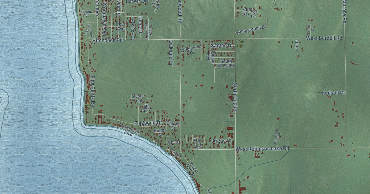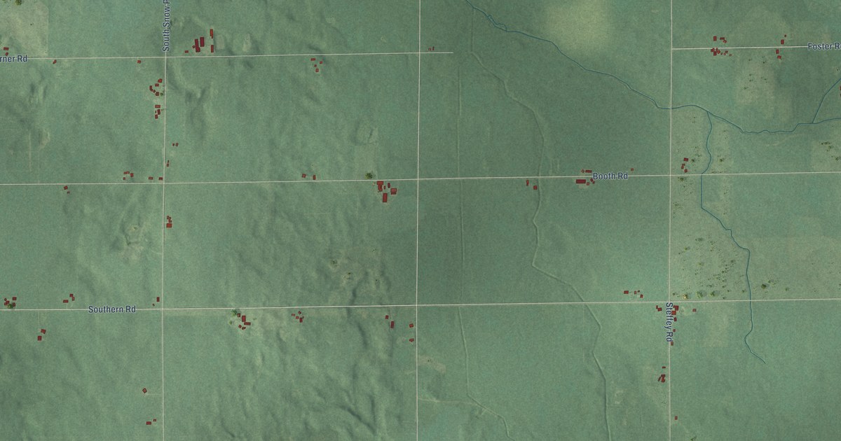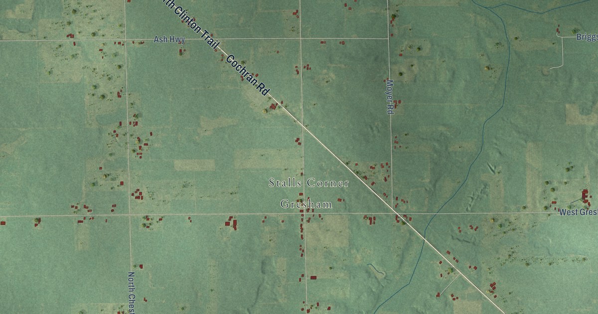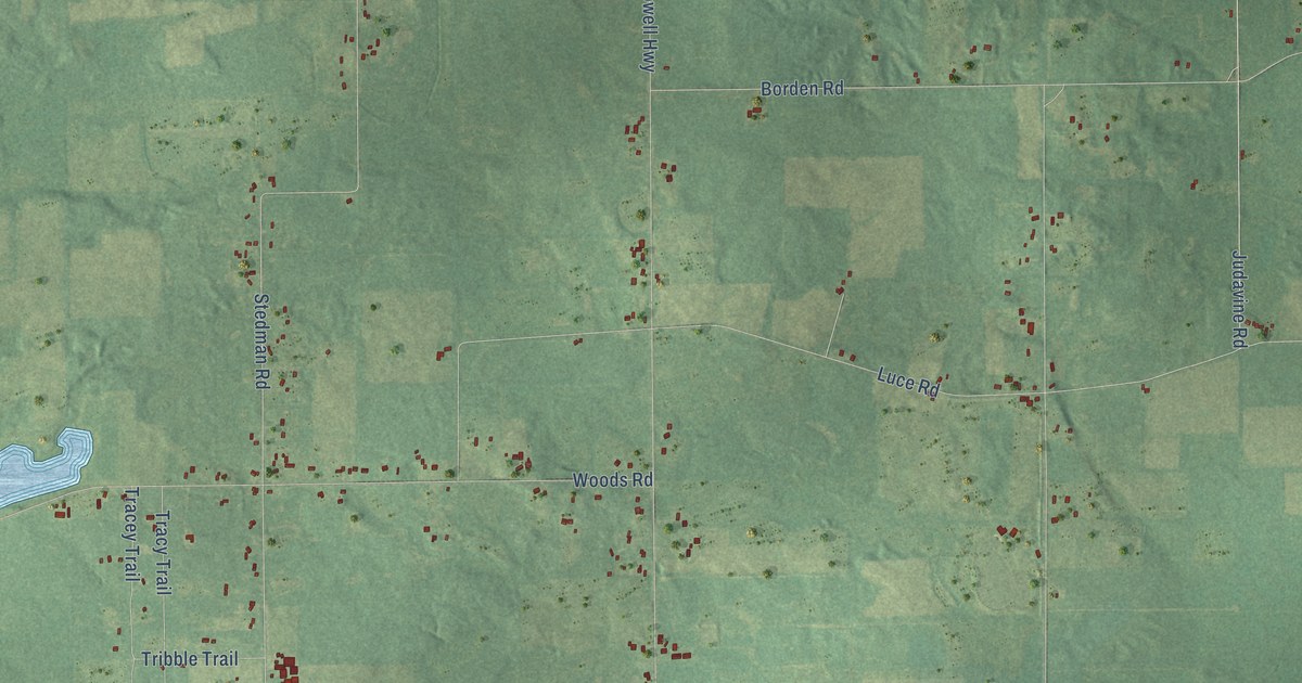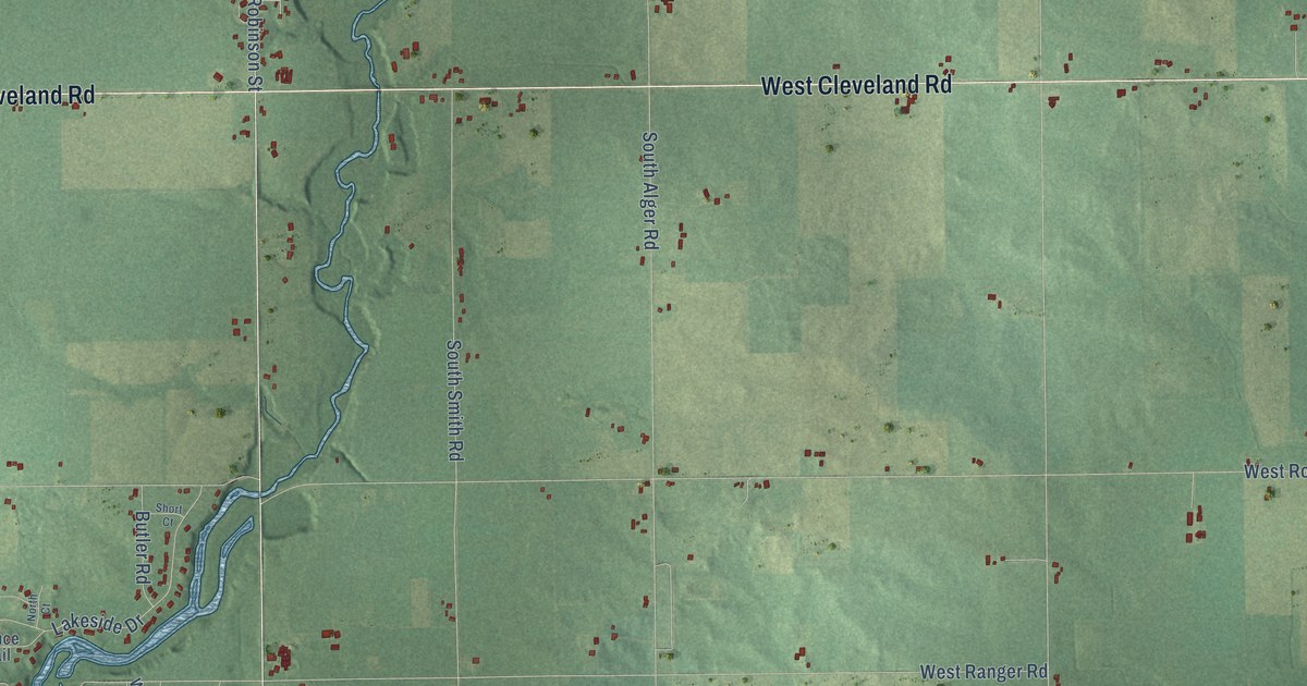
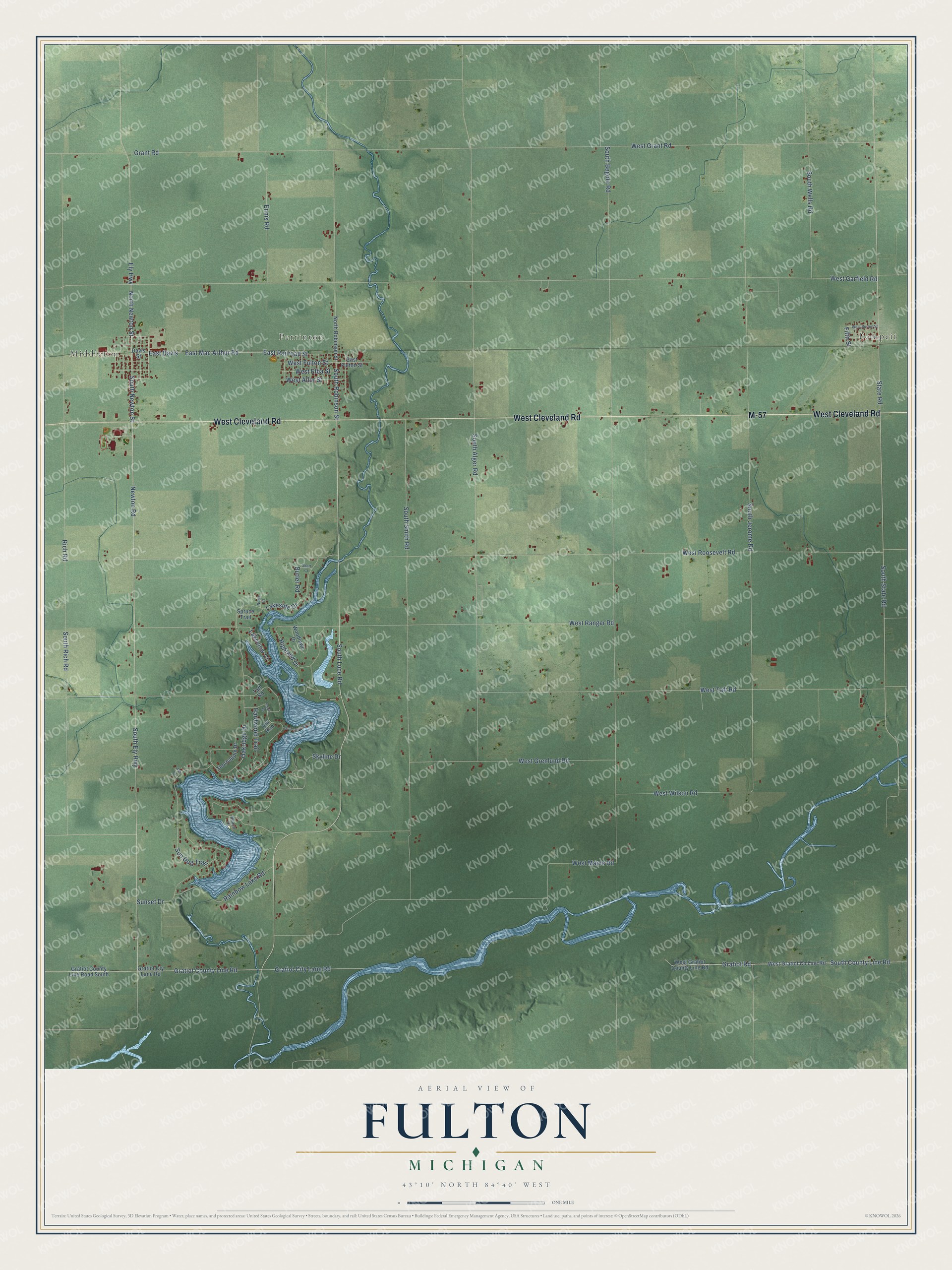
This beautifully detailed map of Fulton, Michigan was created in 2026 using aerial imagery combined with modern topographical, census, street and landmark data. It's a modern aerial view of Fulton in Gratiot County, Michigan, that combines modern data with a vintage aesthetic. The roads feature printed names, and if you look closely you can find your exact house accurately shown in its correct location.
Explore an aerial view of Fulton, Michigan
On this map you'll find Pompeii, Middleton, Perrinton, West Cleveland Road, M-57, South Ely Highway, Gratiot County Line Road, South Newton Street, South Luce Road, South Robinson Street, State Road, North Newton Street, and more. Each red shape is a building, so zoom in on the preview and look for yours.
Here is a piece of Fulton history, in the words of the record. The Gratiot County Historical and Biographical puts it this way: "Fulton was the first township of the county to secure a permanent settler. The township is described as town 9 north, range 3 west, and got its name from three brothers named Fulton who were the next settlers after Arnold Payne."
The Census Bureau counted 2,484 people here in 2020.
Take a closer look at the Fulton map
Names on this map
These names are printed on this map.
Places: Pompeii, Middleton and Perrinton.
Streets and roads: West Cleveland Road, M-57, South Ely Highway, Gratiot County Line Road, South Newton Street, South Luce Road, South Robinson Street, State Road, North Newton Street, Gratiot Road, South County Line Road, East Railroad Street.
More street names, A to Z
Ash Court, Beach Court, Butler Road, Davis Street, East Davis, East Fulton Street, East Mac Arthur Road, Ely Highway, Ennis Road, Fawn Drive, Fifth Street, Gold Dust Point, Grant Road, Gratiot City Lane Road, Gratiot County Line Road South, Gratiot Cty Lane Road, Hardwood Trail, Highland Drive, Hill Run, Lakeside Drive, Lakeview Court, Newton Road, North Court, North Robinson Street, Oakridge Drive, Rainbow Lake Road, Rich Road, Short Court, Skyline Drive, South Alger Road, South Begole Road, South Jerome Road, South Rich Road, South Smith Road, South State Road, South Wells Road, Spruce Trail, Sun Dog Trail, Sunset Drive, Taft Road, Thornapple Drive, West Allor Street, West Burton Street, West Elba Street, West Fulton Street, West Garfield Road, West Grant Road, West Gratiot County Line Road, West Grenlund Road, West Maple Road, West Ranger Road, West Roosevelt Road, West Taft Road, West Wilson Road, Woodlawn Drive.
Created by KNOWOL in 2026. The buildings are small red shapes, the roads carry their printed names, and shaded relief shows the shape of the land. The title panel reads "AERIAL VIEW OF FULTON, MICHIGAN" with 43°10' NORTH 84°40' WEST.
It suits a den, a classroom or a front hall, and it makes a gift for anyone with Fulton roots. Open the preview and find the block you know. See sizes and frames for the Fulton map.