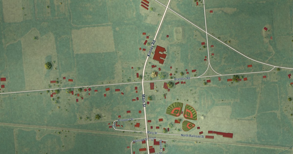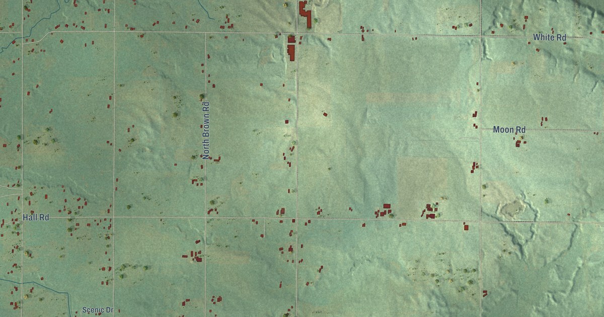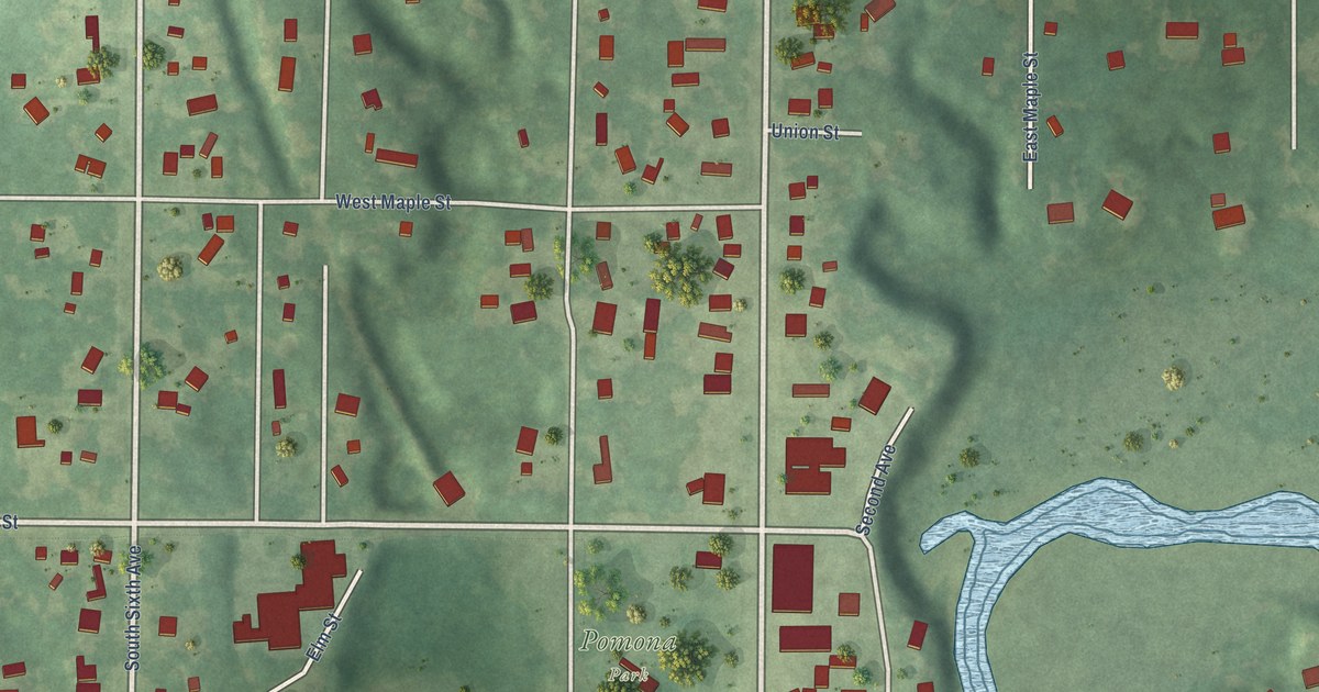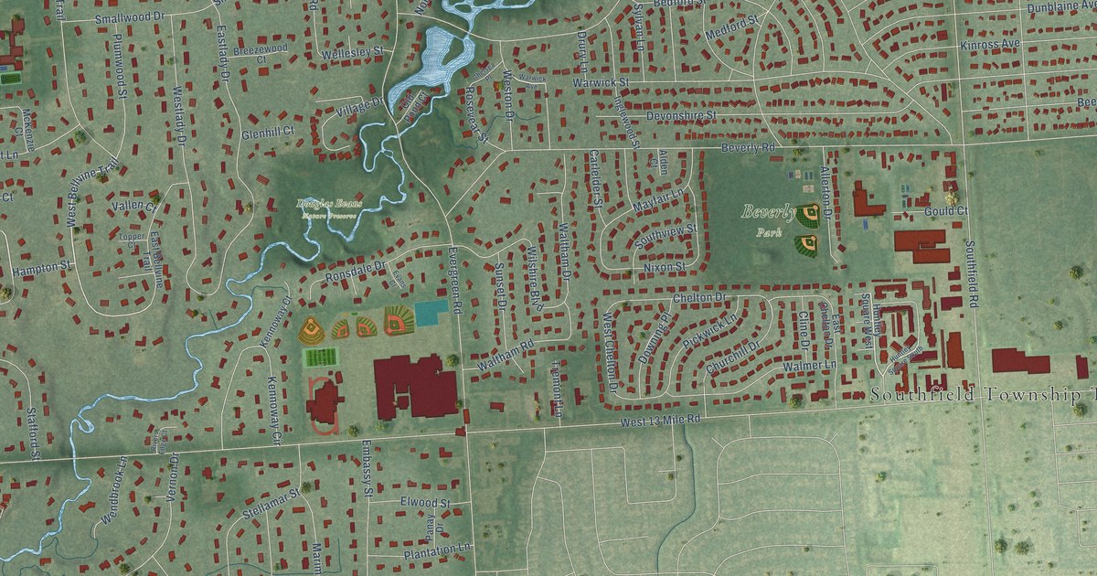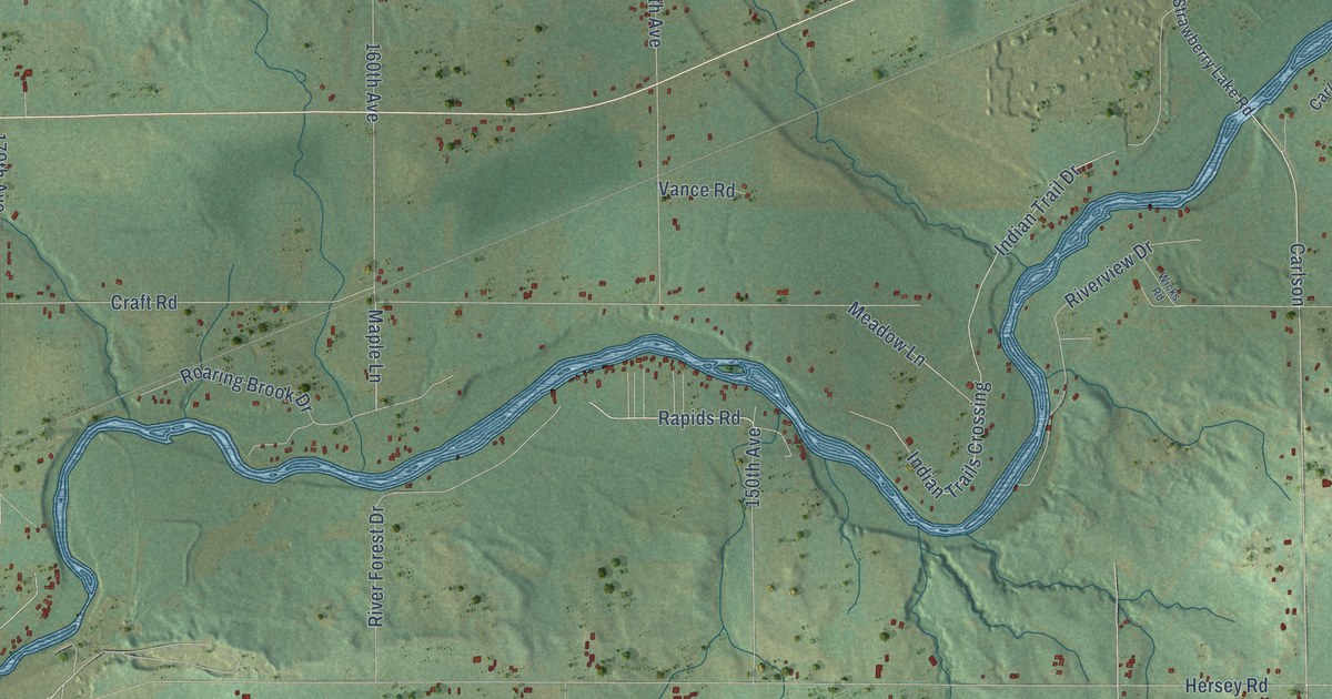
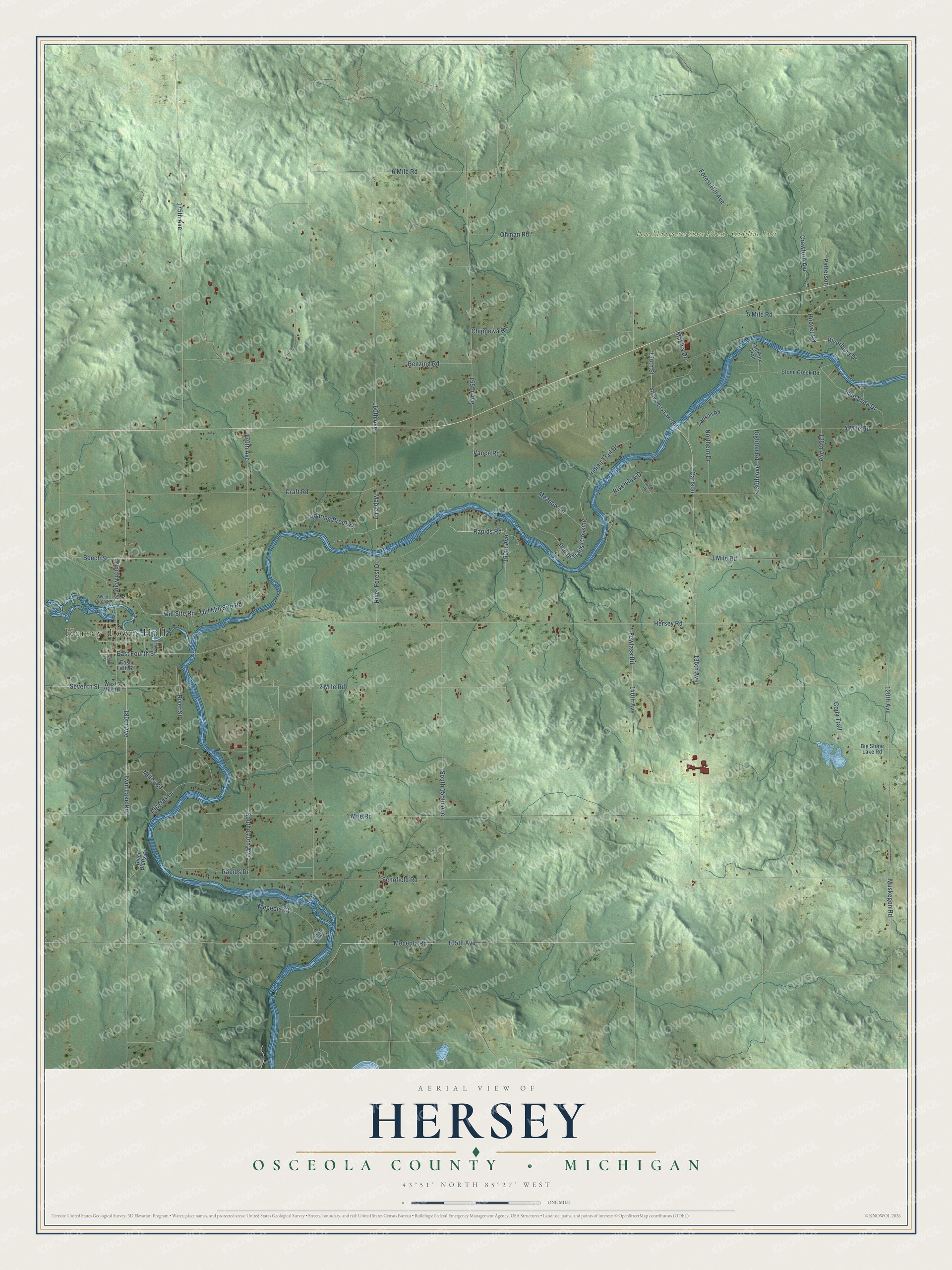
This beautifully detailed map of Hersey, Michigan was created in 2026 using aerial imagery combined with modern topographical, census, street and landmark data. It's a modern aerial view of Hersey in Osceola County, Michigan, that combines modern data with a vintage aesthetic. The roads feature printed names, and if you look closely you can find your exact house accurately shown in its correct location.
Explore an aerial view of Hersey, Michigan
On this map you'll find Hersey Town Hall, Pere Marquette State Forest – Cadillac Unit, 180th Avenue, Twin Lake Road, East Fourth Street, 165th Avenue, 135th Avenue, Meceola Road, Blue Vista Drive, 120th Avenue, Rapids Drive, Rapids Road, and more. Each red shape is a building, so zoom in on the preview and look for yours.
Hersey has a story worth telling. The Biographical Album of Osceola County puts it this way: "Hersey Township was named after Nathan Hersey, a trapper, who before 1843 came along up the Muskegon into this territory looking after his trapping interests."
The Census Bureau counted 1,941 people here in 2020.
Take a closer look at the Hersey map
Names on this map
These names are printed on this map.
Places: Hersey Town Hall and Pere Marquette State Forest - Cadillac Unit.
Streets and roads: 180th Avenue, Twin Lake Road, East Fourth Street, 165th Avenue, 135th Avenue, Meceola Road, Blue Vista Drive, 120th Avenue, Rapids Drive, Rapids Road, 5 Mile Road, Mill Site Road.
More street names, A to Z
1 Mile Road, 2 Mile Road, 3 Mile Road, 4 Mile Road, 6 Mile Road, 125th Avenue, 130th Avenue, 135th Street, 140th Avenue, 150th Avenue, 155th Avenue, 160th Avenue, 170th Avenue, 175th Avenue, Beech Street, Benzing Road, Big Oak Drive, Big Stone Lake Road, Carlson, Carlson Road, Chippewa Road, Cody Trail, Craft Road, Crawford Avenue, Deer Lane Drive, Dighton Road, East Fifth Street, Elm Street, Fewlass Road, Forest Hill Avenue, Hersey Road, Hoover Road, Indian Trail Drive, Indian Trails Crossing, Makwa Drive, Maple Lane, Meadow Lane, Meceola Court, Miller Road, Muskegon Road, Northern Drive, North Main Street, Ohman Road, Old Mill Site Road, Patterson, Riverbend Drive, River Bluffs Drive, River Forest Drive, River Street, Riverview Drive, Roaring Brook Drive, Schofield Road, Seventh Street, South 155th Avenue, South 170th Avenue, Stone Creek Road, Strawberry Lake Road, Tall Pine Trail, Vance Road, West 2 Mile Road, West Birch Street, Wicks Road, Wood Street.
Created by KNOWOL in 2026. The buildings are small red shapes, the roads carry their printed names, and shaded relief shows the shape of the land. The title panel reads "AERIAL VIEW OF HERSEY, OSCEOLA COUNTY • MICHIGAN" with 43°51' NORTH 85°27' WEST.
It looks right in a kitchen, an office or a den, and it's a gift for anyone who grew up in Hersey or moved away. Open the preview and find your street. See sizes and frames for the Hersey, Osceola County map.