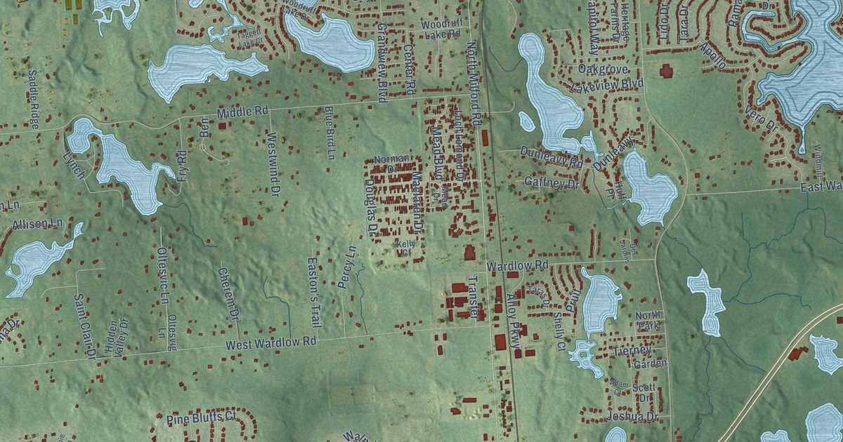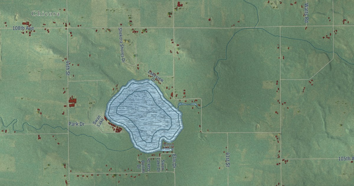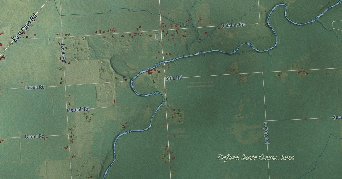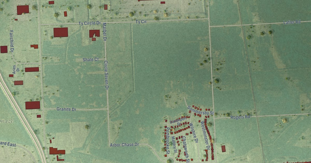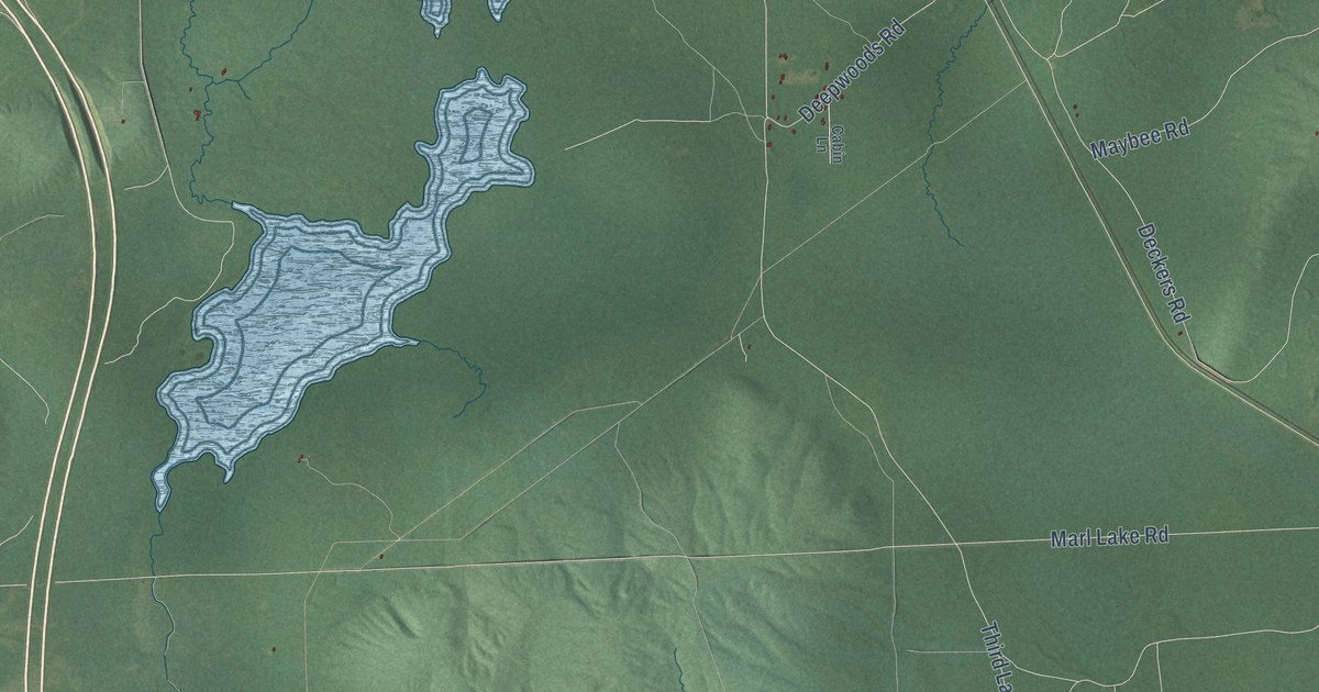
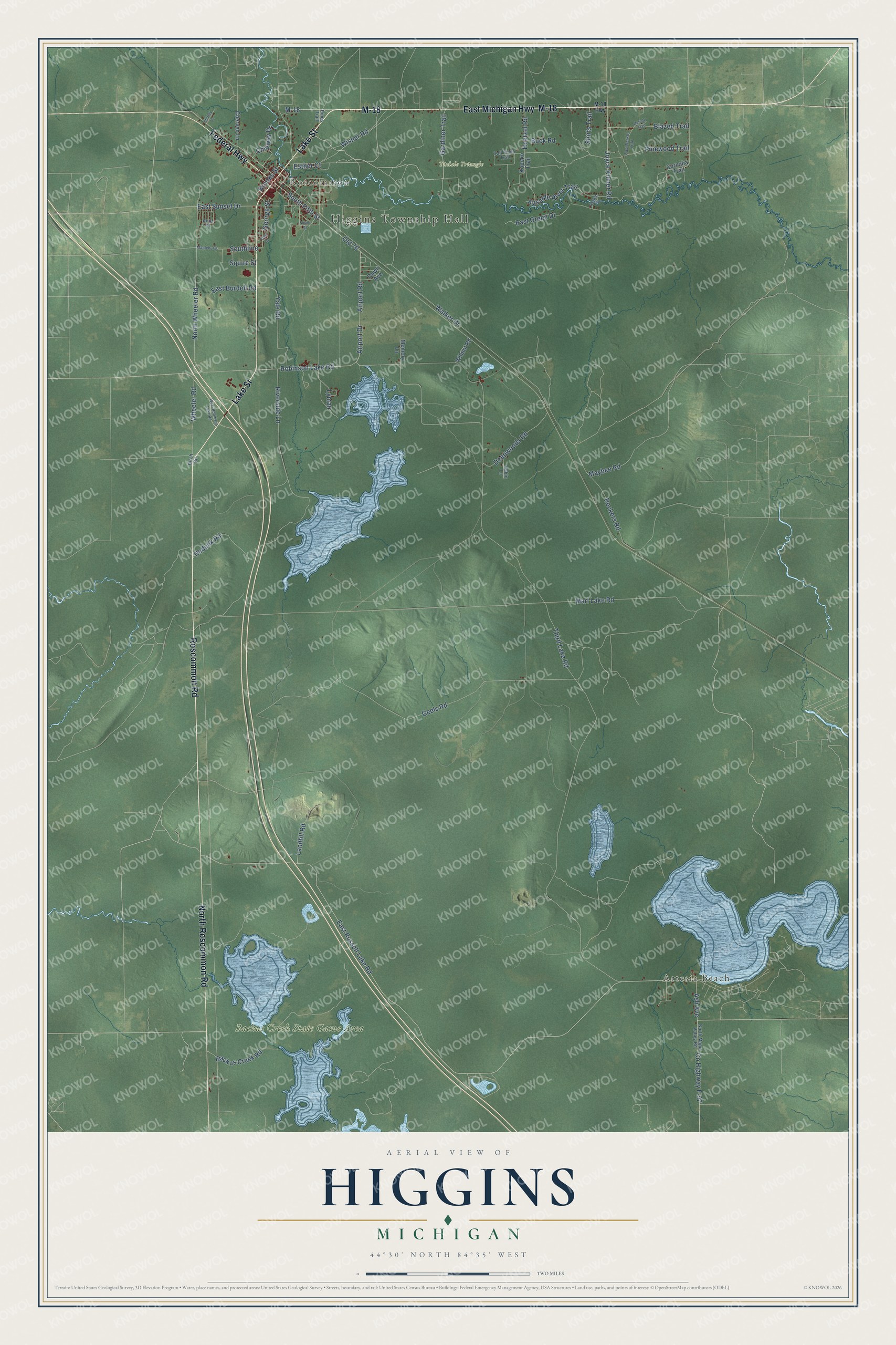
This beautifully detailed map of Higgins, Michigan was created in 2026 using aerial imagery combined with modern topographical, census, street and landmark data. It's a modern aerial view of Higgins in Roscommon County, Michigan, that combines modern data with a vintage aesthetic. The roads feature printed names, and if you look closely you can find your exact house accurately shown in its correct location.
Explore an aerial view of Higgins, Michigan
On this map you'll find Higgins Township Hall, Roscommon, Artesia Beach, Backus Creek State Game Area, Tisdale Triangle, East Michigan Highway, Lake Street, Roscommon Road, North Roscommon Road, M-18, Federal Highway, Gardiner Trail, and more. Each red shape is a building, so zoom in on the preview and look for yours.
Here is a piece of Higgins history, in the words of the record. The record at arcgis.com puts it this way: "Terney, lumber baron and Civil War veteran, moved to the Roscommon area in 1887 and erected this house in the late 1880s."
The Census Bureau counted 1,864 people here in 2020.
Take a closer look at the Higgins map
Names on this map
These names are printed on this map.
Places: Higgins Township Hall, Roscommon, Artesia Beach, Backus Creek State Game Area and Tisdale Triangle.
Streets and roads: East Michigan Highway, Lake Street, Roscommon Road, North Roscommon Road, M-18, Federal Highway, Gardiner Trail, Hoetzel Road, South Fifth Street, Old 76, Airport Road, Airport Drive.
More street names, A to Z
Acre Court, Ash Avenue, Aspen Drive, Ausable River Trail, Backus Creek Road, Birch Road, Blazed Trail, Brooks Street, Buck Road, Cabin Lane, Cherven Lane, Chipway Drive, County Highway F-97, Curnalia Trail, Dawn Avenue, Deckers Road, Deepwoods Road, Delisle Trail, East Burdell Road, East Delisle Trail, East Green Drive, East Russell Lake Road, East Sunset Drive, Esther Court, Geels Road, George Street, Hodunk Road, Joyce Kilmer Road, Kopoko Trail, Landfill Road, Lyman, M-18 Highway, Maplehurst, Marl Lake Road, Maybee Road, Memory Lane, North Maple Valley Road, North Wheeler Road, Oak Drive, Pines Trail, Pinewood Trail, Riverside Lane, Robinson Lake Road, Shirley Lane, Shirts Trail, Southline, South Street, Squire Street, Tall Pines Trail, Third Lake Road, Walker Drive, West Robinson Lake Road, Wheeler Road, Wilmot Road, Wisner Road, Yale Road.
Created by KNOWOL in 2026. The buildings are small red shapes, the roads carry their printed names, and shaded relief shows the shape of the land. The title panel reads "AERIAL VIEW OF HIGGINS, MICHIGAN" with 44°30' NORTH 84°35' WEST.
It suits a den, a classroom or a front hall, and it makes a gift for anyone with Higgins roots. Open the preview and find the block you know. See sizes and frames for the Higgins map.