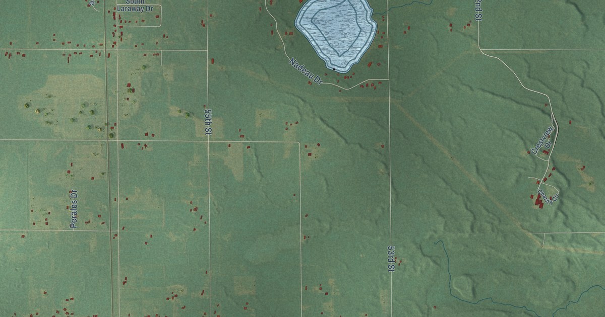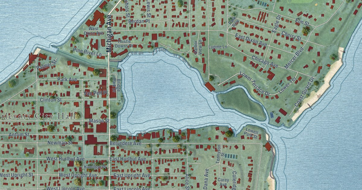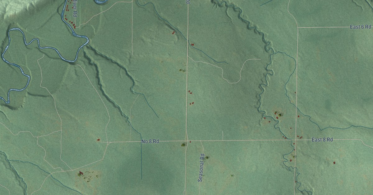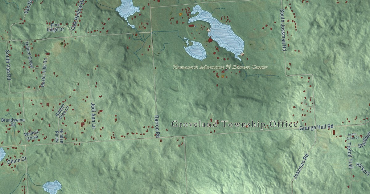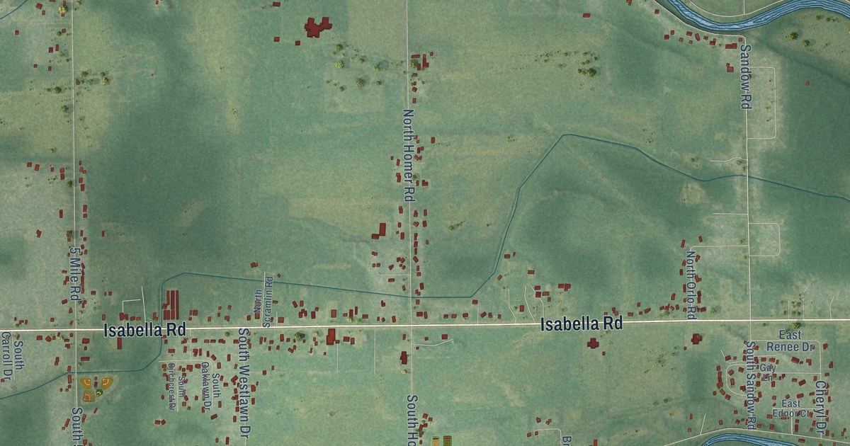
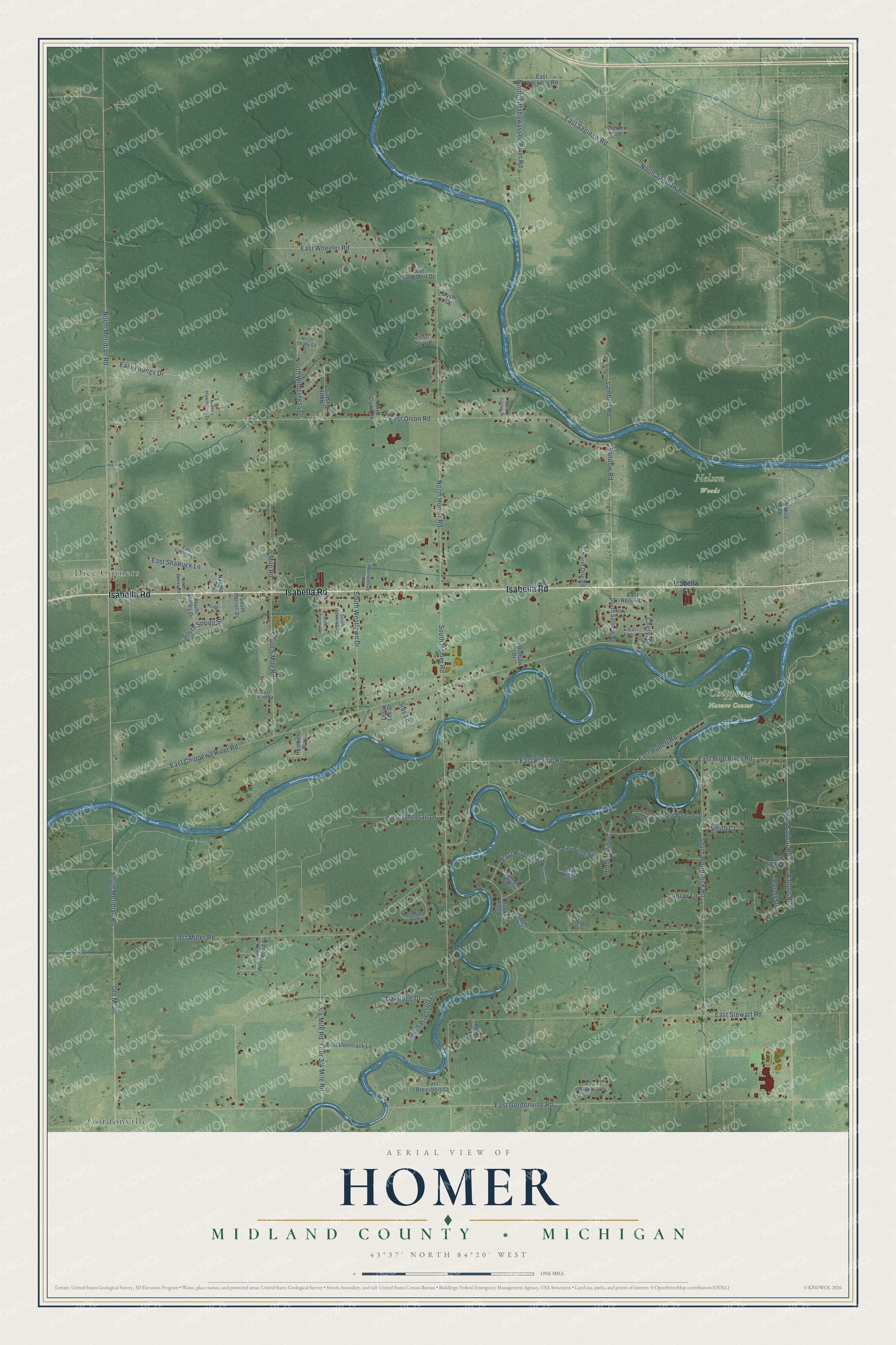
This beautifully detailed map of Homer, Michigan was created in 2026 using aerial imagery combined with modern topographical, census, street and landmark data. It's a modern aerial view of Homer in Midland County, Michigan, that combines modern data with a vintage aesthetic. The roads feature printed names, and if you look closely you can find your exact house accurately shown in its correct location.
Explore an aerial view of Homer, Michigan
On this map you'll find Chippewa Nature Center, Nelson Woods, Dice Corners, Gordonville, Isabella Road, Sandow Road, North Meridian Road, Old M-30, South Homer Road, East Pine River Road, East Chippewa River Road, East Gordonville Road, and more. Each red shape is a building, so zoom in on the preview and look for yours.
Homer has a story worth telling. The Biographical Album of Midland County puts it this way: "The Tittabawassee, Chippewa and Pine flow across Homer, the first forming part of the township line between Lincoln and Homer, the other two flowing northeast and uniting with the first in the township of Midland."
The Census Bureau counted 3,993 people here in 2020.
Take a closer look at the Homer map
Names on this map
These names are printed on this map.
Places: Chippewa Nature Center, Nelson Woods, Dice Corners and Gordonville.
Streets and roads: Isabella Road, Sandow Road, North Meridian Road, Old M-30, South Homer Road, East Pine River Road, East Chippewa River Road, East Gordonville Road, South Meridian Road, East Olson Road, East Miller Road, North Tittabawassee River Road.
More street names, A to Z
5 Mile Road, Badour Road, Bent Tree Circle, Brabaw Drive, Cheryl Drive, Crooked Tree, Crooked Tree Lane, Dryer Drive, East Breasbois Court, East Conklin Lane, East Deertrack Lane, East Eagle Pass, East Ednor Court, East Hubert Road, East King Court, East Lori Court, East Nature Lane, East Noyes Drive, East Oakwood Terrace, East Pangborn Drive, East Prairie Road, East Putnam Circle, East Putnam Drive, East Renee Drive, East Riverchase, East Saginaw Road, East Shattuck Lane, East Stewart Road, East Wackerly Road, East Wheeler Road, East Whitetail Drive, East Youngs Drive, Gay Lane, Heathers Way, Herbert Road, Hidden Ridge, Isabella Street, Lambert Road, Lancer Lane, Leslie Lee Drive, Midnight Pass, Mystic Cr, Naugle Drive, North Baker Road, North Clyde Road, North Costley Drive, North Hawthorne Drive, North Homer Road, North Orlo Road, North Rustic Drive, North Saginaw Road, North Scramlin Road, North Shady Lane, North Wilderness Drive, Oakridge Drive, Red Oak Lane, Rosewood Boulevard, Sias Lane, Smith Court, South 5 Mile Road, South Badour Road, South Birchcrest Drive, South Carroll Drive, South Oaklawn Drive, South Pinecroft Lane, South Sandow Road, South Seeley Drive, South Spring Street, South Westlawn Drive, South Westwood Drive, South Windcrest Drive, South Woodcock Road, Stormy Drive, Throw Ridge, Vance Road.
Created by KNOWOL in 2026. The buildings are small red shapes, the roads carry their printed names, and shaded relief shows the shape of the land. The title panel reads "AERIAL VIEW OF HOMER, MIDLAND COUNTY • MICHIGAN" with 43°37' NORTH 84°20' WEST.
It looks right in a kitchen, an office or a den, and it's a gift for anyone who grew up in Homer or moved away. Open the preview and find your street. See sizes and frames for the Homer, Midland County map.