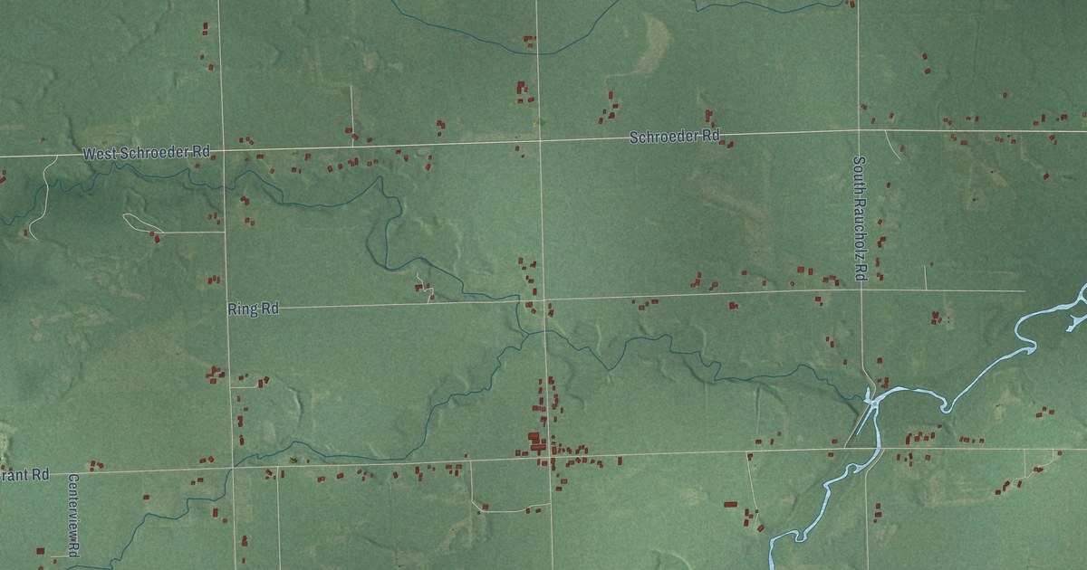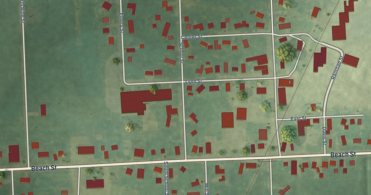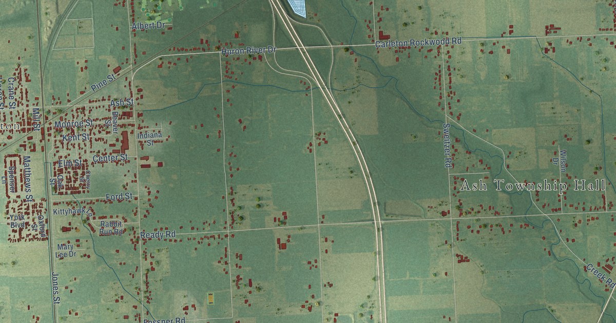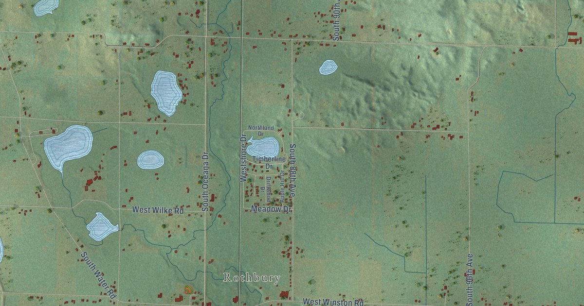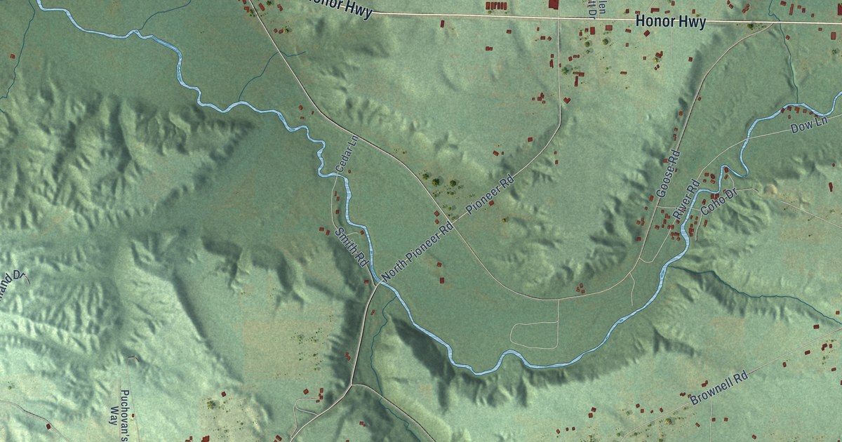
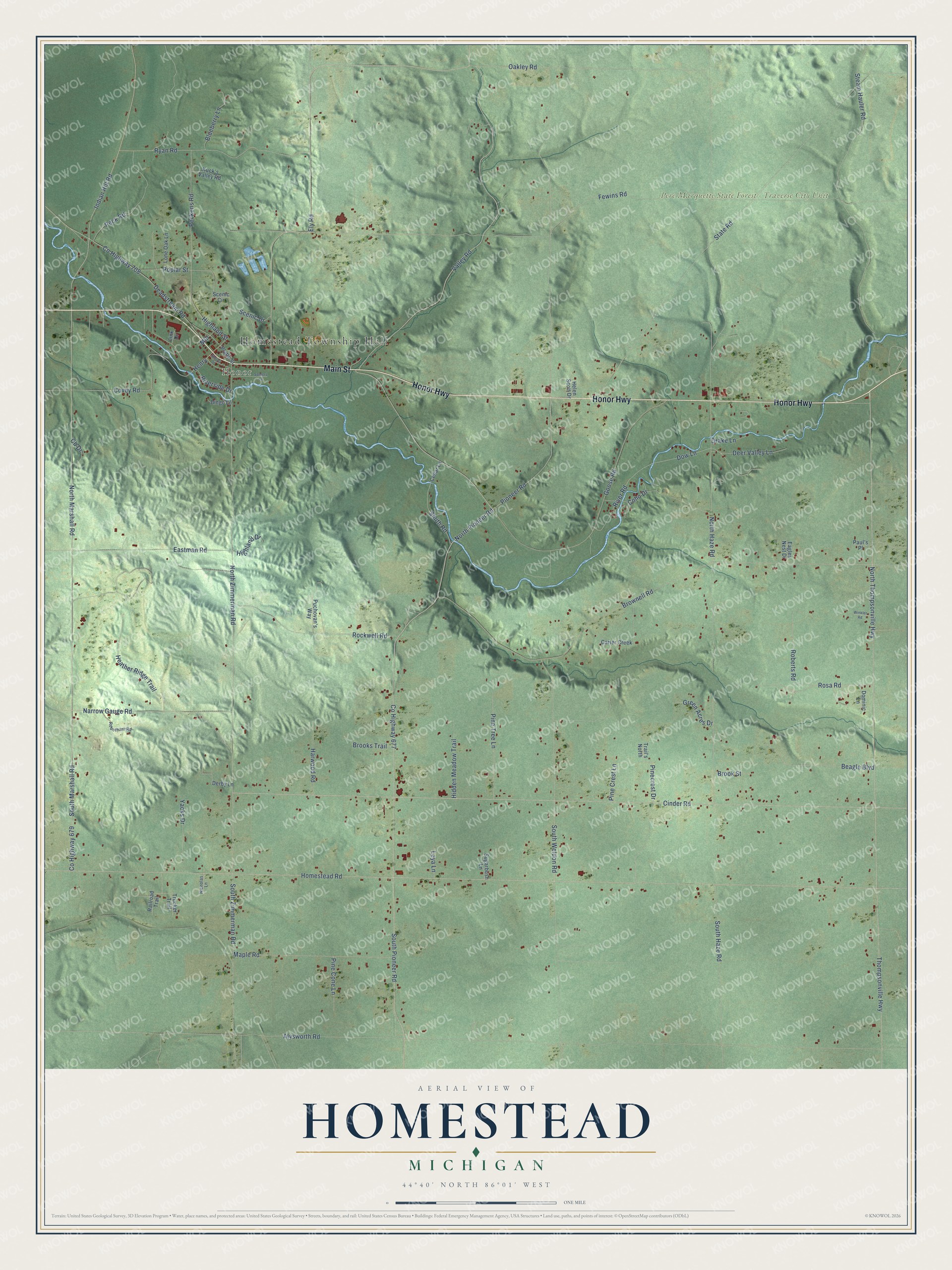
This beautifully detailed map of Homestead, Michigan was created in 2026 using aerial imagery combined with modern topographical, census, street and landmark data. It's a modern aerial view of Homestead in Benzie County, Michigan, that combines modern data with a vintage aesthetic. The roads feature printed names, and if you look closely you can find your exact house accurately shown in its correct location.
Explore an aerial view of Homestead, Michigan
On this map you'll find Homestead Township Hall, Honor, Pere Marquette State Forest – Traverse City Unit, Honor Highway, Main Street, North Thompsonville Highway, North Marshall Road, North Pioneer Road, Pioneer Road, South Pioneer Road, Highland Street, North Zimmerman Road, and more. Each red shape is a building, so zoom in on the preview and look for yours.
Here is a piece of Homestead history, in the words of the record. The Traverse Region puts it this way: "September 8, 1864, the Congregational Church in Homestead was organized and became an auxiliary of the college in the religious activities of the county."
The Census Bureau counted 2,329 people here in 2020.
Take a closer look at the Homestead map
Names on this map
These names are printed on this map.
Places: Homestead Township Hall, Honor and Pere Marquette State Forest - Traverse City Unit.
Streets and roads: Honor Highway, Main Street, North Thompsonville Highway, North Marshall Road, North Pioneer Road, Pioneer Road, South Pioneer Road, Highland Street, North Zimmerman Road, County Highway 677, Henry, South Zimmerman Road.
More street names, A to Z
Alysworth Road, Beagle Boulevard, Bingo Lane, Blueberry Lane, Brooks Trail, Brook Street, Brownell Road, Carter Creek, Cb Drive, Cedar Lane, Cinder Road, Coho Drive, County Highway 679, County Highway 708, Covey Road, Deadstream Road, Deer Valley Lane, Derby Lane, Dominic Lane, Dow Lane, Drake Lane, Eagles Nest Drive, Eastman Road, Ely Road, Fewins Road, Goose Road, Green Acres Drive, Harwood Road, Heather Ridge Trail, Helen Scott Drive, Hidden Meadow Trail, Highland Drive, Homestead Road, Indian Hill Road, Kuck's Valley Road, Leya Lane, Link Drive, Lone Oak Lane, Maple Road, Mill, Narrow Gauge Road, Nicholas Lane, North Haze Road, Oakley Road, Paul's Place, Peckens Road, Peck Road, Pine Cone Lane, Pinecrest Drive, Pine Crest Lane, Pine Tree Lane, Platte Street, Poplar Street, Puchovan's Way, Railroad Trail, River Road, Riverside Drive, Roberts Road, Robotham Road, Rockwell Road, Rosa Road, Ryan Road, Scenic Circle, Scenic Drive, Smith Road, Somers Lane, South Haze Road, South Marshall Road, South Weldon Road, Stacey Street, State Road, Steam Hauler Road, Sugarbush Lane, Thompsonville Highway, Trail's North, Trucker Trail, Valley Road, Winkler Road, Yacks Drive.
Created by KNOWOL in 2026. The buildings are small red shapes, the roads carry their printed names, and shaded relief shows the shape of the land. The title panel reads "AERIAL VIEW OF HOMESTEAD, MICHIGAN" with 44°40' NORTH 86°01' WEST.
It suits a den, a classroom or a front hall, and it makes a gift for anyone with Homestead roots. Open the preview and find the block you know. See sizes and frames for the Homestead map.