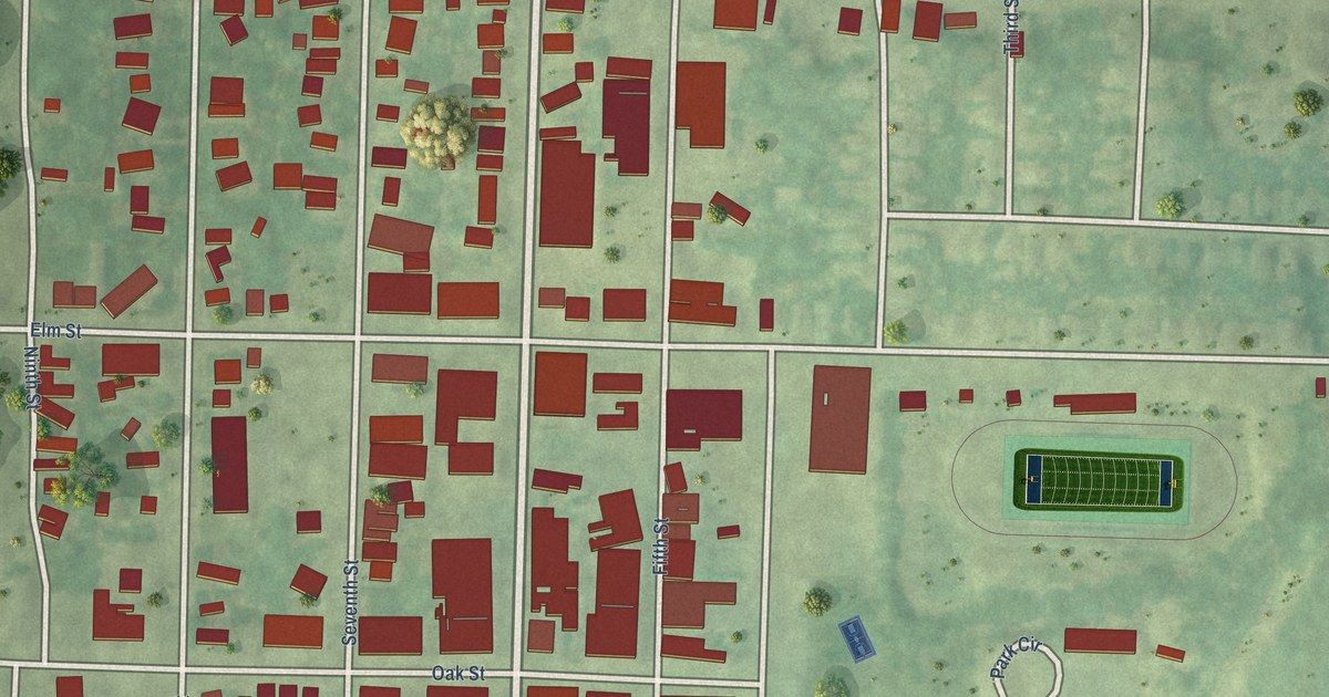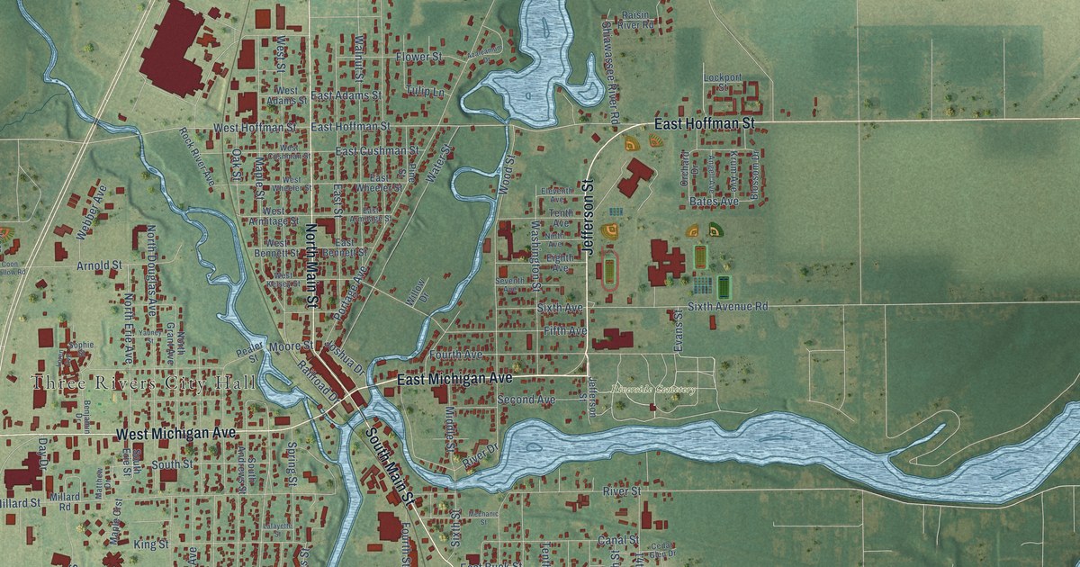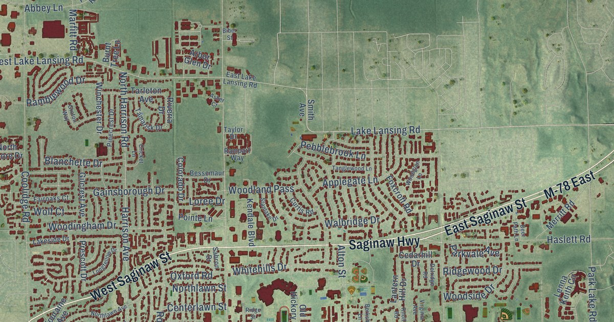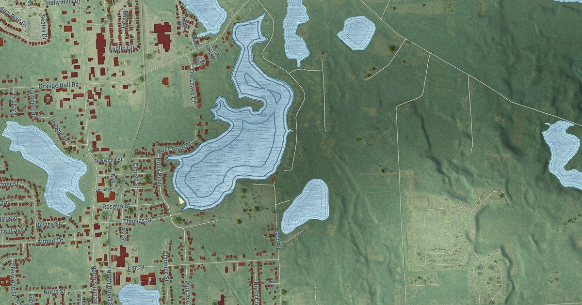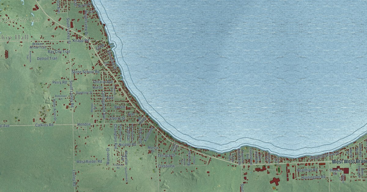
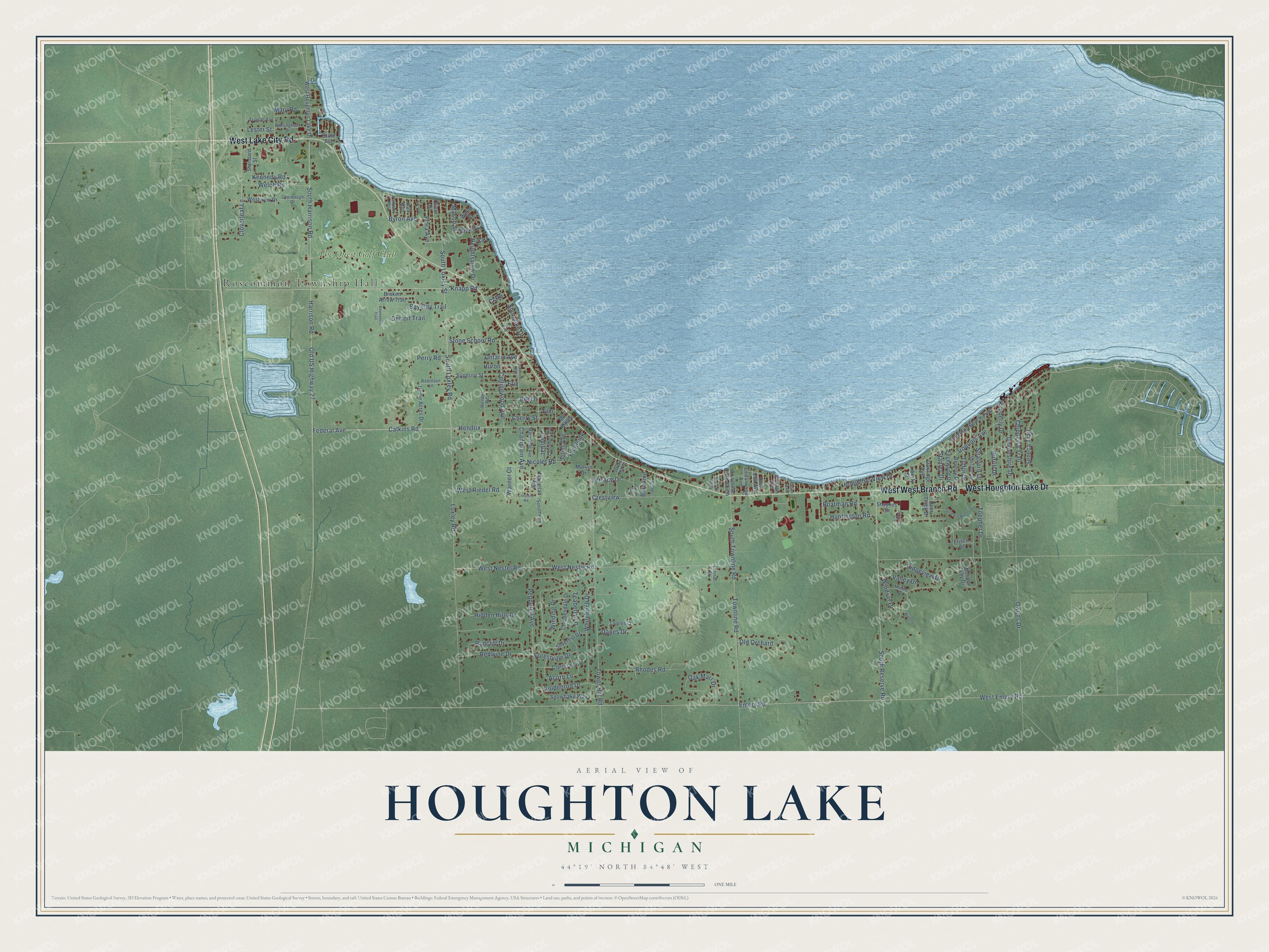
This beautifully detailed map of Houghton Lake, Michigan was created in 2026 using aerial imagery combined with modern topographical, census, street and landmark data. It's a modern aerial view of Houghton Lake in Roscommon County, Michigan, that combines modern data with a vintage aesthetic. The roads feature printed names, and if you look closely you can find your exact house accurately shown in its correct location.
Explore an aerial view of Houghton Lake, Michigan
On this map you'll find Roscommon Township Hall, The Quest Golf Club, West Houghton Lake Drive, West Lake City Road, Knapp Road, Calkins Road, South Loxley Road, Stanley Drive, South Reserve Road, Cloverleaf Lane, Toepher Drive, South Harrison Road, and more. Each red shape is a building, so zoom in on the preview and look for yours.
Here is a piece of Houghton Lake history, in the words of the record. The Roscommon County MIGenWeb puts it this way: "In 1877 the Village of Houghton Lake was described as follows: The county seat of Roscommon County, a place of 20 population, settled in 1873."
Houghton Lake is a community in Roscommon County. The Census Bureau counted 5,294 people here in 2020.
Take a closer look at the Houghton Lake map
Names on this map
These names are printed on this map.
Places: Roscommon Township Hall and The Quest Golf Club.
Streets and roads: West West Branch Road, West Houghton Lake Drive, West Lake City Road, Knapp Road, Calkins Road, South Loxley Road, Stanley Drive, South Reserve Road, Cloverleaf Lane, Toepher Drive, South Harrison Road, Windsor Drive.
More street names, A to Z
Acorn Lane, Barcome, Bay City Trail, Beech, Beverly Drive, Boatman Road, Broken Arrow Trail, Brown Street, Burrill Drive, Byron Avenue, Cadillac, Carl, Carman, Cass Street, Cedarwood Avenue, Champlain Avenue, Charles Court, Cherry Street, Chippendale Drive, Chippewa Trail, Clare, Clarissa Lane, Collingwood Avenue, Columbus Avenue, Corral Street, Crawford Avenue, Crestline Road, Crestview, Crown Avenue, Danes Drive, Deer Track Drive, Detroit Trail, Devonshire Drive, Edgewood Drive, Elm, Emery Road, Erie, Federal Avenue, Fisher, Flora Avenue, Forestville Drive, Frisco Drive, Goldenrod Drive, Grand Hill Drive, Hall Avenue, Harrison Road, Harvey Avenue, Heightsview Drive, Hendrix, Hidden Hills Drive, Home Acres Drive, Houghton Beach Trail, Houghton View Drive, Huntington Road, Huron, Iroquois Avenue, Joliet Avenue, Kennedy Road, Keweenaw Trail, Kimberly Drive, Knollside, Lester Street, Liberty Street, Loxley Road, Magellan Avenue, Marquette Avenue, Marvin Drive, Mary Road, Mason Street, Mc Kinley, Middle Drive, Nicolet Road, Nottingham Drive, Oak Marr Drive, Oakridge Avenue, Old Orchard, Old US Highway 27, Oliver Drive, Ontario Avenue, Overbaugh Drive, Owens Drive, Parkway Avenue, Pepperell Avenue, Perry Road, Radcliff Drive, Redwine Drive, Rhodes Road, Ridgeview Drive, Robinson Lane, Sand Hill Manor Drive, Seneca Trail, Shayne Circle, Shaynes Circle, Sheridan Drive, Shoreline Drive, Silverhill Drive, Snowflake Way, Soouthview, South Loxley Street, South Townline Road, Standard Street, State Avenue, Stone School Road, Stratford Drive, Superior Street, Teaberry Lane, Terrace Drive, Tin Pan Alley, Tower Hill Road, Townline Road, Townline Road South, Truman Avenue, Tudor Drive, Twin Elm Avenue, Valley Drive, Warner Court, Welch Road, Wells Street, Wendel Road, West Emery Road, West Nestel Road, West Nestle Road, West Riedel Road, Westview Drive, Whitebirch Drive, Wickham Avenue, Winding Drive, Windsor, Wooden Key Drive.
Created by KNOWOL in 2026. The buildings are small red shapes, the roads carry their printed names, and shaded relief shows the shape of the land. The title panel reads "AERIAL VIEW OF HOUGHTON LAKE, MICHIGAN" with 44°19' NORTH 84°48' WEST.
It suits a den, a classroom or a front hall, and it makes a gift for anyone with Houghton Lake roots. Open the preview and find the block you know. See sizes and frames for the Houghton Lake map.