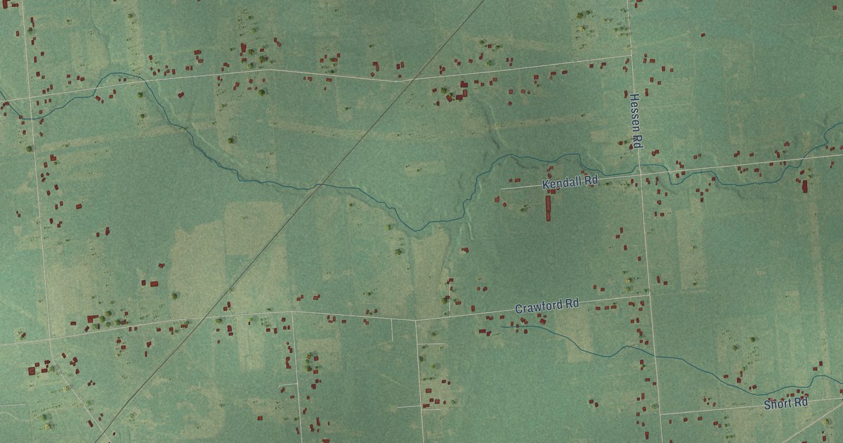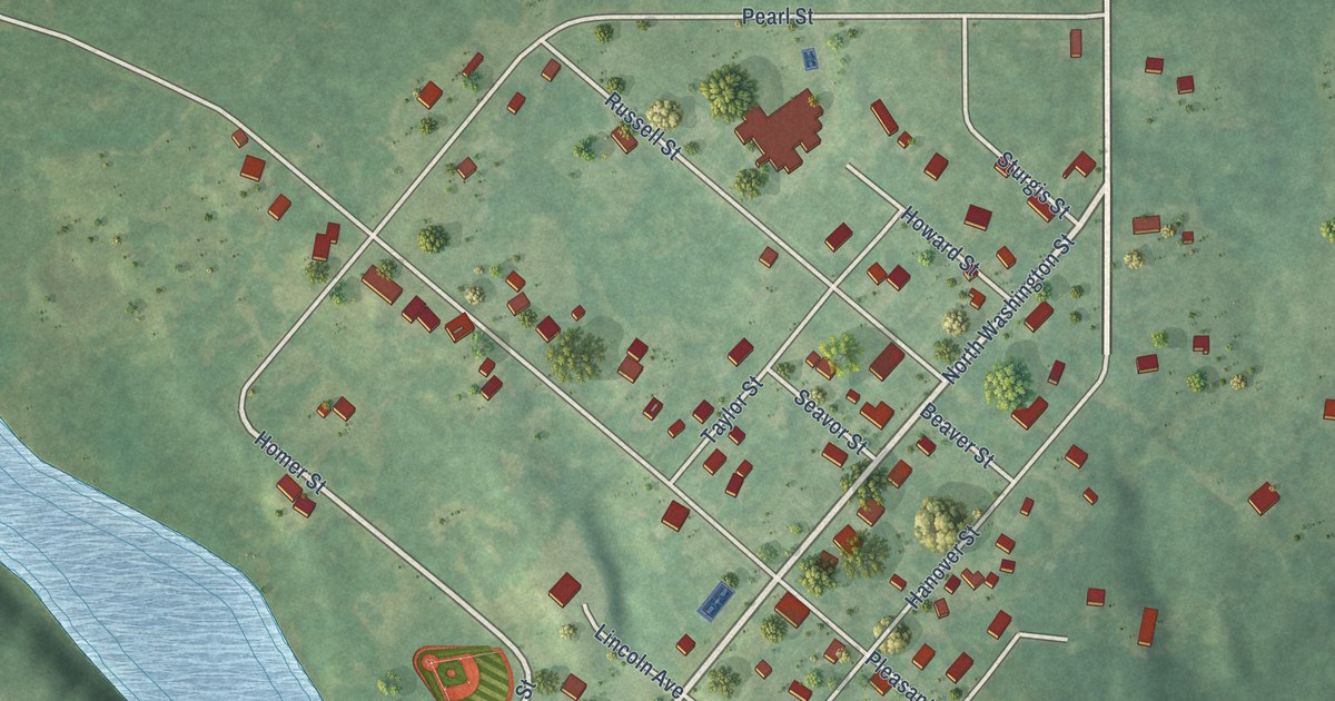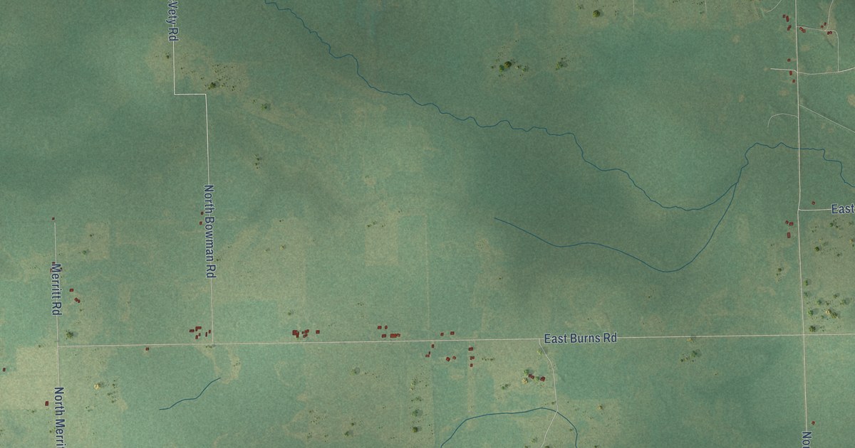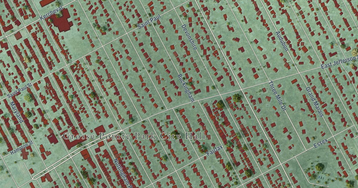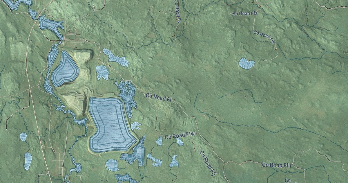
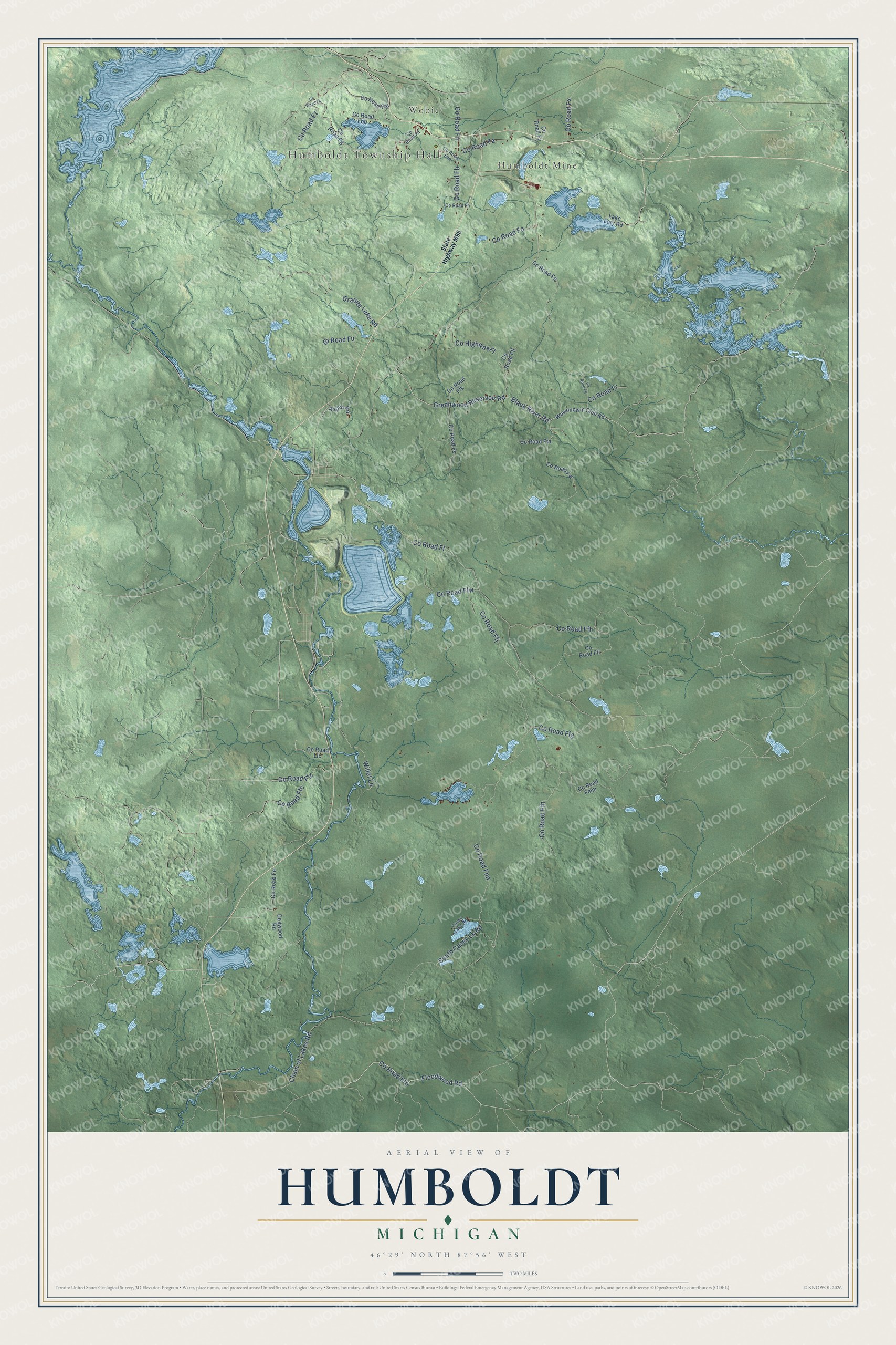
This beautifully detailed map of Humboldt, Michigan was created in 2026 using aerial imagery combined with modern topographical, census, street and landmark data. It's a modern aerial view of Humboldt in Marquette County, Michigan, that combines modern data with a vintage aesthetic. The roads feature printed names, and if you look closely you can find your exact house accurately shown in its correct location.
Explore an aerial view of Humboldt, Michigan
On this map you'll find Humboldt Township Hall, Wobic, Humboldt Mine, Co Road Ffo, Floodwood Road, Black River Road, Greenwood Reservoir Road, Co Road Ff, Willet Lane, Co Road Fnn, Co Road Fx, Chain of Lakes Road, and more. Each red shape is a building, so zoom in on the preview and look for yours.
Every town has a first chapter, and Humboldt is no exception. The History of the Northern Peninsula of Michigan puts it this way: "The Washington Iron Company, organized in the summer of 1864, was the mother of Humboldt, the mining settlement on the Duluth, South Shore & Atlantic line, a few miles southeast of Champion."
The Census Bureau counted 413 people here in 2020.
Take a closer look at the Humboldt map
Names on this map
These names are printed on this map.
Places: Humboldt Township Hall, Wobic and Humboldt Mine.
Streets and roads: County Road Ffo, Floodwood Road, Black River Road, Greenwood Reservoir Road, County Road Ff, Willet Lane, County Road Fnn, County Road Fx, Chain of Lakes Road, County Road Ffg, County Road Ffj, County Road Ffn.
More street names, A to Z
Aspen Road, Casey Lake Road, County Highway Fl, County Road Fa, County Road Fb, County Road Fbb, County Road Fd, County Road Fe, County Road Ffa, County Road Ffb, County Road Ffc, County Road Ffh, County Road Ffi, County Road Ffk, County Road Ffl, County Road Ffw, County Road Ffz, County Road Fg, County Road Fh, County Road Fk, County Road Fmm, County Road Fn, County Road Fno, County Road Fo, County Road Fp, County Road Fq, County Road Fr, County Road Fs, County Road Fu, County Road Fw, County Road Fy, County Road Fz, County Road Llc, Dogwood Road, Granite Lake Road, Lake Lory Road, South Casey Lk Road, State Highway M95, Wawonowin Club Road.
Created by KNOWOL in 2026. The buildings are small red shapes, the roads carry their printed names, and shaded relief shows the shape of the land. The title panel reads "AERIAL VIEW OF HUMBOLDT, MICHIGAN" with 46°29' NORTH 87°56' WEST.
Hang it in the hallway, the office or the cabin, or give it to someone who left Humboldt and still calls it home. Open the preview and look for a street you know. See sizes and frames for the Humboldt map.