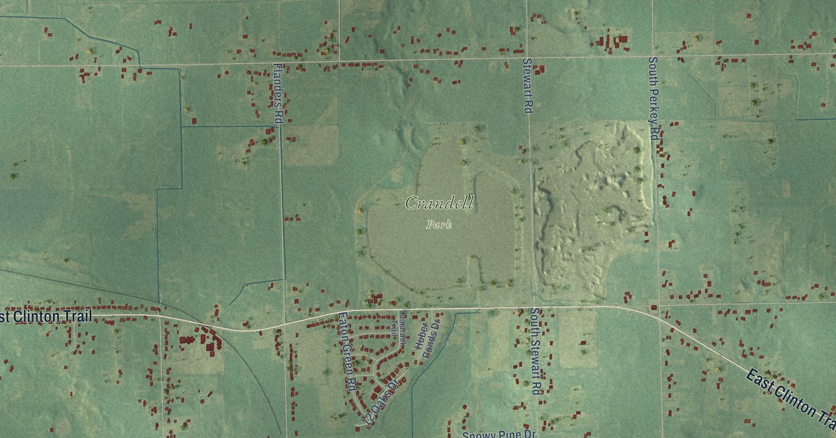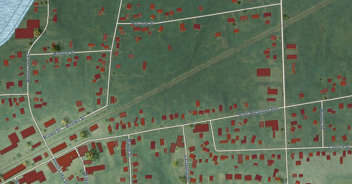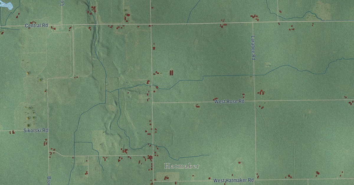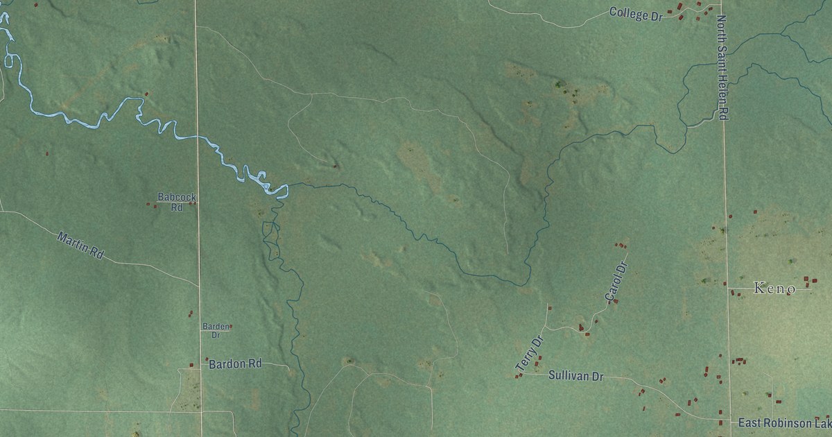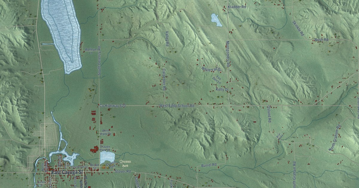
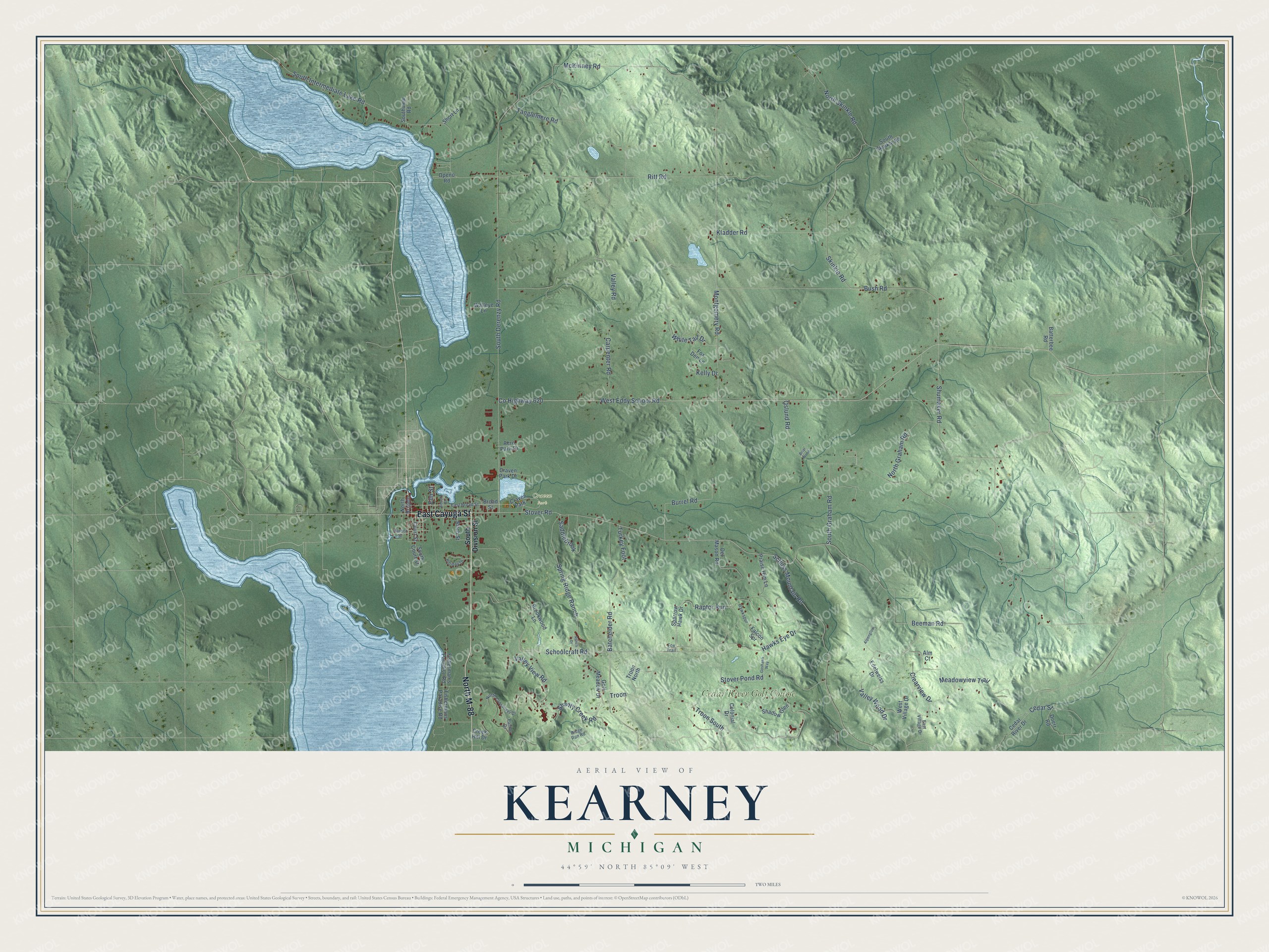
This beautifully detailed map of Kearney, Michigan was created in 2026 using aerial imagery combined with modern topographical, census, street and landmark data. It's a modern aerial view of Kearney in Antrim County, Michigan, that combines modern data with a vintage aesthetic. The roads feature printed names, and if you look closely you can find your exact house accurately shown in its correct location.
Explore an aerial view of Kearney, Michigan
On this map you'll find Craven Park, Cedar River Golf Course, East Cayuga Street, North M-88, Stover Road, Troon South, Beeman Road, Cedar Street, Co Highway 620, West Eddy School Road, South Derenzy Road, Oslund Road, and more. Each red shape is a building, so zoom in on the preview and look for yours.
Kearney has a story worth telling. The record at arcgis.com puts it this way: "The first pioneers of Antrim County settled along Grand Traverse Bay near Elk Rapids in the 1850s."
The Census Bureau counted 1,780 people here in 2020.
Take a closer look at the Kearney map
Names on this map
These names are printed on this map.
Places: Craven Park and Cedar River Golf Course.
Streets and roads: East Cayuga Street, North M-88, Stover Road, Troon South, Beeman Road, Cedar Street, County Highway 620, West Eddy School Road, South Derenzy Road, Oslund Road, Shanty Creek Road, Montgomery Road.
More street names, A to Z
Aero Park Drive, Alm Court, Alpenglow, Batchelder Road, Batterbee Road, Beech Street, Birch Street, Briar Wood, Broad Street, Brookwood Lane, Burrel Road, Bush Road, Carpenter Road, Cedar River Drive, Clearview Drive, Colonial Drive, Court Street, Craven Park Drive, Creek Hill Drive, Del Mason Road, Doerr Road, East Broad Street, East Village Drive, Edelweiss Drive, Elm Street, Falcon Spr, Fisherman's Paradise Road, Fishermans Paradise Road, Fox Den Lane, Fox Trail, Golf Meadow Drive, Goshawk Way, Harbor Street, Hawks Eye Drive, Hawkspur, Holiday Drive, Kelly Drive, Kladder Road, McKinney Road, Meadowview Trail, North Brigeln, North Crossover Drive, North Graham Road, North Skinkle Road, Openo Road, Palmer Drive, Praise Him Lane, Ranch Drive, Raptor Run, Ridge Run Road, Ritt Road, Saddlebrook, Schoolcraft Road, Schuss Mountain Road, Shadow Glen, Short Lane, Shumaker Road, Skinkle Road, South Court Street, South Division Street, South Graham Road, South Intermediate Lake Road, South Skinkle Road, Southview Road, Sparrow Hawk Drive, Spring Ridge Ranch, Stover Pond Road, Tanglemere Road, Troon, Troon North, Turkey Foot, Valley Road, Valley View Road, Valley Wood Drive, Walleye Lane, West Village Drive, White Tail Drive.
Created by KNOWOL in 2026. The buildings are small red shapes, the roads carry their printed names, and shaded relief shows the shape of the land. The title panel reads "AERIAL VIEW OF KEARNEY, MICHIGAN" with 44°59' NORTH 85°09' WEST.
It looks right in a kitchen, an office or a den, and it's a gift for anyone who grew up in Kearney or moved away. Open the preview and find your street. See sizes and frames for the Kearney map.