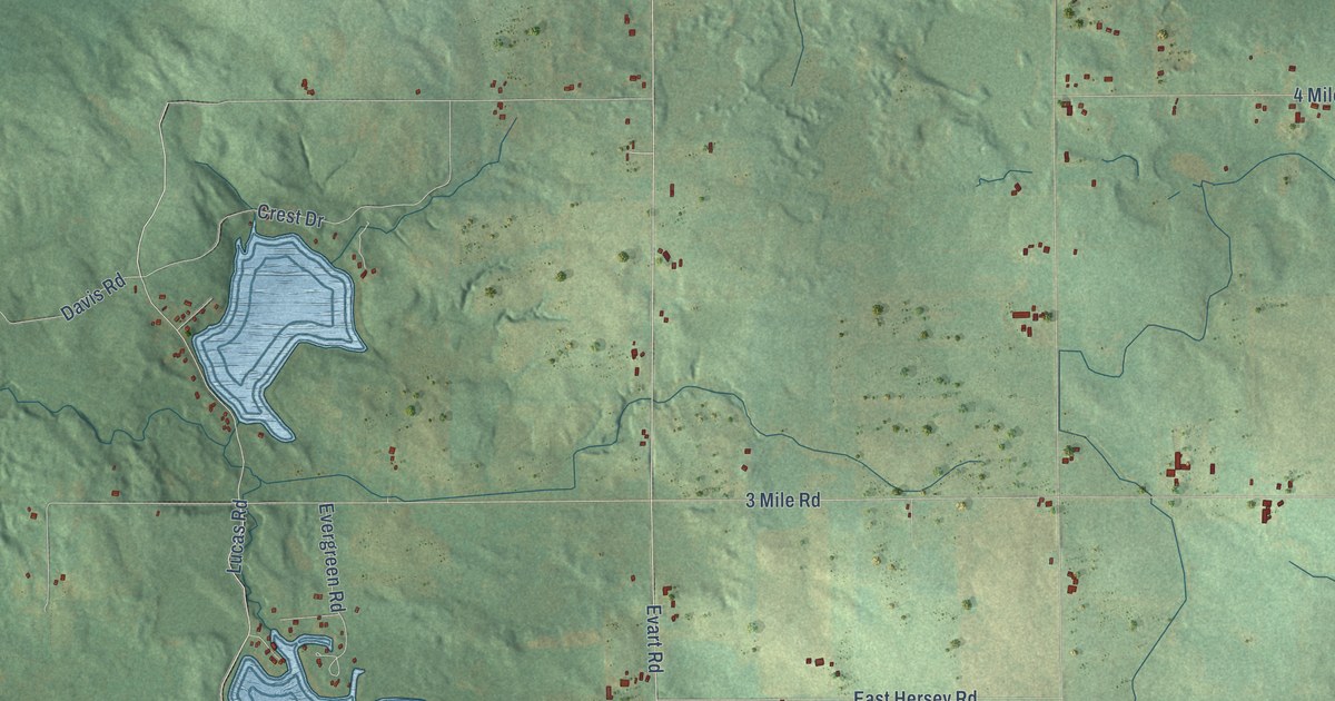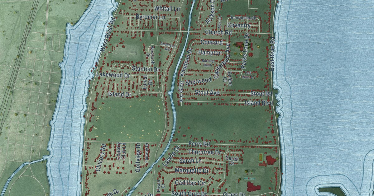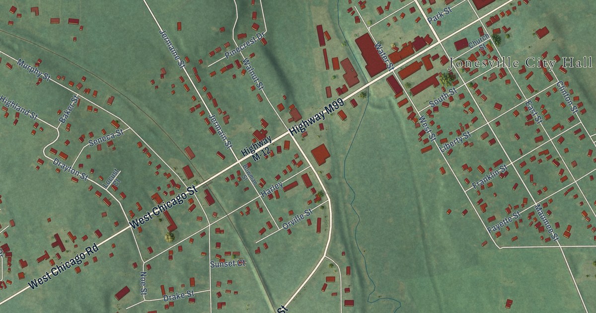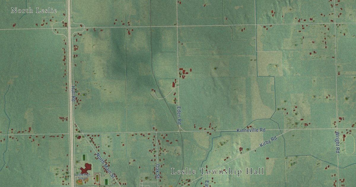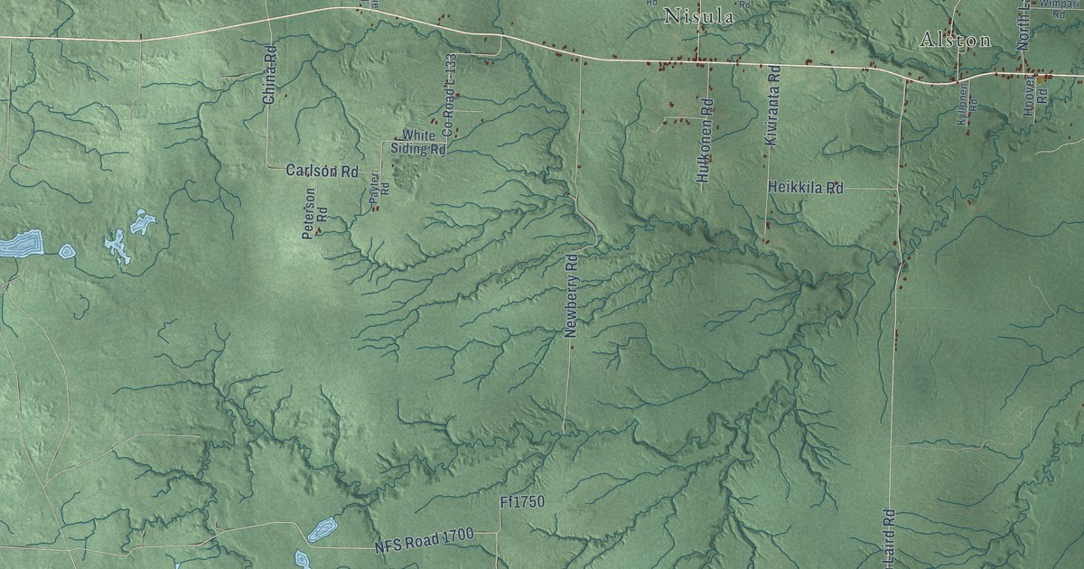
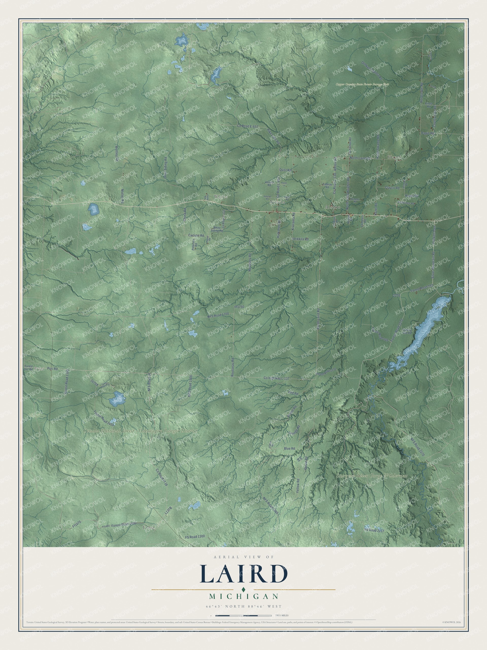
This beautifully detailed map of Laird, Michigan was created in 2026 using aerial imagery combined with modern topographical, census, street and landmark data. It's a modern aerial view of Laird in Houghton County, Michigan, that combines modern data with a vintage aesthetic. The roads feature printed names, and if you look closely you can find your exact house accurately shown in its correct location.
Explore an aerial view of Laird, Michigan
On this map you'll find Pori, Frost, Hazel, White, Copper Country State Forest- Baraga Unit, Ottawa National Forest – Ontonagon Ranger District, Sturgeon River Gorge Wilderness, Alston, Nisula, South Laird Road, Pori Road, Silver Mountain Road, and more. Each red shape is a building, so zoom in on the preview and look for yours.
The Census Bureau counted 487 people here in 2020. The map prints the town name in its title panel, with the coordinates below it.
Take a closer look at the Laird map
Names on this map
These names are printed on this map.
Places: Pori, Frost, Hazel, White, Copper Country State Forest- Baraga Unit, Ottawa National Forest - Ontonagon Ranger District, Sturgeon River Gorge Wilderness, Alston and Nisula.
Streets and roads: South Laird Road, Pori Road, Silver Mountain Road, Prickett Dam, County Highway L-137, Forest Road 1100, China Road, Carlson Road, Forest Road 193, NFS Road 2270, Otter Siding Road, Clayco Road.
More street names, A to Z
Alston Road, Blue Road, Brown Road, Cadeau Road, Cemetery Road, County Line Road, County Road E-657, County Road Ff 16, County Road L-130, County Road L-133, County Road L-657, Donken Tapiola Road, Eilola Road, Fedie Road, Ff1460, Ff1470, Ff1750, Fishing Site Road, Forest Road 446, Forest Road 1460, Forest Road 1470, Forest Road 2270, Forest Road 2276, Forest Road Ff 16, Forest Svc Road, FS Road 1300, FS Road 2217, Green Road, Harju Road, Hazel Road, Hazel Swamp Road, Heikkila Road, Heikkinen Road, Hoover Road, Horoscope Road, Hulkonen Road, Kiviranta Road, Kopsi Road, Kyllonen Road, Lanahala Road, Lt Blue Road, Motley Road, Mottley Road, Newberry Road, NFS Road 16, NFS Road 1360, NFS Road 1500, NFS Road 1700, North Laird Heights Road, North Laird Road, Orange Road, Ovist Road, Papin Road, Paulie Lane, Payter Road, Peterson Road, Pike Lake Road, Red Road, Rousseau Road, Sullivan Road, Tauriainen Road, Usimaki Road, Usitalo Road, White Siding Road, Wimpari Road, Yellow Road, Yel Road.
Created by KNOWOL in 2026. The buildings are small red shapes, the roads carry their printed names, and shaded relief shows the shape of the land. The title panel reads "AERIAL VIEW OF LAIRD, MICHIGAN" with 46°43' NORTH 88°46' WEST.
It looks right in a kitchen, an office or a den, and it's a gift for anyone who grew up in Laird or moved away. Open the preview and find your street. See sizes and frames for the Laird map.