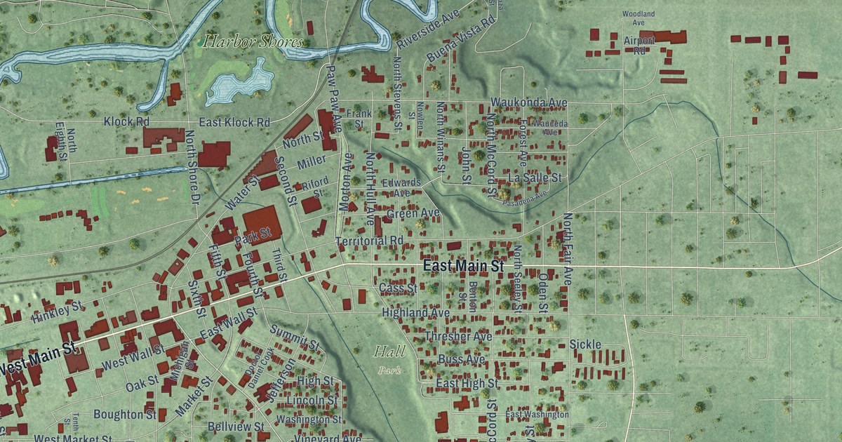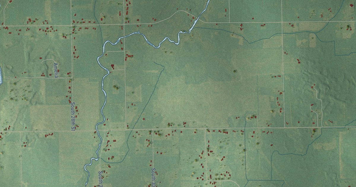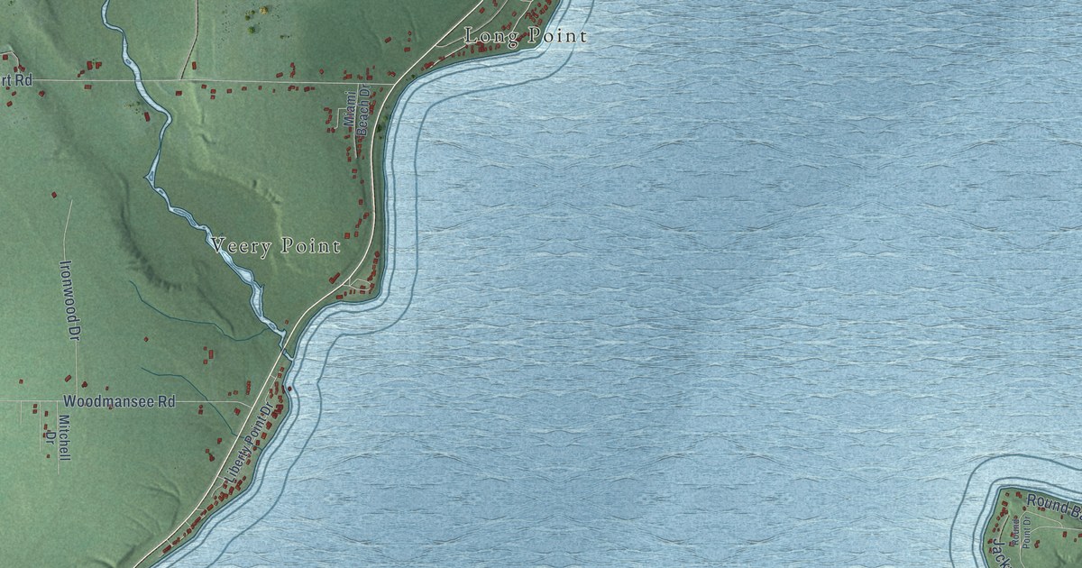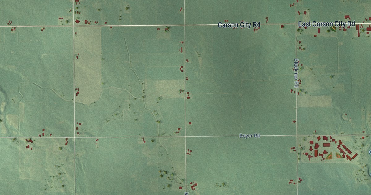
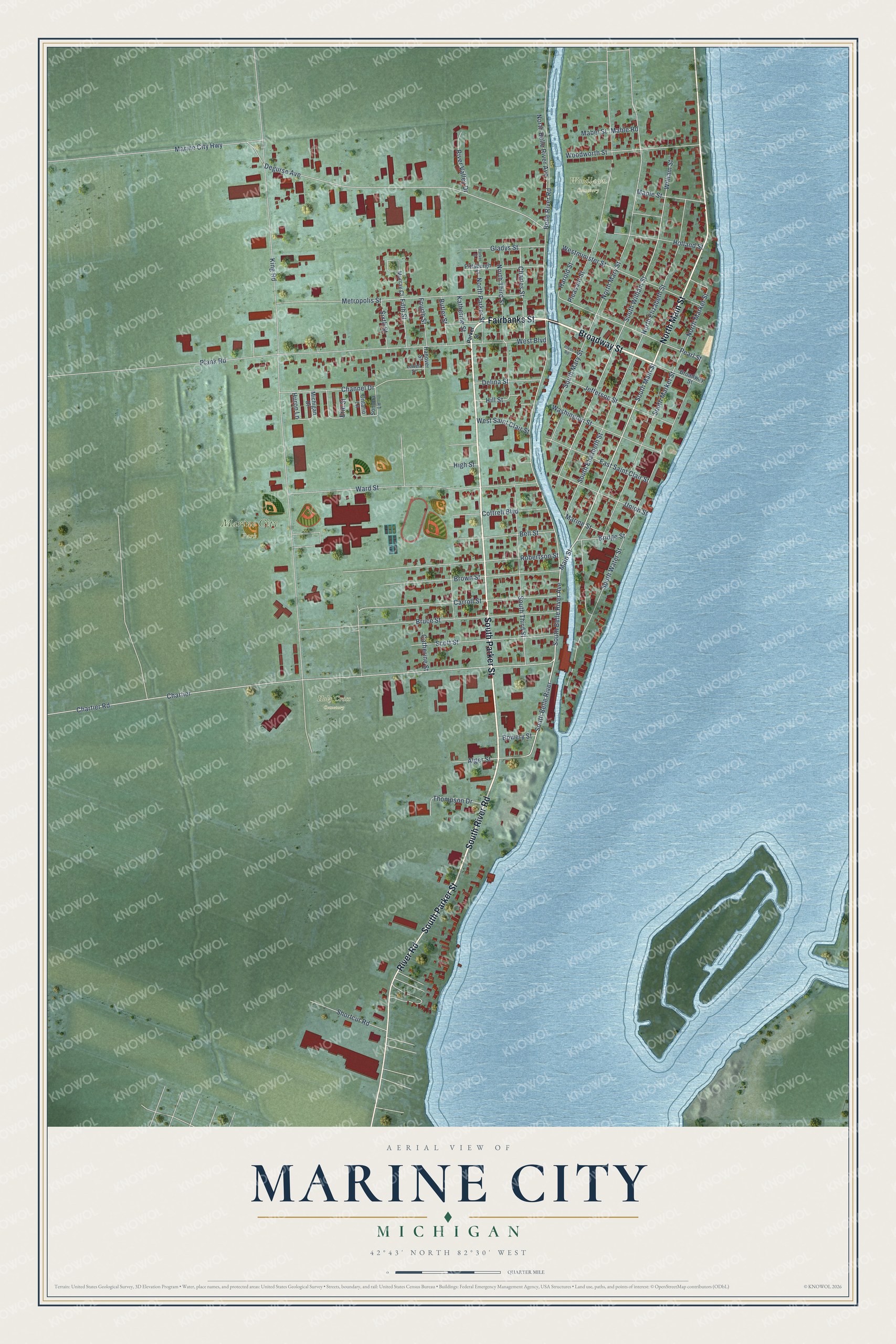
This beautifully detailed map of Marine City, Michigan was created in 2026 using aerial imagery combined with modern topographical, census, street and landmark data. It's a modern aerial view of Marine City in St. Clair County, Michigan, that combines modern data with a vintage aesthetic. The roads feature printed names, and if you look closely you can find your exact house accurately shown in its correct location.
Explore an aerial view of Marine City, Michigan
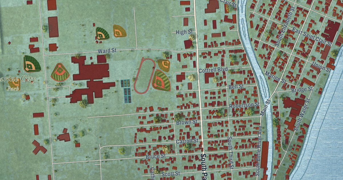
On this map you'll find Marine City Park, Woodlawn Cemetery, Holy Cross Cemetery, Broadway Street, Fairbanks Street, South Parker Street, North Main Street, South River Road, River Road, South Main Street, Main Street, South Belle River, and more. Each red shape is a building, so zoom in on the preview and look for yours.
Marine City has a story worth telling. The History of St. Clair County puts it this way: "St. Mark's Protestant Episcopal Church of Marine City, was organized in June, 1865, with A. B. Clough, B. L. Horton, Alexander Gilchrist, Aloney Rust, Joseph Luff and D. H. Westcott, members."
Marine City is a city in St. Clair County. The Census Bureau counted 4,079 people here in 2020.
Take a closer look at the Marine City map
Names on this map
These names are printed on this map.
Places: Marine City Park, Woodlawn Cemetery and Holy Cross Cemetery.
Streets and roads: Broadway Street, Fairbanks Street, South Parker Street, North Main Street, South River Road, River Road, South Main Street, Main Street, South Belle River, South Belle River Avenue, North Mary Street, Pearl Street.
More street names, A to Z
Alger Street, Belle River Road, Bell Street, Bowery Street, Bridge Street, Brown Street, Bruce Street, Butler Street, Carroll Street, Catherine Street, Channel Drive, Charles Street, Chartier, Chartier Road, Cottrell Boulevard, Degurse Avenue, Delina Street, East Saint Clair Street, Erie Street, Fifth Street, Fourth Street, Gladys Street, Hanover Street, Harold Street, High Street, Hill Street, Holland Street, Huron Lane, Jefferson Street, Katherine Street, King Road, Lowell Street, Mabel Street, Mable Road, Maple Street, Marine City Highway, Marine Street, Metropolis Street, Michigan Drive, Murray Court, North Belle River Avenue, North Elizabeth Street, North Market Street, North Parker Street, North Third Street, Ontario Lane, Parker Street, Pittsburgh Street, Plank Road, Pleasant Street, River Valley Drive, Robertson Street, Scott Street, Shortcut Road, Sixth Street, Sombra Lane, South Elizabeth Street, South Market Street, South Mary Street, South Third Street, South Water Street, South William Street, Thompson Drive, Union Street, Ward Street, Washington Street, West Boulevard, Westminister Street, West Saint Clair Street, William Street, Woodworth Street.
Created by KNOWOL in 2026. The buildings are small red shapes, the roads carry their printed names, and shaded relief shows the shape of the land. The title panel reads "AERIAL VIEW OF MARINE CITY, MICHIGAN" with 42°43' NORTH 82°30' WEST.
It looks right in a kitchen, an office or a den, and it's a gift for anyone who grew up in Marine City or moved away. Open the preview and find your street. See sizes and frames for the Marine City map.