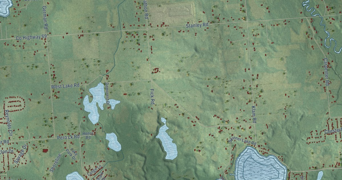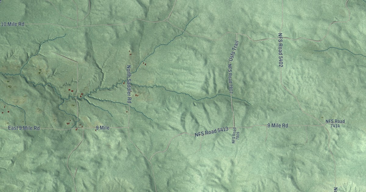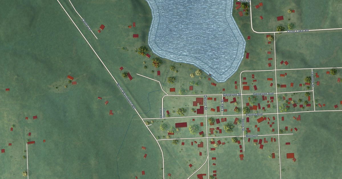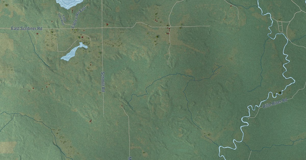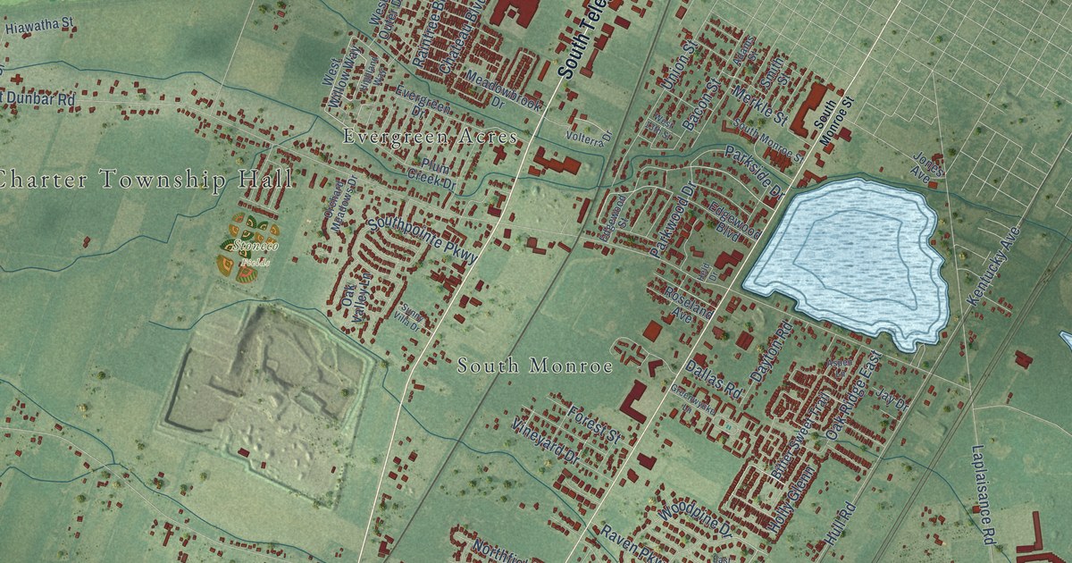
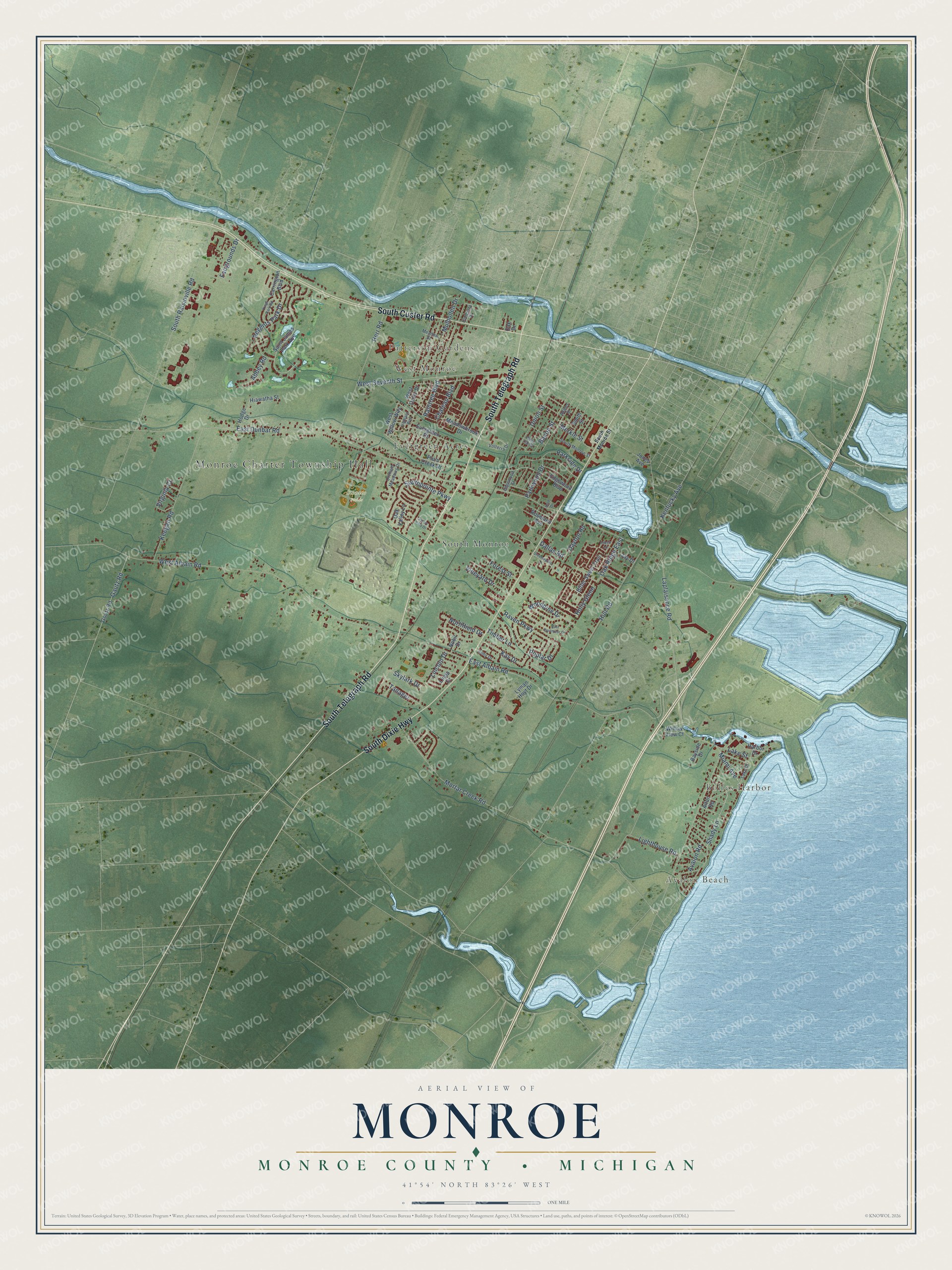
This beautifully detailed map of Monroe, Michigan was created in 2026 using aerial imagery combined with modern topographical, census, street and landmark data. It's a modern aerial view of Monroe in Monroe County, Michigan, that combines modern data with a vintage aesthetic. The roads feature printed names, and if you look closely you can find your exact house accurately shown in its correct location.
Explore an aerial view of Monroe, Michigan
On this map you'll find Monroe Charter Township Hall, Avalon Beach, Bolles Harbor, Patterson Gardens, West Monroe, Stoneco Fields, Evergreen Acres, South Monroe, South Telegraph Road, South Custer Road, South Dixie Highway, Shady Lane, and more. Each red shape is a building, so zoom in on the preview and look for yours.
Monroe has a story worth telling. The Internet Archive puts it this way: "The first election in 1827 was held at the
court house in the village of Monroe."
The Census Bureau counted 14,391 people here in 2020.
Take a closer look at the Monroe map
Names on this map
These names are printed on this map.
Places: Monroe Charter Township Hall, Avalon Beach, Bolles Harbor, Patterson Gardens, West Monroe, Stoneco Fields, Evergreen Acres and South Monroe.
Streets and roads: South Telegraph Road, South Custer Road, South Dixie Highway, Shady Lane, East Dunbar Road, Laplaisance Road, West Albain Road, Hull Road, East Albain Road, South Raisinville Road, Mortar Creek Road, West Seventh Street.
More street names, A to Z
Abbey Road, Adams Street, Aimy Drive, Alton Road, Aspen Lane, Avalon Road, Bacon Street, Bayside Drive, Bitter Sweet Trail, Carrington Boulevard, Chateau Boulevard, Concetta Drive, Dallas Road, Dayton Road, East Dartmoor Drive, Edgewood Boulevard, Edgewood Street, Evergreen Drive, Fairgrounds Drive, Forest Street, Gautz Road, Goutz Road, Greenwycke Lane, Harbor Drive, Held Drive, Herr Road, Hiawatha Street, Highland Way, Hodge Drive, Holly Glenn, Jay Drive, Jones Avenue, Kay Drive, Keegan Road, Kentucky Avenue, Kings Park Road, Lake Drive, Lake Street, Lighthouse Road, Lincoln Drive, Linda Drive, Lyman Hoyt Drive, Meadowbrook Drive, Meadow Street, Merkle Street, Miami Avenue, Mulhollen Drive, Nobil Drive, Northfield Drive, Oak Drive, Oak Ridge East, Oak Valley Lane, Orchard Meadows Drive, Parkside Drive, Parkwood Drive, Plum Creek Drive, Poplar Drive, Raintree Boulevard, Raven Parkway, Regents Park Drive, Roseland Avenue, Saint James Park Avenue, Skylark Drive, Smith Street, South Monroe Street, Southpointe Parkway, Sunny Villa Drive, Tanager, Timber Lane, Union Street, Vineyard Drive, Virginia Court, Volterra Drive, West 13th Street, West Outer Drive, West Willow Way, Willow View Court, Woodpine Drive.
Created by KNOWOL in 2026. The buildings are small red shapes, the roads carry their printed names, and shaded relief shows the shape of the land. The title panel reads "AERIAL VIEW OF MONROE, MONROE COUNTY • MICHIGAN" with 41°54' NORTH 83°26' WEST.
It looks right in a kitchen, an office or a den, and it's a gift for anyone who grew up in Monroe or moved away. Open the preview and find your street. See sizes and frames for the Monroe, Monroe County map.