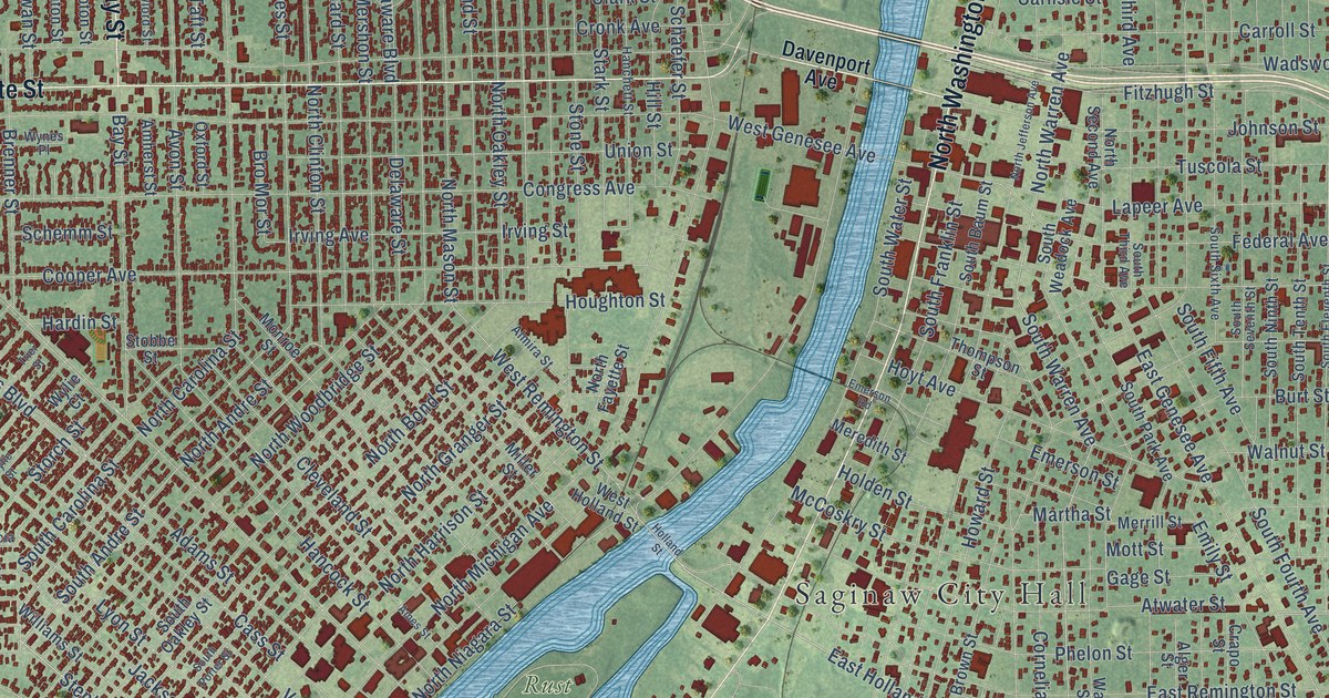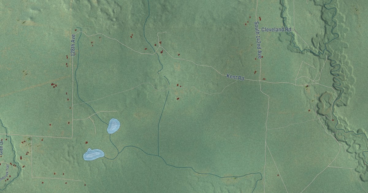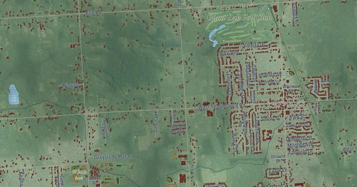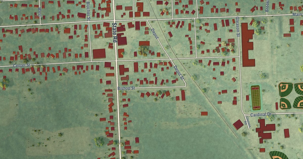
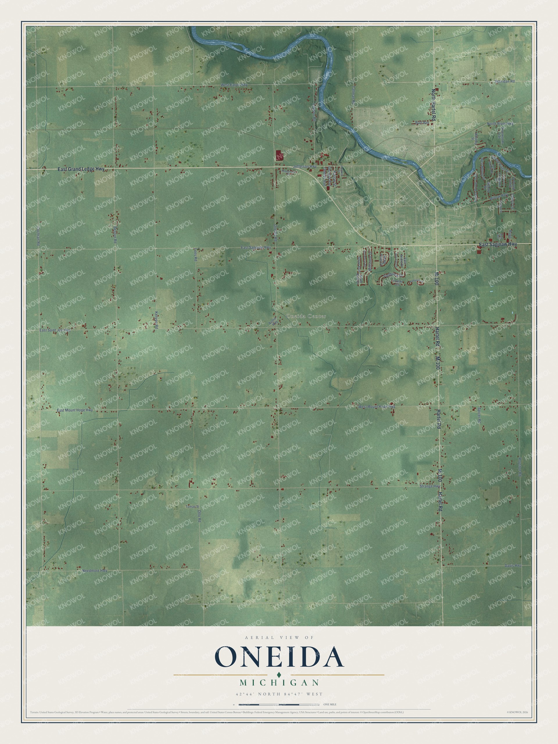
This beautifully detailed map of Oneida, Michigan was created in 2026 using aerial imagery combined with modern topographical, census, street and landmark data. It's a modern aerial view of Oneida in Eaton County, Michigan, that combines modern data with a vintage aesthetic. The roads feature printed names, and if you look closely you can find your exact house accurately shown in its correct location.
Explore an aerial view of Oneida, Michigan
On this map you'll find Oneida Center, East Grand Ledge Highway, East Saginaw Highway, North Hartel Road, Hartel Road, M-100, Jefferson Highway, Parlow Street, East Mount Hope Highway, West Mount Hope Highway, Cochran Road, Lawson Road, and more. Each red shape is a building, so zoom in on the preview and look for yours.
Here is a piece of Oneida history, in the words of the record. The History of Ingham and Eaton Counties puts it this way: "The first settler in the township of Oneida was Solomon Russell, from Orleans Co., N. Y. His journey was performed in the autumn of 1836, by ox-team, and his route lay through Canada and across the counties of Oakland, Shiawassee, and Clinton, in Michigan."
The Census Bureau counted 3,986 people here in 2020.
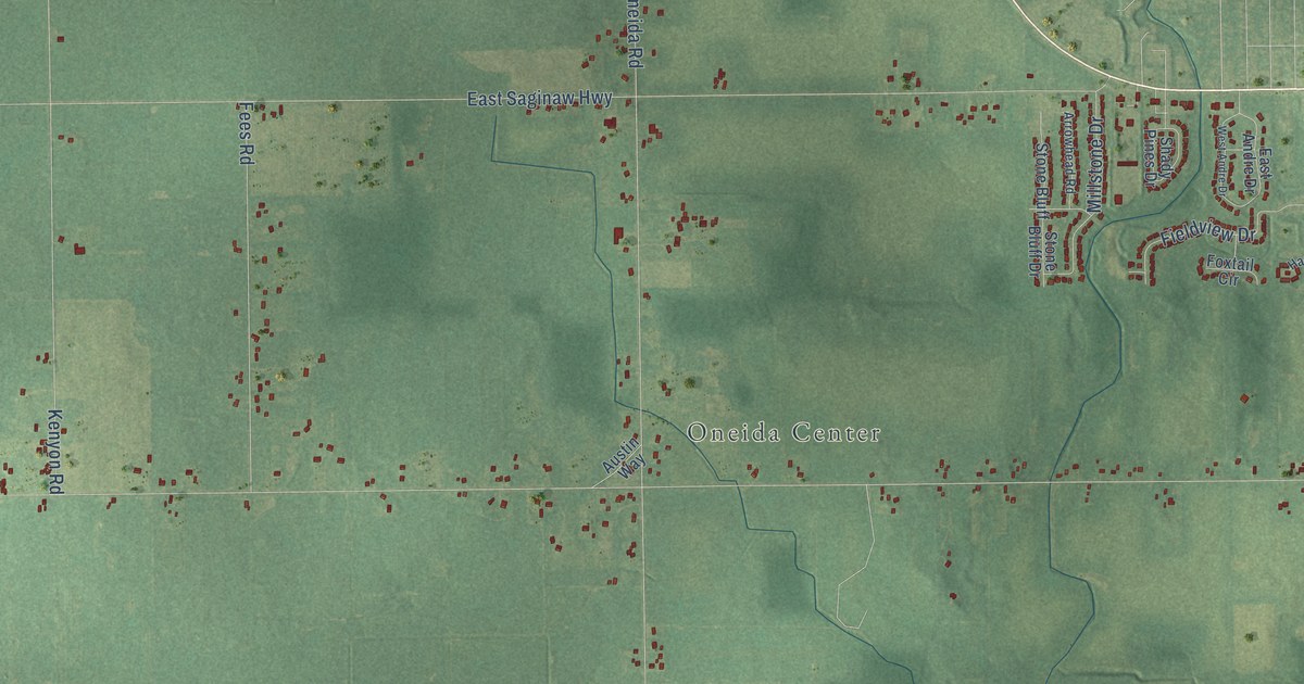
Take a closer look at the Oneida map
Names on this map
These names are printed on this map.
Places: Oneida Center.
Streets and roads: East Grand Ledge Highway, East Saginaw Highway, North Hartel Road, Hartel Road, M-100, Jefferson Highway, Parlow Street, East Mount Hope Highway, West Mount Hope Highway, Cochran Road, Lawson Road, Tallman Road.
More street names, A to Z
Arrowhead Road, Austin Way, Benton Road, Burt Avenue, Cherry Lane, Chippewa Drive, Crabapple Lane, Davis Highway, East Andre Drive, East Melody Road, East Saint Joe Highway, Fees Road, Fieldview Drive, Foxtail Circle, Franklin Street, Georgia Avenue, Grand River Drive, Grand Willow Drive, Hampton Court, Iroquois Drive, Kenyon Road, Melody Road, Millstone Drive, Needmore Highway, North River Highway, Oneida Avenue, Oneida Road, Oneida Woods Trail, Otto Road, Peppercorn Drive, Riverwoods Trail, Royston Road, Rupp, Ruth Avenue, Shady Pines Drive, Sheridan Road, Spicer Road, Stone Bluff, Stone Bluff Drive, Strange Highway, Toman Street, West Andre Drive, West Eaton Highway, West Melody Drive, Whitney Street, Willow Highway.
Created by KNOWOL in 2026. The buildings are small red shapes, the roads carry their printed names, and shaded relief shows the shape of the land. The title panel reads "AERIAL VIEW OF ONEIDA, MICHIGAN" with 42°44' NORTH 84°47' WEST.
It suits a den, a classroom or a front hall, and it makes a gift for anyone with Oneida roots. Open the preview and find the block you know. See sizes and frames for the Oneida map.