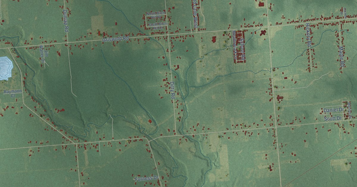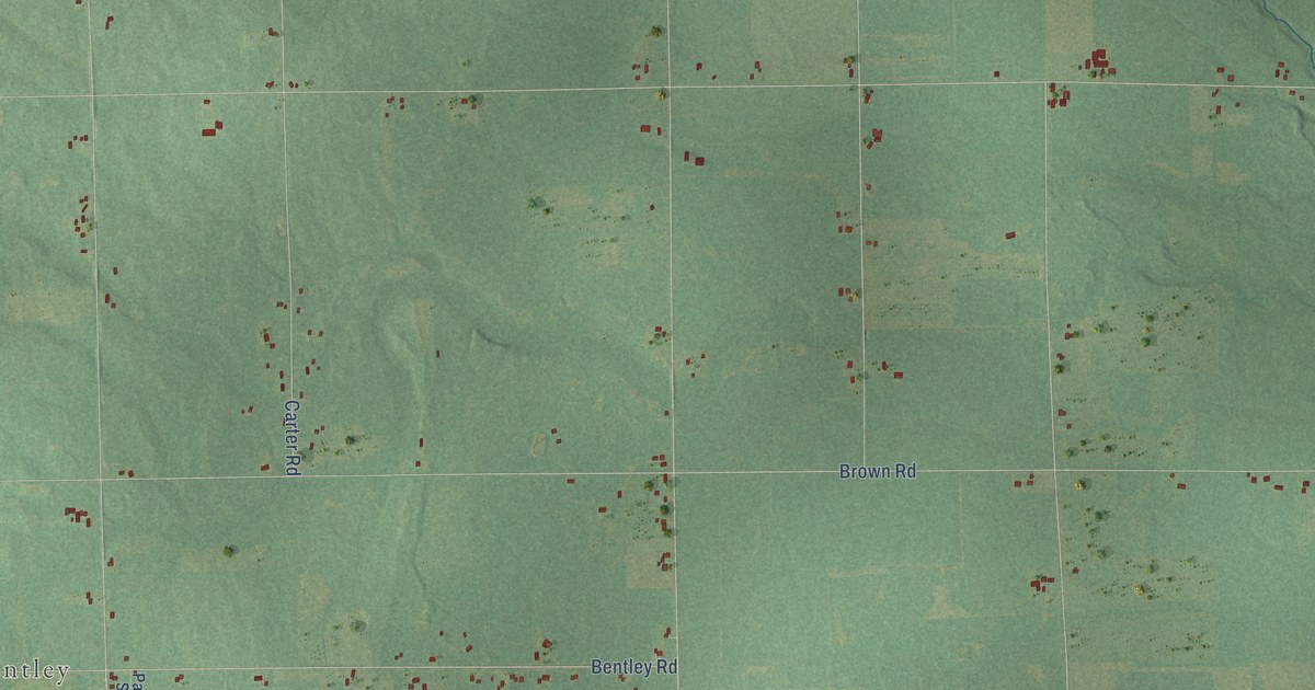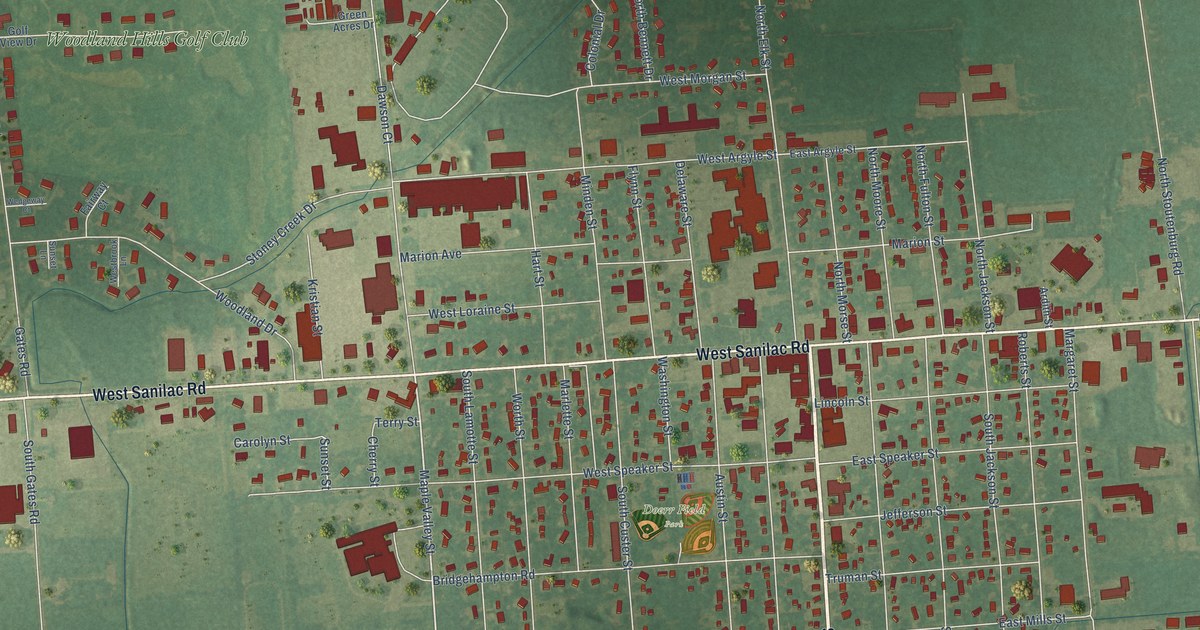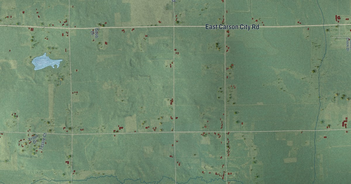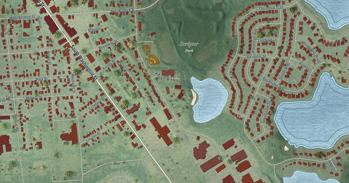
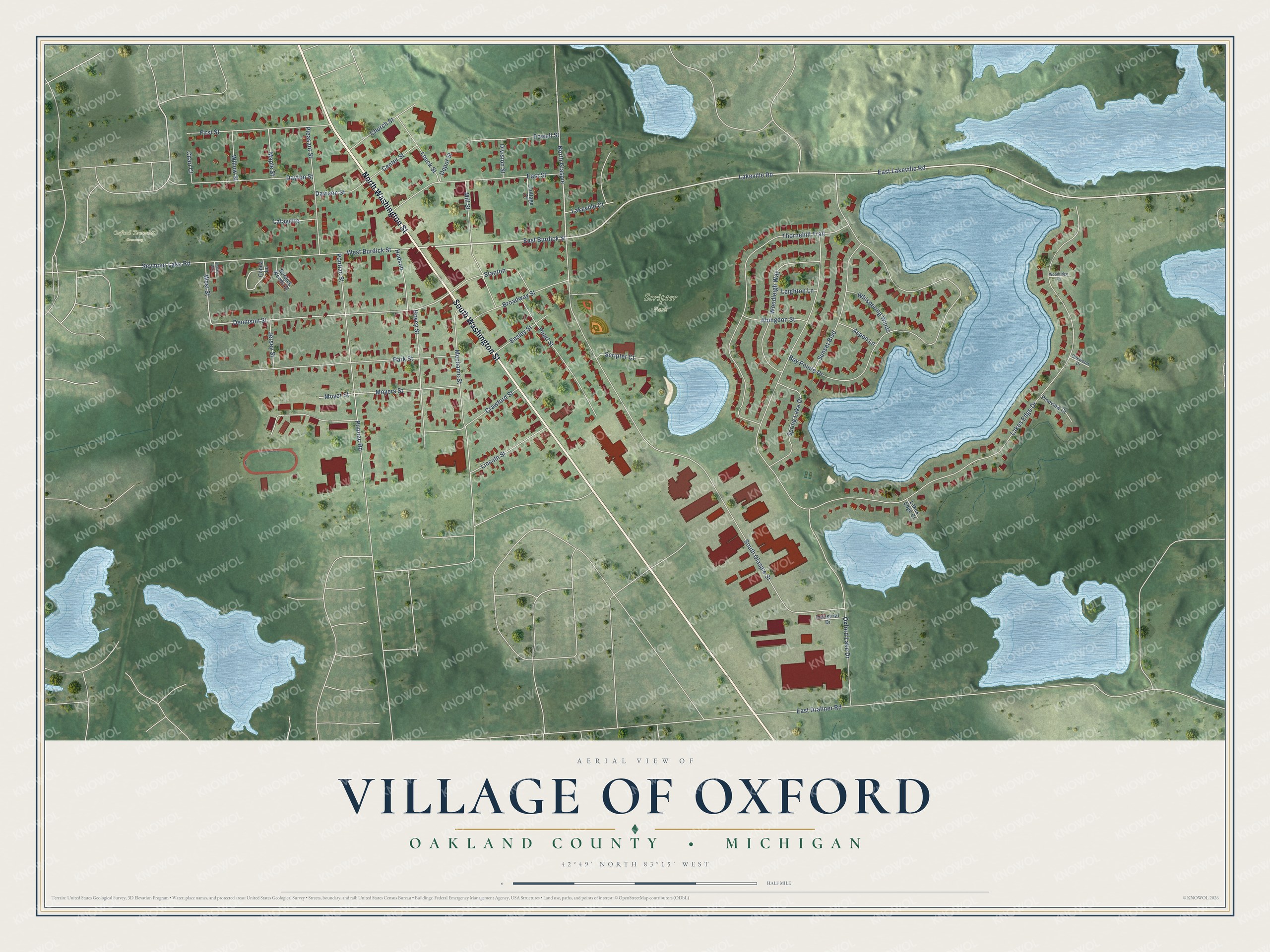
This beautifully detailed map of Oxford, Michigan was created in 2026 using aerial imagery combined with modern topographical, census, street and landmark data. It's a modern aerial view of Oxford in Oakland County, Michigan, that combines modern data with a vintage aesthetic. The roads feature printed names, and if you look closely you can find your exact house accurately shown in its correct location.
Explore an aerial view of Oxford, Michigan
On this map you'll find Scripter Park, Oxford Township Cemetery, North Washington Street, South Washington Street, Lakeville Road, East Burdick Street, East Lakeville Road, North Glaspie, Dennison Street, West Street, Moyer Street, Oxford Lake Drive, and more. Each red shape is a building, so zoom in on the preview and look for yours.
Oxford has a story worth telling. The History of Oakland County puts it this way: "In 1840 Robert Haines came to the village and built a shop, being the first wagonmaker to do business in Oxford. In 1840 Daniel F. Ingals and Benjamin Knight built a small foundry at Oxford, where they made plows, sleigh-shoes and did repair work for farmers."
Oxford is a village in Oakland County. The Census Bureau counted 3,492 people here in 2020.
Take a closer look at the Oxford map
Names on this map
These names are printed on this map.
Places: Scripter Park and Oxford Township Cemetery.
Streets and roads: North Washington Street, South Washington Street, Lakeville Road, East Burdick Street, East Lakeville Road, North Glaspie, Dennison Street, West Street, Moyer Street, Oxford Lake Drive, South Glaspie Street, Lakes Edge Drive.
More street names, A to Z
Abingdon Street, Ashley Way, Aspen Lane, Bay Pointe Drive, Broadway Street, Burdick Woods Court, Center Street, Chari Court, Church Street, Conda Lane, Cottage Court, Crawford Street, Davison Street, Dayton Street, Depot Street, Division Street, East Drahner Road, East Street, Ensley Street, First Street, Hovey Street, Hudson, Industrial Drive, Jersey Street, Lafayette, Lakes Edge Court, Lakeville Court, Leighton Lane, Lincoln Street, Louck Street, Maple Street, Mechanic Street, Mill Street, Moyers Street, Oakwood Drive, Park Street, Pearl Street, Pineview Court, Pleasant Street, Pontiac Road, Pontiac Street, Powell Street, Scripter Court, Seymour Lake Road, Spring Lake Drive, Stanton, Sunset Boulevard, Thornehill Trail, West Burdick Street, Whispering Winds, Willow Street, Woodleigh Way, Woodridge Court.
Created by KNOWOL in 2026. The buildings are small red shapes, the roads carry their printed names, and shaded relief shows the shape of the land. The title panel reads "AERIAL VIEW OF VILLAGE OF OXFORD, OAKLAND COUNTY • MICHIGAN" with 42°49' NORTH 83°15' WEST.
It looks right in a kitchen, an office or a den, and it's a gift for anyone who grew up in Oxford or moved away. Open the preview and find your street. See sizes and frames for the Oxford map.