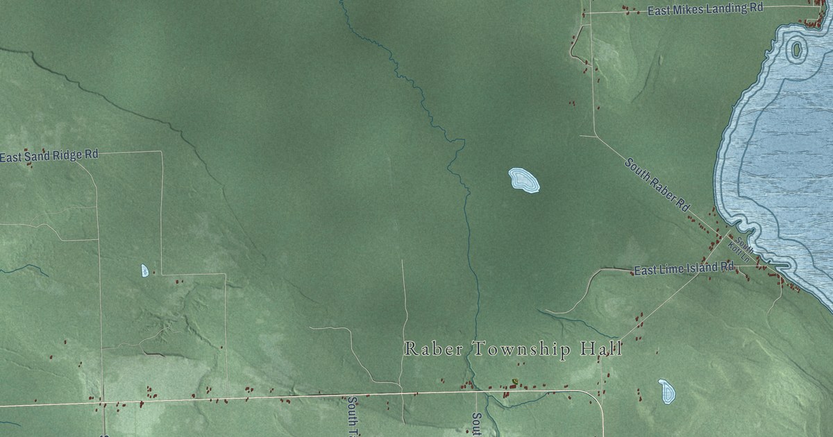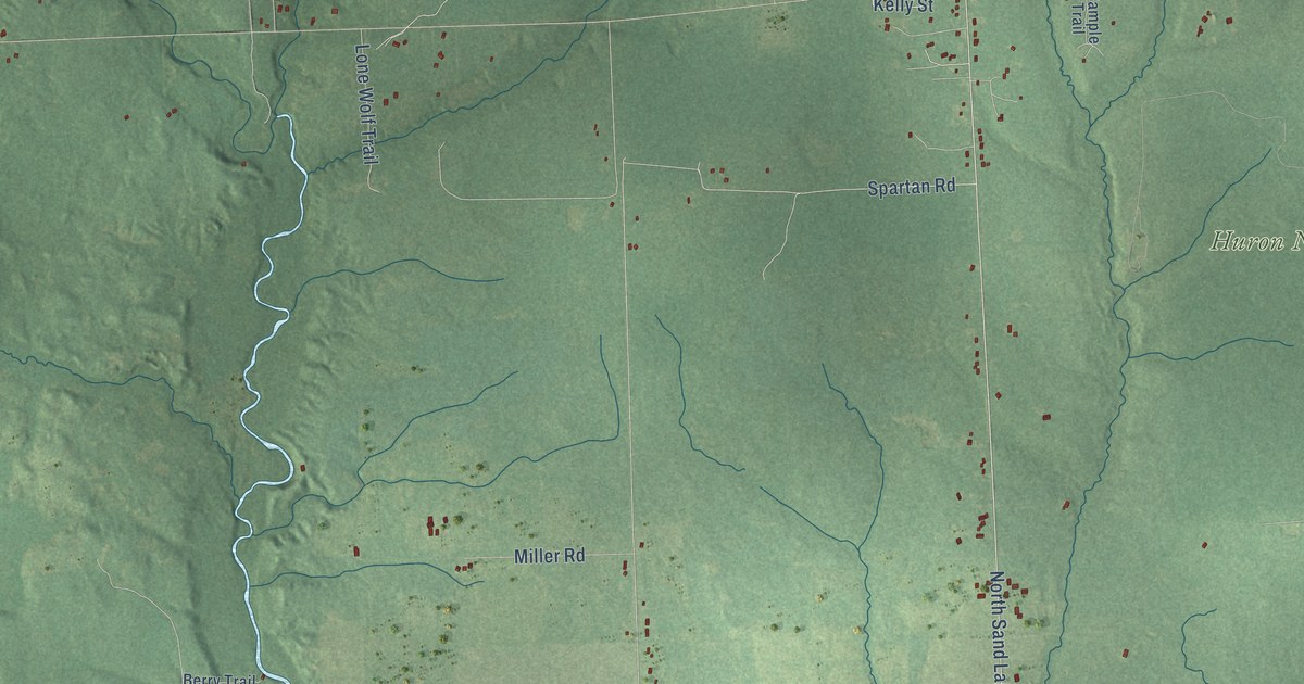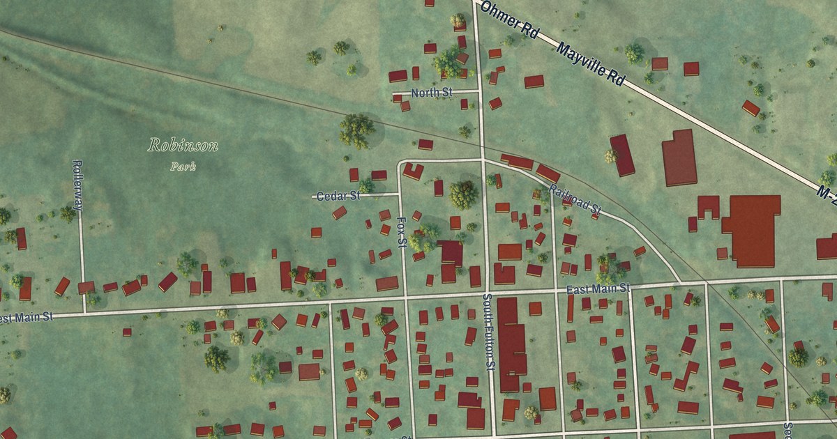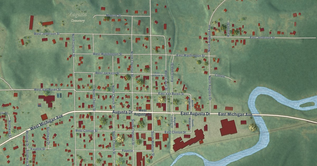
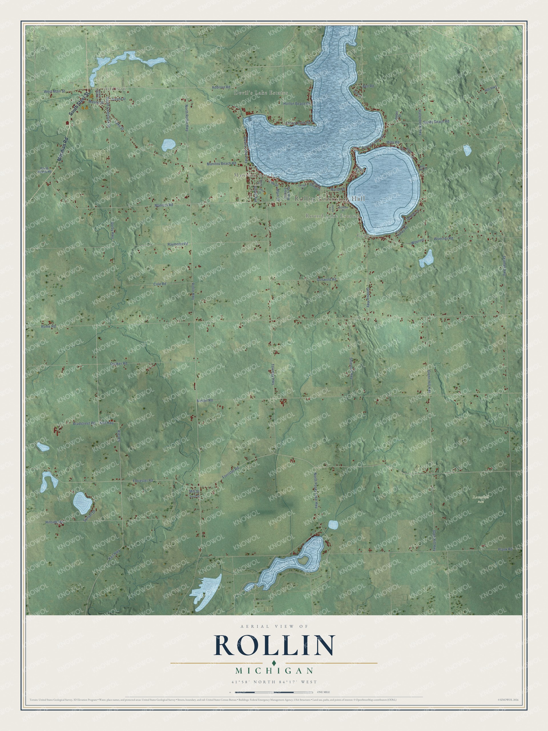
This beautifully detailed map of Rollin, Michigan was created in 2026 using aerial imagery combined with modern topographical, census, street and landmark data. It's a modern aerial view of Rollin in Lenawee County, Michigan, that combines modern data with a vintage aesthetic. The roads feature printed names, and if you look closely you can find your exact house accurately shown in its correct location.
Explore an aerial view of Rollin, Michigan
On this map you'll find Rollin Township Hall, Addison, Devil's Lake Estates, Manitou Beach, Round Lake Estates, Geneva, Ramsdell Park, South Steer Street, Meridian Road, Addison Road, Manitou Road, West Main Street, and more. Each red shape is a building, so zoom in on the preview and look for yours.
Here is a piece of Rollin history, in the words of the record. The Memoirs of Lenawee County puts it this way: "Lucretia Beal taught the first term of school in the township of Rollin, at the home of John F. Comstock, during the summer of 1836, and the first school-house was erected in the fall of the same year, on a tract of land then in the possession of Samuel Crout, the first term of school being taught by William Rhoades."
The Census Bureau counted 3,035 people here in 2020.
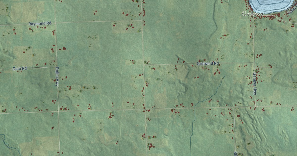
Take a closer look at the Rollin map
Names on this map
These names are printed on this map.
Places: Rollin Township Hall, Addison, Devil's Lake Estates, Manitou Beach, Round Lake Estates, Geneva and Ramsdell Park.
Streets and roads: South Steer Street, Meridian Road, Addison Road, Manitou Road, West Main Street, Lake Street, Rollin Highway, Kiel Highway, Keil Highway, Woerner Road, Woerner, Sorby Highway.
More street names, A to Z
Bell Road, Bradstreet Road, Burton Road, Cherry Point Road, Cherry Street, Cole Road, Cottage Drive, Devils Lake Highway, Dexter Lane, Durham Drive, East Ferndale Drive, Elm Street, Forrester Road, Forrister Road, Geneva Highway, Glen Hill Highway, Glenn Hill Highway, Griswold Road, Grove Avenue, Hallenbeck Highway, Hill Highway, Hillside Road, Horton Beach Road, Kiel Road, Mac Mar Road, Main Street, Manitou Beach Road, Marsh Drive, Mason Street, Mills Road, Mill Street, North Adams Road, North Posey Lake Highway, North Rollin Highway, Orchard Beach Road, Oxford Avenue, Pine Street, Plank Road, Pleasant Valley Road, Quaker Road, Raymond Road, Rome Road, Round Lake Highway, Sandy Beach Road, Second Street, Shady Shore Drive, Shierson Highway, Skinner Highway, South Comstock Street, South Street, South Talbot Street, Sunset Drive, Toledo Avenue, Townley Highway, Weber Drive, Wildwater.
Created by KNOWOL in 2026. The buildings are small red shapes, the roads carry their printed names, and shaded relief shows the shape of the land. The title panel reads "AERIAL VIEW OF ROLLIN, MICHIGAN" with 41°58' NORTH 84°17' WEST.
It suits a den, a classroom or a front hall, and it makes a gift for anyone with Rollin roots. Open the preview and find the block you know. See sizes and frames for the Rollin map.