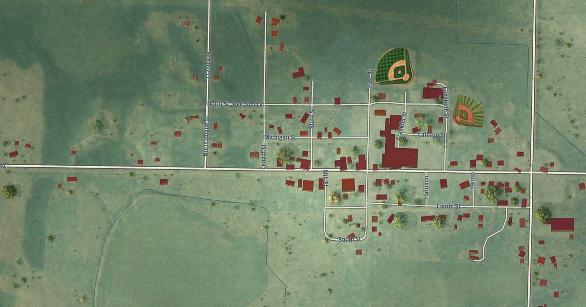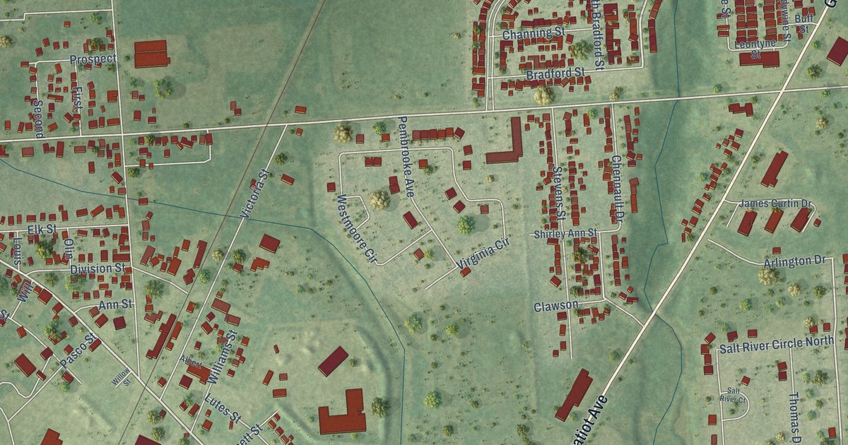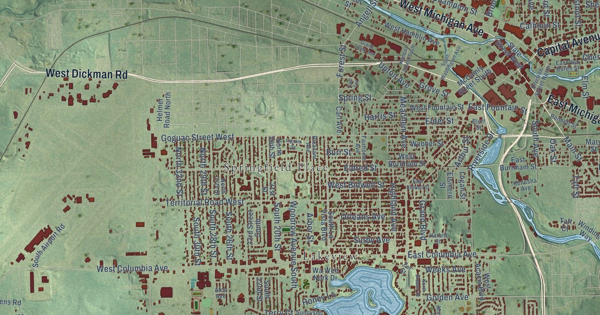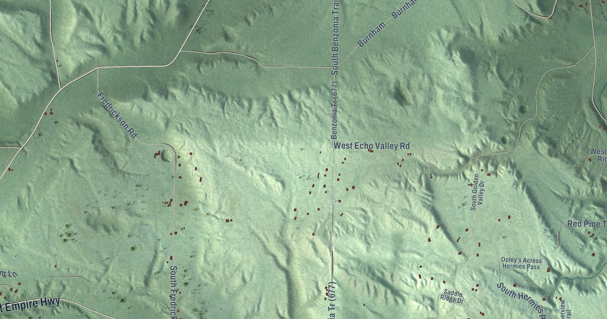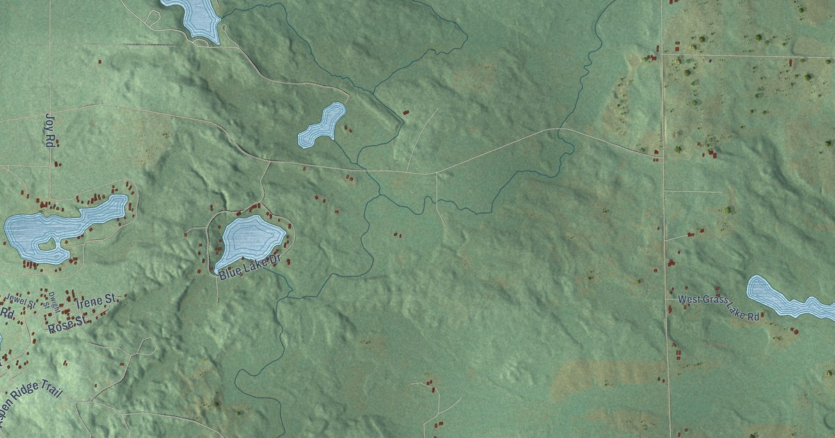
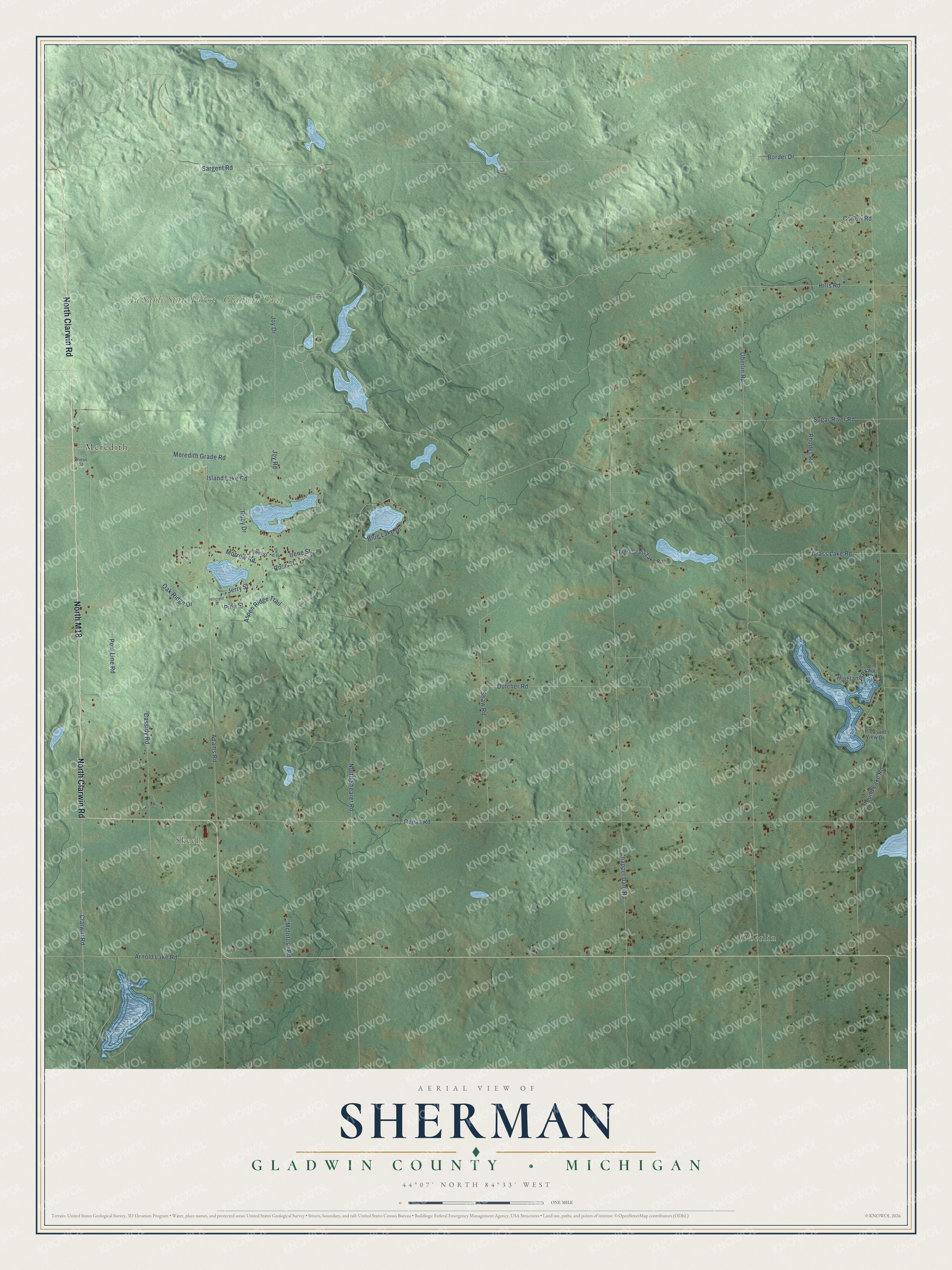
This beautifully detailed map of Sherman, Michigan was created in 2026 using aerial imagery combined with modern topographical, census, street and landmark data. It's a modern aerial view of Sherman in Gladwin County, Michigan, that combines modern data with a vintage aesthetic. The roads feature printed names, and if you look closely you can find your exact house accurately shown in its correct location.
Explore an aerial view of Sherman, Michigan
On this map you'll find Skeels, Au Sable State Forest – Gladwin Unit, Meredith, Oberlin, North Clarwin Road, North M18, Renas Road, Pole Line Road, Round Lake Road, Morrow Road, Jerry Street, Joy Road, and more. Each red shape is a building, so zoom in on the preview and look for yours.
Every town has a first chapter, and Sherman is no exception. The Gladwin County First Settler Centennial puts it this way: "On April 7, 1884, election inspectors were Lovell P. Sherman, Truman Arnot, and George Cunningham. On May 8, 1884, the first election was held and the results were: Supervisor, Lovell P. Sherman; treasurer, George Cunningham, and clerk, Frances Burket."
The Census Bureau counted 1,001 people here in 2020.
Take a closer look at the Sherman map
Names on this map
These names are printed on this map.
Places: Skeels, Au Sable State Forest - Gladwin Unit, Meredith and Oberlin.
Streets and roads: North Clarwin Road, North M18, Renas Road, Pole Line Road, Round Lake Road, Morrow Road, Jerry Street, Joy Road, Rose Street, Oberlin Road, Sargent Road, Chappel Dam Road.
More street names, A to Z
Adams Road, Arnold Lake Road, Aspen Ridge Trail, Blue Lake Drive, Border Drive, Cassidy Road, Clarwin Road, Corlew Road, Dutcher Road, Dwight Street, Grass Lake Road, Highland Parkway, Hillcrest Street, Hilts Road, Irene Street, Island Lake Road, Jewel Street, Joy Drive, McIntosh Road, Meredith Grade Road, North Shearer Road, Oak Ridge Drive, Pine Street, Pleasant View Drive, Rhodes Road, Ruby Drive, Shaw Road, Sugar River Road, West Grass Lake Road, Wiess Street.
Created by KNOWOL in 2026. The buildings are small red shapes, the roads carry their printed names, and shaded relief shows the shape of the land. The title panel reads "AERIAL VIEW OF SHERMAN, GLADWIN COUNTY • MICHIGAN" with 44°07' NORTH 84°33' WEST.
Hang it in the hallway, the office or the cabin, or give it to someone who left Sherman and still calls it home. Open the preview and look for a street you know. See sizes and frames for the Sherman, Gladwin County map.