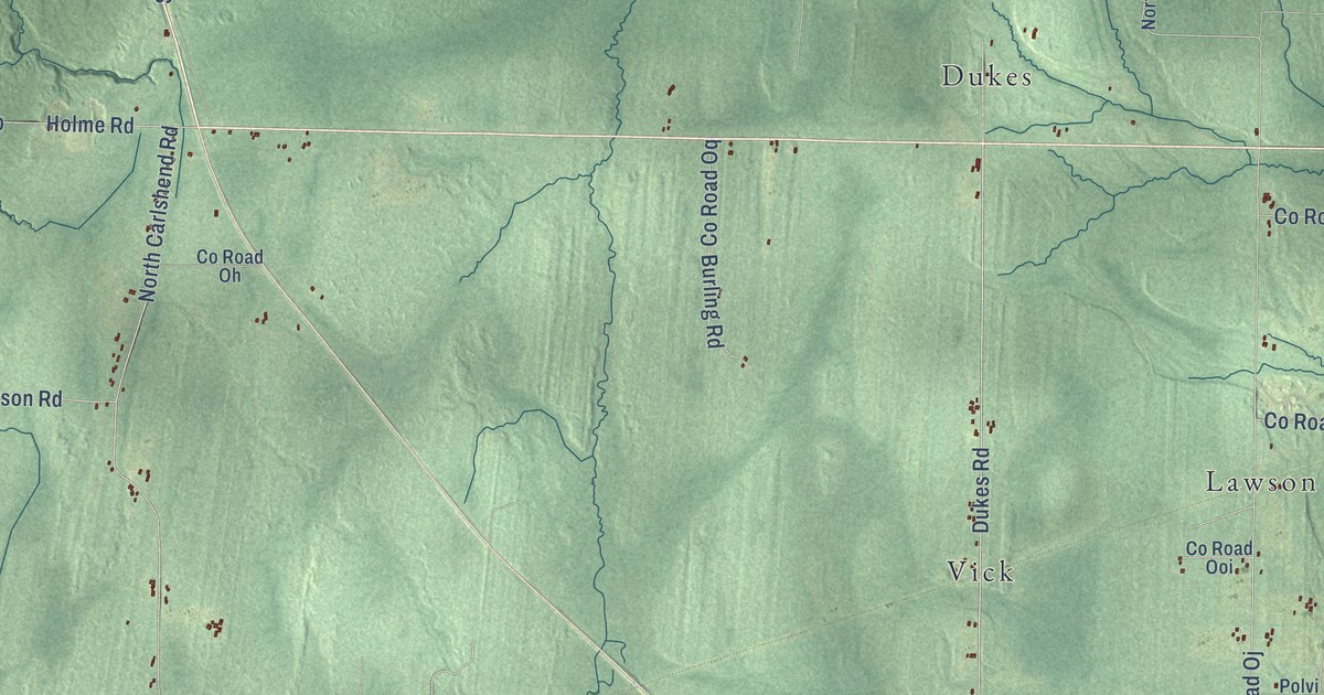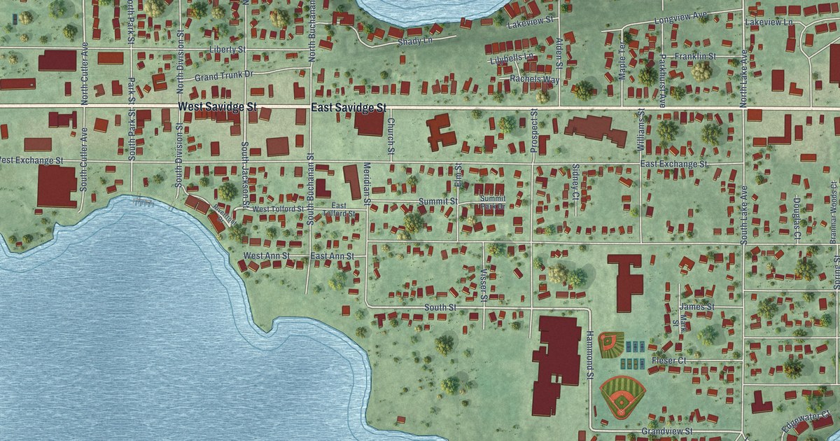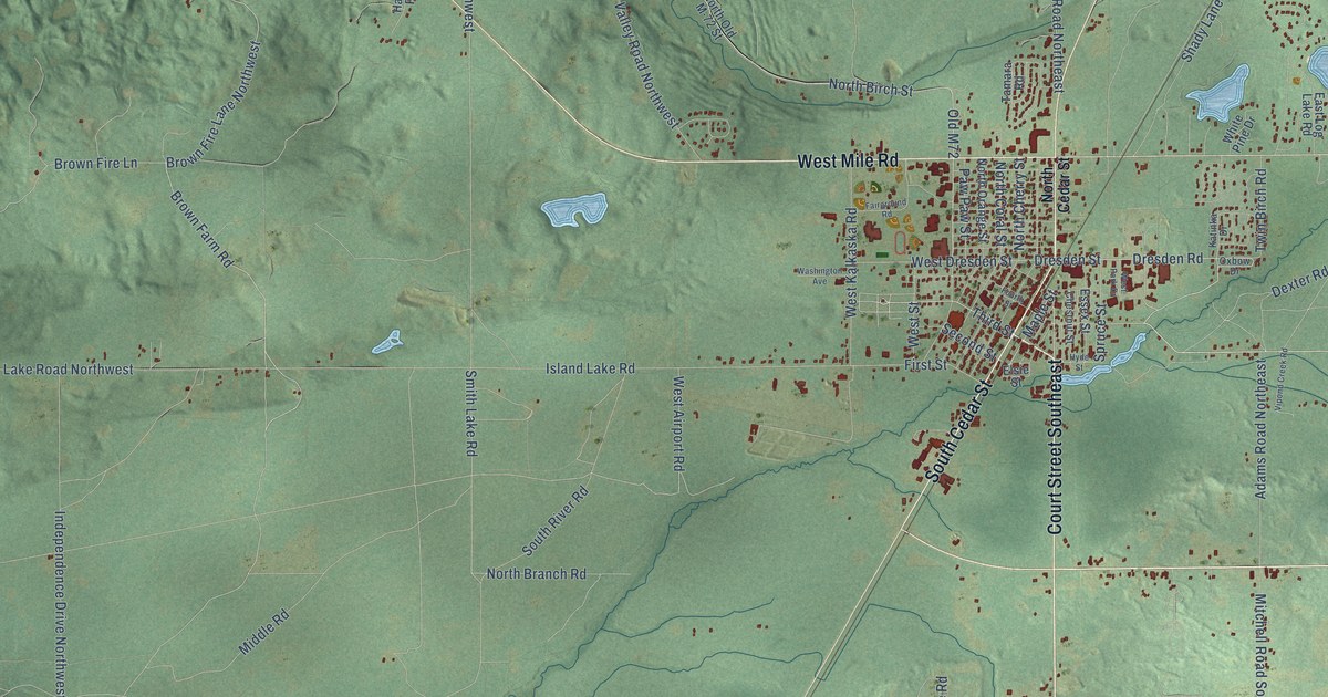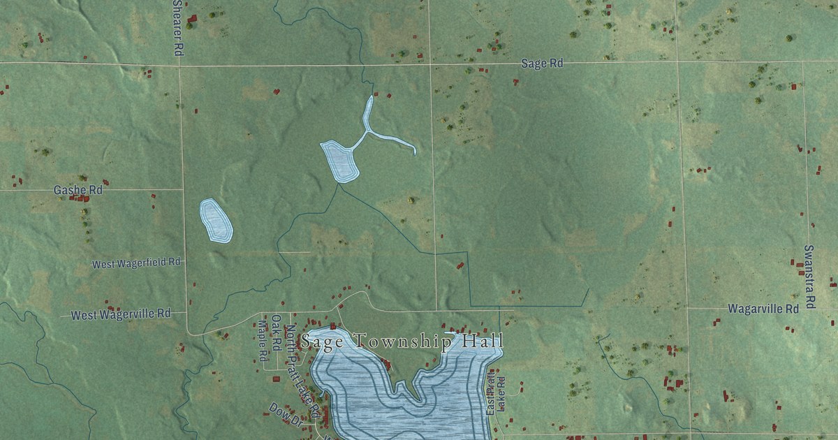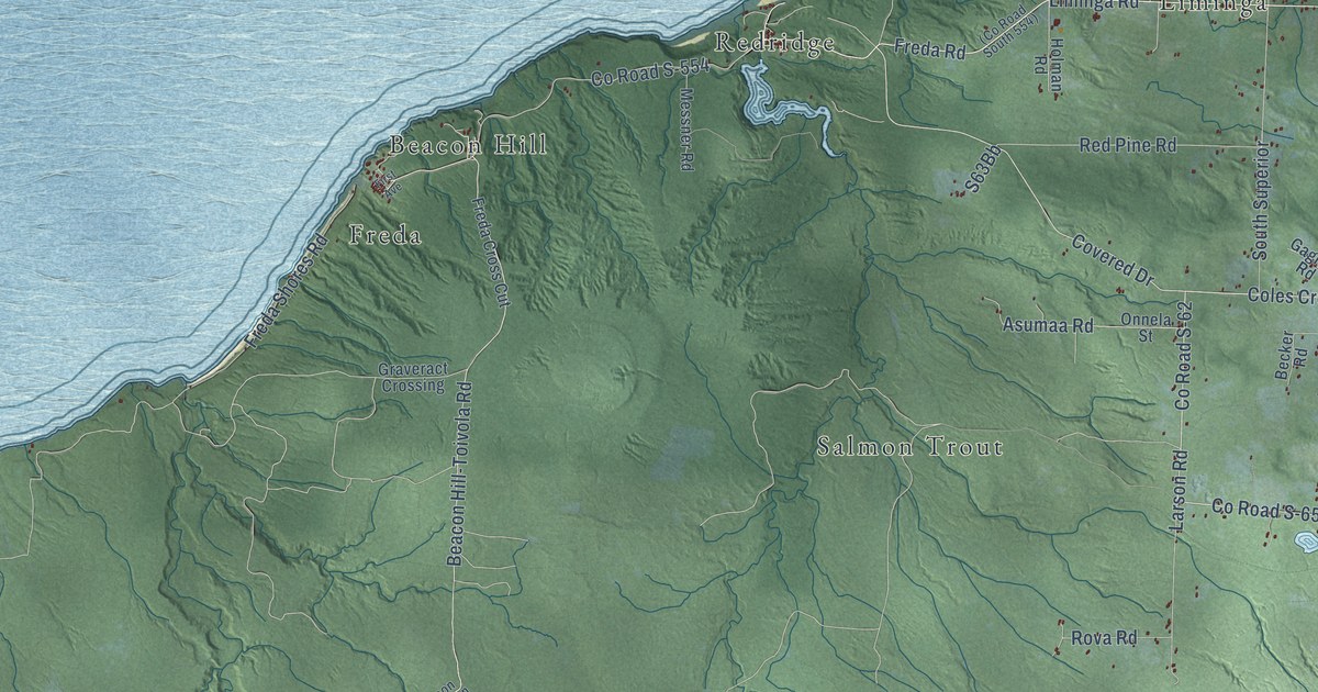
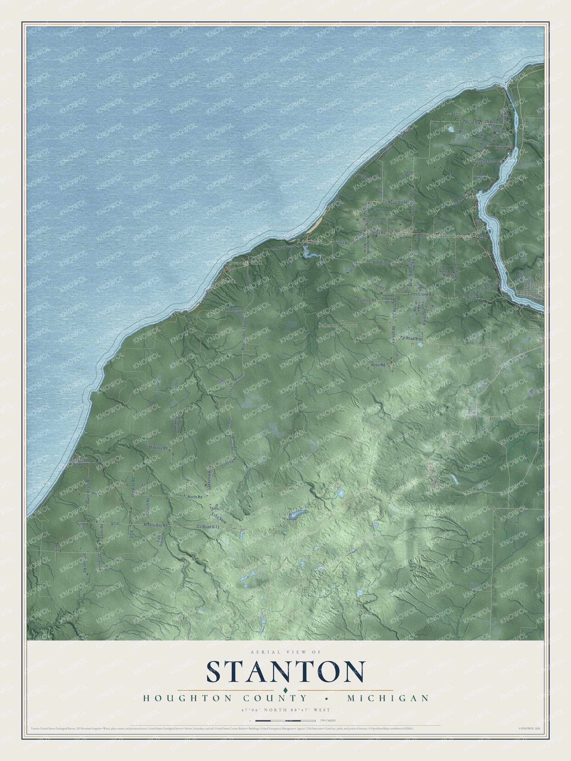
This beautifully detailed map of Stanton, Michigan was created in 2026 using aerial imagery combined with modern topographical, census, street and landmark data. It's a modern aerial view of Stanton in Houghton County, Michigan, that combines modern data with a vintage aesthetic. The roads feature printed names, and if you look closely you can find your exact house accurately shown in its correct location.
Explore an aerial view of Stanton, Michigan
On this map you'll find Oskar, Schmidt Corner, Beacon Hill, Freda, Liminga, Redridge, Salmon Trout, Co Road S-554, Liminga Road, Co Road S-61, Co Road S-61B, Wall Street, and more. Each red shape is a building, so zoom in on the preview and look for yours.
Here is a piece of Stanton history, in the words of the record. The Stanton Township Recreation Plan puts it this way: "Stanton Township and the Stanton Township School Board were subsequently established in 1902."
The Census Bureau counted 1,590 people here in 2020.
Take a closer look at the Stanton map
Names on this map
These names are printed on this map.
Places: Oskar, Schmidt Corner, Beacon Hill, Freda, Liminga, Redridge and Salmon Trout.
Streets and roads: County Road S-554, Liminga Road, County Road S-61, Wall Street, Coles Creek Road, County Road S-62, Freda Road, County Road S-65, County Road S-553, Little America, North Road, Red Pine Road.
More street names, A to Z
Agate Beach Park Road, Agate Beach Road, Asumaa Road, Bay Shore Road, Beacon Hill-Toivola Road, Beacon Hill Toivola Road, Beacon Toivola Lane, Becker Road, Braeloch Road, Church Road, County Road S-63, County Road S-71, Covered Drive, Cross Cut Road, Field Station Road, Fire Hall Road, First Avenue, Freda Cross Cut, Freda Cross Cut Road, Freda Shores Road, Gagnon Road, Gedvillas Road, Graveract Crossing, Harma Road, Heikkinen School Road, Holman Road, Houghton Canal Road, Jaasko Road, Jackola Road, Johnson Road, Kommes Niva Road, Lake Veiw, Lakeview Road, Larson Road, Little America Road, Loukinen Road, Messner Road, Mikkola Road, Misery Bay Road, Niemi Road, North Superior Road, Oak Point Road, Old Rink Road, Onnela Street, Osma Plat Road, Pine, Puuri Road, Rauhala Road, Red Barn Road, Red Brick Road, Rova Road, Salmi Road, South Superior, Stanton Shores Road, Suksi Road, Sunset Place, Superior Shores Road, Suprior Shores, Taskila, Tormala Road.
Created by KNOWOL in 2026. The buildings are small red shapes, the roads carry their printed names, and shaded relief shows the shape of the land. The title panel reads "AERIAL VIEW OF STANTON, HOUGHTON COUNTY • MICHIGAN" with 47°06' NORTH 88°47' WEST.
It suits a den, a classroom or a front hall, and it makes a gift for anyone with Stanton roots. Open the preview and find the block you know. See sizes and frames for the Stanton, Houghton County map.