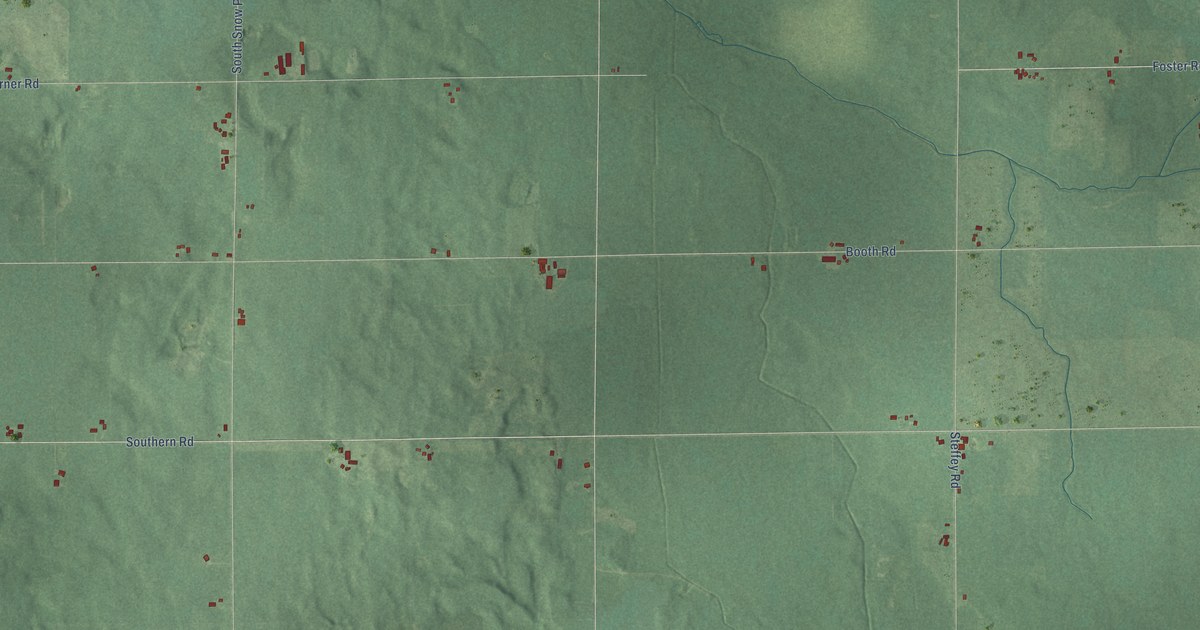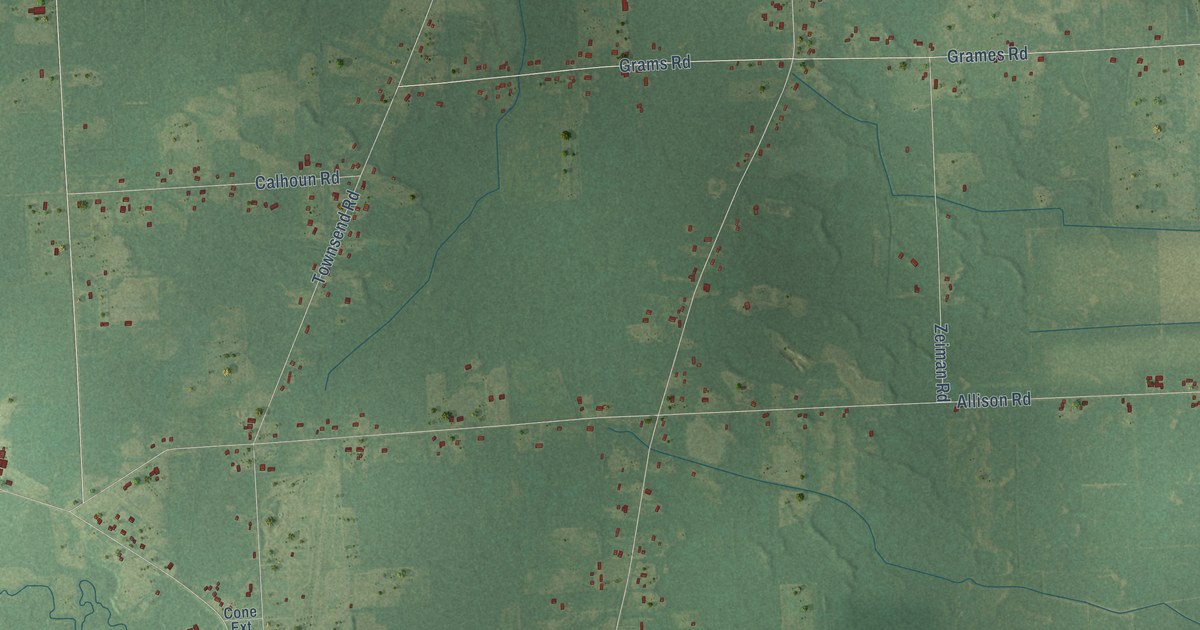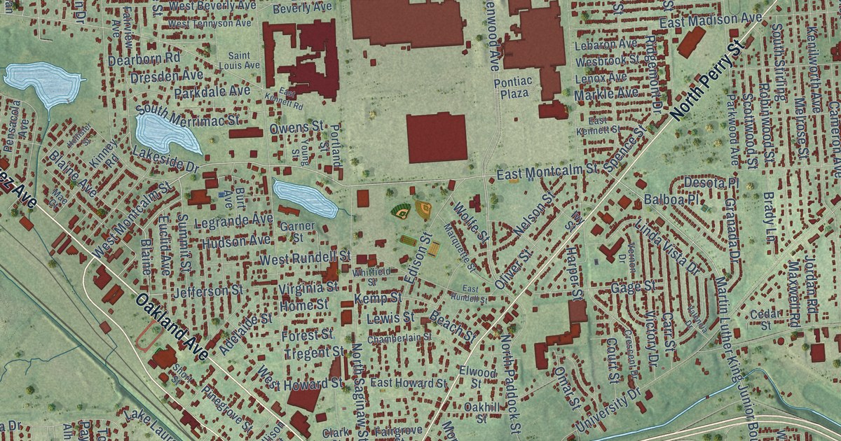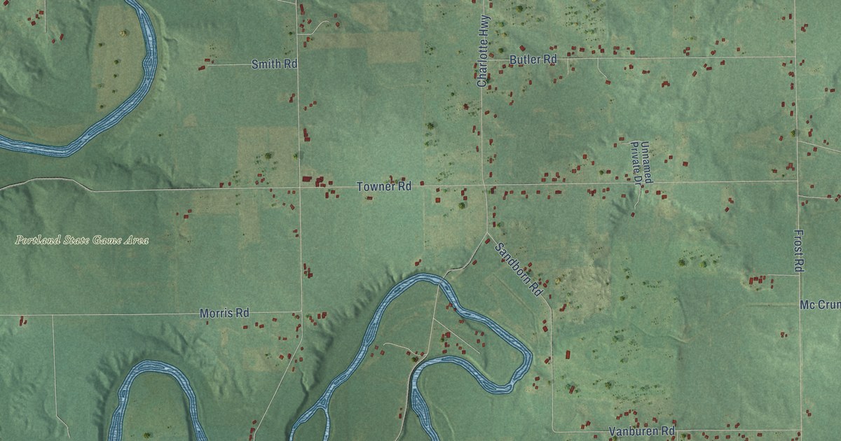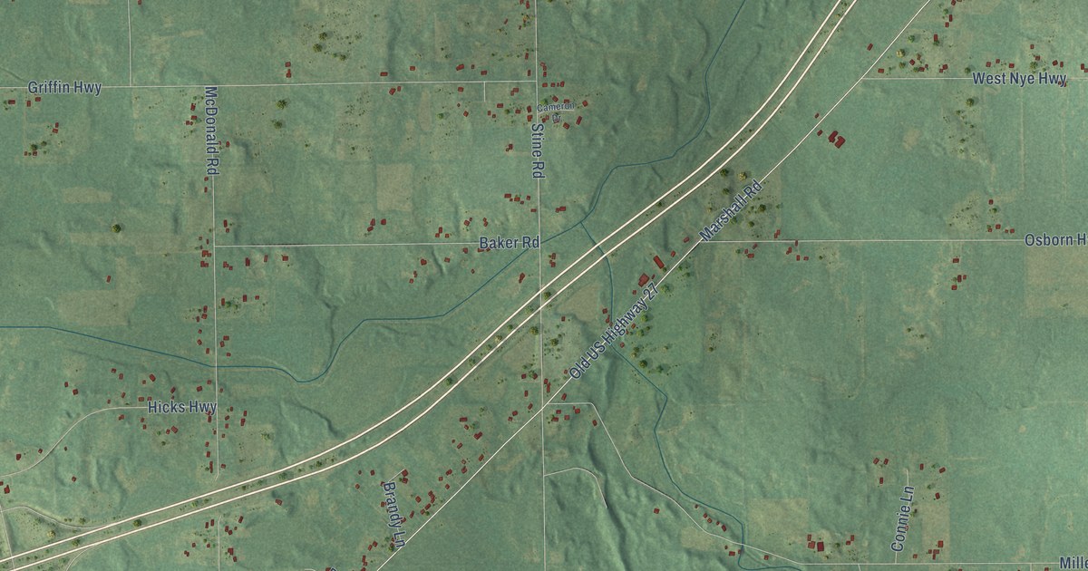
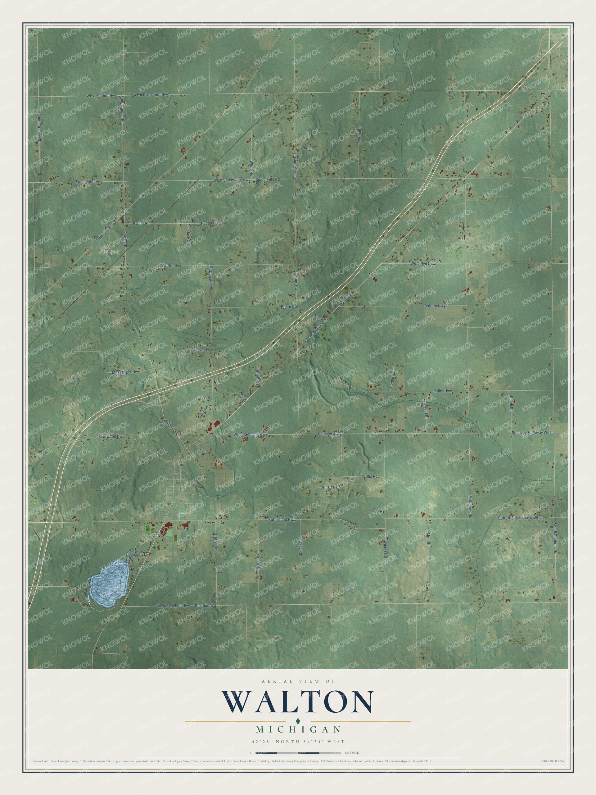
This beautifully detailed map of Walton, Michigan was created in 2026 using aerial imagery combined with modern topographical, census, street and landmark data. It's a modern aerial view of Walton in Eaton County, Michigan, that combines modern data with a vintage aesthetic. The roads feature printed names, and if you look closely you can find your exact house accurately shown in its correct location.
Explore an aerial view of Walton, Michigan
On this map you'll find Ainger, Marshall Road, Old US Highway 27, West Bellevue Highway, South Cochran Road, West 5 Point Highway, West Five Point Highway, Butterfield Highway, West Baseline Highway, Butterfield Highway West, Baseline Road, Bellevue Highway West, and more. Each red shape is a building, so zoom in on the preview and look for yours.
Here is a piece of Walton history, in the words of the record. The Pioneer History of Eaton County puts it this way: "Walton's first postoffice was established in 1838 and Captain Hickok commissioned as first postmaster at the same time that Jonathan Searls was commissioned first postmaster at Charlotte."
The Census Bureau counted 2,293 people here in 2020.
Take a closer look at the Walton map
Names on this map
These names are printed on this map.
Places: Ainger.
Streets and roads: Marshall Road, Old US Highway 27, West Bellevue Highway, South Cochran Road, West 5 Point Highway, West Five Point Highway, Butterfield Highway, West Baseline Highway, Butterfield Highway West, Baseline Road, Bellevue Highway West, Bellevue Highway.
More street names, A to Z
Ainger Road, Baker Road, Battle Creek Road, Baum Road, Brandy Lane, Burco Drive, Cameron Drive, Connie Lane, Deer Trce, Elm Road, Green Road, Griffin Highway, Harris Road, Hicks Highway, Hillside Drive, Horn Lane, Hydon Highway, Hydon Road, Kalamo Street, Martin Road, Matthews Road, McDonald Road, Messenger Highway, Miller Highway, Mott Road, Osborn Highway, Oxby Road, Pineview Drive, Ryon Drive, Scott Road, Sherwood Highway, South Ainger Road, South Bradley Road, South Stine Road, Spicerville Highway, Spicerville Road, Stine Road, Weeks Road, West Nye Highway, West Spicerville Highway, White Road, Willis Road.
Created by KNOWOL in 2026. The buildings are small red shapes, the roads carry their printed names, and shaded relief shows the shape of the land. The title panel reads "AERIAL VIEW OF WALTON, MICHIGAN" with 42°28' NORTH 84°54' WEST.
It suits a den, a classroom or a front hall, and it makes a gift for anyone with Walton roots. Open the preview and find the block you know. See sizes and frames for the Walton map.