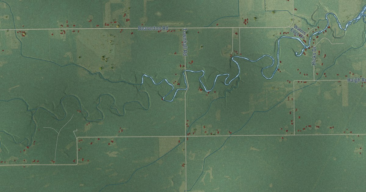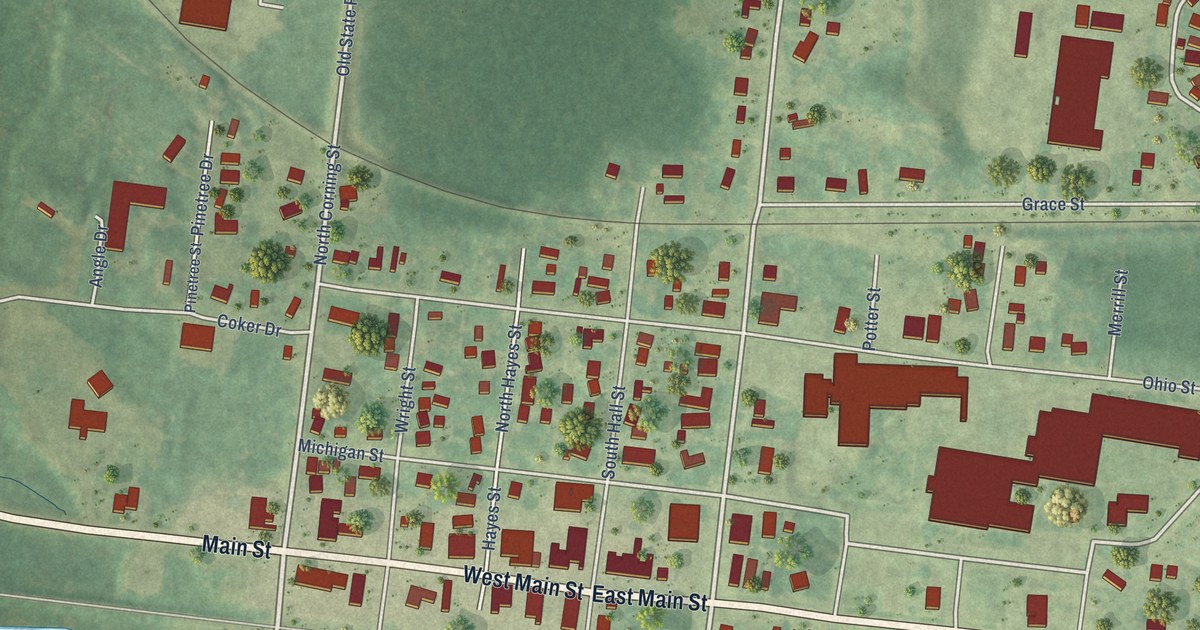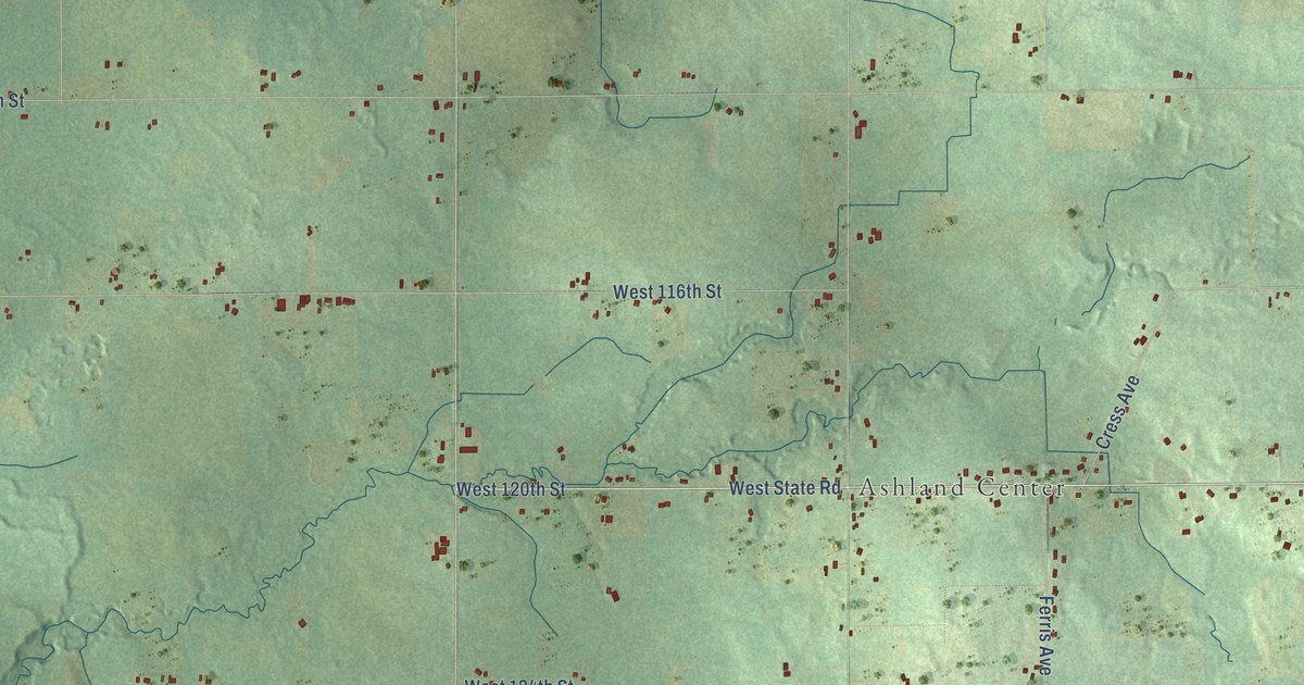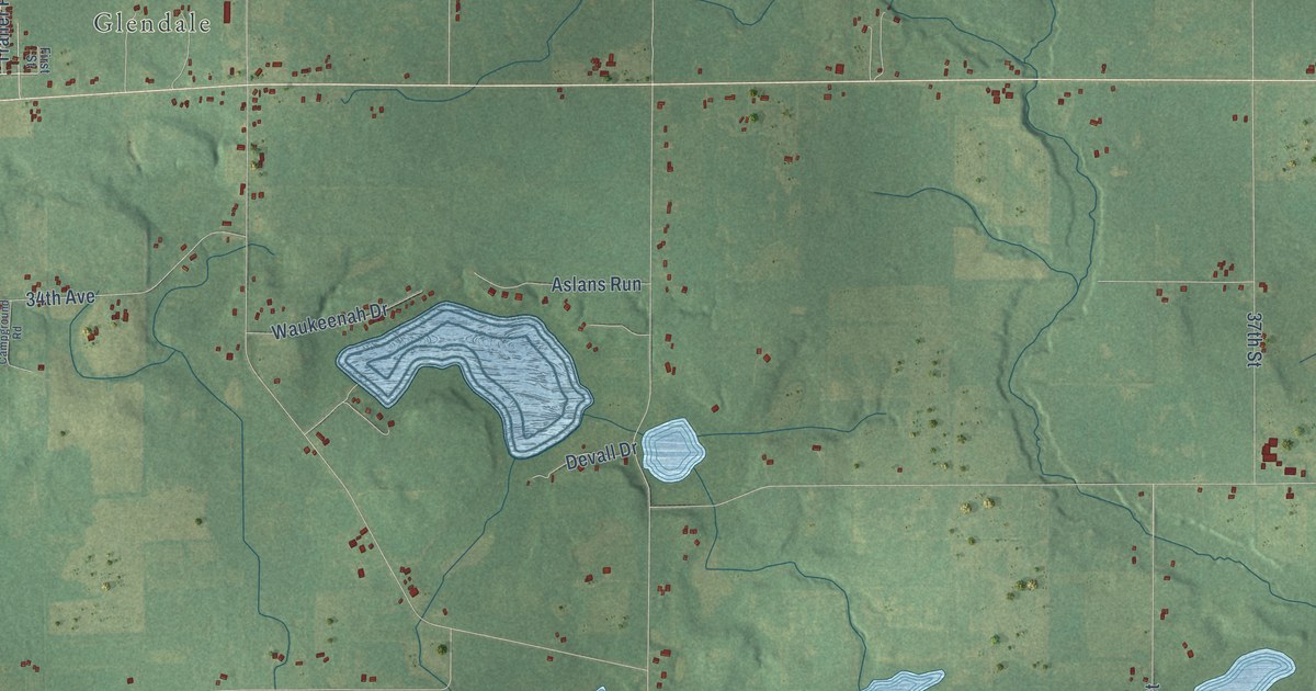
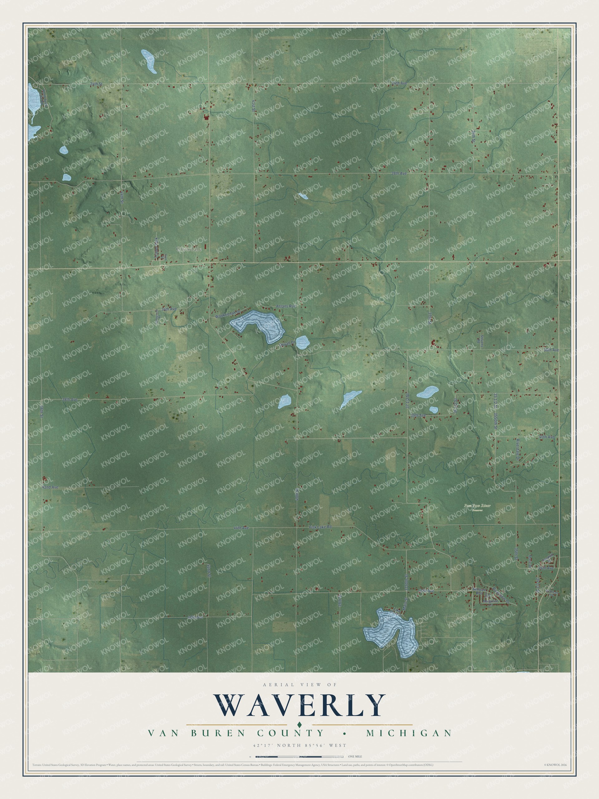
This beautifully detailed map of Waverly, Michigan was created in 2026 using aerial imagery combined with modern topographical, census, street and landmark data. It's a modern aerial view of Waverly in Van Buren County, Michigan, that combines modern data with a vintage aesthetic. The roads feature printed names, and if you look closely you can find your exact house accurately shown in its correct location.
Explore an aerial view of Waverly, Michigan
On this map you'll find Glendale, Trailer Park, 36th Street, 46th Street, 36 1/2 Street, 28th Avenue, 24th Avenue, 24th Street, 44th Avenue, 40th Street, 38th Avenue, 41st Street, and more. Each red shape is a building, so zoom in on the preview and look for yours.
Here is a piece of Waverly history, in the words of the record. The History of Berrien and Van Buren Counties puts it this way: "F. C. Annable, of Almena, then a member of the Legislature, presented the petition for the division, and named both towns, christening Waverly in honor of the novelist Sir Walter Scott, whom he much admired. The first meeting of the electors of Waverly after the division, was held April 4, 1842, when the aggregate vote was but 13."
The Census Bureau counted 2,506 people here in 2020.
Take a closer look at the Waverly map
Names on this map
These names are printed on this map.
Places: Glendale, Paw Paw River Preserve and Trailer Park.
Streets and roads: 36th Street, 46th Street, 28th Avenue, 24th Avenue, 24th Street, 44th Avenue, 40th Street, 38th Avenue, 41st Street, 37th Street, 36th Avenue, 44th Street.
More street names, A to Z
34th Avenue, 35th Street, 39th Avenue, 39th Street, 40th Avenue, 42nd Avenue, 42nd Street, 46th Avenue, 47th Avenue, 48th Avenue, 3550th Street, 3750th Street, Aslans Run, Bellware Boulevard, Campground Road, Devall Drive, First Street, Fisk Lake Road, Klett Road, Lake Shore Drive, Main Street, Margurite Lane, Marie Drive, My Dream Avenue, North Scott Lake Road, Riverdale Drive, Riverview Drive, Stevens Road, Vauxhill Drive, Waukeenah Drive.
Created by KNOWOL in 2026. The buildings are small red shapes, the roads carry their printed names, and shaded relief shows the shape of the land. The title panel reads "AERIAL VIEW OF WAVERLY, VAN BUREN COUNTY • MICHIGAN" with 42°17' NORTH 85°56' WEST.
It suits a den, a classroom or a front hall, and it makes a gift for anyone with Waverly roots. Open the preview and find the block you know. See sizes and frames for the Waverly, Van Buren County map.