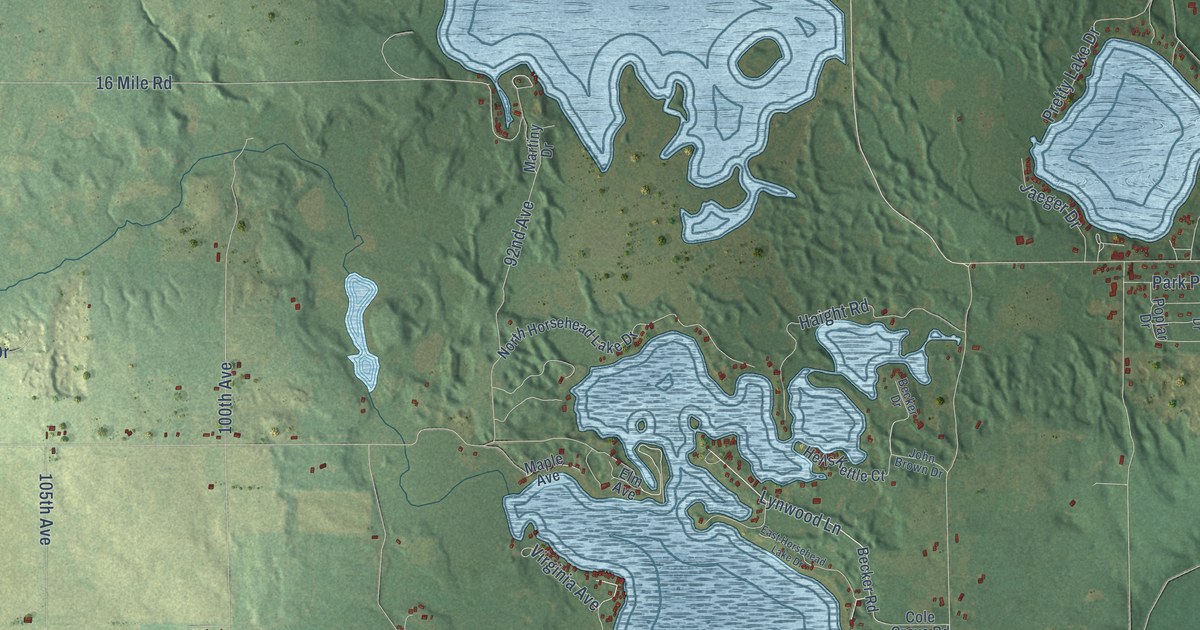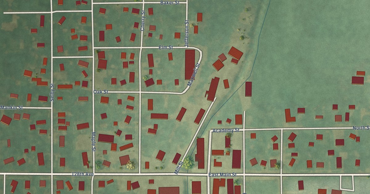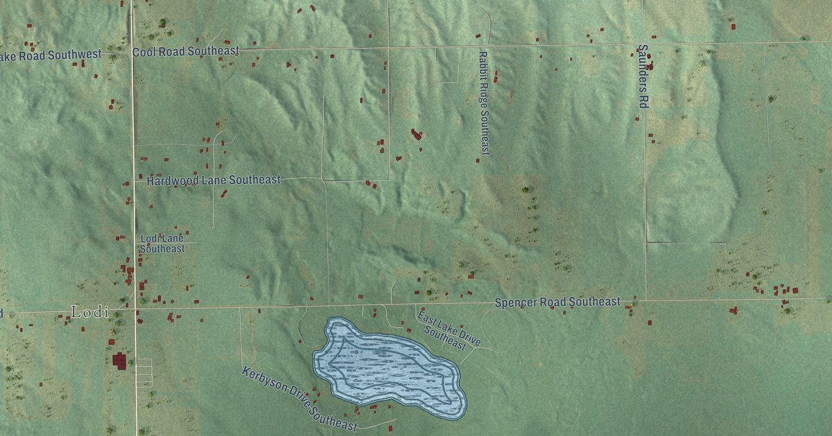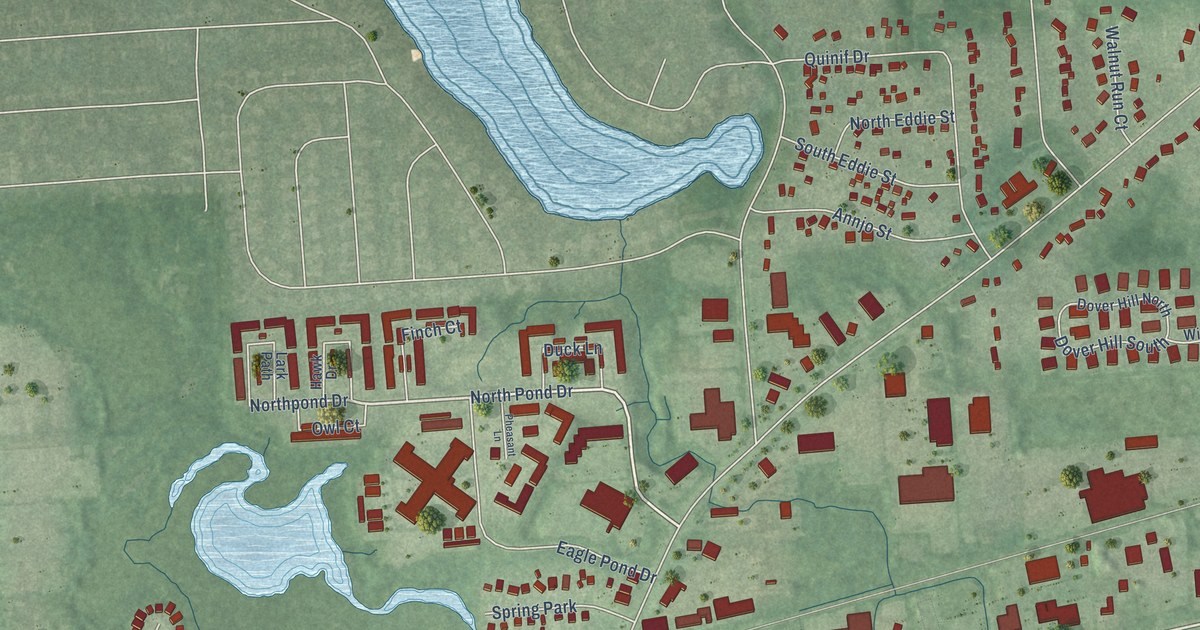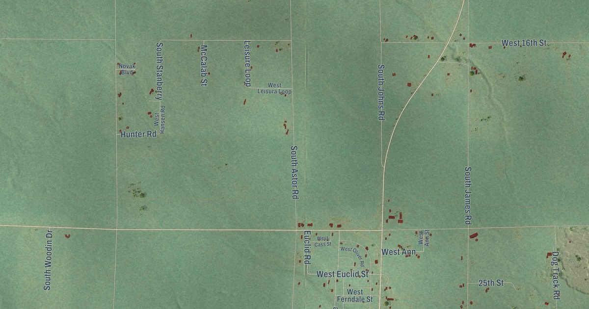
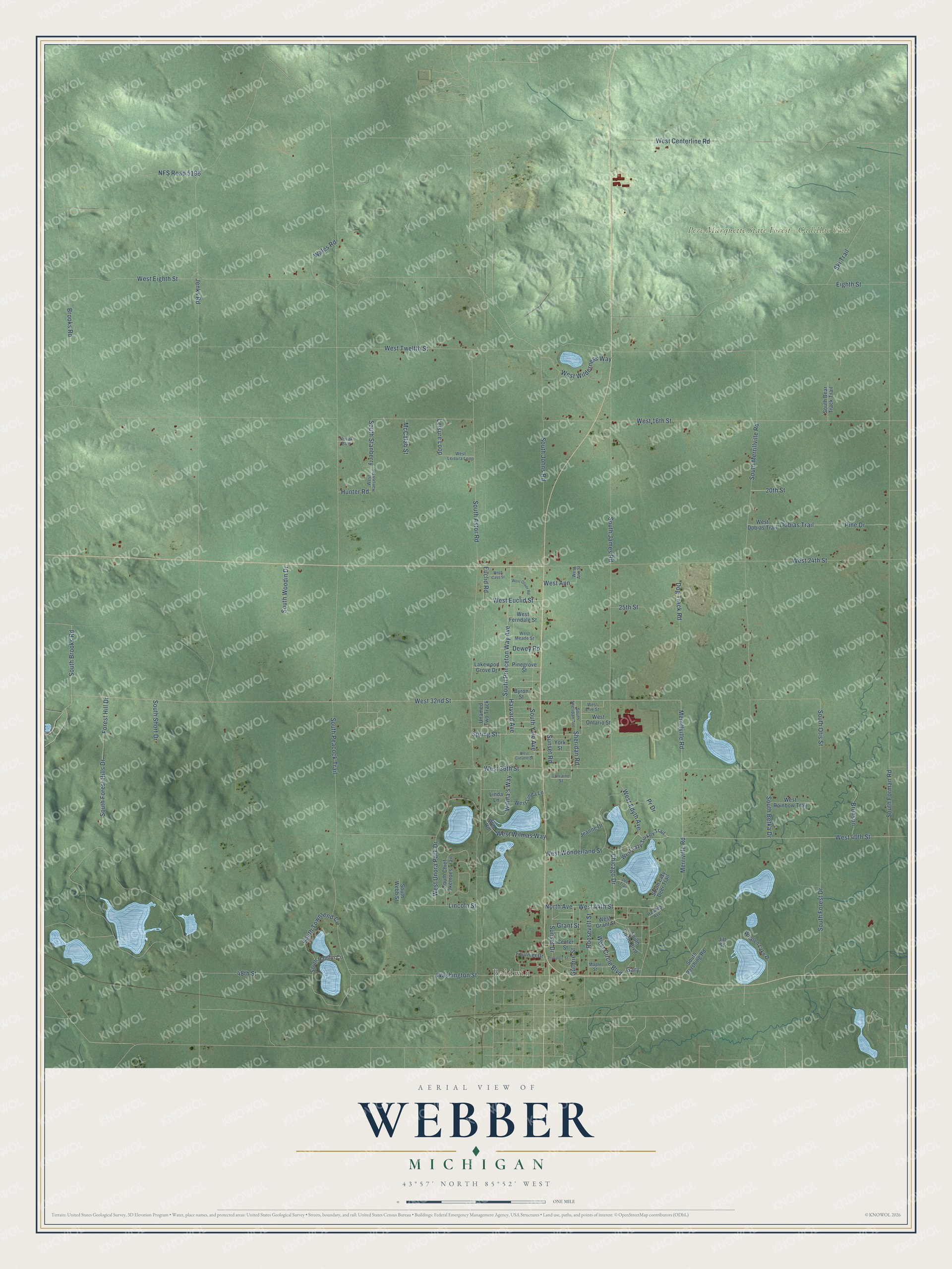
This beautifully detailed map of Webber, Michigan was created in 2026 using aerial imagery combined with modern topographical, census, street and landmark data. It's a modern aerial view of Webber in Lake County, Michigan, that combines modern data with a vintage aesthetic. The roads feature printed names, and if you look closely you can find your exact house accurately shown in its correct location.
Explore an aerial view of Webber, Michigan
On this map you'll find Baldwin, Pere Marquette State Forest – Cadillac Unit, West 40th Street, West Wonderland Street, Chicago Drive, West Circle Boulevard, West Euclid Street, South Brooks Road, West 32nd Street, Euclid Road, South Merrillville Road, Merrillville Road, and more. Each red shape is a building, so zoom in on the preview and look for yours.
Every town has a first chapter, and Webber is no exception. The History of Northern Michigan and Its People puts it this way: "Besides Chase township, during 1871, the first year of county organization, there were created Ellsworth, Pinora and Pleasant Plains townships, Cherry Valley and Webber were formed in 1872, and Elk township in 1874."
The Census Bureau counted 2,384 people here in 2020.
Take a closer look at the Webber map
Names on this map
These names are printed on this map.
Places: Baldwin and Pere Marquette State Forest - Cadillac Unit.
Streets and roads: West 40th Street, West Wonderland Street, Chicago Drive, West Circle Boulevard, West Euclid Street, South Brooks Road, West 32nd Street, Euclid Road, South Merrillville Road, Merrillville Road, West 44th Street, South Princeton Way Avenue.
More street names, A to Z
20th Street, 25th Street, 48th Street, Brooks Road, Brunson, Byron Street, Center Street, Deer Trail, Dewey Road, Dobias Trail, Dog Track Road, Eighth Street, Forest Hill Drive, Fournier Drive, Gary, Grant Street, Guthrie Street, Harding Avenue, Harvard Avenue, Hunter Road, Jeanne Drive, Jenks Road, Jill Street, Lakewood Grove Drive, Leisure Loop, Lincoln Street, Linda Lane, Lorraine Street, Maple Street, McCalab Street, Merriville Road, NFS Road 5196, North Avenue, Novak Boulevard, Pine Drive, Pinegrove Street, Pr Drive, Prospect Street, Roosevelt Street, Sheridan Road, Ski Trail, South Astor Road, South Bear Track Trail, South Betka Drive, South Chief Okemoes Trail, South Circle Boulevard, South Forest Drive, South Forest Hills Drive, South Forman Road, South Hamlin Circle, South James Road, South Johns Road, South Lazy Deer Trail, South Otis Street, South Peacock Trail, South Pershing Road, South Sheridan Avenue, South Short Drive, South Stanberry, South Townsend Circle, South Webb Street, South Woodin Drive, South Yale Avenue, Spring Street, Sunset Drive, Sunset Road, Unamed Two Track, Wales Road, Washington Street, West 16th Street, West 24th Street, West 36th Street, West Ann, West Ann Street, West Cass Street, West Centerline Road, West Cresent Street, West Dobias Trail, West Edyth Avenue, West Eighth Street, West Erie Street, West Ferndale Street, West Grant Street, West Hansen Road, West Lazy Turkey Trail, West Leisura Loop, West Linda Lane, West Meade Street, West Oliver Road, West Ontario Street, West Rainbow Trail, West Twelfth Street, West Unora Park Drive, West Wilderness Way, West Wilmas Way, Whalen Lake Drive, Wilma's Way, Win Road, York Street.
Created by KNOWOL in 2026. The buildings are small red shapes, the roads carry their printed names, and shaded relief shows the shape of the land. The title panel reads "AERIAL VIEW OF WEBBER, MICHIGAN" with 43°57' NORTH 85°52' WEST.
Hang it in the hallway, the office or the cabin, or give it to someone who left Webber and still calls it home. Open the preview and look for a street you know. See sizes and frames for the Webber map.