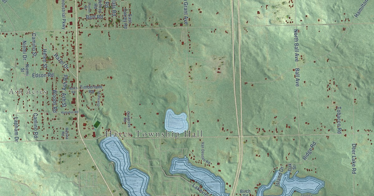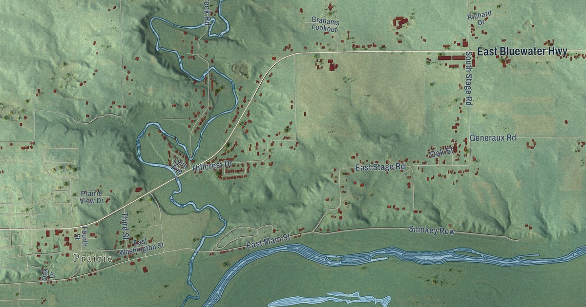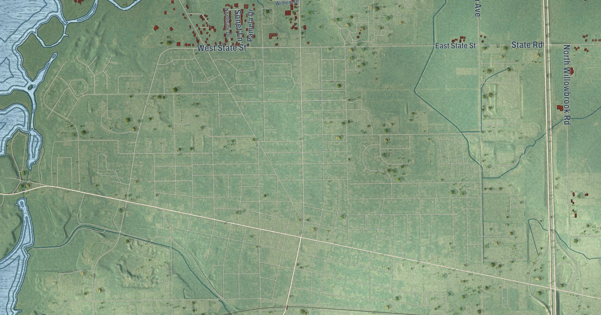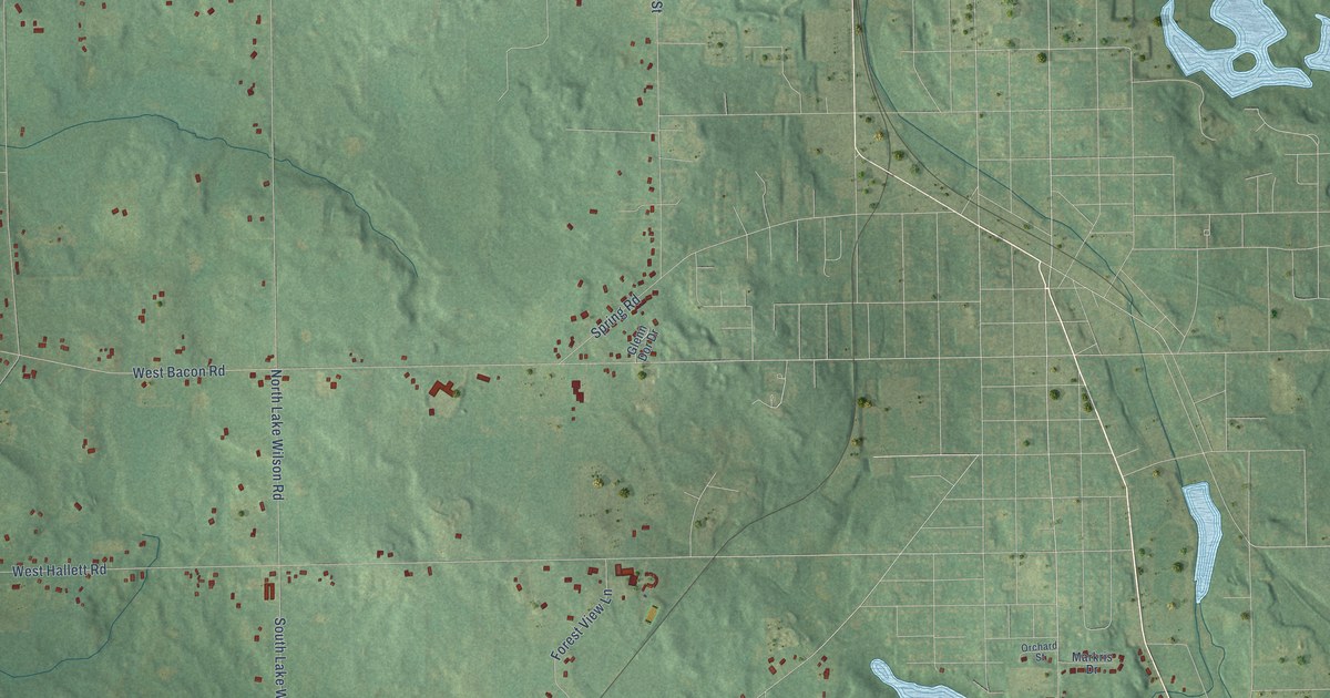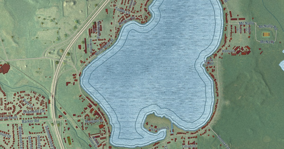
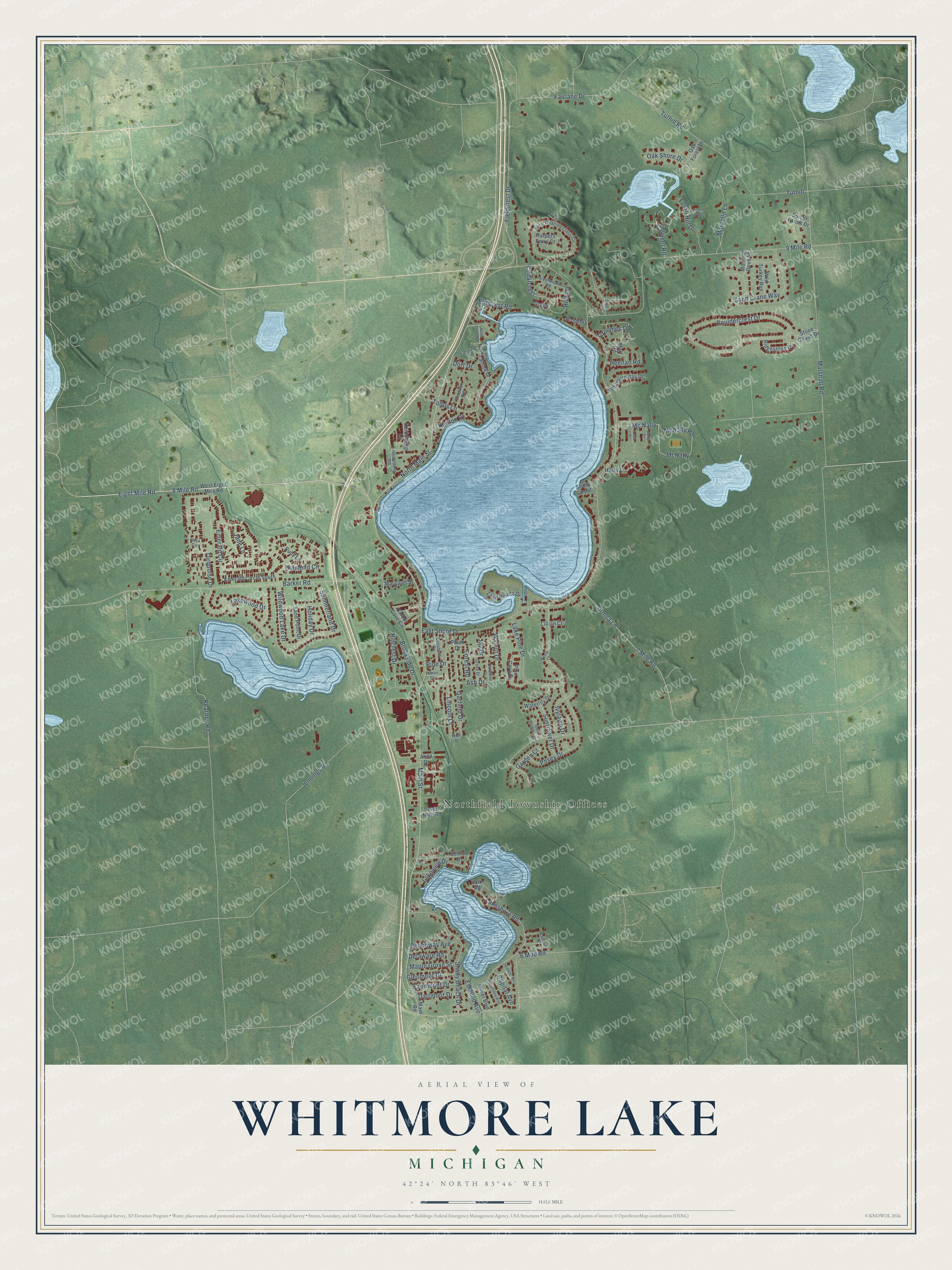
This beautifully detailed map of Whitmore Lake, Michigan was created in 2026 using aerial imagery combined with modern topographical, census, street and landmark data. It's a modern aerial view of Whitmore Lake in Washtenaw County, Michigan, that combines modern data with a vintage aesthetic. The roads feature printed names, and if you look closely you can find your exact house accurately shown in its correct location.
Explore an aerial view of Whitmore Lake, Michigan
On this map you'll find Northfield Township Offices, Main Street, Eight Mile Road, 8 Mile Road, North Main Street, 6 Mile Road, Lincoln Drive, East Shore Drive, Lakeshore Road, Tuthill, Donna Lane, Garfield Drive, and more. Each red shape is a building, so zoom in on the preview and look for yours.
Every town has a first chapter, and Whitmore Lake is no exception. The History of Washtenaw County puts it this way: "The first hotel at Whitmore Lake was kept by A. Burt. He remained landlord only a short time, when he sold out to Mr. Stevens in 1831 or 1833."
Whitmore Lake is a community in Washtenaw County. The Census Bureau counted 7,584 people here in 2020.
Take a closer look at the Whitmore Lake map
Names on this map
These names are printed on this map.
Places: Northfield Township Offices.
Streets and roads: Main Street, Eight Mile Road, 8 Mile Road, North Main Street, 6 Mile Road, Lincoln Drive, East Shore Drive, Lakeshore Road, Tuthill, Donna Lane, Garfield Drive, 9 Mile Road.
More street names, A to Z
7 Mile Road, Anna Drive, Apple Blossom Court, Ash Drive, Barker Road, Beachway Avenue, Birch Drive, Bouldercrest Drive, Brookside Drive, Butternut Drive, Calumet Road, Capital Avenue, Cedarcrest, Dartmoor Drive, Delaware Road, Diamond Circle, Dnr Park Road, Dort Drive, Edmund Avenue, Elizabeth Drive, Elmcrest Road, Elmdale Road, Emerald Circle, Emerald Circle South, Fairlane Drive, Fairmount Drive, Fieldcrest Drive, Forest Road, Fossil Hill Court, Fossil Hill Drive, Garden Court, Glenmoor Drive, Greenwood Road, Groomes Drive, Grove, Grove Drive, Haley Lane, Harbor Cove Circle, Harpers Ferry Court, Heenan Road, Heidelberg Lane, Heidelberg Road, Hickory, Hillcrest Drive, Holiday Drive, Horseshoe Boulevard, Ivylawn Drive, Jade Lane, Jay Drive, Jennings Road, Julia Drive, Kearney Road, Kenton Drive, Lake Pine Drive, Lake Pointe Drive, Lakeview Drive, Lakewood Drive, Leonard Avenue, Lesia Drive, Lillian Court, Main Road, Maple Grove Street, Marcello Lane, Margaret Street, Marshall Road, Mart Road, Mc Nally, McNally, McNally Road, Morning Dove Lane, North Shore Drive, North Shore Road, Oak Forest Drive, Oak Shore Drive, Oliver Boulevard, Onyx Circle, Overland Drive, Park Road, Phlox Drive, Pine Cove Drive, Pine Drive, Posey Court, Posey Drive, Raphael Street, Ridgestone Drive, Rosaltha, Ruby Lane, Sand Crane Way, Sand Point Drive, Schrum Drive, Seven Mile Road, Shady Beach Drive, Shady Cedar, Spicer Farms Drive, Stone Chase Drive, Summerland Drive, Sunflower Drive, Tillman Court, Todds Lane, Turquoise Drive, Tuthill Road, Walnut Drive, Waterlily Drive, West Charring Cross Circle, West Eight Mile Road, Whitmore Bay Drive, Wild Turkey Run, Wildwood Lake Drive.
Created by KNOWOL in 2026. The buildings are small red shapes, the roads carry their printed names, and shaded relief shows the shape of the land. The title panel reads "AERIAL VIEW OF WHITMORE LAKE, MICHIGAN" with 42°24' NORTH 83°46' WEST.
Hang it in the hallway, the office or the cabin, or give it to someone who left Whitmore Lake and still calls it home. Open the preview and look for a street you know. See sizes and frames for the Whitmore Lake map.