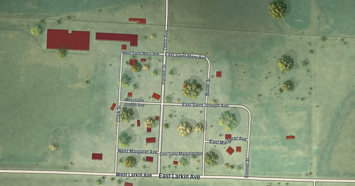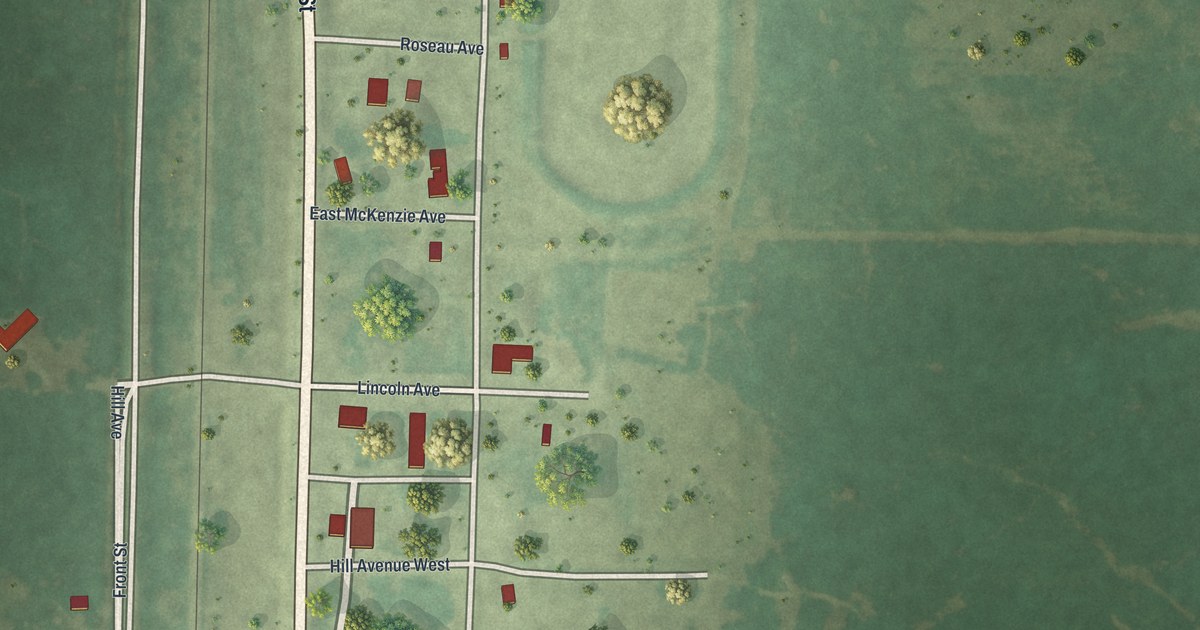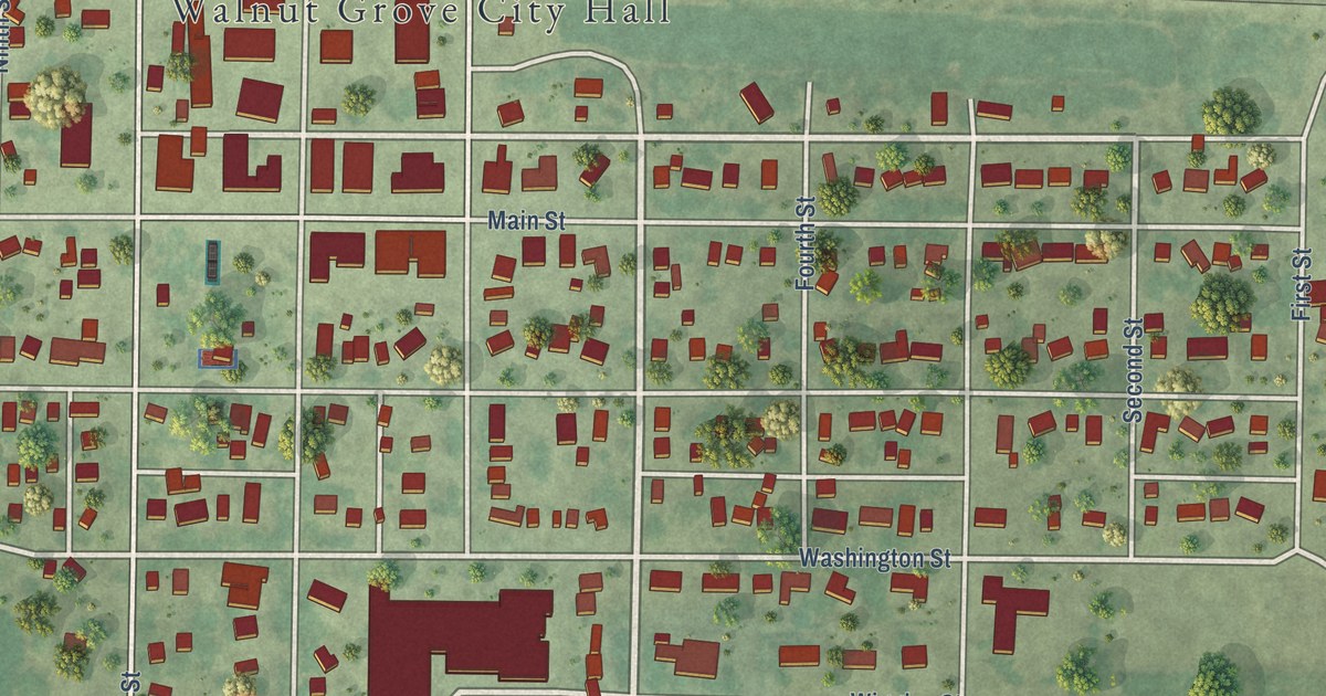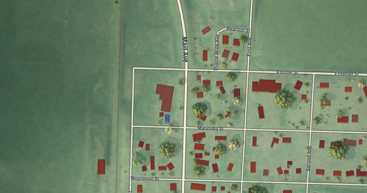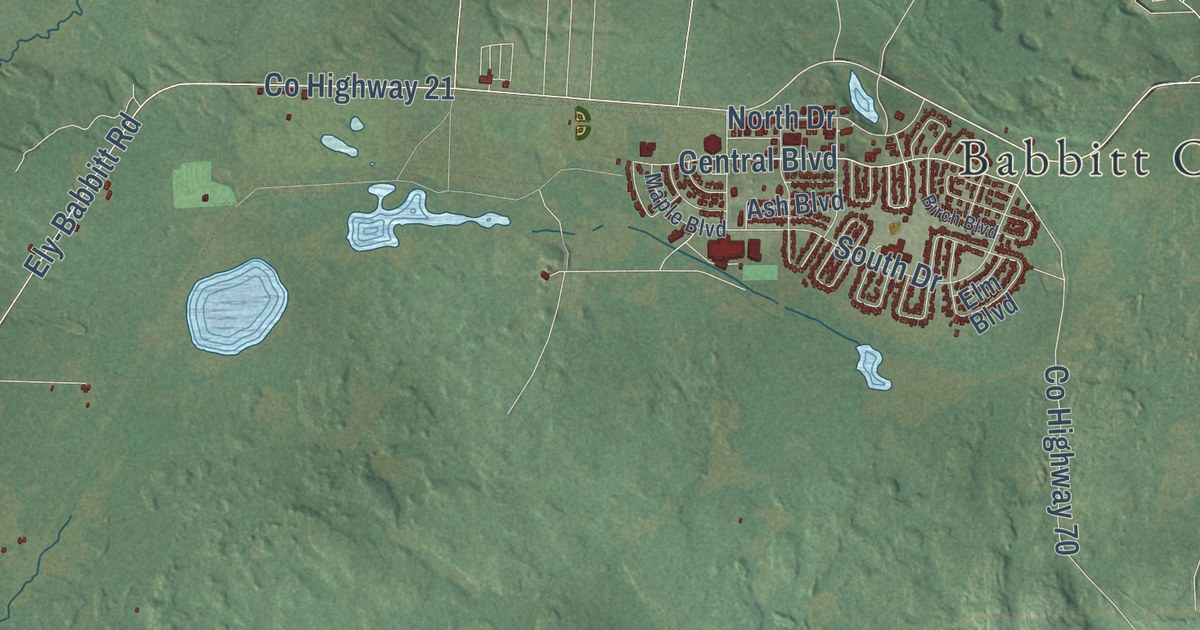
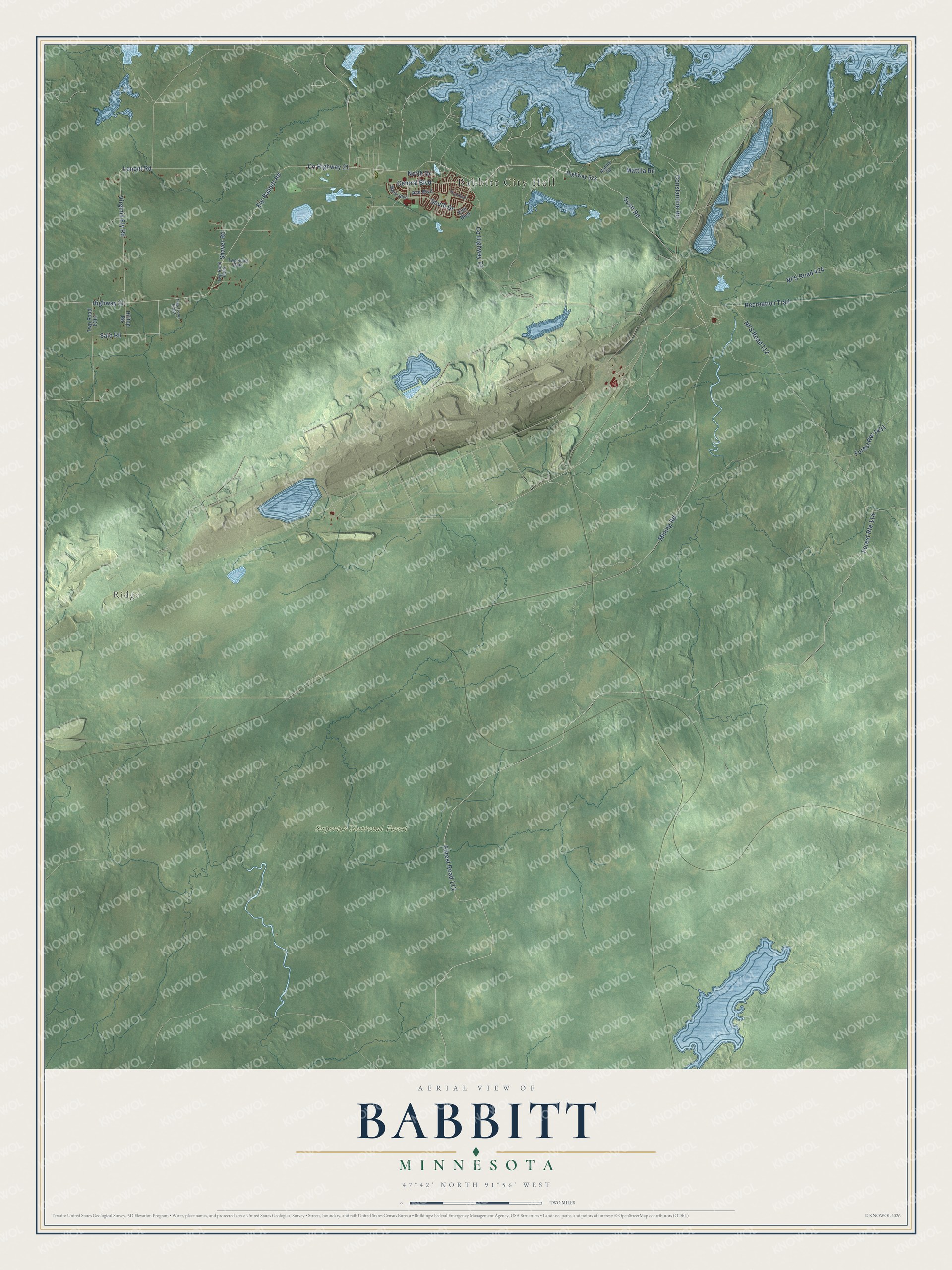
This beautifully detailed map of Babbitt, Minnesota was created in 2026 using aerial imagery combined with modern topographical, census, street and landmark data. It’s a one-of-a-kind view of Babbitt that combines accurate data with a vintage aesthetic. The map shows every building in its true location, many of the roads carry their names, and the shaded topographic relief shows the shape of the land.
Explore an aerial view of Babbitt, Minnesota
On the map you’ll find Babbitt City Hall, Ridge, and Superior National Forest, along with Scott Road, County Highway 70, Mining Road, Highway 623, Highway 21, County Highway 21, Lenont Road, Shaver Road, Central Boulevard, and more. If you look closely you can even find your house accurately drawn in its correct location. Zoom in on the preview to look for yours.
Did you know this piece of Babbitt, Minnesota history?
From the 1921 Duluth and St. Louis County, Minnesota; their story and people; an authentic narrative of the past, with particular attention to the modern era in the commercial, industrial, educational, civic and social development: "Babbitt takes its name from Judge K. R. Babbitt, who for many years has been chief legal advisor for the firm of Hayden, Stone & Co., and who died at the time a name was under consideration. Judge Babbitt was formerly a resident of Denver, and his wife was a sister of Thos. Cullyford, who for many years operated the St. Louis Hotel, at Duluth."
Take a closer look at the Babbitt map
Street and place names on the Babbitt, Minnesota map
These names are printed on the map of Babbitt, Minnesota.
Places: Babbitt City Hall, Ridge and Superior National Forest.
Streets and roads: Mining Road, Scott Road, County Highway 70, Highway 21, Forest Route 114, NFS Road 424, Recreation Trail, NFS Road 112, County Highway 21, Lenont Road, Shaver Road, Virginia Ely Road.
More street names, A to Z
Ash Boulevard, Birch Boulevard, Central Boulevard, Constantine Road, Elm Boulevard, Ely-Babbitt Road, Forest Road 113, Forest Route 1431, Highway 623, Hilltop Road, Maple Boulevard, Matilla Road, Mattila Road, North Drive, Salo Road, South Drive, Twp Road 6301, Twp Road 6302, Twp Road 6304, Twp Road 6305.
See the Babbitt, Minnesota map on a wall
The Babbitt map as an 18 x 24 inch print in a black frame.

This beautifully detailed map of Babbitt makes an attractive addition to your office, library, or den, and it can even be used to teach children the geography and history of the area. It also makes a great gift for anyone who grew up in Babbitt or moved away. When you’re done exploring, click here to get your copy of the Babbitt map.