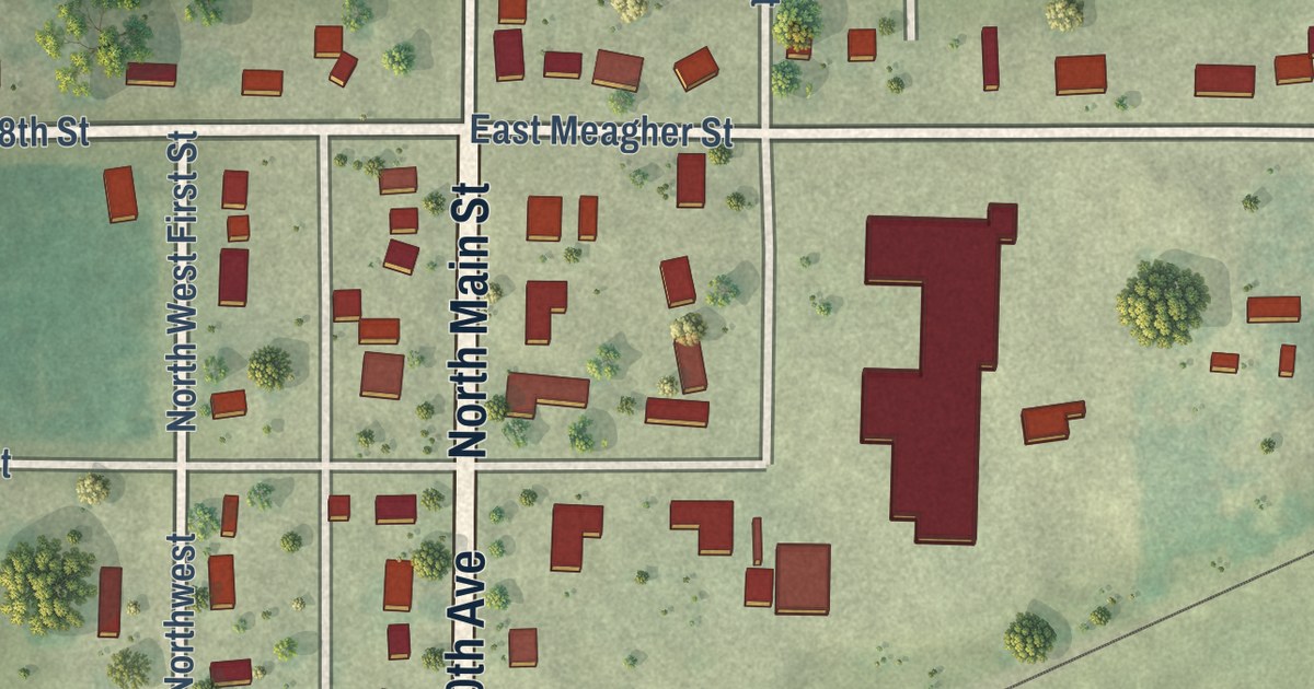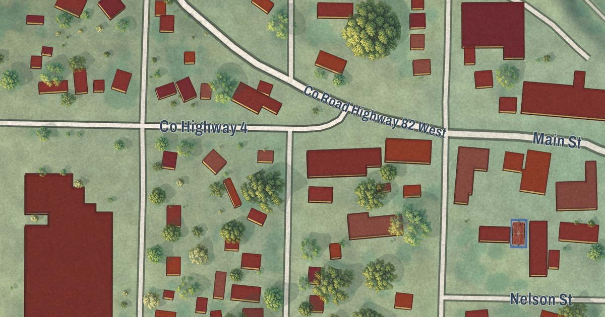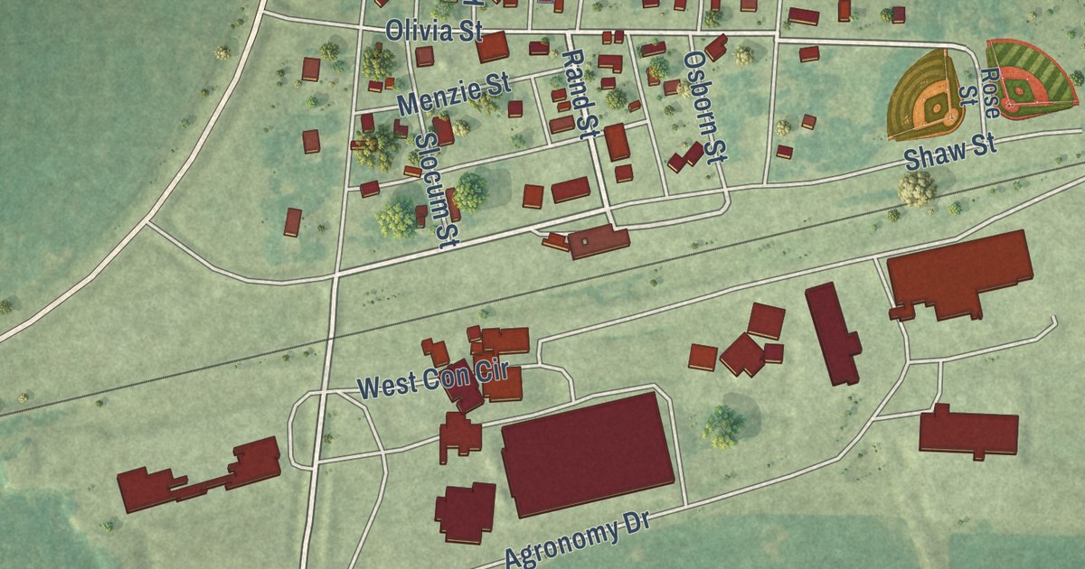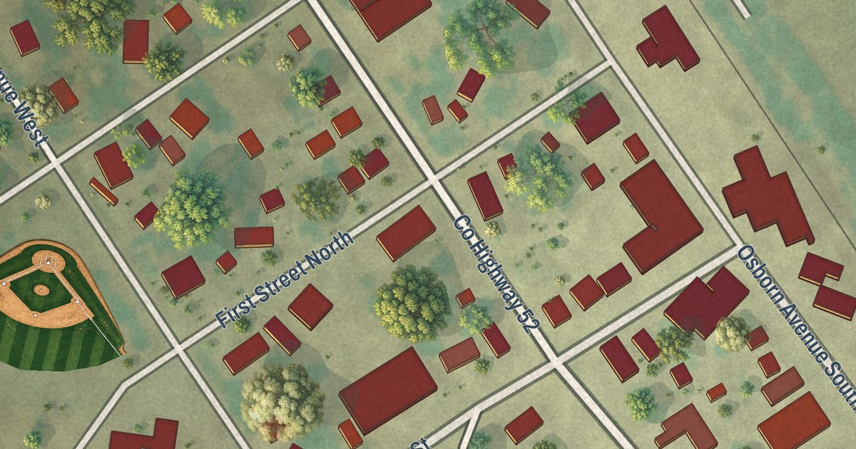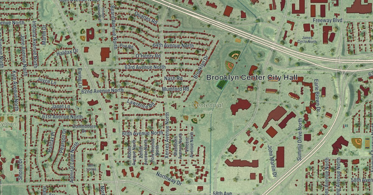
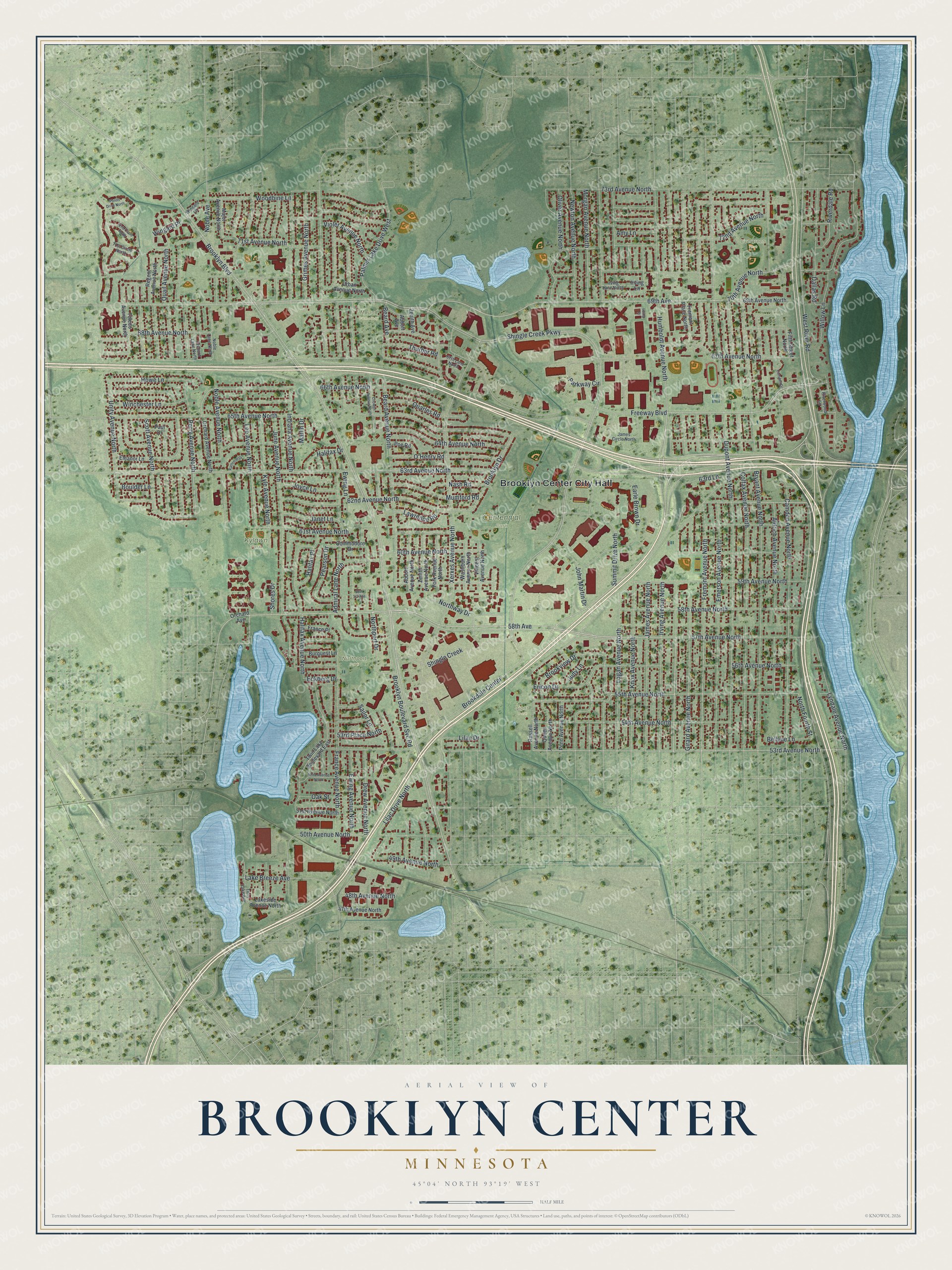
This beautifully detailed map of Brooklyn Center, Minnesota was created in 2026 using aerial imagery combined with modern topographical, census, street and landmark data. It’s a one-of-a-kind view of Brooklyn Center that combines accurate data with a vintage aesthetic. The map shows every building in its true location, many of the roads carry their names, and the shaded topographic relief shows the shape of the land.
Explore an aerial view of Brooklyn Center, Minnesota
On the map you’ll find Brooklyn Center City Hall, Centennial Park, Evergreen Park, Kylawn Park, Northport Park, Lions Park, and Mound Cemetery, along with 65th Avenue North, 66th Avenue North, 63rd Avenue North, Kyle Avenue North, Perry Avenue North, and more. If you look closely you can even find your house accurately drawn in its correct location. Zoom in on the preview to look for yours.
Did you know this piece of Brooklyn Center, Minnesota history?
From the Minnesota Historical Society: "The Eastern bluebird, indigenous to North and Central America, is said to have once been as common as the American robin. A population decline starting in the early twentieth century reduced the number of Eastern bluebirds by an estimated 90 percent, inspiring a grassroots movement to save them. Key to the movement’s success was the Peterson bluebird nest box, designed by Dick and Vi Peterson of Brooklyn Center."
Take a closer look at the Brooklyn Center map
Street and place names on the Brooklyn Center, Minnesota map
These names are printed on the map of Brooklyn Center, Minnesota.
Places: Brooklyn Center City Hall, Centennial Park, Evergreen Park, Kylawn Park, Northport Park, Lions Park and Mound Cemetery.
Streets and roads: 65th Avenue North, 66th Avenue North, 63rd Avenue North, Kyle Avenue North, Perry Avenue North, 61st Avenue North, West River Road, 58th Avenue, 57th Avenue North, Lee Avenue North, 62nd Avenue North, Fremont Avenue North.
More street names, A to Z
47th Avenue North, 48th Avenue North, 49th Avenue North, 50th Avenue North, 51st Avenue North, 52nd Avenue North, 53rd Avenue North, 53rd Place North, 54th Avenue North, 55th Avenue North, 56th Avenue North, 58th Avenue North, 59th Avenue North, 60th Avenue North, 63rd Lane, 64th Avenue North, 67th Avenue North, 67th Lane North, 68th Avenue North, 69th Avenue, 69th Avenue North, 70th Avenue North, 71st Avenue North, 71st Circle North, 72nd Avenue North, 72nd Circle North, 73rd Avenue North, Abbott Avenue, Abbott Avenue North, Admiral Lane North, Aldrich Avenue North, Amy Lane, Beard Avenue, Beard Avenue North, Bellvue Lane, Boulder Lane, Brookdale Center, Brooklyn Boulevard, Brooklyn Boulevard Svc Road, Brooklyn Drive, Brookview Drive, Bryant Avenue North, Burquest Lane, Camden Avenue North, Camden Drive, Chowen Avenue North, Colfax Avenue North, Commodore Drive, Dallas Road, Drew Avenue North, Dupont Avenue North, Earle Brown Drive, Eckberg Drive, Eleanor Lane, Emerson Avenue North, Ericon Drive, Ewing Avenue North, Ewing Lane, Fifth Street North, France Avenue North, France Place, Freeway Boulevard, Fremont Place North, Girard Avenue North, Grimes Avenue North, Halifax Avenue North, Halifax Drive, Halifax Place, Howe Lane, Humboldt Avenue North, Indiana Avenue North, Irving Avenue North, Irving Lane, Irving Lane North, Irving Place, James Avenue North, James Circle North, Janet Lane, John Martin Drive, Joyce Lane, Judy Lane, June Avenue North, Kathrene Drive, Knox Avenue North, Lake Breeze Avenue, Lakeside Avenue North, Lawrence Road, Lilac Drive, Lilac Drive North, Logan Avenue North, Lyndale Avenue North, Major Avenue North, Marlin Drive, Morgan Avenue North, Mumford Road, Nash Road, Newton Avenue North, Noble Avenue, Noble Avenue North, Noble Lane North, North Fourth Street, Northport Drive, Northway Drive, O'Henry Road, Oak Street, Oliver Avenue North, Orchard Avenue, Orchard Avenue North, Orchard Lane North, Palmer Lake Drive West, Parkway Circle, Paul Drive, Pearson Drive, Penn Avenue North, Poe Road, Ponds Drive North, Quail Avenue North, Quarles Road, Queen Avenue North, Regent Avenue North, Riverdale Road, Riverwood Lane, Russell Avenue North, Sailor Lane, Scott Avenue North, Shingle Creek, Shingle Creek Parkway, Shores Drive, Summit Drive North, Thurber Road, Toledo Avenue North, Twin Lake Avenue, Twin Lake Boulevard East, Unity Avenue North, Urban Avenue North, Vincent Avenue North, Violet Avenue North, Washburn Avenue North, Willow Lane, Winchester Lane, Wingard Lane, Wingard Place, Woodbine Lane, Xerxes Avenue North, York Avenue North, Zenith Avenue, Zenith Avenue North.
See the Brooklyn Center, Minnesota map on a wall
The Brooklyn Center map as an 18 x 24 inch print in a black frame.

This beautifully detailed map of Brooklyn Center makes an attractive addition to your office, library, or den, and it can even be used to teach children the geography and history of the area. It also makes a great gift for anyone who grew up in Brooklyn Center or moved away. When you’re done exploring, click here to get your copy of the Brooklyn Center map.