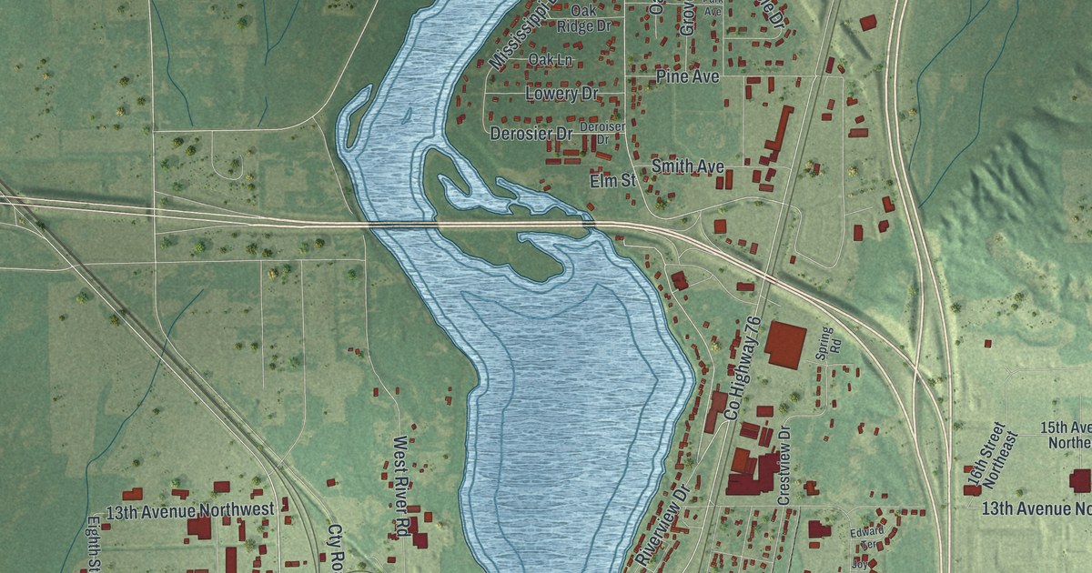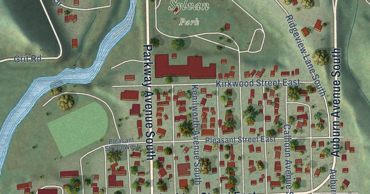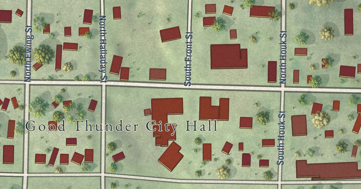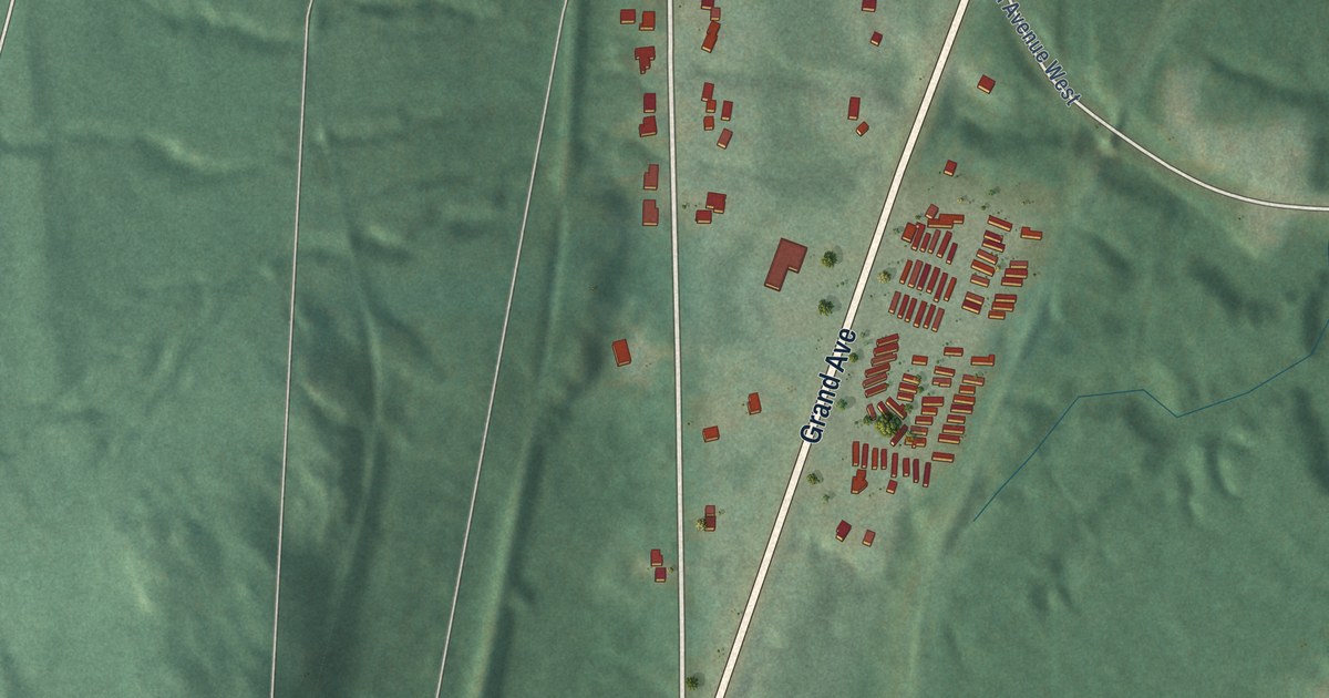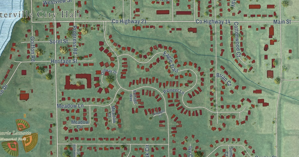
This beautifully detailed map of Centerville, Minnesota was created in 2026 using aerial imagery combined with modern topographical, census, street and landmark data. It’s a one-of-a-kind view of Centerville that combines accurate data with a vintage aesthetic. The map shows every building in its true location, many of the roads carry their names, and the shaded topographic relief shows the shape of the land.
Explore an aerial view of Centerville, Minnesota
On the map you’ll find Centerville City Hall, Laurie Lamotte Memorial Park, and Rice Creek Chain of Lakes Park, along with County Highway 21, 20th Avenue North, County Highway 14, Main Street, Dupre Road, Centerville Road, Brian Drive, Peltier Lake Drive, Center Street, and more. If you look closely you can even find your house accurately drawn in its correct location. Zoom in on the preview to look for yours.
Did you know this piece of Centerville, Minnesota history?
From the Minnesota Historical Society Collections: "In 1854 Charles Peltier built a sawmill, and in company with F. X. Lavallee and Francis Lamotte platted the village of Centerville. The settlers in the village and vicinity were mostly French, and this came to be known as the French settlement."
Take a closer look at the Centerville map
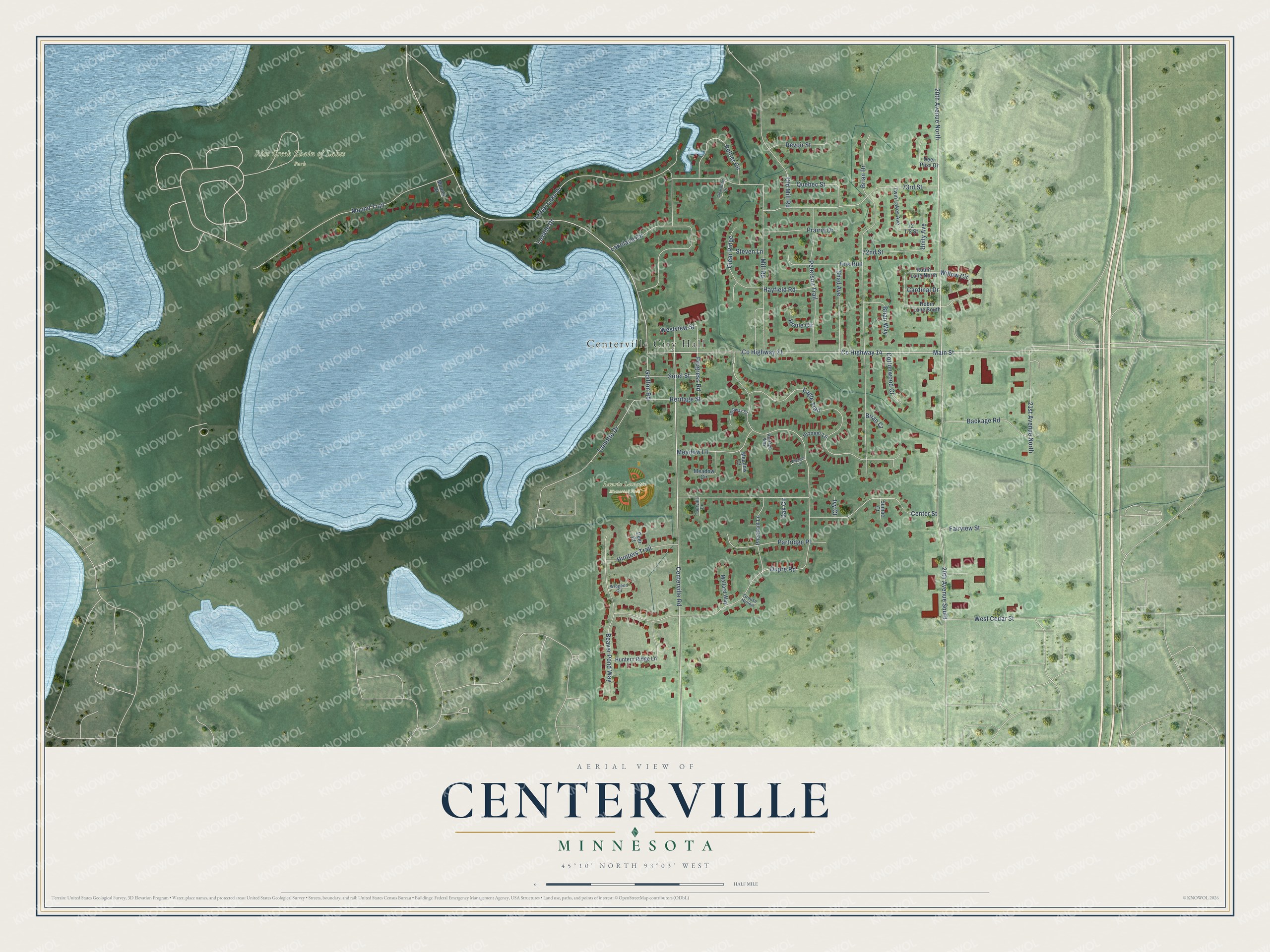
Street and place names on the Centerville, Minnesota map
These names are printed on the map of Centerville, Minnesota.
Places: Centerville City Hall, Laurie Lamotte Memorial Park and Rice Creek Chain of Lakes Park.
Streets and roads: County Highway 21, 20th Avenue North, County Highway 14, Main Street, Dupre Road, Centerville Road, Brian Drive, Peltier Lake Drive, Center Street, 20th Avenue South, Eagle Trail, Mound Trail.
More street names, A to Z
21st Avenue North, 72nd Street, 73rd Street, Backage Road, Beaver Pond Way, Brian Court, Brian Way, Cardinal Drive, Clear Ridge, Clearwater Drive, Cottonwood Court, Deer Court, Deer Pass Drive, Fairview Street, Fox Run, Goiffon Road, Grouse Hollow, Hayfield Road, Heritage Street, Houle Circle, Hunters Ridge Lane, Hunters Trail, Ivy Court, Lakeland Circle, Lamotte Drive, Lavalle Drive, Mallard Way, Meadow Circle, Meadow Court, Meadow Lane, Mill Road, Mound Court, Oak Circle, Ojibway Drive, Old Mill Road, Partridge Place, Peltier Circle, Peterson Trail, Pheasant Lane, Pioneer Lane, Portage Way, Prairie Drive, Progress Road, Quebec Street, Revoir Street, Robin Lane North, Robin Lane South, Shad Avenue, Sorel Street, Steven Lane, Sumac Court, Tourville Circle, Twin Lakes Avenue, Unity Avenue, Voyager Court, West Cedar Street, Westview Street, Widgeon Circle, Willow Circle.
See the Centerville, Minnesota map on a wall
The Centerville map as an 18 x 24 inch print in a black frame.

This beautifully detailed map of Centerville makes an attractive addition to your office, library, or den, and it can even be used to teach children the geography and history of the area. It also makes a great gift for anyone with Centerville roots. When you’re done exploring, click here to get your copy of the Centerville map.