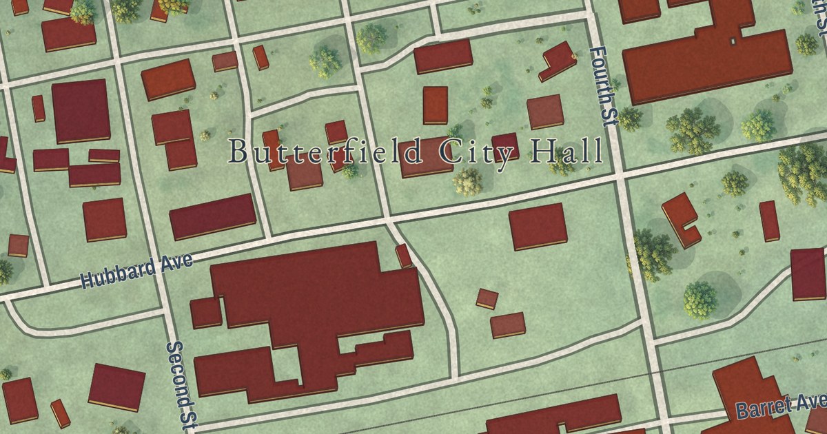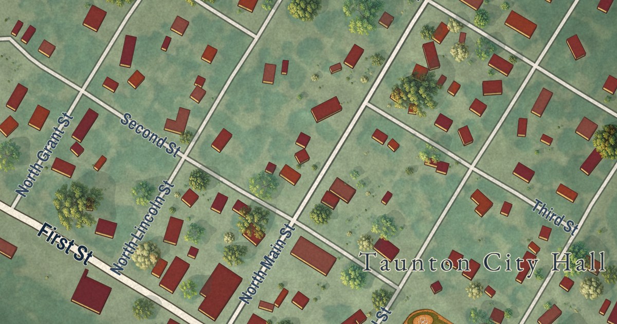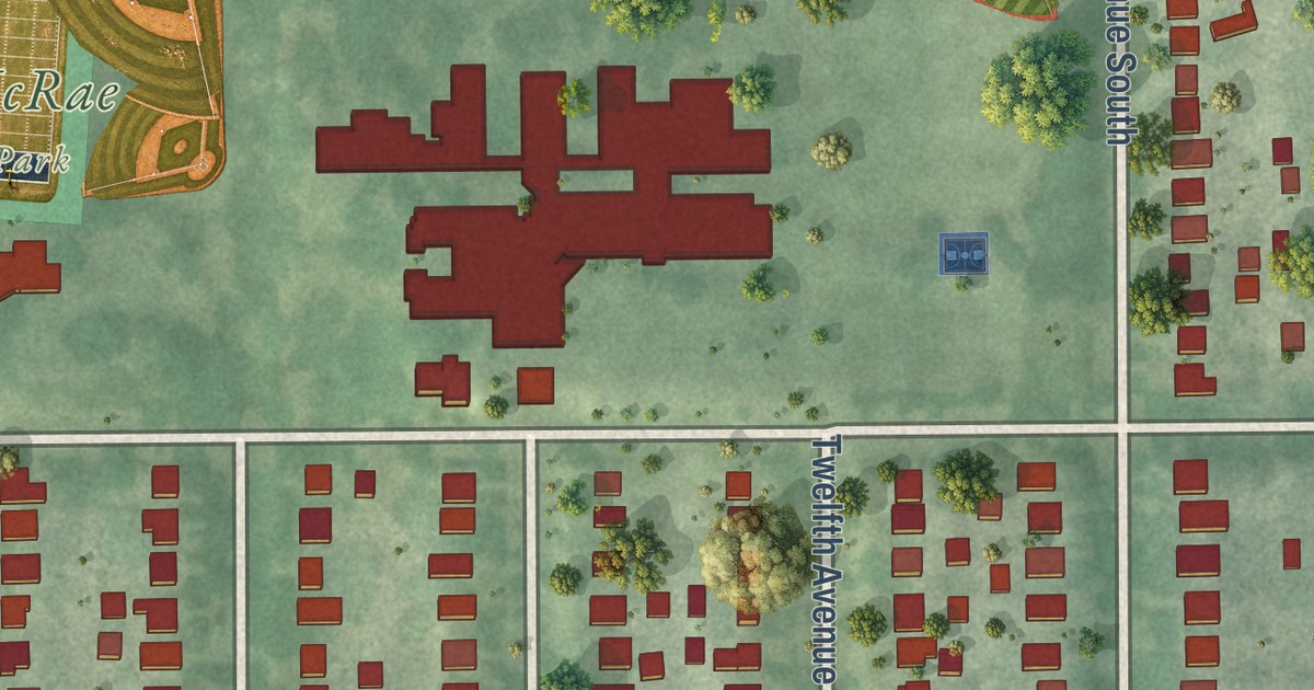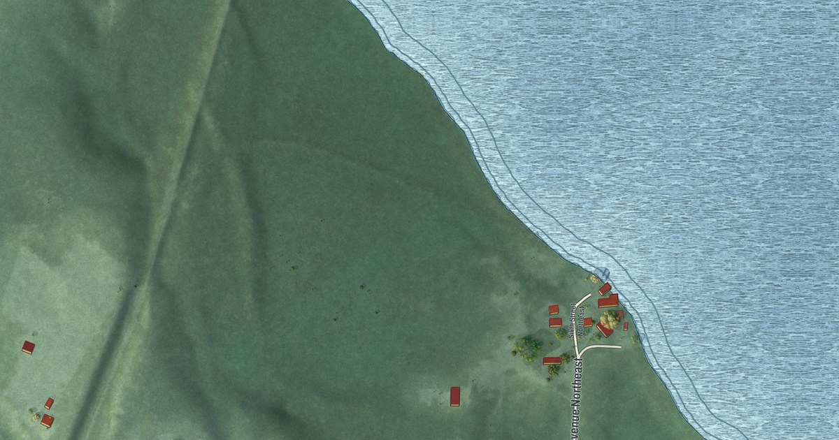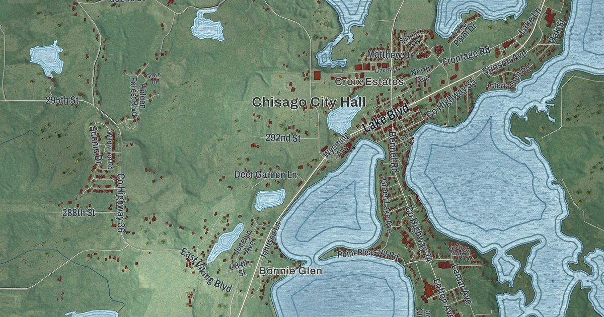
This beautifully detailed map of Chisago City, Minnesota was created in 2026 using aerial imagery combined with modern topographical, census, street and landmark data. It’s a one-of-a-kind view of Chisago City that combines accurate data with a vintage aesthetic. The map shows every building in its true location, many of the roads carry their names, and the shaded topographic relief shows the shape of the land.
Explore an aerial view of Chisago City, Minnesota
On the map you’ll find Chisago City Hall, Croix Estates, Bonnie Glen, and Carlos Avery Wildlife Management Area, along with Lake Boulevard, Wyoming Trail, County Highway 24, Lofton Avenue, Itasca Avenue North, 240th Street, Karmel Avenue, County Highway 36, and more. If you look closely you can even find your house accurately drawn in its correct location. Zoom in on the preview to look for yours.
Did you know this piece of Chisago City, Minnesota history?
From Warren Upham’s 1920 Minnesota Geographic Names: "Chisago City, also a village in Chisago Lake township, was platted in 1855, taking its name from the lake."
Take a closer look at the Chisago City map
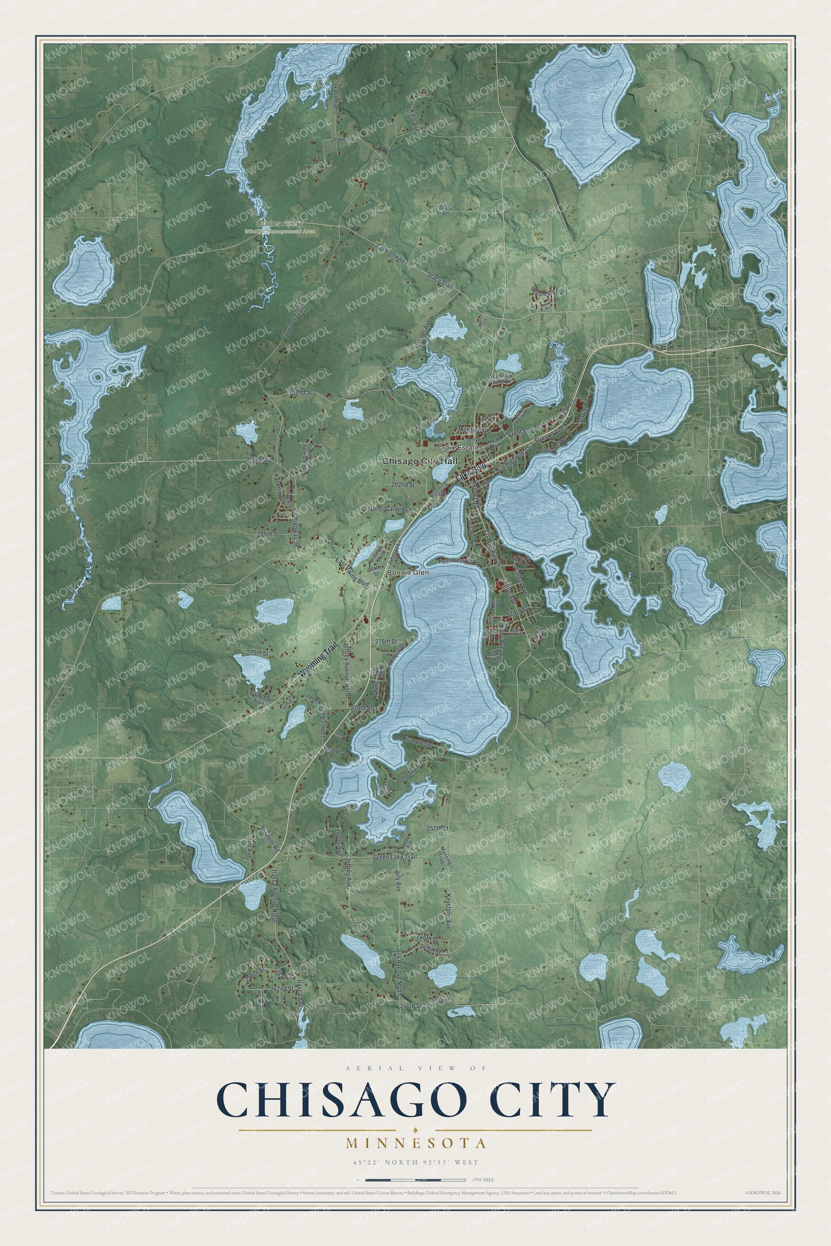
Street and place names on the Chisago City, Minnesota map
These names are printed on the map of Chisago City, Minnesota.
Places: Chisago City Hall, Croix Estates, Bonnie Glen and Carlos Avery Wildlife Management Area.
Streets and roads: Lake Boulevard, Wyoming Trail, County Highway 24, Lofton Avenue, Itasca Avenue North, 240th Street, Karmel Avenue, County Highway 36, Frontage Road, 295th Street, Ivywood Trail, County Highway 19.
More street names, A to Z
240th Street North, 242nd Street, 243rd Street, 244th Street, 245th Street, 246th Street, 257th Street, 270th Street, 275th Street, 276th Street, 279th Street, 284th Street, 288th Street, 292nd Street, 302nd Street, 320th Street, Bennet Road, Bristol Road, Camp Ojiketa, County Highway 35, Deer Garden Lane, Eagle Ridge Court, East Viking Boulevard, Green Lake Avenue, Green Lake Trail, Grove Drive, Hidden Forest Boulevard, Interlachen Road, Inwood Avenue, Iris Avenue, Irish Avenue, Ironwood Trail, Isle Drive, Itasca Avenue, James Avenue, James Court, Jason Avenue, Jasper Court, Jeffrey Avenue, Jeffrey Avenue North, Jewel Court, Jewel Lane, Jocelyn Avenue, Jody Avenue, Jody Court, John Avenue, Johnson Lane, John Trail, Jonquil Drive, July Avenue, July Avenue North, Juno Court, Justen Avenue, Kale Avenue, Kent Avenue, Kent Court, Keystone Avenue, Kirby Avenue, Kismet Isle, Lacy Avenue, Lake Avenue, Lake Lane, Lake Point Drive, Lamar Avenue, Latham Lane, Liberty Lane, Manning Trail, Matthew Drive, Mattson Lane, North Avenue, Oak Street, Pioneer Road, Point Pleasant Road, Ridge Point Boulevard, Ridge Point Drive, Scenic Drive, Sharon's Way, Stacy Trail, Stinson Avenue, Wallmark Lake Drive, Wildwood Road, Wyoming Avenue.
See the Chisago City, Minnesota map on a wall
The Chisago City map as an 18 x 24 inch print in a black frame.

This beautifully detailed map of Chisago City makes an attractive addition to your office, library, or den, and it can even be used to teach children the geography and history of the area. It also makes a great gift for anyone who grew up in Chisago City or moved away. When you’re done exploring, click here to get your copy of the Chisago City map.