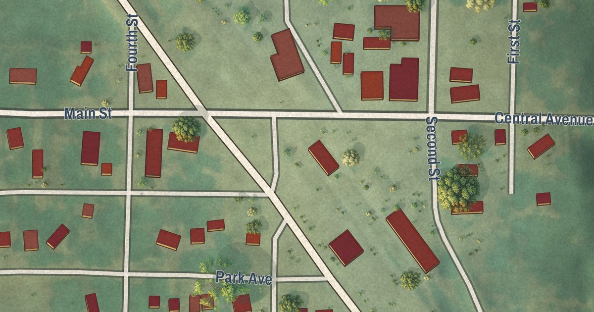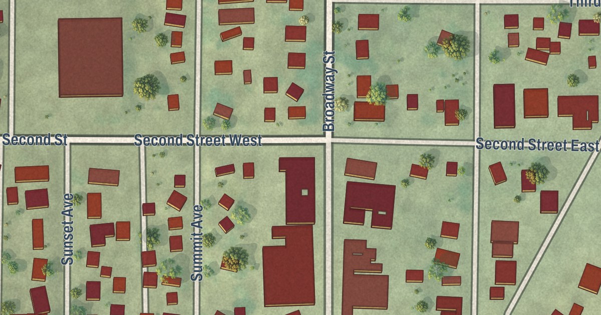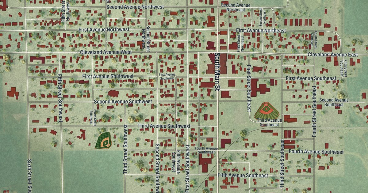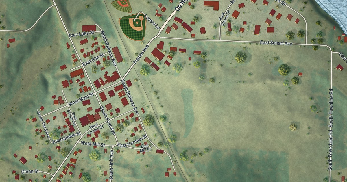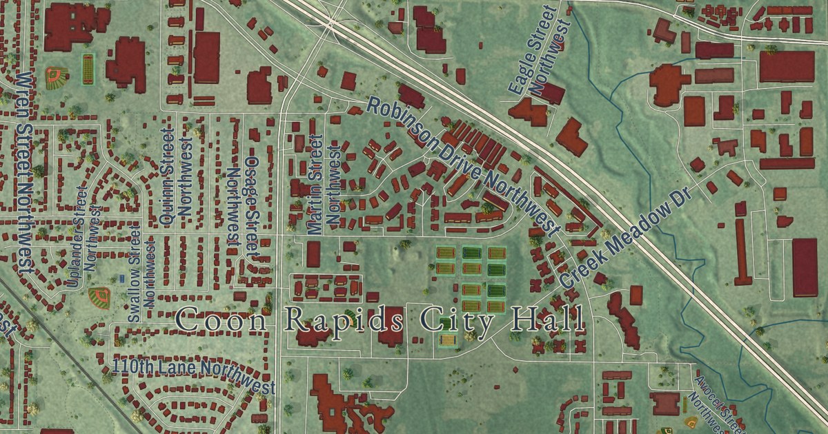
This beautifully detailed map of Coon Rapids, Minnesota was created in 2026 using aerial imagery combined with modern topographical, census, street and landmark data. It’s a one-of-a-kind view of Coon Rapids that combines accurate data with a vintage aesthetic. The map shows every building in its true location, many of the roads carry their names, and the shaded topographic relief shows the shape of the land.
Explore an aerial view of Coon Rapids, Minnesota
On the map you’ll find Coon Rapids City Hall, Thompson Heights, Northdale, Bunker Hills Regional Park, Sand Creek Park, Wilderness Park, and Oak Park, along with Thompson Riverview Terrace, Coon Rapids Boulevard Northwest, County Highway 1, Hanson Boulevard Northwest, Northdale Boulevard Northwest, and more. If you look closely you can even find your house accurately drawn in its correct location. Zoom in on the preview to look for yours.
Did you know this piece of Coon Rapids, Minnesota history?
From the Minnesota Historical Society: "After years of disuse, the Coon Rapids Dam became involved in Minnesota’s river policy again in 2010."
Take a closer look at the Coon Rapids map
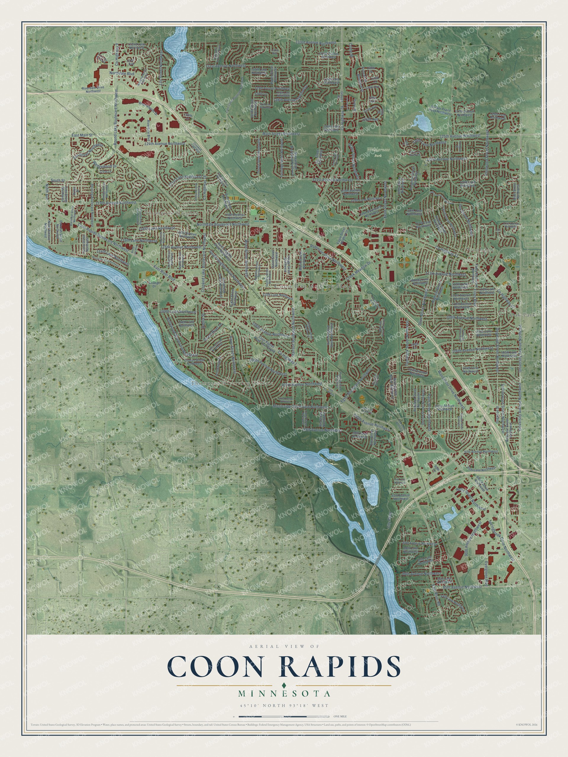
Street and place names on the Coon Rapids, Minnesota map
These names are printed on the map of Coon Rapids, Minnesota.
Places: Coon Rapids City Hall, Thompson Heights, Northdale, Thompson Riverview Terrace, Bunker Hills Regional Park, Moor Park, Wilderness Park and Oak Park.
Streets and roads: Coon Rapids Boulevard Northwest, County Highway 1, Hanson Boulevard Northwest, Northdale Boulevard Northwest, County Highway 11, Foley Boulevard, 99th Avenue Northwest, County Highway 12, Northdale Boulevard, Dogwood Street Northwest, Palm Street Northwest, 133rd Avenue Northwest.
More street names, A to Z
84th Lane Northwest, 85th Avenue Northwest, 85th Lane Northwest, 86th Avenue Northwest, 87th Lane Northwest, 88th Lane Northwest, 89th Avenue Northwest, 90th Avenue Northwest, 93rd Avenue Northwest, 94th Avenue Northwest, 94th Lane Northwest, 95th Lane, 95th Lane Northwest, 97th Avenue Northwest, 98th Lane Northwest, 100th Avenue Northwest, 100th Lane Northwest, 101st Avenue Northwest, 102nd Avenue Northwest, 103rd Avenue Northwest, 103rd Lane Northwest, 104th Avenue Northwest, 104th Lane Northwest, 105th Avenue Northwest, 105th Lane Northwest, 106th Avenue Northwest, 106th Lane, 107th Avenue Northwest, 107th Lane Northwest, 108th Avenue Northwest, 108th Lane Northwest, 109th Avenue Northwest, 109th Lane Northwest, 110th Avenue Northwest, 110th Lane Northwest, 111th Avenue Northwest, 111th Lane Northwest, 112th Lane Northwest, 113th Avenue Northwest, 114th Lane Northwest, 115th Avenue Northwest, 115th Lane Northwest, 116th Avenue Northwest, 116th Lane, 116th Lane Northwest, 117th Avenue Northwest, 117th Lane Northwest, 118th Avenue Northwest, 118th Lane Northwest, 119th Avenue Northwest, 119th Lane Northwest, 120th Avenue Northwest, 120th Lane Northwest, 121st Avenue Northwest, 121st Lane, 121st Lane Northwest, 123rd Avenue Northwest, 123rd Lane Northwest, 124th Avenue Northwest, 124th Lane Northwest, 125th Avenue Northwest, 125th Lane Northwest, 126th Avenue, 126th Lane, 126th Lane Northwest, 127th Avenue, 127th Avenue Northwest, 127th Lane Northwest, 128th Avenue, 128th Avenue Northwest, 128th Lane, 128th Lane Northwest, 129th Avenue, 129th Avenue Northwest, 129th Lane, 129th Lane Northwest, 130th Lane, 130th Lane Northwest, 131st Avenue, 131st Avenue Northwest, 131st Lane Northwest, 132nd Avenue, 132nd Avenue Northwest, 132nd Lane Northwest, Alder Street Northwest, Arrowhead Street, Arrowhead Street Northwest, Avocet Street, Avocet Street Northwest, Aztec Street, Bittersweet Street Northwest, Blackfoot Street Northwest, Bluebird Street, Bunker Praire Road Northwest, Butternut Street Northwest, Carlson Drive Northwest, City Parkway, College Drive, Coon Creek Boulevard Northwest, Coon Rapids Boulevard, Coon Rapids Road-East Bound, Cottonwood Street Northwest, County Highway 9, County Highway 18, County Highway 78, Crane Street, Creek Meadow Drive, Cree Street Northwest, Crocus Street Northwest, Crooked Lake Boulevard, Crooked Lake Boulevard Northwest, Dahlia Street, Dakotah Street Northwest, Direct River Drive, Dogwood Street, Drake Street, Drake Street Northwest, Eagle Street Northwest, East Main Street, East River Boulevard, East River Road, Egret Boulevard Northwest, Eidelweiss Street Northwest, Evergreen Boulevard, Flamingo Street, Flamingo Street Northwest, Flintwood Street Northwest, Foley Boulevard Northwest, Grouse Street, Grouse Street Northwest, Heather Street Northwest, Holly Street Northwest, Hollywood Boulevard Northwest, Hummingbird Street Northwest, Ibis Street Northwest, Ilex Street Northwest, Jay Street Northwest, Jonquil Street Northwest, Juniper Street Northwest, Kerry Street Northwest, Killdeer Street Northwest, Kumquat Street, Kumquat Street Northwest, Larch Street Northwest, Lily Street Northwest, Linnet Street Northwest, Magnolia Street Northwest, Main Street Northwest, Marigold Street Northwest, Martin Street Northwest, Mississippi Boulevard Northwest, Mississippi Drive Northwest, Ninth Avenue, Ninth Avenue Northwest, North Heights Drive Northwest, Norway Street Northwest, Olive Street Northwest, Osage Street Northwest, Partridge Street Northwest, Pheasant Ridge Drive Northwest, Quince Street Northwest, Quinn Street Northwest, Raven Street Northwest, Redwood Street Northwest, Reisling Boulevard Northwest, Riverdale Boulevard, Riverdale Drive Northwest, River Rapids Drive, Robinson Drive Northwest, Round Lake Boulevard, Round Lake Boulevard Northwest, Sand Creek Drive Northwest, Shenandoah Boulevard Northwest, South Heights Drive Northwest, South Street, Springbrook Drive Northwest, Swallow Street Northwest, Sycamore Street Northwest, Tamarack Street Northwest, Thrush Street Northwest, Unity Street, Unity Street Northwest, University Avenue Northeast, University Avenue Northwest, Uplander Street Northwest, Vale Street Northwest, Verdin Street Northwest, Vintage Street Northwest, Wedgewood Drive, Wintergreen Street Northwest, Woodcrest Drive Northwest, Woody Lane Northwest, Wren Street Northwest, Xavis Street Northwest, Xeon Boulevard Northwest, Xeon Street Northwest, Yellow Pine Street Northwest, Yucca Street Northwest, Yukon Street Northwest, Zea Street Northwest, Zilla Street, Zilla Street Northwest, Zion Street Northwest.
See the Coon Rapids, Minnesota map on a wall
The Coon Rapids map as an 18 x 24 inch print in a black frame.

This beautifully detailed map of Coon Rapids makes an attractive addition to your office, library, or den, and it can even be used to teach children the geography and history of the area. It also makes a great gift for anyone who grew up in Coon Rapids or moved away. When you’re done exploring, click here to get your copy of the Coon Rapids map.