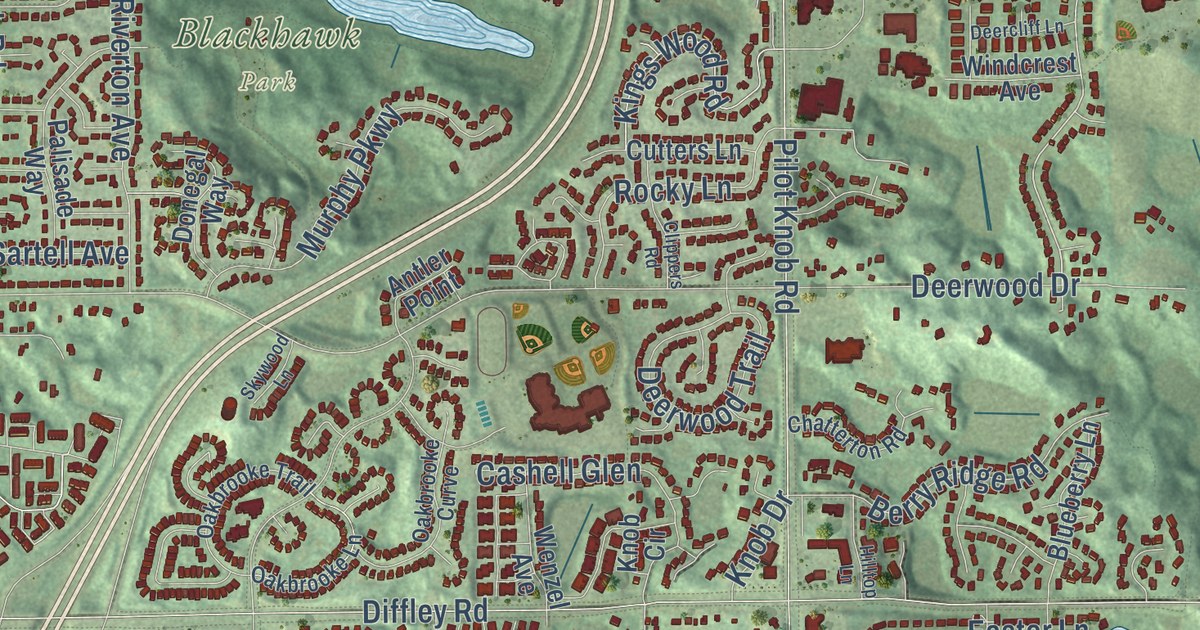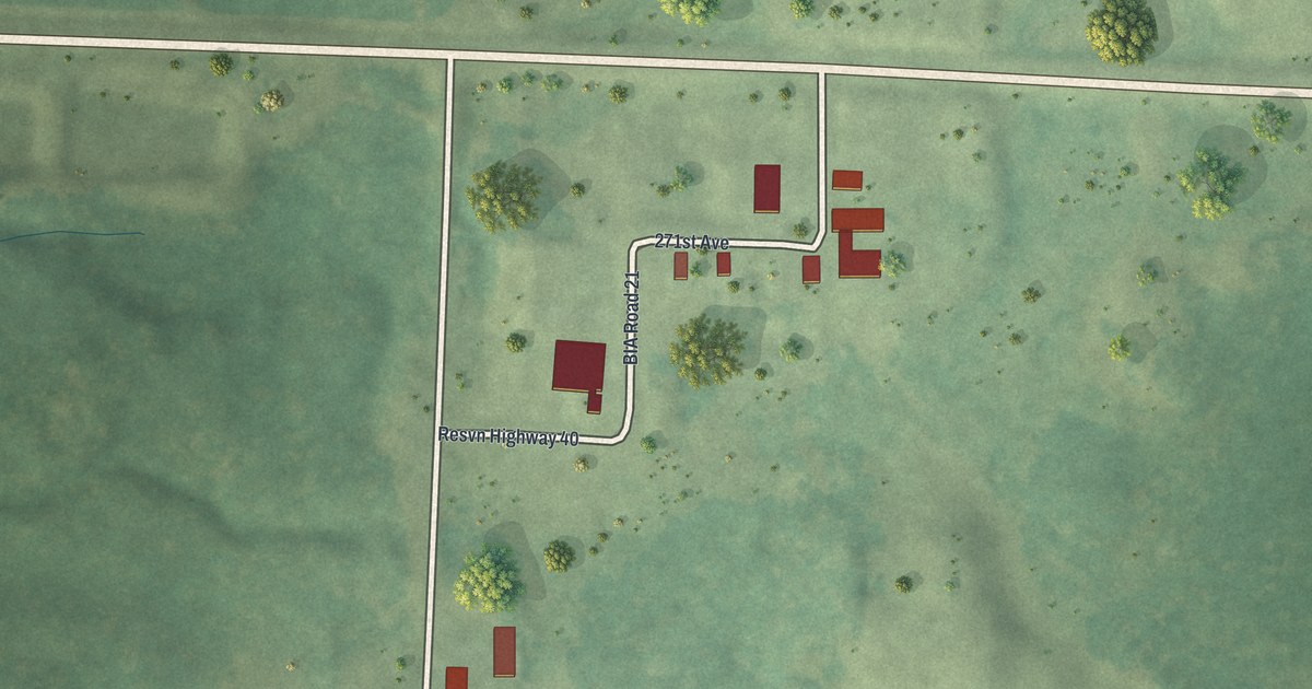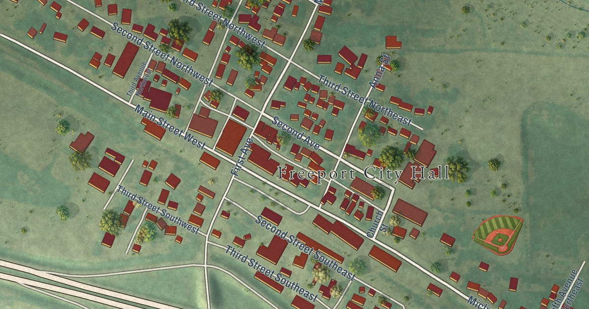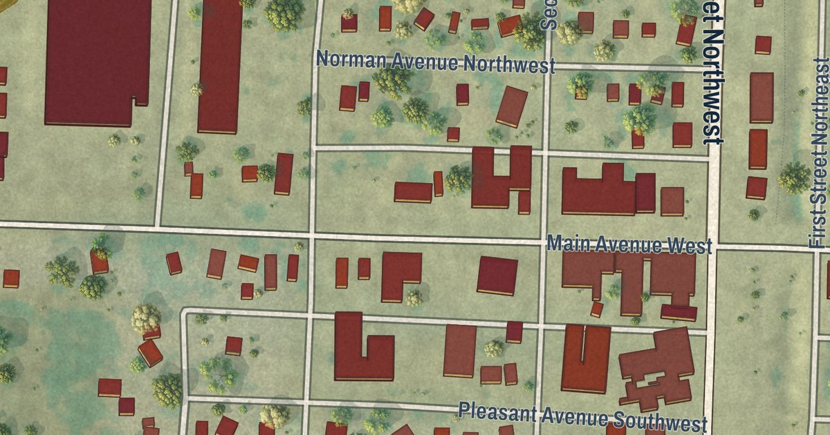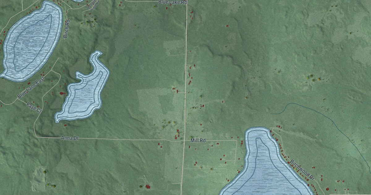
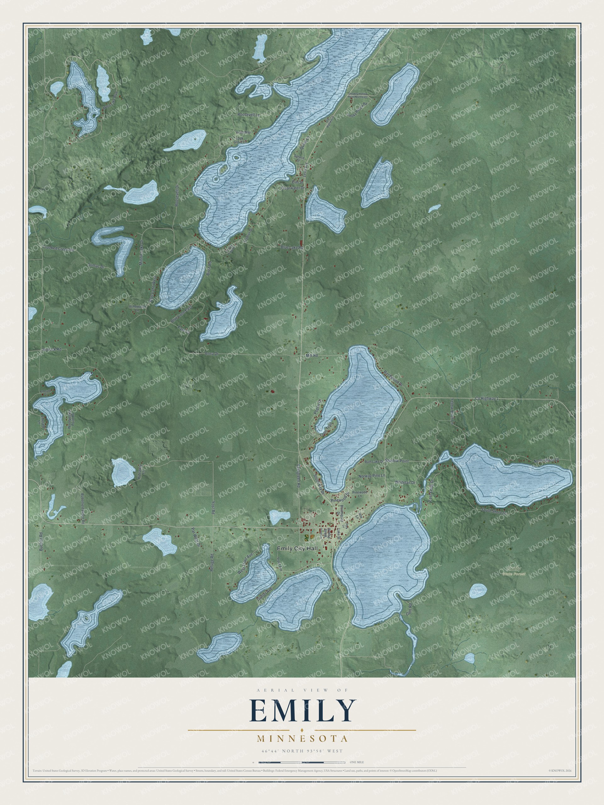
This beautifully detailed map of Emily, Minnesota was created in 2026 using aerial imagery combined with modern topographical, census, street and landmark data. It’s a one-of-a-kind view of Emily that combines accurate data with a vintage aesthetic. The map shows every building in its true location, many of the roads carry their names, and the shaded topographic relief shows the shape of the land.
Explore an aerial view of Emily, Minnesota
On the map you’ll find Emily City Hall and Emily State Forest, along with County Highway 1, Blue Lake Road, Evergreen Road, Yost Road, South Shore Drive, Anna Drive, Jermark Road, Roosevelt Lane, Crooked Creed Road, Roosevelt Drive, and more. If you look closely you can even find your house accurately drawn in its correct location. Zoom in on the preview to look for yours.
Did you know this piece of Emily, Minnesota history?
From Warren Upham’s 1920 Minnesota Geographic Names: "Emily township was named from Emily lake, one of its group of four lakes having feminine names, Anna, Emily, Mary, and Ruth; but whether they were of one family, or what was the surname of any of them, has not been ascertained."
Take a closer look at the Emily map
Street and place names on the Emily, Minnesota map
These names are printed on the map of Emily, Minnesota.
Places: Emily City Hall and Emily State Forest.
Streets and roads: County Highway 1, Blue Lake Road, Evergreen Road, Yost Road, South Shore Drive, Anna Drive, Jermark Road, Roosevelt Lane, Crooked Creed Road, Roosevelt Drive, Dahler Avenue, Blue Lane East.
More street names, A to Z
Birch Road, Birchwood Drive, Bloomquist Drive, Blue Lane West, Broadway, Buchite Road, Butterfield Beach Road, Clearwater Drive, Dam Road, East Emily Drive, Eladron Drive, Elm Street, Emerald Drive, Emerald Lane, Faye Court, Hideaway Lane, Hite Lane, Lake Street, Levitt Avenue, Loon Trail, Mill Road, Minnie Lake Drive, North Shore Drive, Norway Pine Lane, Oak Grove Lane, Old Highway 6, Overlook Ridge Road, Park Lane, Par West Drive, Pinewood Drive, Pinewood Lane, Poplar Drive, Quinn Lane, Refuge Road, Ruth Lake Drive, Shadow Point, Smokey Hollow Road Northeast, Smoky Hollow Road, South Bay Drive, Spruce Street, Sumac Drive, Trout Avenue, Usherwood Lane, Vista Way, West Trout Avenue, White Pine Street, Whitetail Drive, Wood Lake Boulevard, Woodpecker Point Road, Yellow Birch Lane.
See the Emily, Minnesota map on a wall
The Emily map as an 18 x 24 inch print in a black frame.

This beautifully detailed map of Emily makes an attractive addition to your office, library, or den, and it can even be used to teach children the geography and history of the area. It also makes a great gift for someone who left Emily and still calls it home. When you’re done exploring, click here to get your copy of the Emily map.