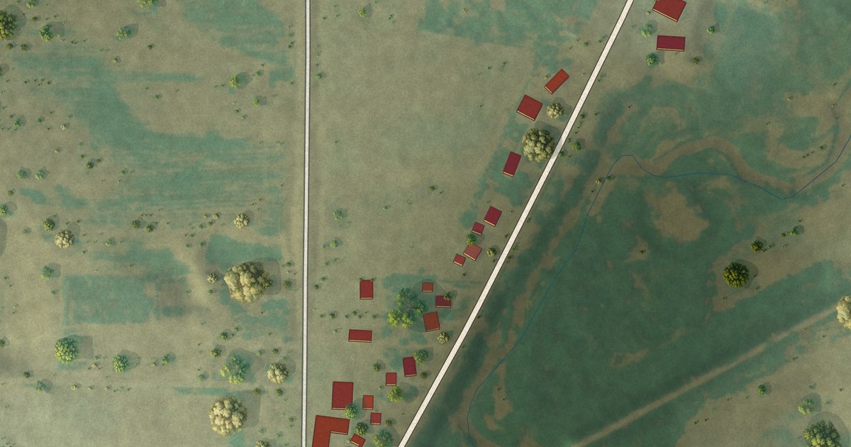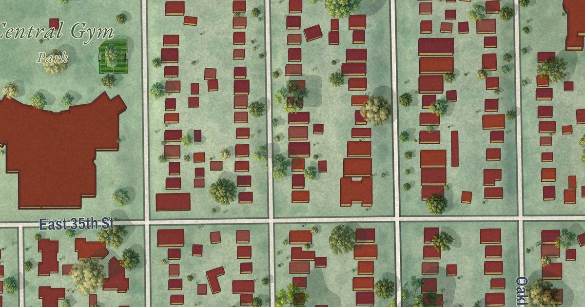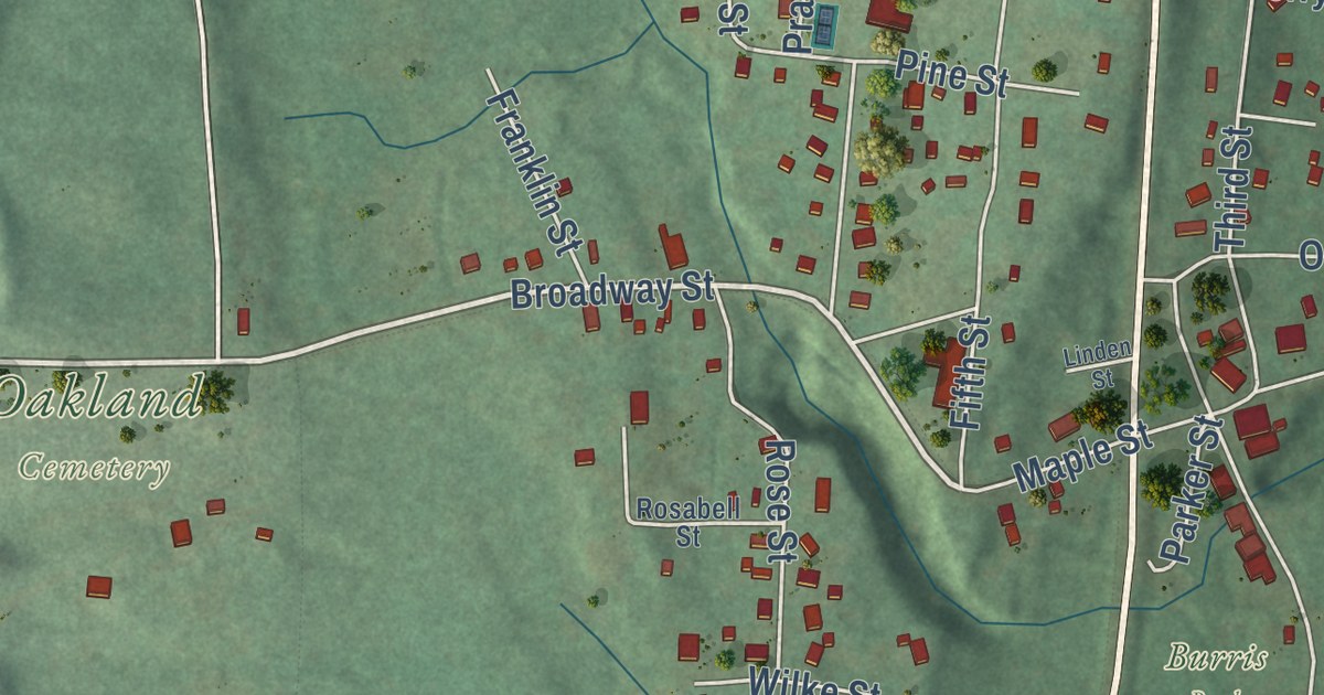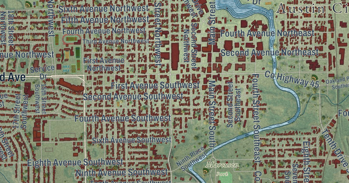
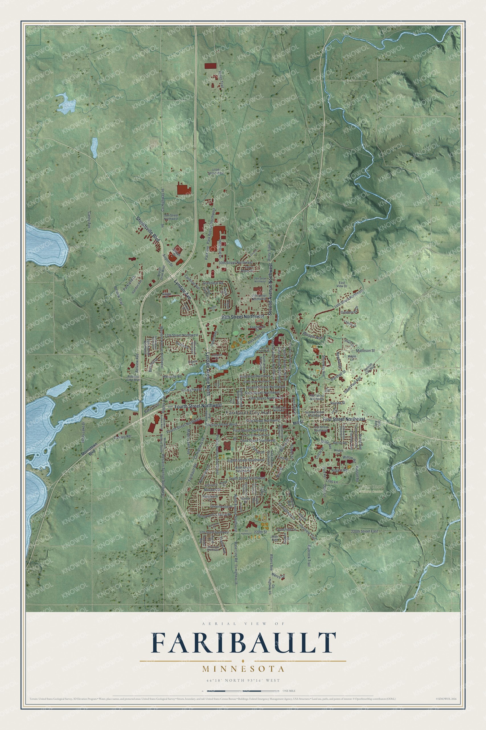
This beautifully detailed map of Faribault, Minnesota was created in 2026 using aerial imagery combined with modern topographical, census, street and landmark data. It’s a one-of-a-kind view of Faribault that combines accurate data with a vintage aesthetic. The map shows every building in its true location, many of the roads carry their names, and the shaded topographic relief shows the shape of the land.
Explore an aerial view of Faribault, Minnesota
On the map you’ll find Faribault City Hall and River Bend Nature Center, along with Fourth Street Northwest, Second Avenue Northwest, Shieldsville Boulevard, Lyndale Avenue, Lyndale Avenue North, First Street Northeast, 20th Street Northwest, Seventh Street Northwest, Western Avenue Northwest, Central Avenue North, and more. If you look closely you can even find your house accurately drawn in its correct location. Zoom in on the preview to look for yours.
Did you know this piece of Faribault, Minnesota history?
From Warren Upham’s 1920 Minnesota Geographic Names: "Faribault, the county seat, platted in February, 1855, organized as a township of small area May 11, 1858, and incorporated as a city February 29, 1872, was named in honor of Alexander Faribault, the eldest son of Jean Baptiste Faribault, who is commemorated by the county of this name."
Take a closer look at the Faribault map
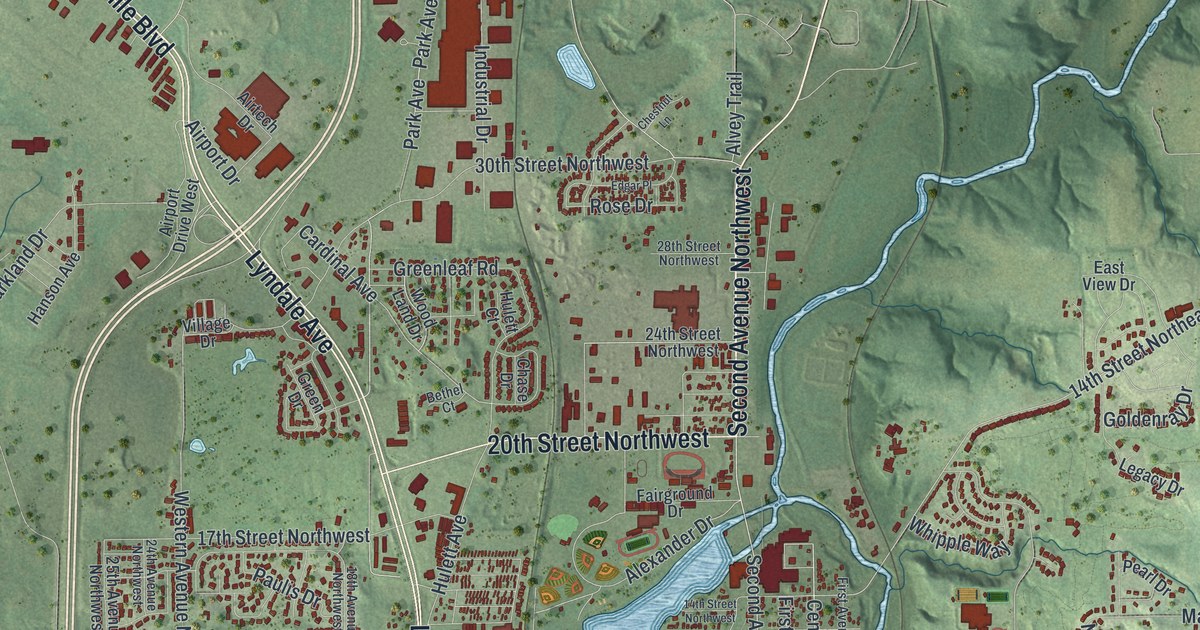
Street and place names on the Faribault, Minnesota map
These names are printed on the map of Faribault, Minnesota.
Places: Faribault City Hall and River Bend Nature Center.
Streets and roads: Fourth Street Northwest, Second Avenue Northwest, Shieldsville Boulevard, Lyndale Avenue, Lyndale Avenue North, First Street Northeast, 20th Street Northwest, Seventh Street Northwest, Western Avenue Northwest, Central Avenue North, State Avenue, Base Line Road.
More street names, A to Z
14th Street Northeast, 14th Street Northwest, 16th Avenue, 17th Street Northwest, 17th Street Southwest, 18th Avenue Northwest, 19th Street Southwest, 24th Avenue Northwest, 24th Street Northwest, 25th Avenue Northwest, 28th Street Northwest, 30th Street Northwest, 38th Street Northwest, 170th Street West, 220th Street, 220th Street East, Acorn Trail, Airport Drive, Airport Drive West, Airtech Drive, Albers Avenue, Aldrich Court, Aldrich Way, Alexander Drive, Allen Path, Alvey Trail, Autumn Drive, Babcock Trail, Bagley Avenue, Baker Trail, Barron Road, Belview Avenue, Belview Trail, Bethel Court, Birn Hill Drive, Brand Avenue, Brentwood Circle, Calvary Road, Canby Avenue, Cannon Circle, Cannon City Boulevard, Cardinal Avenue, Chase Drive, Chestnut Lane, Circle Drive, County Highway 11, County Highway 18, County Highway 19, County Highway 45, County Highway 46, County Highway 47, County Highway 48, Crystal Lane, Cuylle Bay, Cuylle Court, Dairy Lane, Del Lane, Division Street West, Dow Place, East View Drive, Edgar Place, Eighth Avenue Northwest, Eighth Avenue Southwest, Eighth Street Northwest, Eighth Street Southwest, Erblang Avenue, Fairground Drive, Faribault Road, Fifth Street Northeast, Fifth Street Northwest, First Avenue Northeast, First Avenue Northwest, First Avenue Southwest, First Street Northwest, First Street Southeast, First Street Southwest, Fourth Avenue Northwest, Fowler Street, Franklin Avenue, Glynview Trail, Goldenray Drive, Grant Street, Green Drive, Greenleaf Road, Greenwood Place, Hanson Avenue, Havel Place, Heritage Place, Hiersche Road, Highland Place, Home Place, Hulett Avenue, Hulett Court, Industrial Drive, Irving Avenue, Legacy Drive, Lilac Lane, Linden Lane, Lind Street, Maple Lane, Maple Lawn Avenue, Matteson Street, Mercy Drive, Mill Street, Mitchell Drive, Morristown Boulevard, Newhall Drive, Ninth Avenue Southwest, Ninth Street Northwest, Ninth Street Southwest, Park Avenue, Park Avenue Northwest, Parkland Drive, Park Road, Parshall Street, Patricks Bay, Paulis Drive, Pearl Drive, Prairie Avenue, Prairie Avenue Southwest, Ravine Street, Rice Street, Roberds Lake Boulevard, Robinwood Lane, Rogers Road, Rose Drive, Rustad Road, Saint Paul Avenue, Second Street Northeast, Second Street Southwest, Shumway Avenue, Sixth Avenue Southwest, Sixth Street Northwest, Spring Road, Springwood Lane, Sunbird Drive, Sunshine Lane, Tenth Avenue Southeast, Tenth Street Southwest, Third Avenue Southwest, Third Street Northwest, Third Street Southwest, Tischler Avenue, Twelfth Avenue East, Tyman Place, Village Drive, Wells Lake Drive, Western Avenue North, Western Avenue South, Western Avenue Southwest, Westwood Drive, Whipple Way, Willow Road, Willow Street, Winter Drive, Wood Land Drive.
See the Faribault, Minnesota map on a wall
The Faribault map as an 18 x 24 inch print in a black frame.

This beautifully detailed map of Faribault makes an attractive addition to your office, library, or den, and it can even be used to teach children the geography and history of the area. It also makes a great gift for anyone with Faribault roots. When you’re done exploring, click here to get your copy of the Faribault map.