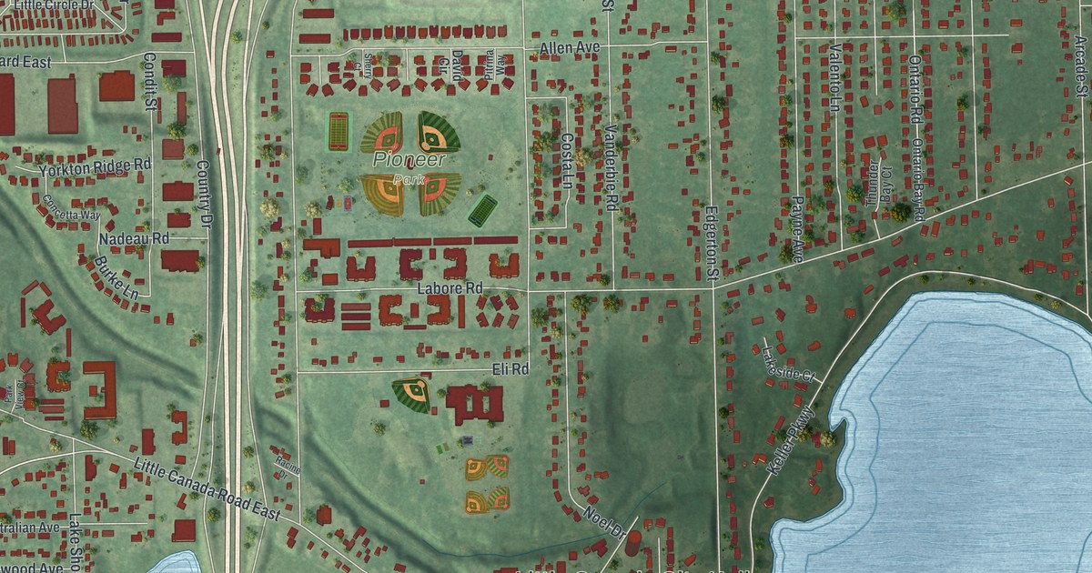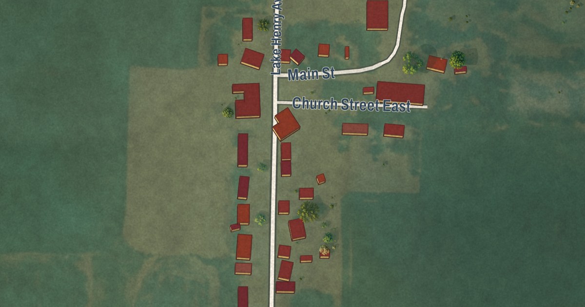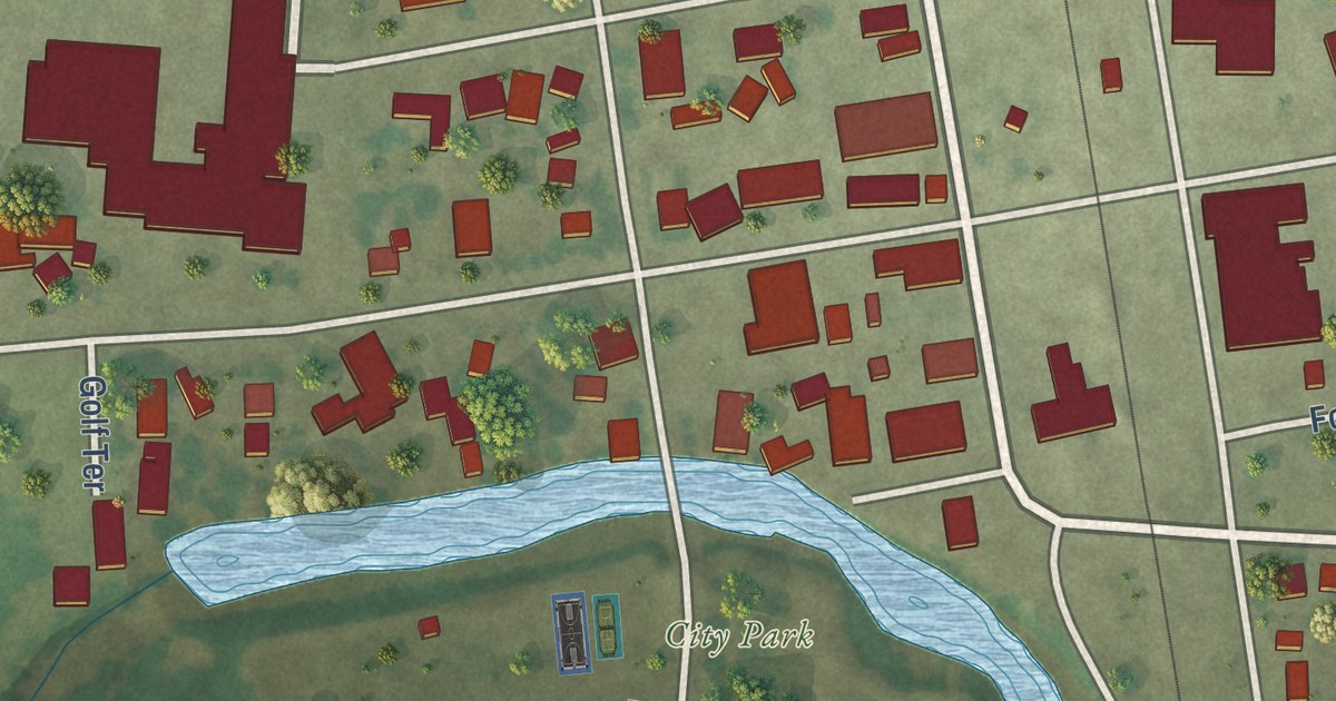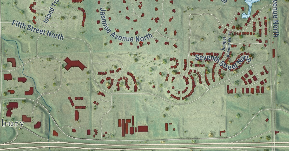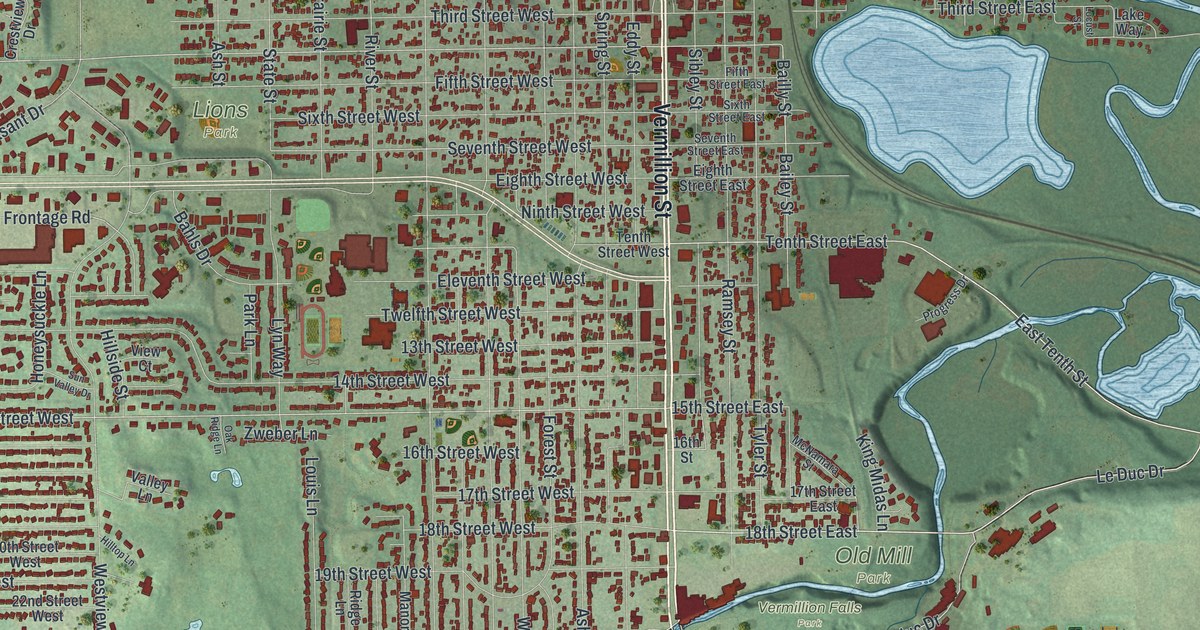
This beautifully detailed map of Hastings, Minnesota was created in 2026 using aerial imagery combined with modern topographical, census, street and landmark data. It’s a one-of-a-kind view of Hastings that combines accurate data with a vintage aesthetic. The map shows every building in its true location, many of the roads carry their names, and the shaded topographic relief shows the shape of the land.
Explore an aerial view of Hastings, Minnesota
On the map you’ll find Hastings City Hall, Gores Aquatic Management Area, Lions Park, Old Mill Park, and Vermillion Falls Park, along with Vermillion Street, Hastings Road South, East Tenth Street, 18th Street East, Le Duc Drive, Tenth Street East, 15th Street West, and more. If you look closely you can even find your house accurately drawn in its correct location. Zoom in on the preview to look for yours.
Did you know this piece of Hastings, Minnesota history?
From Warren Upham’s 1920 Minnesota Geographic Names: "Hastings, the county seat, platted as a village in 1853 and incorporated as a city in 1857, was named in drawing lots by its several proprietors, this second name of Henry Hastings Sibley, later governor and general, having been his preference."
Take a closer look at the Hastings map
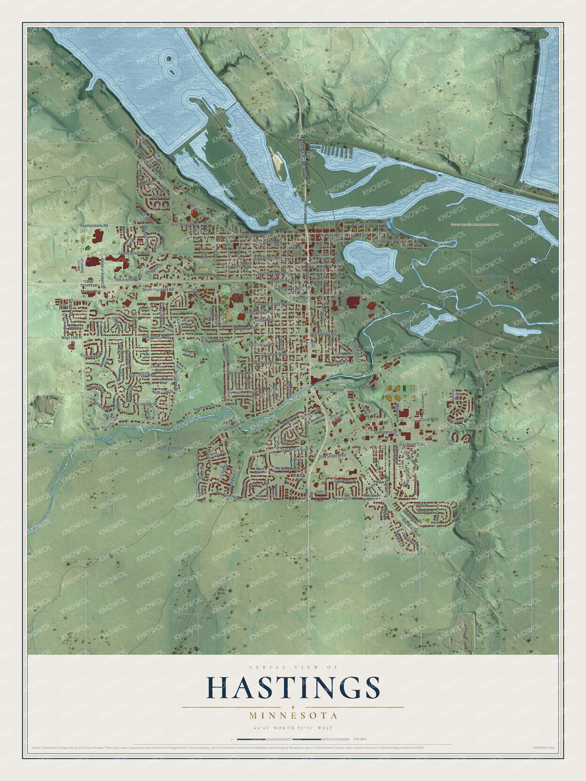
Street and place names on the Hastings, Minnesota map
These names are printed on the map of Hastings, Minnesota.
Places: Hastings City Hall, Gores Aquatic Management Area, Lions Park, Old Mill Park and Vermillion Falls Park.
Streets and roads: Vermillion Street, Hastings Road South, East Tenth Street, 18th Street East, Le Duc Drive, Tenth Street East, 15th Street West, Leduc Drive, Fourth Street West, Fourth Street East, Cannon Street, Bohlken Drive.
More street names, A to Z
13th Street West, 14th Street West, 15th Street East, 16th Street, 16th Street West, 17th Street East, 17th Street West, 18th Street West, 19th Street West, 20th Street West, 21st Street, 21st Street East, 21st Street West, 22nd Street West, 24th Street West, 25th Street West, 27th Street East, 31st Street East, 31st Street West, 33rd Street West, 35th Street West, 36th Street, 36th Street West, 37th Street West, 145th Street East, 160th Street East, Adams Street, Amelia Avenue, Ashland Street, Ash Street, Bahls Drive, Bailey Street, Bailly Street, Blueberry Lane, Brittany Road, Brooke Lane, Cari Park Lane, Carleton Drive, Century Drive, Clay Street, Commerce Drive, Cory Lane, Crestview Drive, Dakota Summit Drive, Eagle Bluff Drive, East Fourth Street, Eddy Street, Eighth Street East, Eighth Street West, Eleventh Street West, Enterprise Avenue, Erickson Drive, Fallbrooke Drive, Farm Street, Featherstone Court, Featherstone Road, Fifth Street East, Fifth Street West, First Street, First Street East, First Street West, Forest Street, Fourth Street, Fraiser Street, General Sieben Drive, Glacier Way, Glendale Road, Glenlou Way, Greten Lane, Greystone Road, Grove Street, Hackberry Drive, Hayes, Hayes Drive, Highland Drive, Highview Knoll, Hillside Street, Hilltop Lane, Honeysuckle Lane, Industrial Court, Jackson Drive, Jefferson Street, Kendall Drive, King Midas Lane, Lake Way, Lea Street, Leroy Avenue, Lester Avenue, Liddle Lane, Lillehei Avenue, Lincoln Street, Lock and Dam Road, Locust Street, Louis Lane, Lyn Way, Madison Street, Maher Avenue, Malcolm Avenue, Manor Lane, Maple Street, Market Boulevard, Marmik Circle, Martin Lane, McNamara Street, Meadowview Trail, Meggan Drive, Melville Circle, Michael Avenue, Millard Avenue, Monroe Street, Nininger Road, Ninth Street West, North Frontage Road, Northridge Drive, O'Connell Drive, Oak Hill Drive, Oak Ridge Lane, Oak Street, Old Bridge Lane, Olive Street, Olson Drive, Park Lane, Pine Street, Pleasant Drive, Prairie Street, Pringle Court, Progress Drive, Radford Road, Ramsey Street, Ravenna Trail, Red Wing Boulevard, Ridge Lane, Riverbluff Drive, River Shore Drive, River Street, Riverwood Drive, Robert Drive, Roosevelt Road, Rushmore Road, Sandpiper Circle, Second Street West, Seventh Street East, Seventh Street West, Shannon Drive, Sibley Street, Sierra Drive, Sixth Street East, Sixth Street West, South Frontage Road, South Oaks Drive, South Park Drive, South Pointe Drive, Southview Drive, Spiral Boulevard, Spring Street, Starling Drive, State Street, Steeple Lane, Stonegate Road, Summit Point Drive, Sun Valley Drive, Teal Way, Tenth Street West, Third Street East, Third Street West, Thomas Avenue, Three Rivers Drive, Tierney Court, Tierney Drive, Tiffany Drive, Timber View Drive, Todd Way, Truax Circle, Tuttle Drive, Twelfth Street West, Tyler Street, Valley Lane, Vermillion Road, View Court, Village Trail, Village Way, Vista Court, Vista Drive, Voyageur Parkway, Walnut Street, West 15th Street, West 18th Court, West 21st Street, West 23rd Street, Westview Drive, Whispering Lane, Williams Circle, Wyndham Hill Drive, Yellowstone Drive, Zweber Lane.
See the Hastings, Minnesota map on a wall
The Hastings map as an 18 x 24 inch print in a black frame.

This beautifully detailed map of Hastings makes an attractive addition to your office, library, or den, and it can even be used to teach children the geography and history of the area. It also makes a great gift for someone who left Hastings and still calls it home. When you’re done exploring, click here to get your copy of the Hastings map.