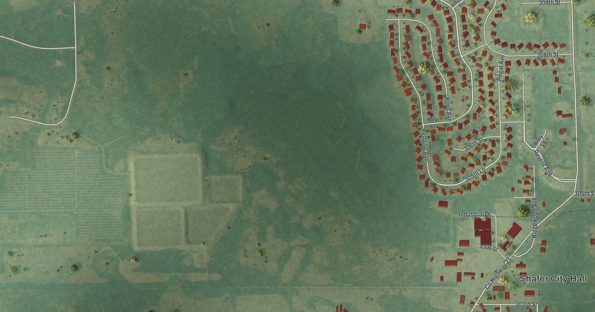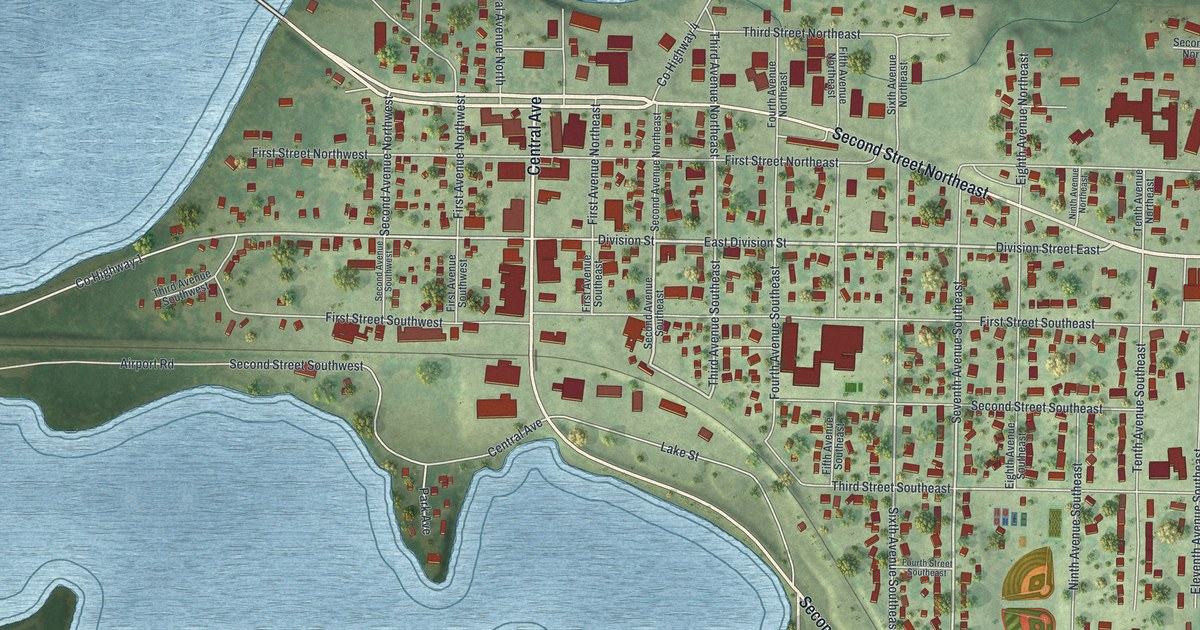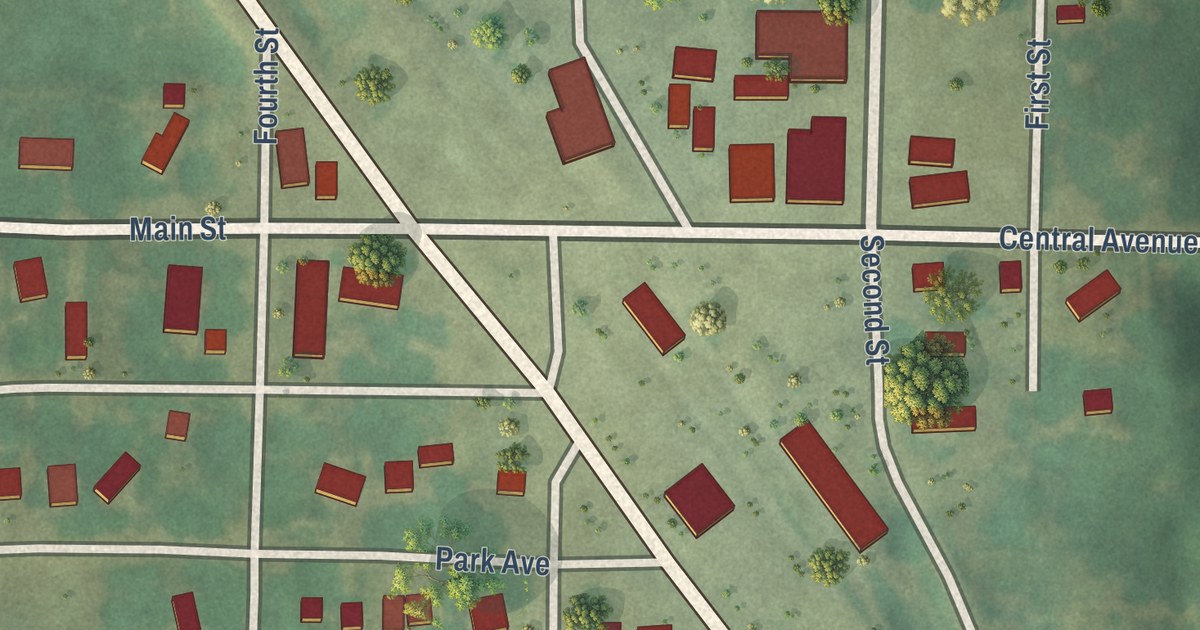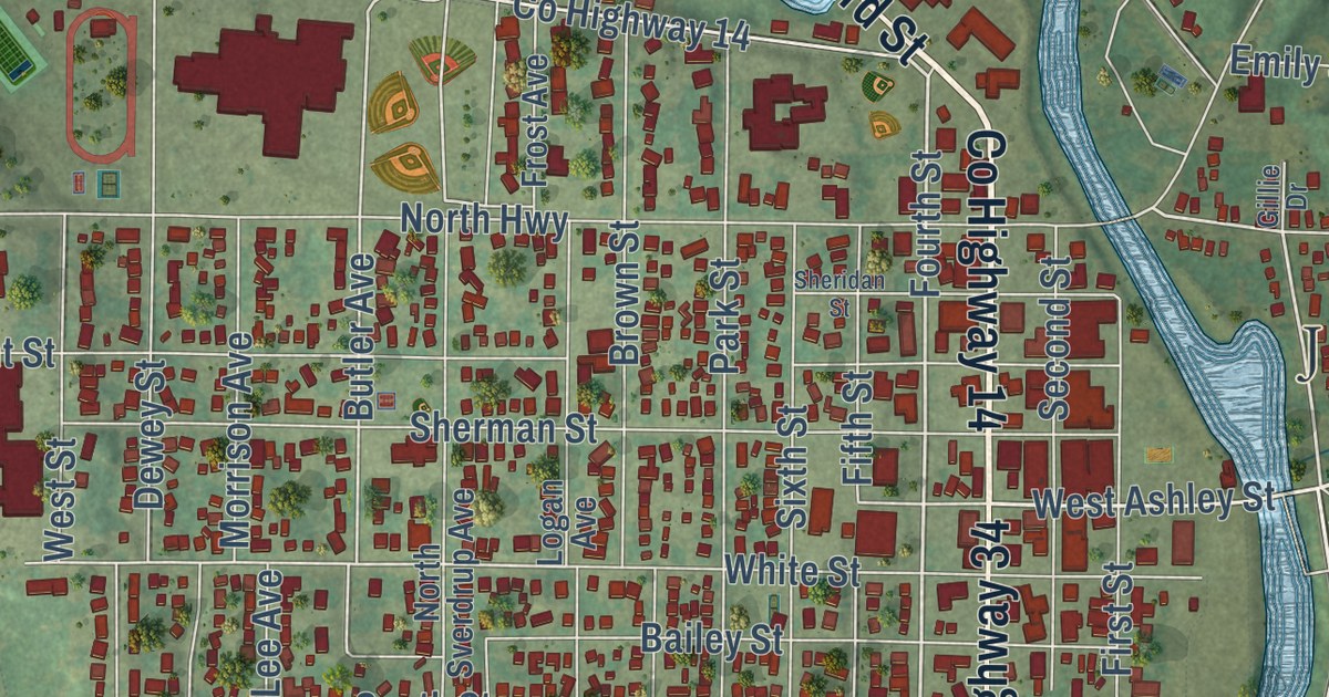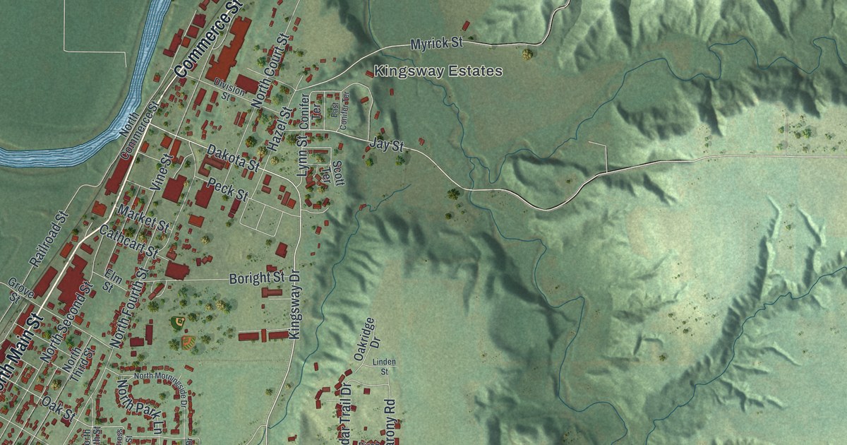
This beautifully detailed map of Le Sueur, Minnesota was created in 2026 using aerial imagery combined with modern topographical, census, street and landmark data. It’s a one-of-a-kind view of Le Sueur that combines accurate data with a vintage aesthetic. The map shows every building in its true location, many of the roads carry their names, and the shaded topographic relief shows the shape of the land.
Explore an aerial view of Le Sueur, Minnesota
On the map you’ll find Kingsway Estates, along with Commerce Street, North Main Street, Bridge Street, Ferry Street, Elmwood Avenue, South Elmwood Street, South Fourth Street, Forest Prairie Road, South Main Street, Dakota Street, Ottawa Road, and more. If you look closely you can even find your house accurately drawn in its correct location. Zoom in on the preview to look for yours.
Did you know this piece of Le Sueur, Minnesota history?
From the National Register of Historic Places: "The Minnesota Valley Canning Company was founded in 1903 by a group of ten local Le Sueur investors; the company expanded greatly over the years, and in 1950 became the Green Giant Company."
Take a closer look at the Le Sueur map
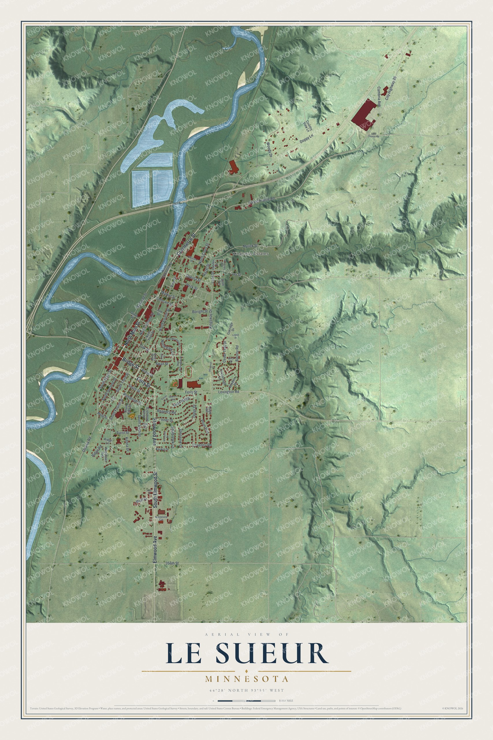
Street and place names on the Le Sueur, Minnesota map
These names are printed on the map of Le Sueur, Minnesota.
Places: Kingsway Estates.
Streets and roads: Commerce Street, North Main Street, Bridge Street, Ferry Street, Elmwood Avenue, South Elmwood Street, South Fourth Street, Forest Prairie Road, South Main Street, Dakota Street, Ottawa Road, Kingsway Drive.
More street names, A to Z
356th Street, Barony Road, Birch Street, Boright Street, Cambria Avenue, Cathcart Street, Cedar Trail Drive, City Highway 28, Conifer Terrace, Country View Lane, Coventry Road, Cross Street, Culps Hill, Davis Street, Division Street, Doppy Lane, East Conifer Terrace, Elm Court, Elm Street, Foxborough Lane, Glenview Court, Grove Street, Hazel Street, Hillcrest Way, Inner Drive, Jay Street, Kaukis Drive, Kenna Drive, Lexington Road, Linden Street, Lynn Street, Maag Street, Market Street, Minnesota Avenue, Myrick Street, North Commerce Street, North Court Street, North Fifth Street, North Fourth Street, North Morningside Drive, North Park Lane, North Second Street, North Third Street, Oakridge Drive, Oak Street, Outer Drive, Peck Street, Plum Run, Polar Street, Railroad Street, Regency Road, Ridge Lane, Ridge Road, Risedorph Street, Saint Thomas Road, Scott Terrace, Sherwood Drive, Smith Street, Snow Ridge, South Fifth Street, South Morningside Drive, South Park Lane, South Second Street, South Seventh Street, South Sixth Street, South Third Street, Sunset Circle, Swan Street, Turril Street, Vine Street, Windsor Drive, Wolf Street, Woodcrest Terrace, Woodlawn Avenue, Woods Drive.
See the Le Sueur, Minnesota map on a wall
The Le Sueur map as an 18 x 24 inch print in a black frame.

This beautifully detailed map of Le Sueur makes an attractive addition to your office, library, or den, and it can even be used to teach children the geography and history of the area. It also makes a great gift for anyone who grew up in Le Sueur or moved away. When you’re done exploring, click here to get your copy of the Le Sueur map.