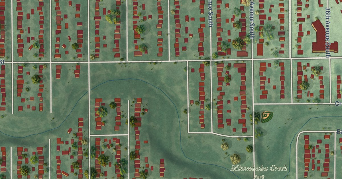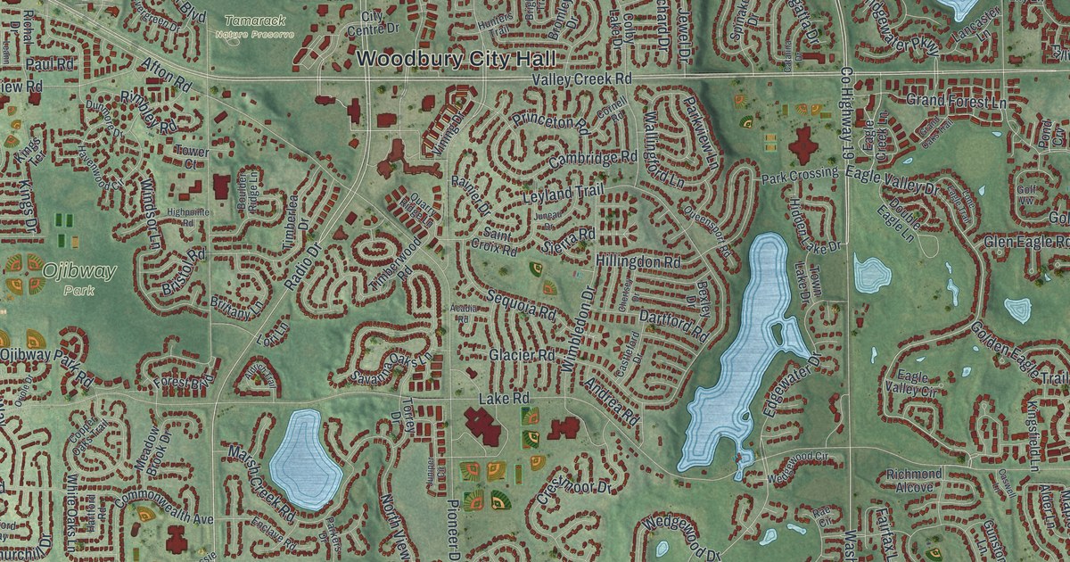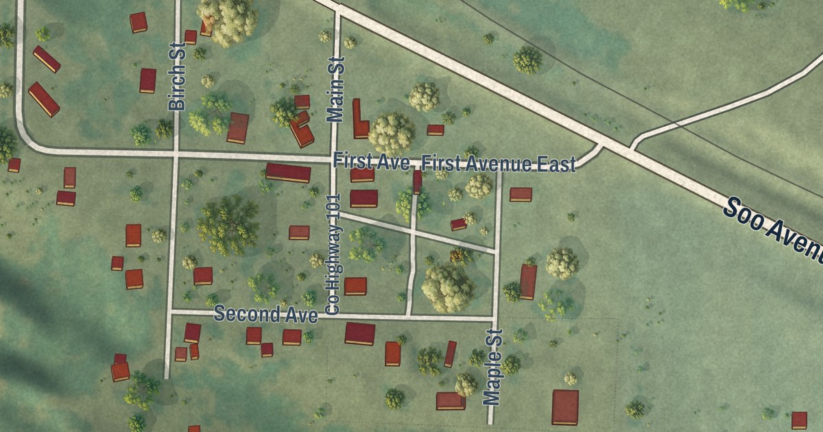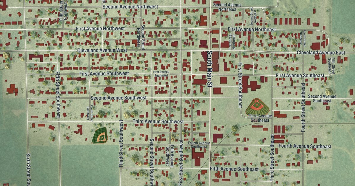
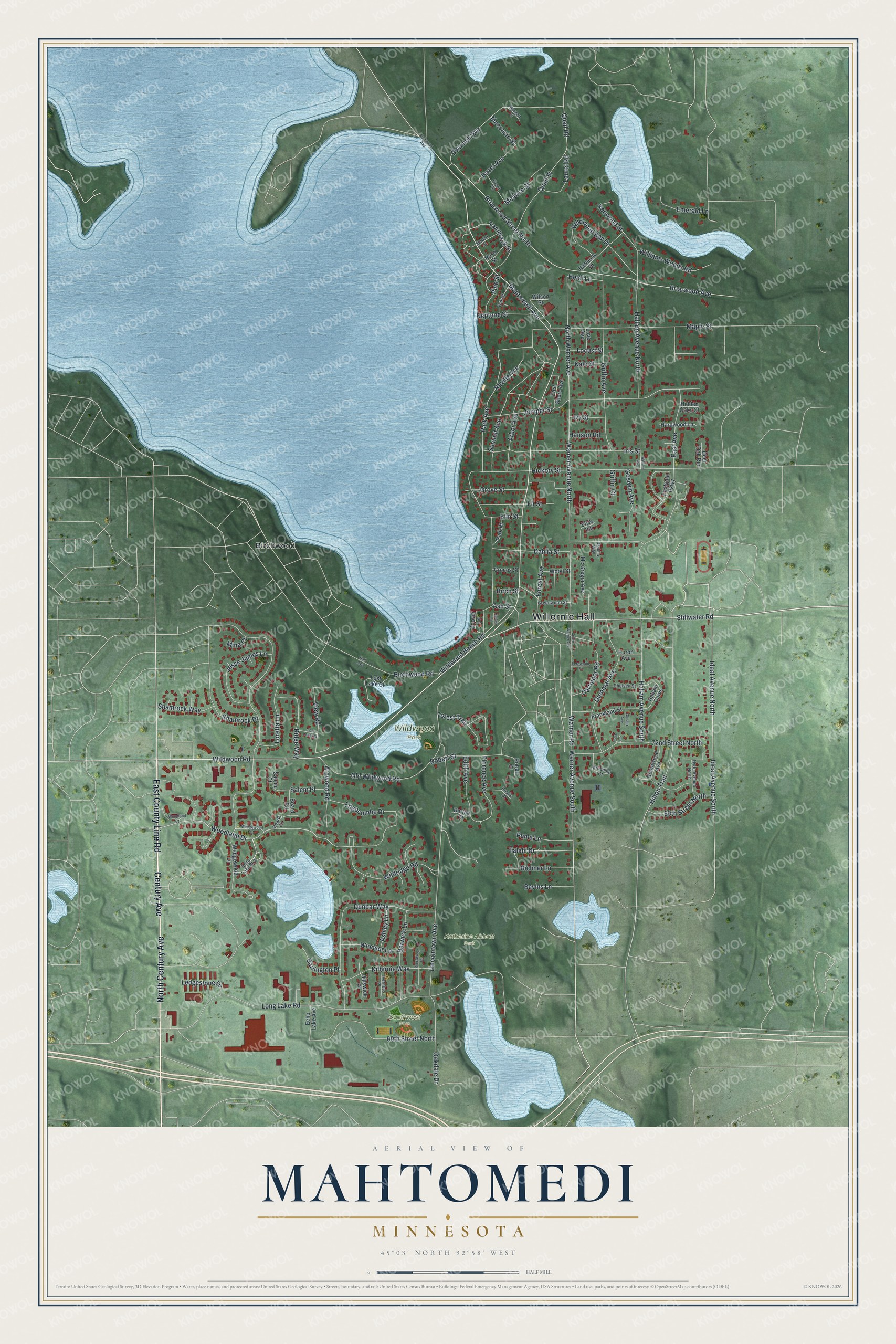
This beautifully detailed map of Mahtomedi, Minnesota was created in 2026 using aerial imagery combined with modern topographical, census, street and landmark data. It’s a one-of-a-kind view of Mahtomedi that combines accurate data with a vintage aesthetic. The map shows every building in its true location, many of the roads carry their names, and the shaded topographic relief shows the shape of the land.
Explore an aerial view of Mahtomedi, Minnesota
On the map you’ll find Willernie Hall, Katherine Abbott Park, Southwest Park, Wildwood Park, and Birchwood, along with East County Line Road, Century Avenue, North Century Avenue, Wildwood Road, Stillwater Road, Ideal Avenue North, Mahtomedi Avenue, and more. If you look closely you can even find your house accurately drawn in its correct location. Zoom in on the preview to look for yours.
Did you know this piece of Mahtomedi, Minnesota history?
From the 1920 Minnesota Geographic Names: "Mahtomedi, a village consisting mostly of summer homes, on the northeast shore of White Bear lake, was platted in July, 1883, by the Mahtomedi Assembly of the Chautauqua Association."
Take a closer look at the Mahtomedi map
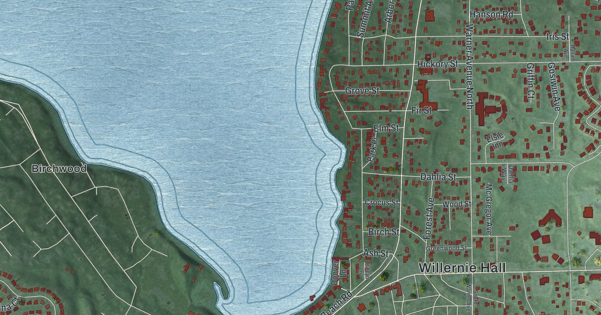
Street and place names on the Mahtomedi, Minnesota map
These names are printed on the map of Mahtomedi, Minnesota.
Places: Willernie Hall, Katherine Abbott Park, Southwest Park, Wildwood Park and Birchwood.
Streets and roads: East County Line Road, Century Avenue, North Century Avenue, Wildwood Road, Stillwater Road, Ideal Avenue North, Mahtomedi Avenue, Woodland Drive, Hilton Trail, Warner Avenue South, Warner Road, Edgecumbe Drive.
More street names, A to Z
60th Street North, 69th Street North, 72nd Court, 72nd Street North, Arbor Avenue, Arcwood Road, Ashley Lane, Ash Street, Barrington Place, Bertha Court, Berwick Lane, Bevins Lane, Bichner Lane, Birch Street, Birchwood Road, Board Circle, Board Road, Briarwood Avenue, Briarwood Street North, Bruening Court, Chelsea Street, Crocus Street, Dahlia Street, Dahlia Way, Dartmoor Road, Deer Oak Run, Dellwood Avenue, Doover Lane, Dunbar Way, Dwinnell Avenue, East Avenue, Eastgate Parkway, East Shore Avenue, Echo Lake Avenue, Echo Lake Boulevard, Edith Avenue, Elm Street, Elsie Inn, Emerald Lane, Fernwood Place, Fir Street, Florence Avenue, Forest Avenue, Forest Trail, Frankland Street, Glenmar Avenue, Gloster Avenue, Gosiwin Avenue, Grant Street, Greenwood Street, Griffin Avenue, Griffin Court, Grove Street, Halcyn Lane, Hallam Avenue, Hallam Avenue North, Hallam Avenue South, Hallam Curve, Hall Avenue, Hanson Road, Hardwood Lane, Harmony Drive, Hazel Avenue, Heidi Lane, Hickory Street, Hidden Oaks Court, Hillswick Place, Homewood Avenue, Huron Avenue, Hyde Avenue North, Ideal Avenue South, Iris Street, Iverness Place, Ivy Street, Jesse James Lane, Juniper Street, Kale Street, Kenwood Street, Kilbirnie Way, Laurel Road, Ledgestone Drive, Lincolntown Avenue, Locust Street, Long Lake Road, Loretta Lane, Lost Lake Court, Lost Lake Road, Love Avenue, Maple Street, Mc Gregor Avenue, Melrose Street, Mina Court, Moccasin Street, Morgan Street, Neptune Street, Neville Avenue, North Warner Avenue, Oakdale Drive, Oak Street, Old Wildwood Road, Park Avenue, Park Place, Pine Street, Prestwick Terrace, Puma Lane, Quail Road, Quail Street, Ridge Way, Robert Court, Robert Street, Rose Street, Rustic Drive, Salem Court, Salem Place, Shamrock Drive, Shamrock Way, South Warner Avenue, Spruce Street, Summit Avenue, Talahi Drive, Tamarack Street, View Road, Warner Avenue North, Wedgewood Court, Wedgewood Drive, Wildridge Road, Wildwood Bay Drive, Wildwood Beach Road, Williams Woods Road, Wilson Street, Windsor Lane, Woodland Court, Wood Street.
See the Mahtomedi, Minnesota map on a wall
The Mahtomedi map as an 18 x 24 inch print in a black frame.

This beautifully detailed map of Mahtomedi makes an attractive addition to your office, library, or den, and it can even be used to teach children the geography and history of the area. It also makes a great gift for someone who left Mahtomedi and still calls it home. When you’re done exploring, click here to get your copy of the Mahtomedi map.