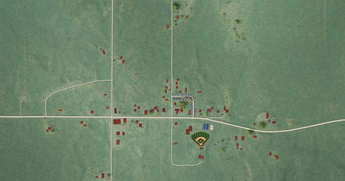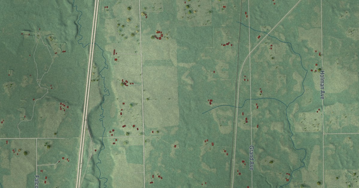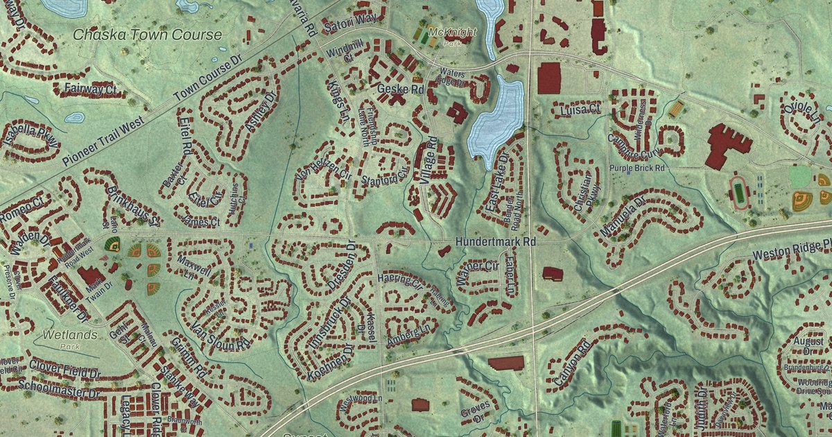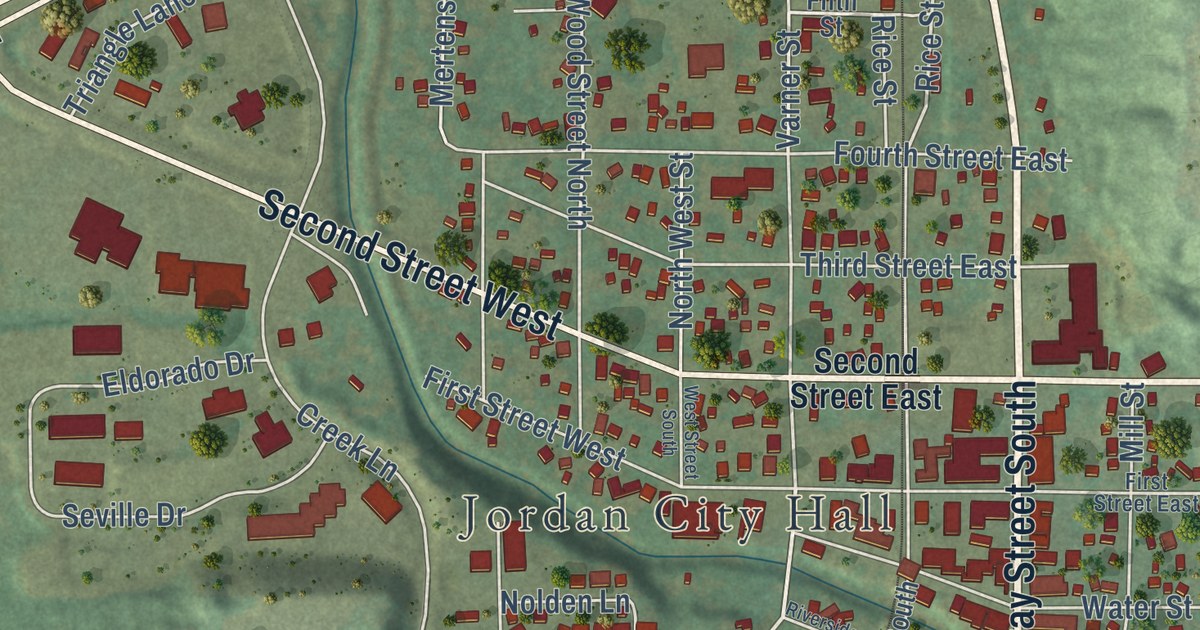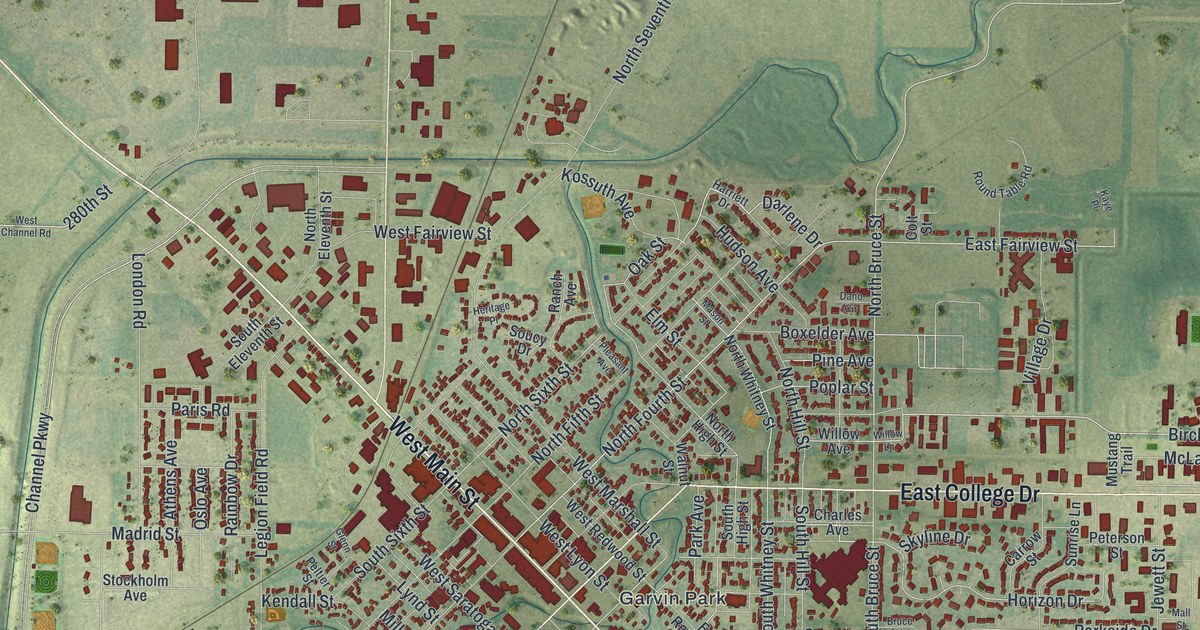
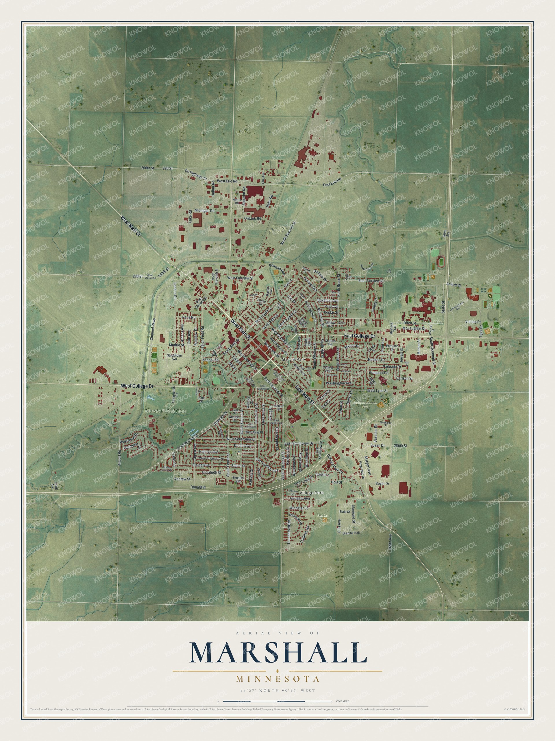
This beautifully detailed map of Marshall, Minnesota was created in 2026 using aerial imagery combined with modern topographical, census, street and landmark data. It’s a one-of-a-kind view of Marshall that combines accurate data with a vintage aesthetic. The map shows every building in its true location, many of the roads carry their names, and the shaded topographic relief shows the shape of the land.
Explore an aerial view of Marshall, Minnesota
On the map you’ll find Village Park, Garvin Park, Independence Park, Patriot Park, and Marshall Golf Club, along with West Main Street, East College Drive, West College Drive, East Main Street, Birch Street, State Street, North Sixth Street, and more. If you look closely you can even find your house accurately drawn in its correct location. Zoom in on the preview to look for yours.
Did you know this piece of Marshall, Minnesota history?
From Warren Upham’s 1920 Minnesota Geographic Names: "Marshall, the county seat, platted in August, 1872, with the building of the Chicago and Northwestern railway, incorporated as a village March 18, 1876, and as a city February 20, 1901, was named for Governor Marshall, like Lake Marshall township, in which it is situated."
Take a closer look at the Marshall map
Street and place names on the Marshall, Minnesota map
These names are printed on the map of Marshall, Minnesota.
Places: Village Park, Garvin Park, Independence Park, Patriot Park and Marshall Golf Club.
Streets and roads: West Main Street, East College Drive, West College Drive, East Main Street, Birch Street, State Street, North Sixth Street, Darlene Drive, South First Street, East Fairview Street, North Bruce Street, East Erie Road.
More street names, A to Z
234th Avenue, 265th Avenue, 265th Street, 269th Avenue, 280 Street, 280th Street, 290 Street, 290th Street, Adobe Road, Airport Road, Amiret Street, Andrew Street, Athens Avenue, Baseline Road, Boxelder Avenue, Boyer Drive, Brian Street, Bruce Circle, Cadillac Road, Camden Drive, Canoga Park Drive, Carlson Street, Carrow Street, Cedar Lane, Central Avenue, Channel Parkway, Charles Avenue, Cheryl Avenue, Circle Drive, Colombine Drive, Colt Street, Commencement Boulevard, Country Club Drive, County Highway 33, Dano Circle, David Drive, Deschepper Street, Diamond Street, Donald Street, Donita Avenue, East Greeley Street, East James Avenue, East Lyon Street, East Redwood Street, East Saratoga Street, East Southview Court, East Southview Drive, East Street, East Thomas Avenue, Elaine Avenue, Elaine Street, Elizabeth Street, Ellis Avenue, Elm Street, Erie Avenue, Fairgrounds Road, Floyd Wild Drive, Genesis Avenue, George Street, Glenn Street, Granite Trail, Hackberry Drive, Hahn Road, Halbur Road, Harriett Drive, Heritage Place, Horizon Drive, Hudson Avenue, Huron Road, Indiana Jones Avenue, Jean Avenue, Jefferson Avenue, Jewett Street, Kathryn Avenue, Kaye Place, Kendall Street, Kossuth Avenue, Lake Road, Lawerence Street, Legion Field Road, Lilac Drive, Lincoln Avenue, London Road, Lucille Street, Lynd Street, Madrid Street, Mall Street, Margert Avenue, Marguerite Avenue, Market Street, Marlene Street, Marvin Schwan Memorial Drive, Mason Street, McLaughlin Drive, Mercedes Drive, Michigan Road, Mill Street, Mustang Trail, North Eleventh Street, North Fifth Street, North Fourth Street, North High Street, North Hill Street, North Seventh Street, North Whitney Street, Nuese Lane, Nwakama Street, Oak Street, Oconnell Street, Ontario Road, Oslo Avenue, Paris Road, Park Avenue, Parkside Drive, Patricia Court, Paul Street, Peltier Street, Peterson Street, Pine Avenue, Pinehurst Road, Pleasant Avenue, Poplar Street, Prospect Road, Rainbow Drive, Ranch Avenue, Robert Street, Round Table Road, Silvervine Drive, Skyline Drive, Slate Street, Soucy Drive, South Bruce Street, South Eleventh Street, South Fourth Street, South High Street, South Hill Street, South Oconnell Street, South Saratoga Street, South Second Street, South Sixth Street, South Whitney Street, Spruce Lane, Stephen Avenue, Stockholm Avenue, Sunrise Lane, Superior Road, Susan Drive, Thunderbird Road, Tiger Drive, Timberlane Drive, Travis Road, Ucla Street, Victory Drive, Viking Drive, Village Drive, Walnut Street, Washington Avenue, West Channel Road, West Erie Road, West Fairview Street, West Gray Place, West Greeley Street, West James Avenue, West Lyon Street, West Marshall Street, West Redwood Street, West Saratoga Street, West Southview Drive, West Thomas Avenue, Westwood Drive, Williams Street, Willow Avenue, Willow Lane, Windstar Street, Woodfern Drive.
See the Marshall, Minnesota map on a wall
The Marshall map as an 18 x 24 inch print in a black frame.

This beautifully detailed map of Marshall makes an attractive addition to your office, library, or den, and it can even be used to teach children the geography and history of the area. It also makes a great gift for anyone who grew up in Marshall or moved away. When you’re done exploring, click here to get your copy of the Marshall map.