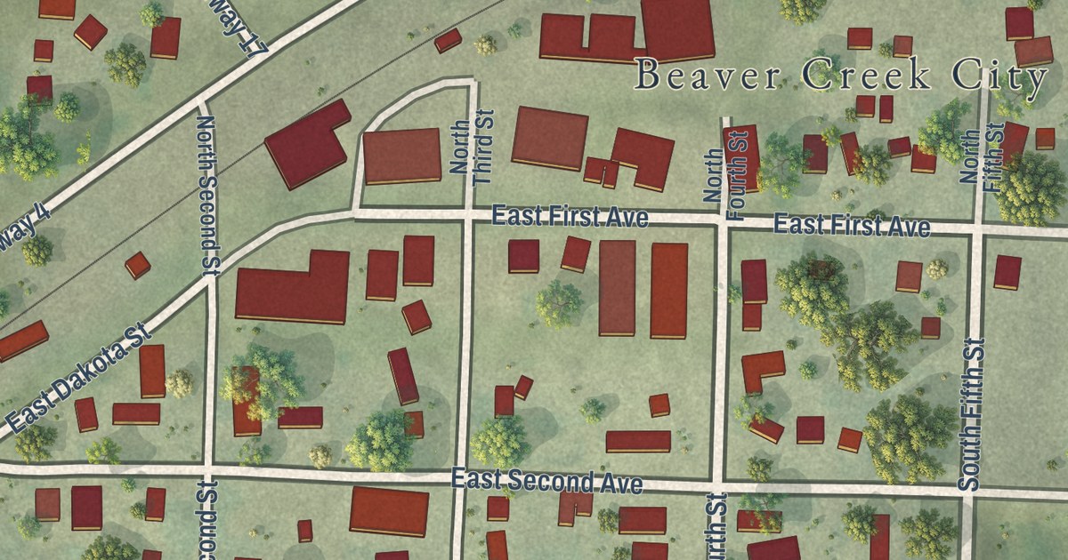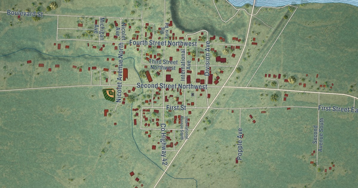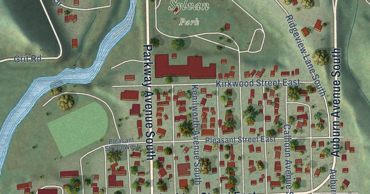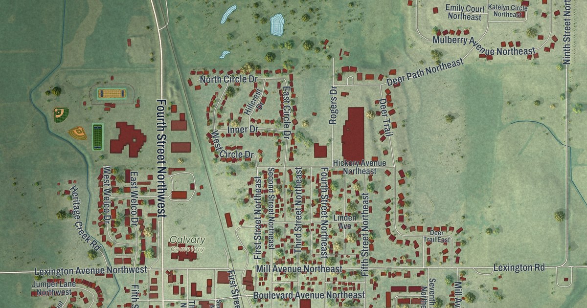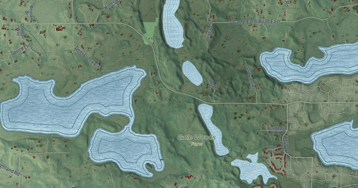
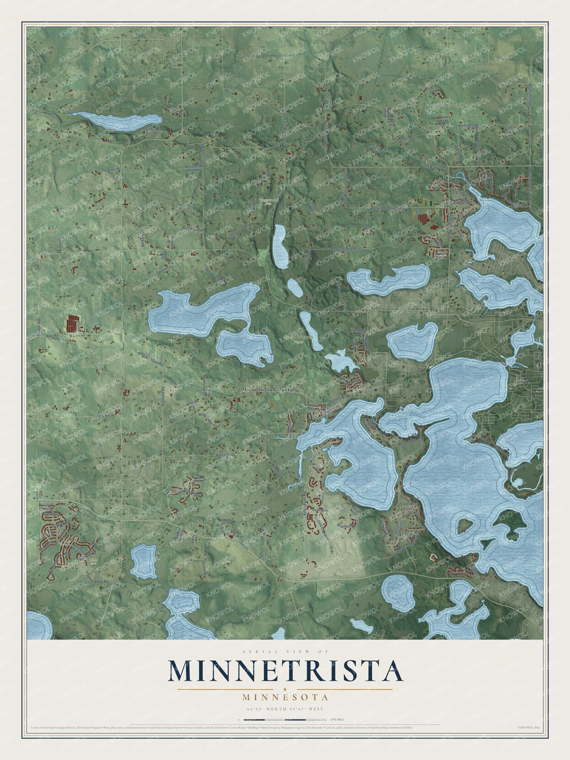
This beautifully detailed map of Minnetrista, Minnesota was created in 2026 using aerial imagery combined with modern topographical, census, street and landmark data. It’s a one-of-a-kind view of Minnetrista that combines accurate data with a vintage aesthetic. The map shows every building in its true location, many of the roads carry their names, and the shaded topographic relief shows the shape of the land.
Explore an aerial view of Minnetrista, Minnesota
On the map you’ll find Minnetrista City Hall, Gale Woods Farm, Kingswood Park, Lisle Park, Six Mile Marsh, and Burl Oaks Golf Club, along with Highland Road, Tuxedo Road, West Branch Road, North Branch Road, Lotus Drive, Market Avenue, and more. If you look closely you can even find your house accurately drawn in its correct location. Zoom in on the preview to look for yours.
Did you know this piece of Minnetrista, Minnesota history?
From Warren Upham’s 1920 Minnesota Geographic Names: "Minnetrista is partly of Dakota derivation, in its first half; but trista is not found in either the Dakota or Ojibway languages."
Take a closer look at the Minnetrista map
Street and place names on the Minnetrista, Minnesota map
These names are printed on the map of Minnetrista, Minnesota.
Places: Minnetrista City Hall, Gale Woods Farm, Kingswood Park, Lisle Park, Six Mile Marsh and Burl Oaks Golf Club.
Streets and roads: Highland Road, Tuxedo Road, West Branch Road, North Branch Road, Lotus Drive, Market Avenue, Ingerson Road, Commerce Boulevard, Halstead Drive, Game Farm Road East, Kings Point Road, Game Farm Road North.
More street names, A to Z
Antler Way, Apple Garden Road, Bartlett Boulevard, Bayside Lane, Bertram Drive, Big Woods Drive, Blair Road, Bracken Drive, Buck Lake Road, Burl Oaks Court, Cardinal Cove Drive, Casamita Road, Cedar Point Road, Chateau Way, Clarence Avenue, Covey Lane, Deer Creek Circle, Deer Creek Road, Dutch Lake Court, Dutchview Road, Eagle Bluff Road, Eastview Avenue, Edsall Road, Enchanted Lane, Equestrian Way, Fairway Ridge Drive, Farmhill Drive, Fielding Trail, Game Farm Circle, Games Drive, Games Trail, Gander Lane, Glacier Road, Grand View Avenue, Grimm Road, Halstead Avenue, Hardscrabble Circle, Hermitage Trail, Hickory Drive, Hunters Trail, Indian Hill Road, Jennings Cove Road, Kennel Road, Kingswood Road, Kramer Road, Kristin Lane, Kuntz Drive, Lakeside Drive, Lake Terrace Drive, Lee Road, Lilly Lane, Loring Drive, Maplecrest Drive, Margaret Circle, Marina Drive, Merganser Drive, Minneapolis Avenue, Morningview Drive, Nike Road, North Arm Drive, Northshore Drive, North Shore Drive West, Northview Drive, Oak Road, Orchard Cv, Ox Yoke Circle, Painter Road, Painters Circle, Partridge Road, Pheasant Crossing, Pinnacle Way, Pondview Drive, Preserve Boulevard, Red Oak Lane, Retreat Circle, Ridgewood Cv, Rolling Hills Drive, Scott Drive, Shady Lane, Six Mile Creek Road, South Bay Drive, Spruce Road, Squire Lane, Steeler Street, Sunnybrook Drive, Sunnyfield Road East, Sunnyfield Road North, Sunset Drive, Towns Edge Road, Trails End Road, Trillium Lane East, Trillium Lane West, Turtle Greek Boulevard, Turtle Greek Road, Valley Creek Drive, Viking Road, Walnut Drive, Waterset Circle, West Deer Creek Road, Westedge Boulevard, West Highland Road, West Hill Road, Westwood Drive, Willow Court, Wind Ridge Trail, Woodedge Road, Woodland Cove Parkway, Yellowstone Trail.
See the Minnetrista, Minnesota map on a wall
The Minnetrista map as an 18 x 24 inch print in a black frame.

This beautifully detailed map of Minnetrista makes an attractive addition to your office, library, or den, and it can even be used to teach children the geography and history of the area. It also makes a great gift for someone who left Minnetrista and still calls it home. When you’re done exploring, click here to get your copy of the Minnetrista map.