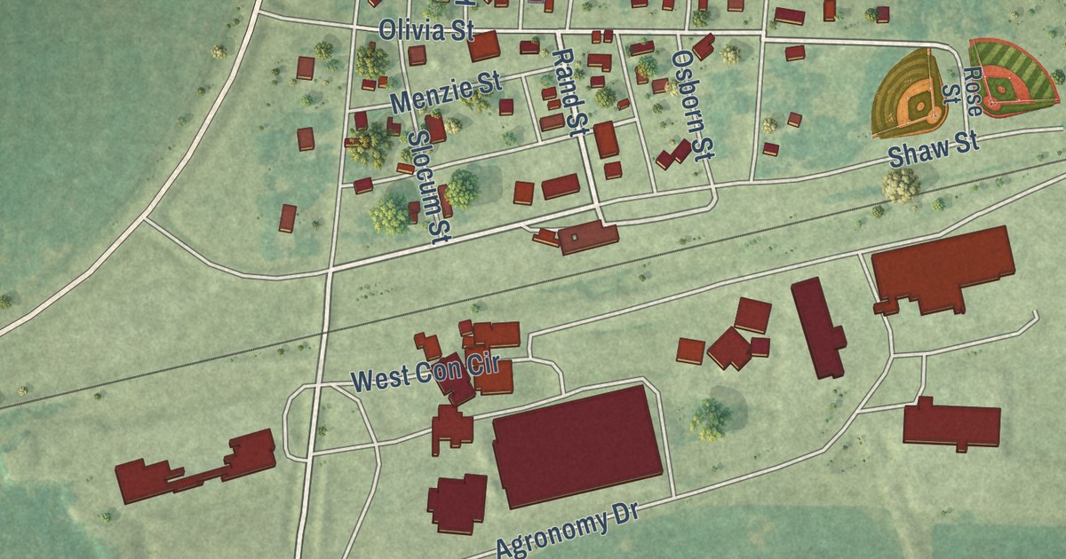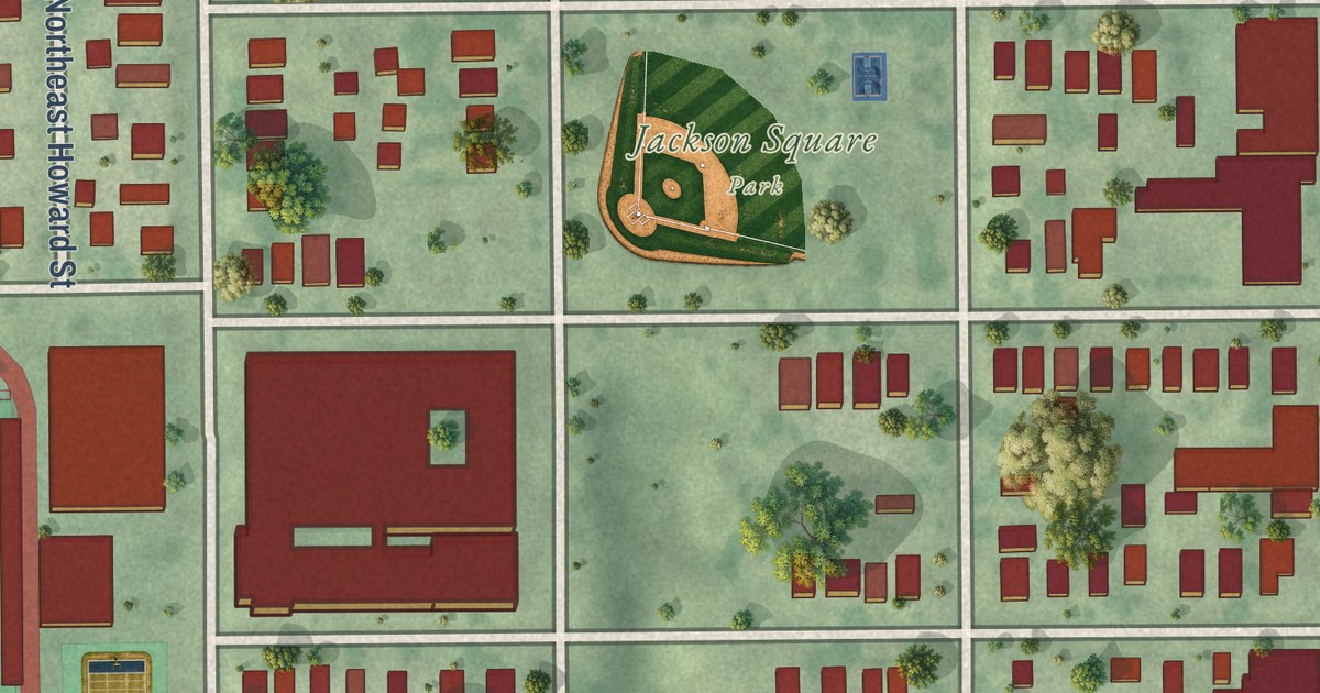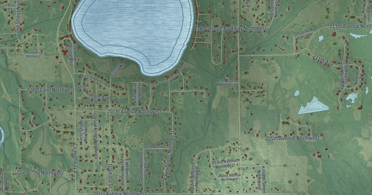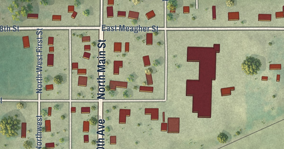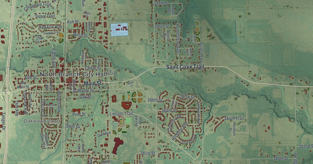
This beautifully detailed map of North Branch, Minnesota was created in 2026 using aerial imagery combined with modern topographical, census, street and landmark data. It’s a one-of-a-kind view of North Branch that combines accurate data with a vintage aesthetic. The map shows every building in its true location, many of the roads carry their names, and the shaded topographic relief shows the shape of the land.
Explore an aerial view of North Branch, Minnesota
On the map you’ll find North Branch City Hall, Branch, and Janet Johnson Memorial Wildlife Management Area, along with Oakwood Court, Saint Croix Trail, Main Street, 410th Street, 375th Street, 370th Street, Fill Avenue, 387th Street, Sioux Trail, and more. If you look closely you can even find your house accurately drawn in its correct location. Zoom in on the preview to look for yours.
Did you know this piece of North Branch, Minnesota history?
From the 1920 Minnesota Geographic Names: "North Branch, the railway village of Branch township, named for the North branch of Sunrise river, was platted in January, 1870."
Take a closer look at the North Branch map
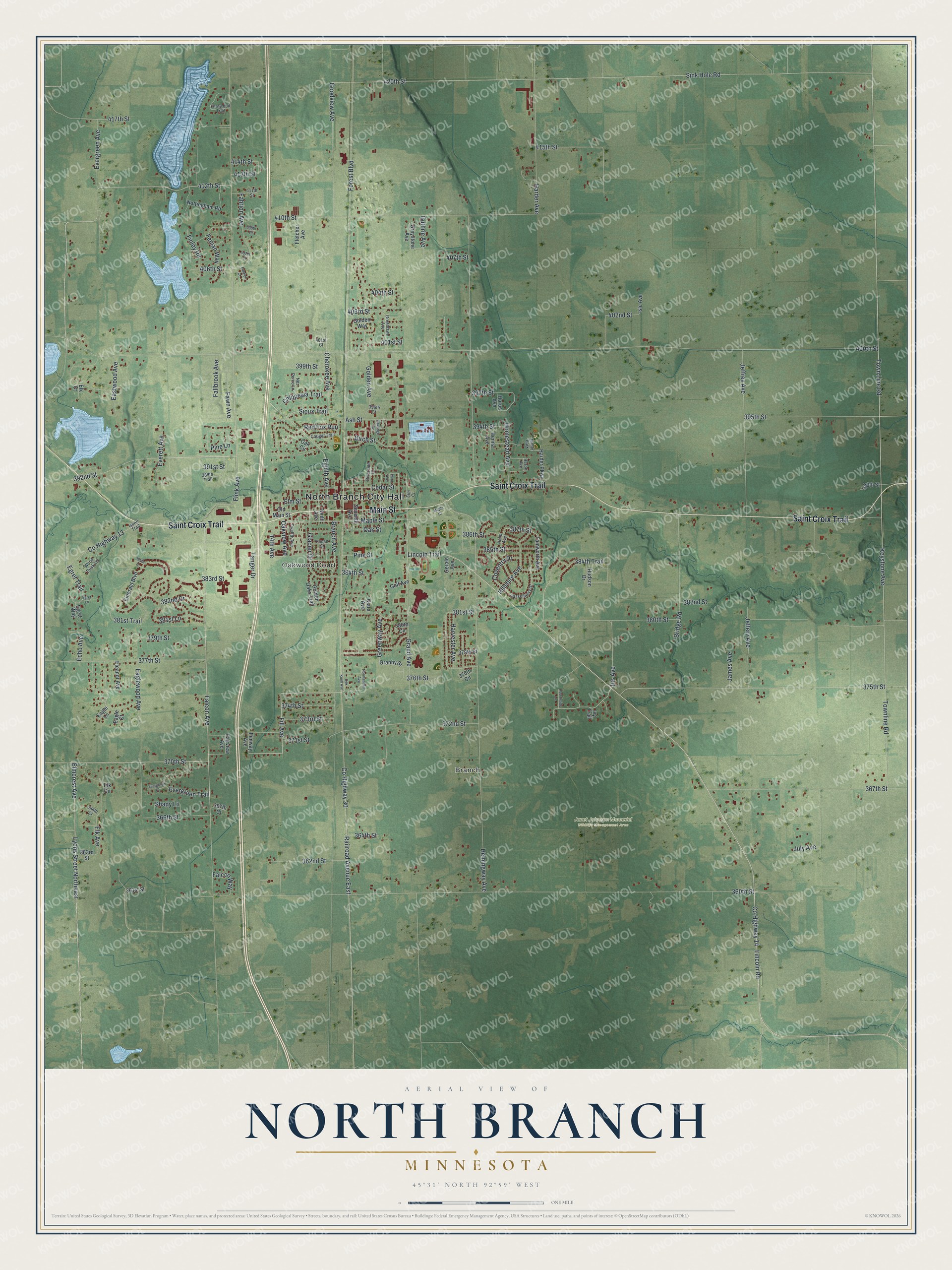
Street and place names on the North Branch, Minnesota map
These names are printed on the map of North Branch, Minnesota.
Places: North Branch City Hall, Branch, Oakwood Court, Janet Johnson Memorial Wildlife Management Area and Harder Park.
Streets and roads: Saint Croix Trail, Main Street, 410th Street, 375th Street, 370th Street, Fill Avenue, 387th Street, Sioux Trail, County Highway 14, Lincoln Trail, 381st Street, Lincoln Road.
More street names, A to Z
14th Avenue, 360th Street, 361st Street, 362nd Street, 363rd Street, 364th Street, 366th Court, 366th Street, 367th Court, 367th Street, 371st Street, 372nd Street, 373rd Street, 374th Street, 376th Circle, 376th Street, 377th Street, 378th Street, 379th Street, 380th Circle, 380th Street, 381st Lane, 381st Trail, 382nd Drive, 382nd Street, 383rd Street, 384th Court, 384th Street, 384th Trail, 385th Street, 386th Street, 389th Trail, 390th Street, 391st Street, 392nd Street, 394th Street, 395th Street, 396th Court, 397th Street, 399th Street, 400th Street, 401st Court, 401st Street, 402nd Street, 403rd Street, 404th Street, 406th Street, 407th Court, 407th Street, 409th Court, 411th Street, 412th Street, 413th Street, 414th Street, 415th Street, 417th Street, 420th Street, Ash Street, Birch Street, Branch Avenue, Bridge Road, Casselberry Drive, Cedar Street, Cherokee Avenue, Chippewa Trail, Clara Avenue, Cougar Trail, County Highway 13, County Highway 30, Coventry Drive, Eagle Court, Eagle Lane, Eaglewood Avenue, Eastwood Avenue, Echo Avenue, Egret Lane, Egret Trail, Egret Way, Eighth Avenue, Eleanor Avenue, Elk Avenue, Elk Circle, Elk Court, Elm Court, Elmcrest Avenue, Elm Street, Emerald Boulevard, Everett Avenue, Evergreen Avenue, Evergreen Place, Evergreen Trail, Fahrion Avenue, Fahrion Court, Fairview Avenue, Falcon Avenue, Falcon Way, Fallbrook Avenue, Fawn Avenue, Fenian Way, Fenway Avenue, Fernwood Trail, Finley Road, Fletcher Avenue, Flink Avenue, Forest Boulevard, Gerald Avenue, Glacier Drive, Golden Avenue, Golden Oaks Trail, Golden Way, Golf Avenue, Goodview Avenue, Granby Street, Grand Avenue, Greenlawn Avenue, Greenway Avenue, Greystone Avenue, Guthrie Avenue, Harder Avenue, Harder Parkway, Harvester Avenue, Hearthside Lane, Hemingway Avenue, Henna Avenue, Heron Avenue, Hillshire Avenue, Holm Avenue, Homestead Avenue, Horus Avenue, Hudson Drive, Iris Avenue, Isanti Trail, Isle Avenue, Ivy Trail, James Avenue, Jeffery Avenue, Jeffrey Avenue, July Avenue, Keystone Avenue, Lyons Street Northeast, Maple Court, Maple Street, Nez Perce Lane, Ninth Avenue, Normandale Avenue, Nottingham Road, Oak Circle, Oak Knoll Avenue, Oakridge Drive, Oak Street, Oakview Avenue, Old Main Street, Pecan Street, Pine Lane, Pine Street, Railroad Avenue East, Red Fox Run, Riverside Court, Seventh Avenue, Shady Lane, Sink Hole Road, Tamworth Avenue, Tanger Drive, Third Avenue, Town Line Road, Townline Road, Twelfth Avenue, Wood Duck Lane.
See the North Branch, Minnesota map on a wall
The North Branch map as an 18 x 24 inch print in a black frame.

This beautifully detailed map of North Branch makes an attractive addition to your office, library, or den, and it can even be used to teach children the geography and history of the area. It also makes a great gift for someone who left North Branch and still calls it home. When you’re done exploring, click here to get your copy of the North Branch map.